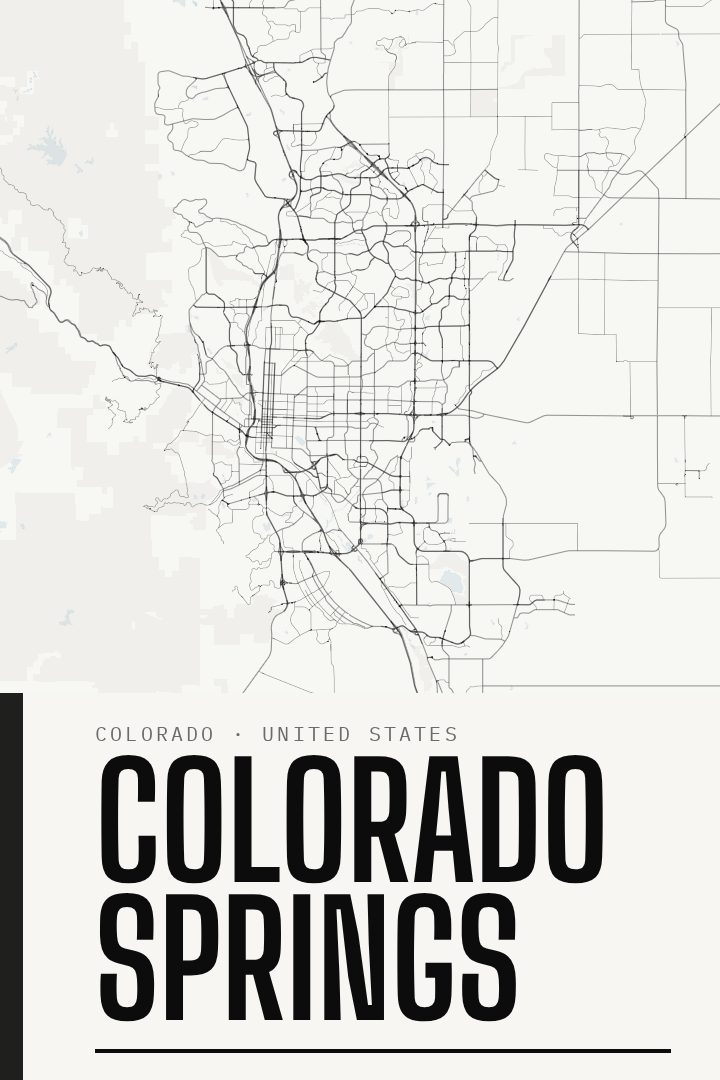
Shown at 16×24" · Archival Matte 250 gsm
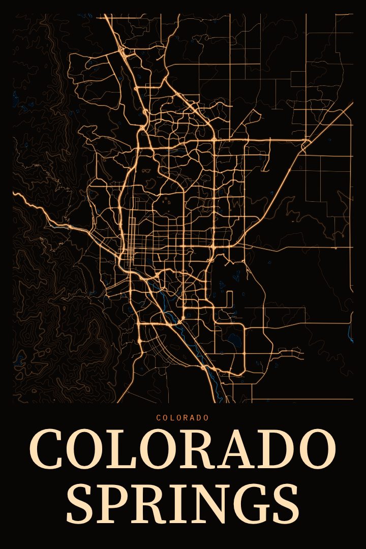
Colorado Springs City Map Poster
Blackline
About this print
Colorado Springs map poster
Colorado Springs sits where the plains meet the mountains, with Pikes Peak rising to the west and the Front Range shaping nearly every view in town. This Blackline edition renders the city as a street map poster, a quiet, graphic way to keep a place close without leaning on a postcard image. Blackline is a visual design style built on dark linework, and like every RadMaps print it is produced digitally.
The city means different things to different people. For some it is the place they grew up, learning the grid of neighborhoods and the long roads that stretch out toward the foothills. For others it is a stretch of military service, a college chapter, or a few years of weekend drives to Garden of the Gods and Manitou Springs. Plenty of people know it as the town they trained in, at altitude, before heading somewhere else. A street map holds all of those versions at once, because the shape of the city stays the same even as the memories attached to it differ.
A print like this tends to land well in a hallway, a home office, or above a desk, where the eye can wander over the pattern of streets without needing a reason. It also makes a thoughtful gift for someone who has moved away from Colorado Springs, or who has just arrived and is starting to make it home. It is meant as decorative art rather than a navigation aid, so it belongs on the wall, not in the glovebox. The available formats are listed on this page.
Make a custom map poster of your own routeDid it yourself? Make a poster from your own Strava activity
Route details
- Location
- Colorado, United States
- Collection
- Cityscapes
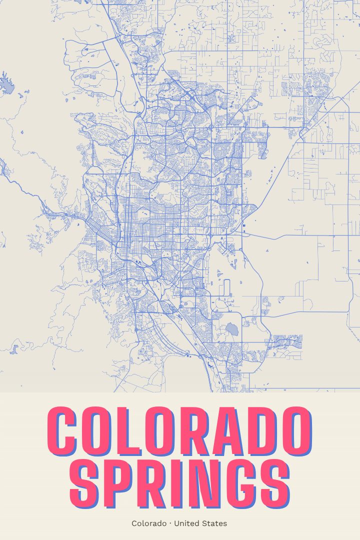
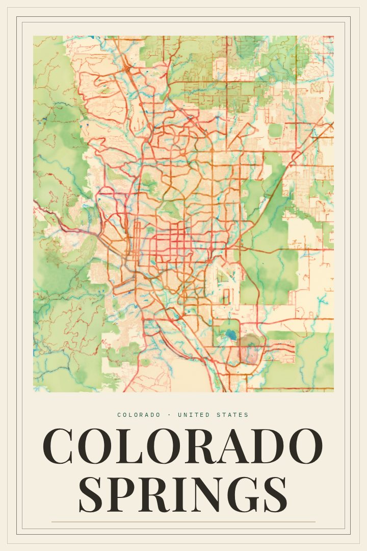
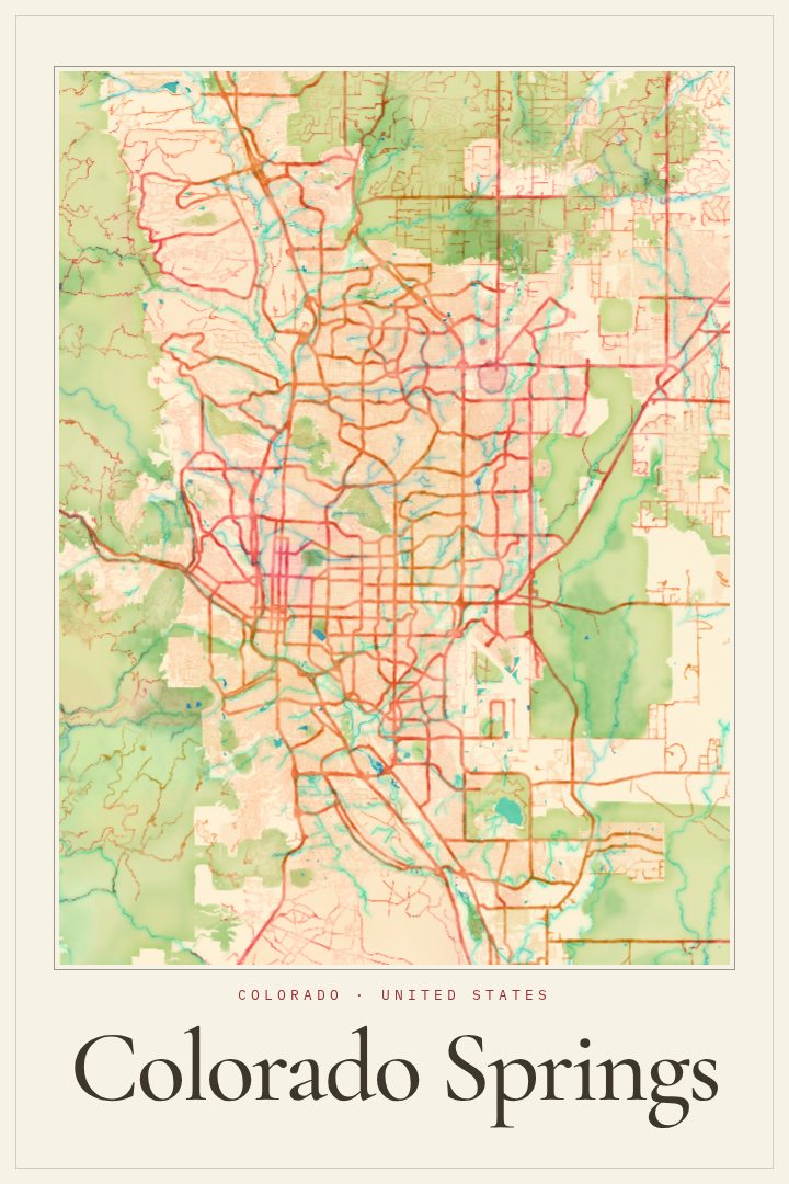
Same city, different style
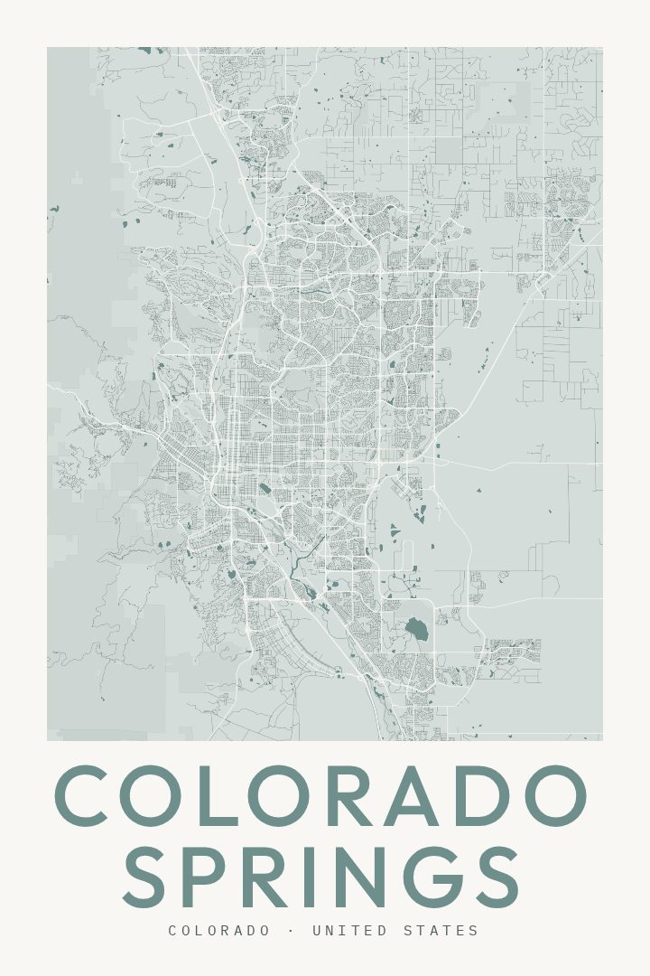
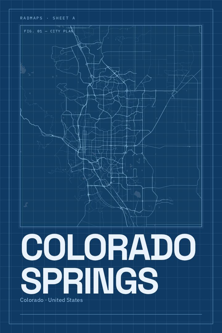
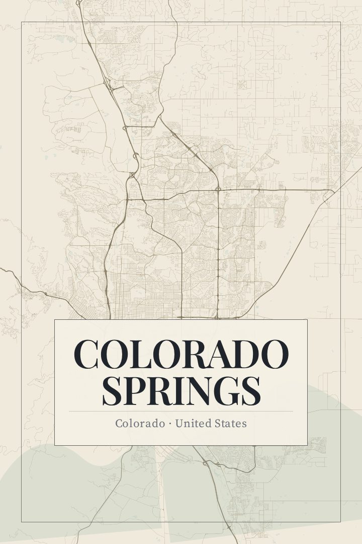
Colorado Springs in every style
You might also like
Related map posters




Part of a collection