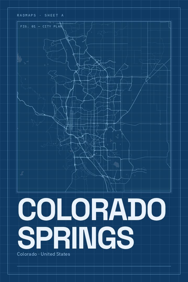
Shown at 16×24" · Archival Matte 250 gsm
Colorado Springs City Map Poster
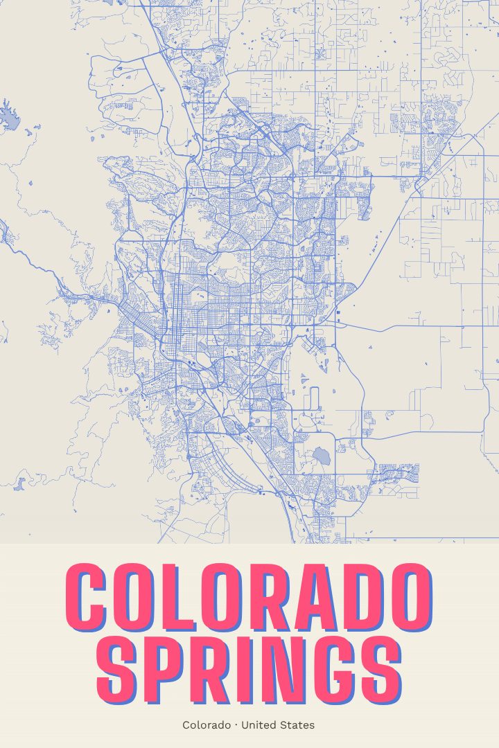
Blueprint
About this print
Colorado Springs map poster
Colorado Springs sits where the Great Plains run straight into the Front Range, with Pikes Peak rising to the west and the red rock formations of Garden of the Gods just beyond the edge of downtown. It's a city shaped by that meeting of flat land and mountains: neighborhoods spread east across open prairie, while the older streets near downtown and Old Colorado City press closer to the foothills. This Colorado Springs Blueprint print captures the city's street grid in a clean, technical style that suits a place with such a strong sense of structure and setting.
The Blueprint edition is a visual design style, drawing on the look of drafting sheets and engineering plans. That approach gives the city's streets a precise, orderly character, a fitting treatment for a town where the mountains are always somewhere on the horizon and the layout of the place feels tied to the land around it. It reads as calm and architectural on a wall, and it works as well in a home office or entryway as it does in a living room.
For anyone who grew up in Colorado Springs, studied or served there, or spent time hiking the trails around Cheyenne Cañon and the Front Range, this map is a quiet reminder of a particular place. It also makes a thoughtful gift for someone who has recently moved to the city or away from it. Like every RadMaps poster, it's meant as decorative art rather than a navigation aid. It's a way to keep a city close, not a tool for finding your way through it.
Make a custom map poster of your own routeDid it yourself? Make a poster from your own Strava activity
Route details
- Location
- Colorado, United States
- Collection
- Cityscapes
Same city, different style
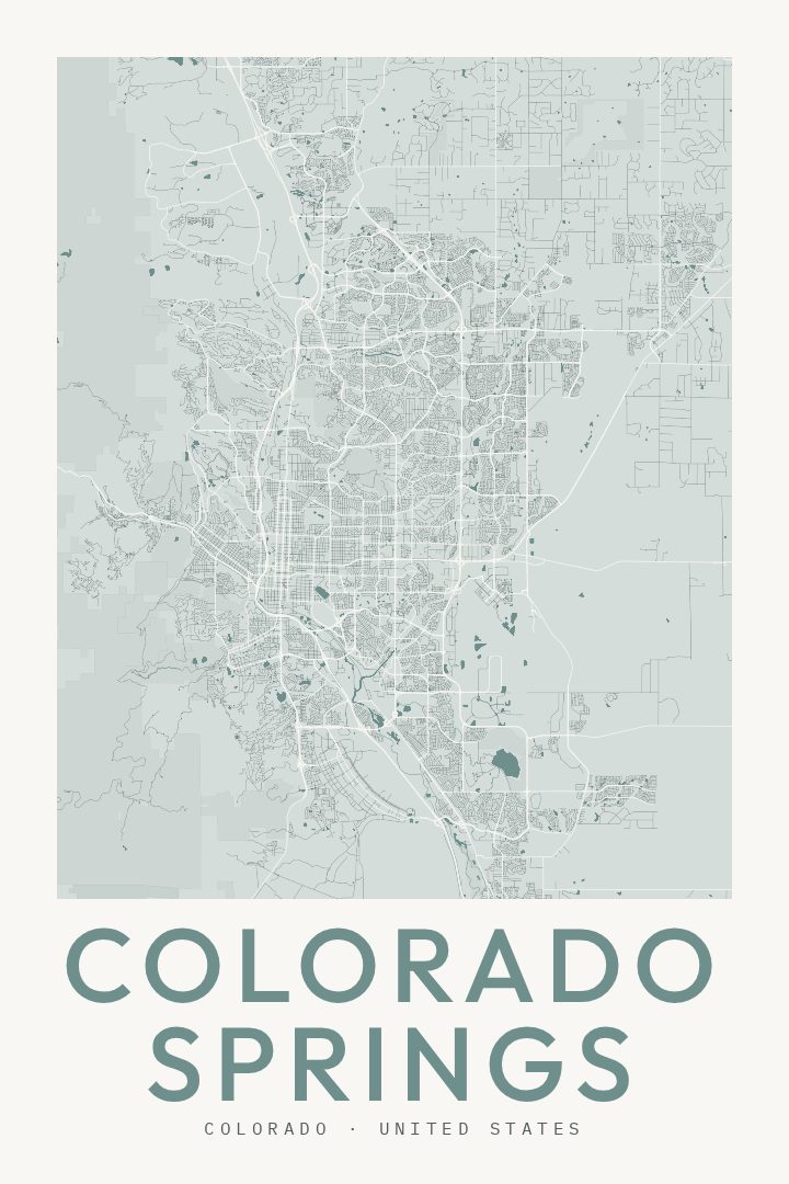
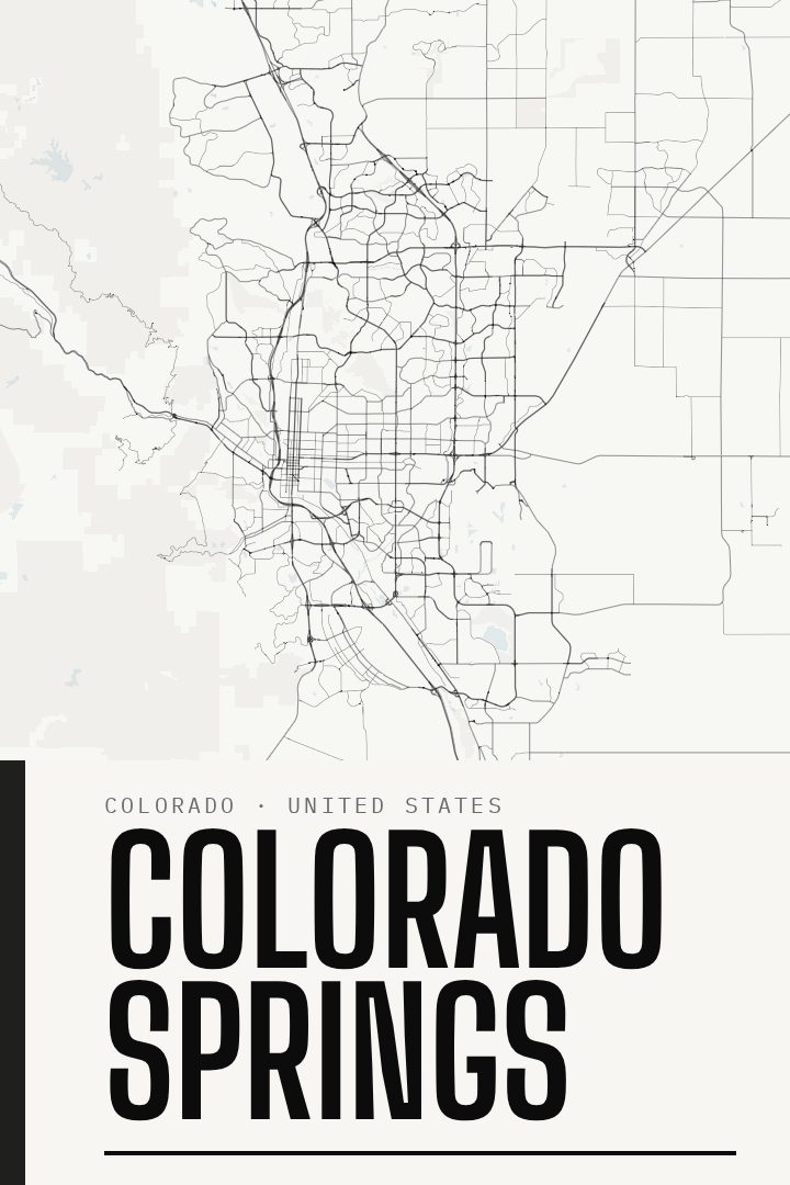
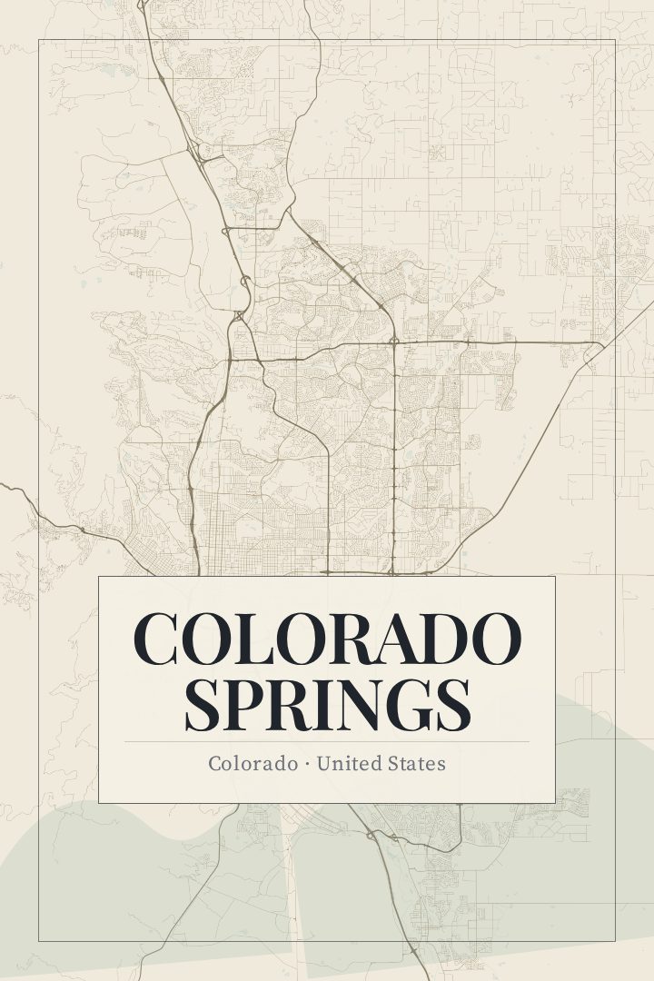
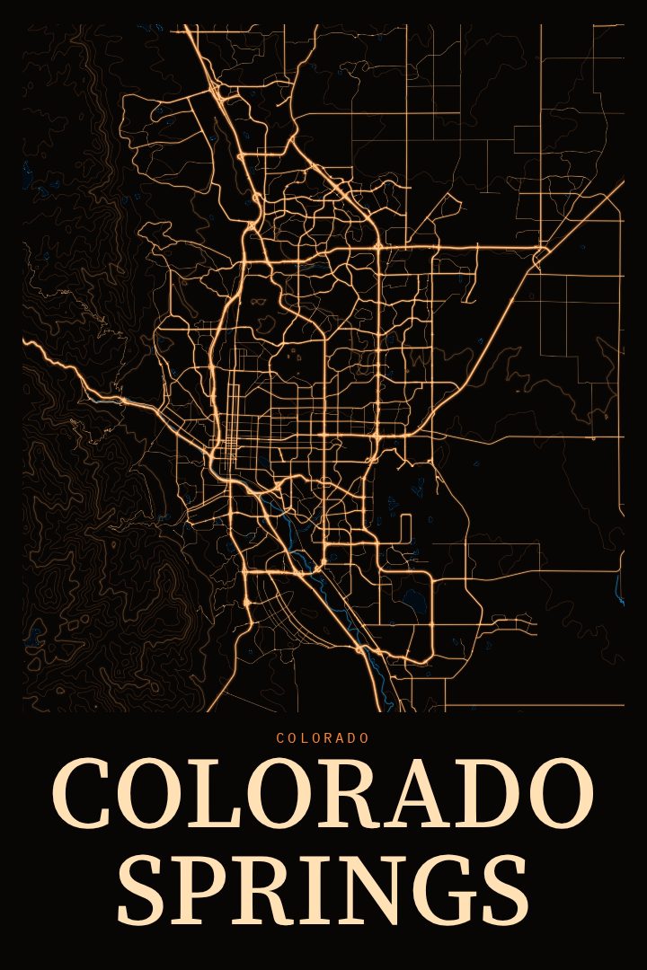
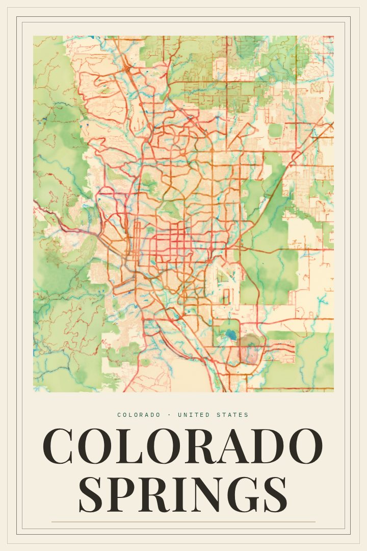
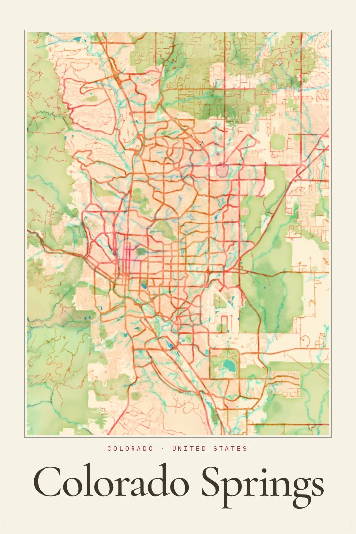
Colorado Springs in every style
You might also like
Related map posters




Part of a collection