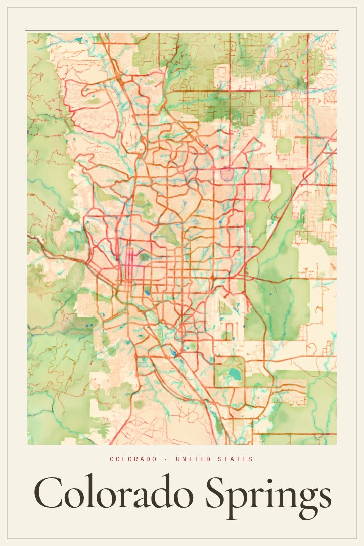
Shown at 16×24" · Archival Matte 250 gsm
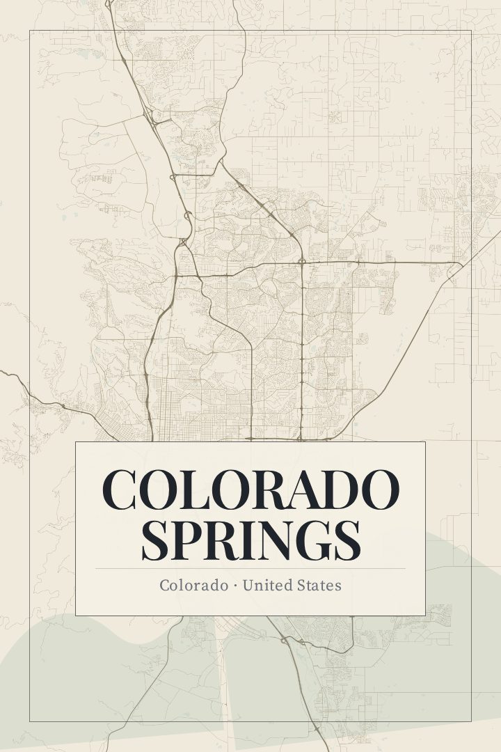
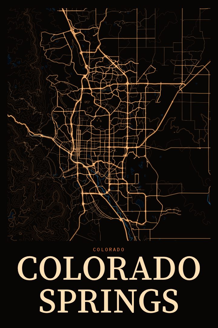
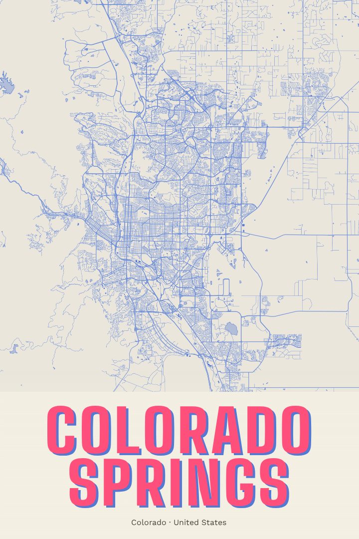
Colorado Springs City Map Poster
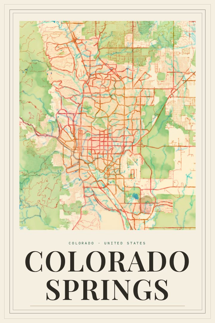
Watercolor
About this print
Colorado Springs map poster
Colorado Springs sits where the Great Plains run up against the Front Range, with Pikes Peak rising to the west. It is a city shaped by that meeting of flat ground and mountains, home to the red rock formations of Garden of the Gods, the campus of the United States Air Force Academy just to the north, and old neighborhoods that grew up alongside the railroad and the resort trade of the late nineteenth century. For people who live there, or once did, the street grid carries a lot of ordinary memory: commutes, first apartments, weekend drives toward Manitou Springs and the foothills.
This poster renders the Colorado Springs street map in the Watercolor style, a design treatment that trades the hard lines of a standard map for soft, washed color and gentle edges. The result reads more like a painting of the city's layout than a diagram of it, which makes it easy to hang in a living room, hallway, or office without feeling technical. It is meant as decorative art, a way to keep a familiar place in view, not a tool for finding a way around.
It suits a few kinds of buyers well. Residents often want a piece that reflects where they actually live rather than a generic mountain scene. People who have moved away, whether after a military posting, college, or years of family life in the city, tend to look for something that holds the shape of home. It also makes a thoughtful housewarming or farewell gift for anyone with ties to Colorado Springs, and pairs naturally with other RadMaps city prints for a wall of places that matter.
Make a custom map poster of your own routeDid it yourself? Make a poster from your own Strava activity
Route details
- Location
- Colorado, United States
- Collection
- Cityscapes
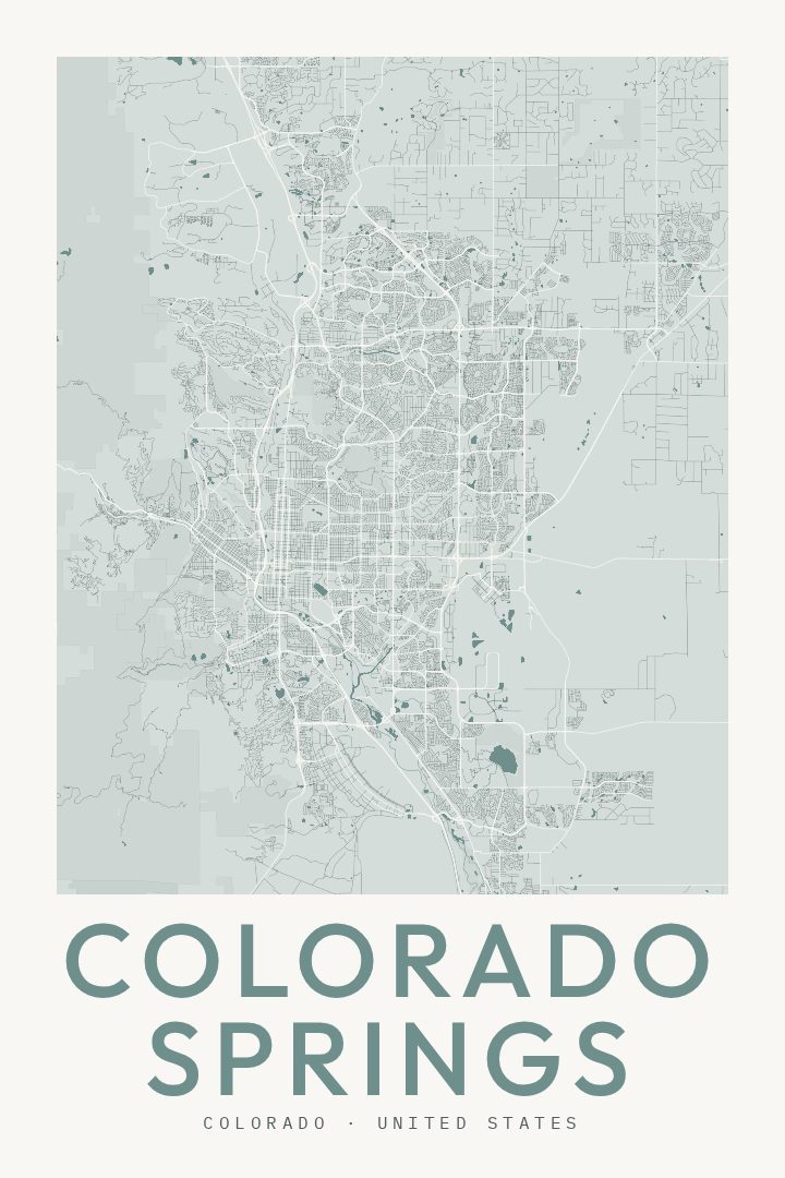
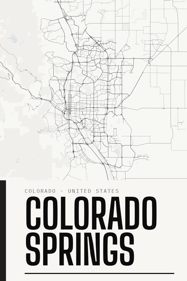
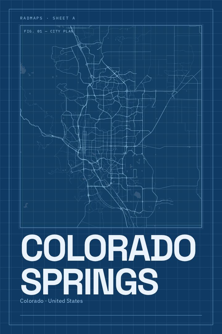
Same city, different style
Colorado Springs in every style
You might also like
Related map posters




Part of a collection