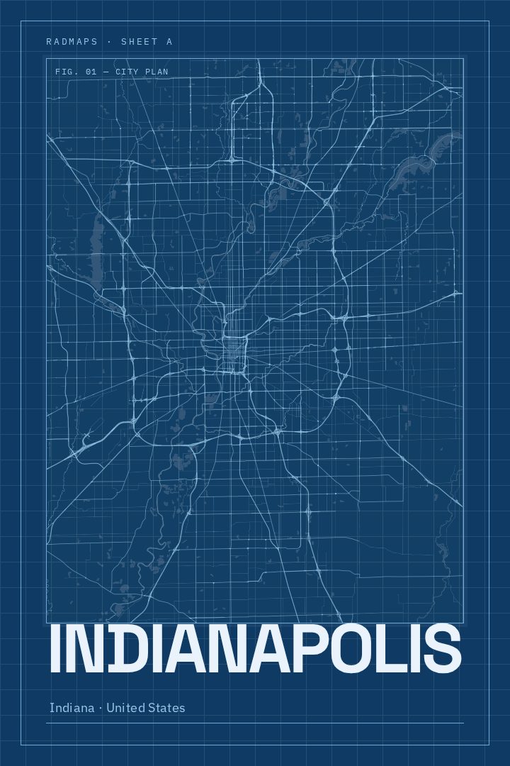
Shown at 16×24" · Archival Matte 250 gsm
Indianapolis City Map Poster
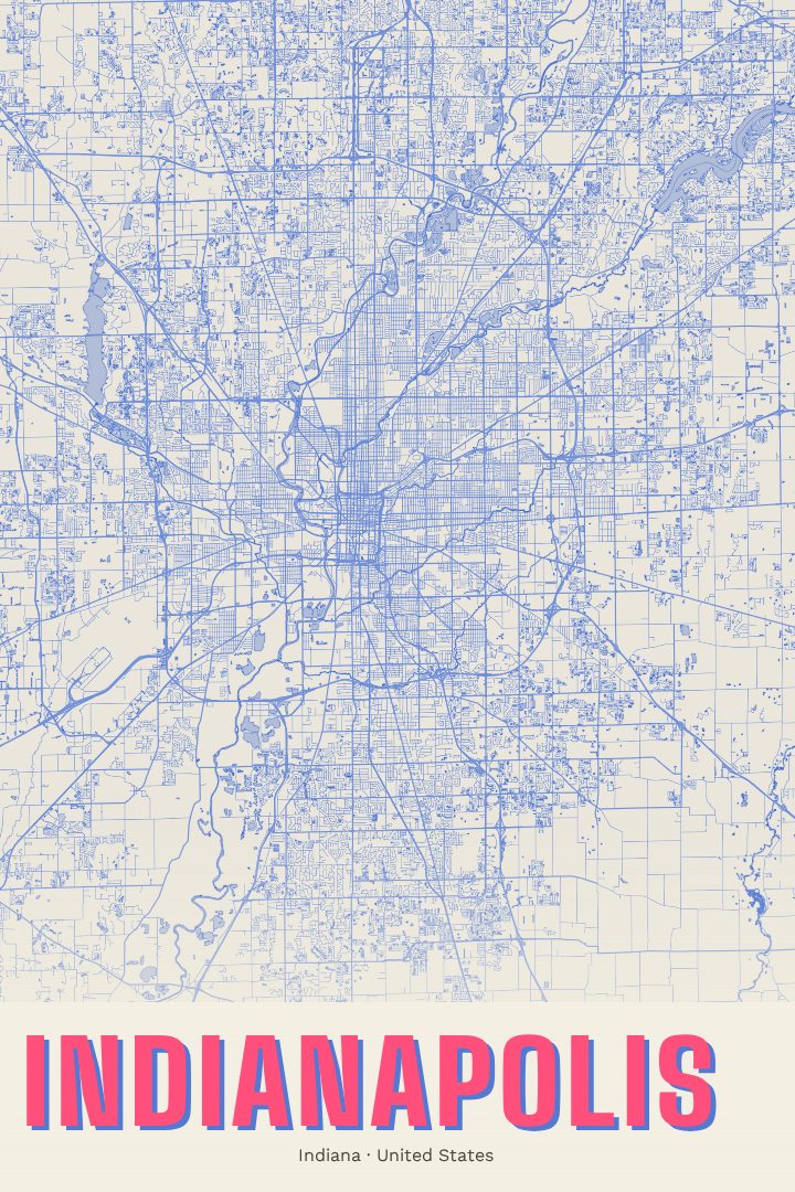
Blueprint
About this print
Indianapolis map poster
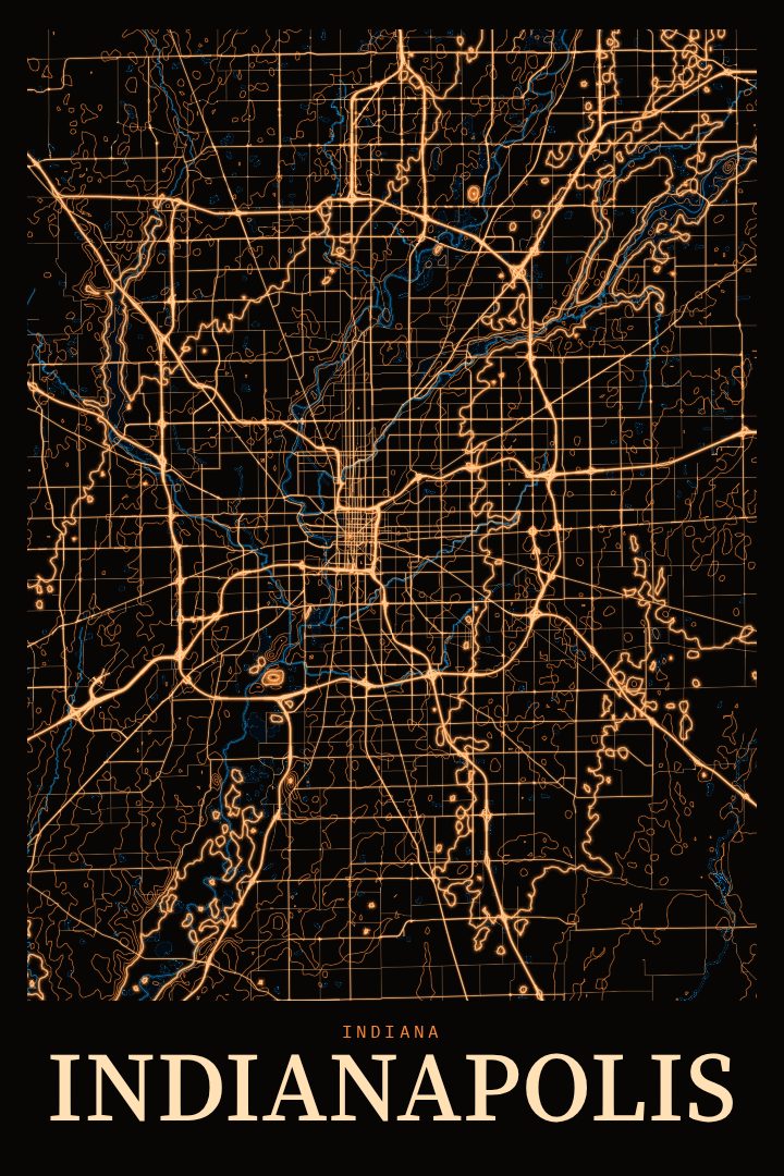
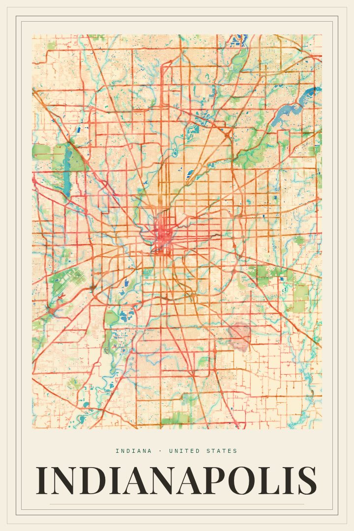
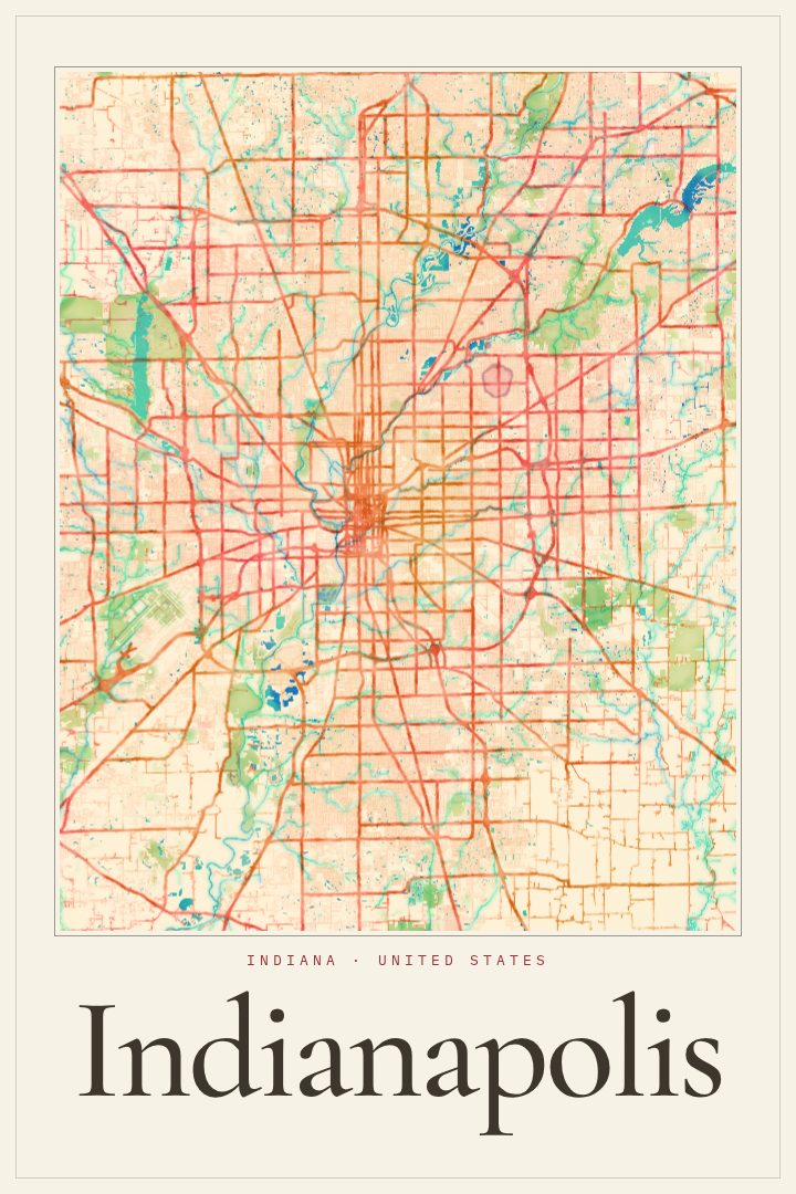
Indianapolis is a city laid out with intention. Its downtown grew from a planned grid centered on a circle, with diagonal avenues cutting across the blocks toward the heart of town. That deliberate geometry makes it a natural subject for a street map print, and this Blueprint edition presents the city as a clean, measured drawing. It suits a place known as much for its order as for its energy.
The Blueprint style leans into precision. It brings to mind technical drawings and drafting tables, which fits a city that was mapped out before much of it was built. The result reads as calm and architectural rather than busy, so it sits comfortably in a home office, a living room, or a hallway where a quieter piece works better than a loud one. It is decorative art, made to be looked at and enjoyed, not used to find a way across town.
This is a print for people with a real tie to Indianapolis. That might be someone who grew up near the White River, spent college years in the city, or still drives in for race weekends at the Speedway. It could be someone who now calls the Circle City home after moving from somewhere else. It also makes a thoughtful gift for anyone leaving Indiana who wants to keep a piece of the place on the wall, or for a new homeowner settling into one of its neighborhoods. The exact print options are listed on this page.
Make a custom map poster of your own routeDid it yourself? Make a poster from your own Strava activity
Route details
- Location
- Indiana, United States
- Collection
- Cityscapes
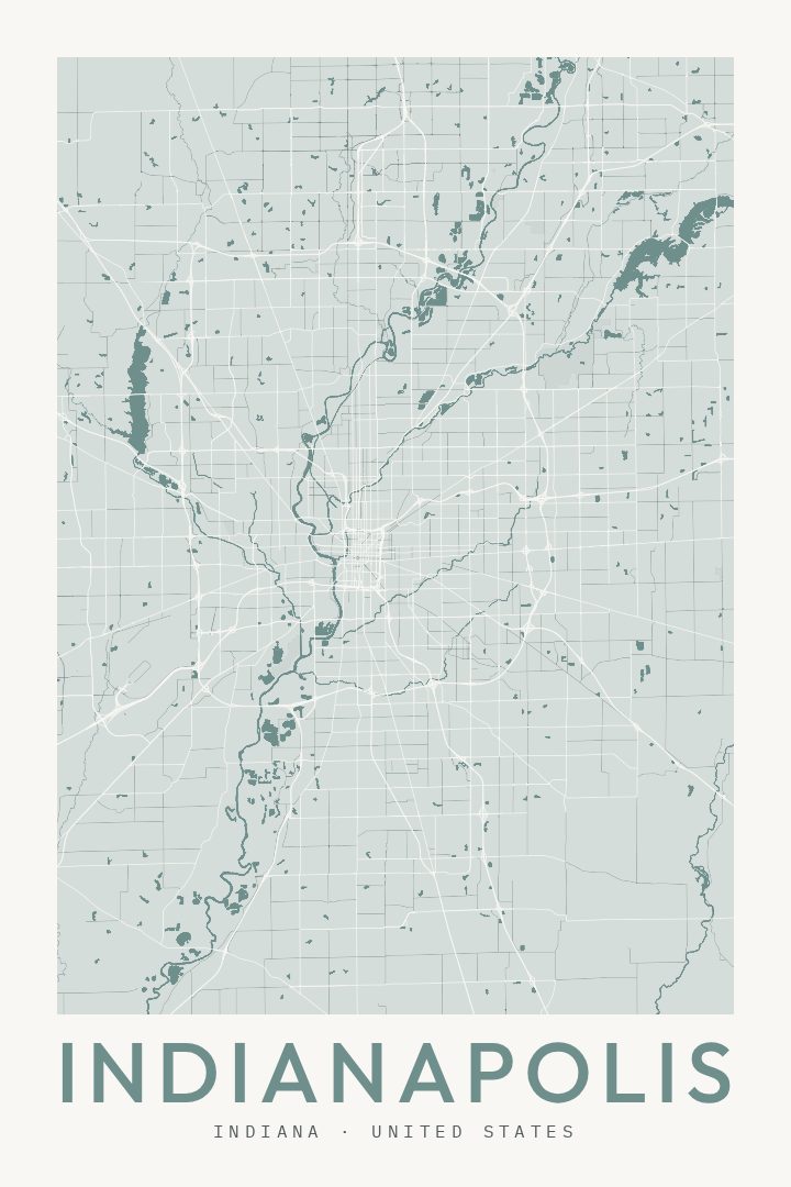
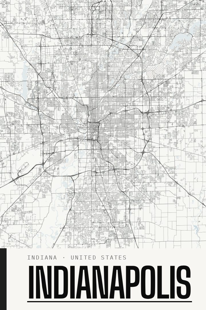
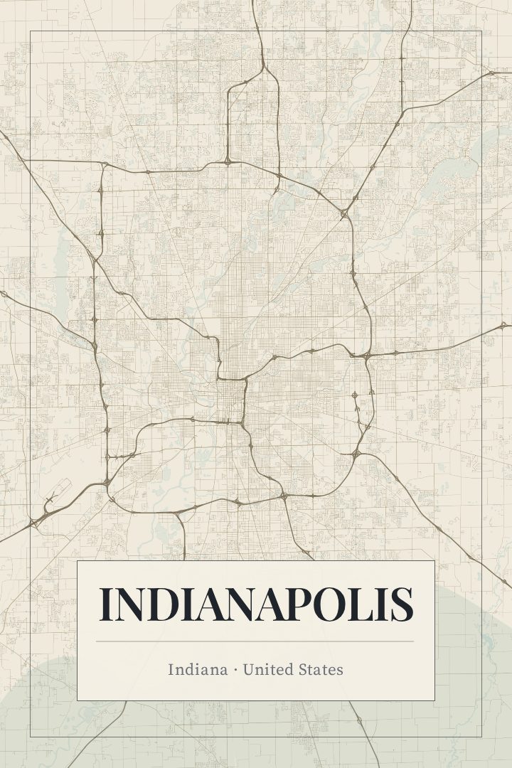
Same city, different style
Indianapolis in every style
You might also like
Related map posters




Part of a collection