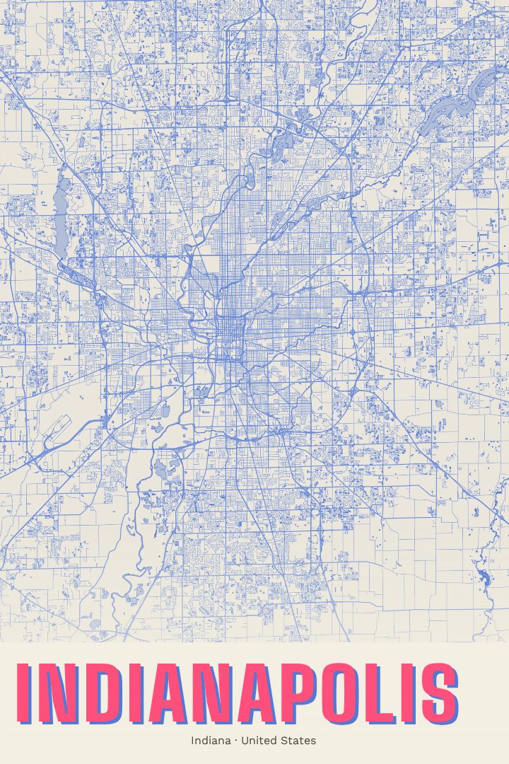
Shown at 16×24" · Archival Matte 250 gsm
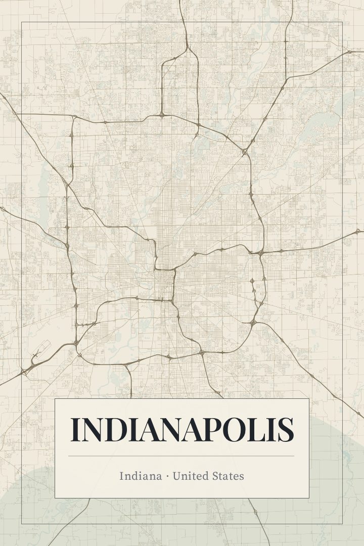
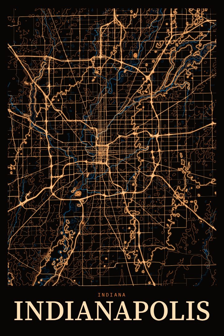
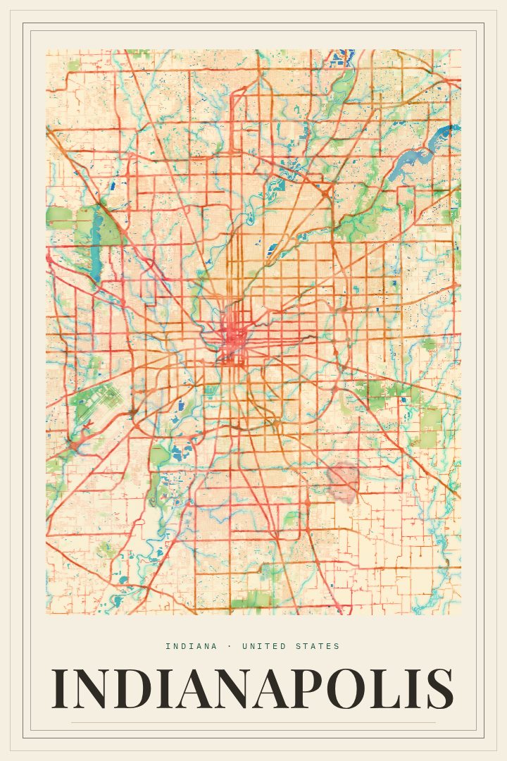
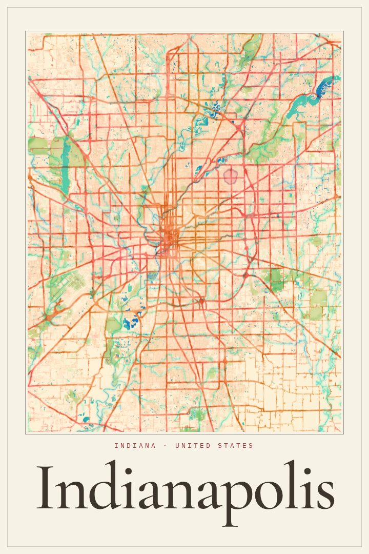
Indianapolis City Map Poster
Overprint
About this print
Indianapolis map poster
Indianapolis is a city that rewards people who know it well. The state capital of Indiana grew outward from a planned downtown, with streets laid out around Monument Circle and diagonal avenues cutting across the grid toward the edges of town. From there the city spreads in every direction, across the White River and out through neighborhoods that each carry their own character, from older brick districts near the center to quieter residential streets farther out.
This poster presents Indianapolis as a street map in the Overprint edition, one of the RadMaps design styles. It suits someone who has lived here for years, someone who moved away and still thinks of it as home, or someone with a particular attachment to the place, whether that comes from college, a first apartment, a job downtown, or Memorial Day weekends spent in town for the racing. A map of a home city works quietly on a wall. It invites the kind of conversation where people point out where they grew up or where they used to work.
The print is meant as decorative art rather than a navigation aid, so it is better at holding memories than giving directions. It fits a living room, a hallway, or an office, and it makes a thoughtful gift for anyone with roots in central Indiana. The available sizes and finishes are listed on this page.
Make a custom map poster of your own routeDid it yourself? Make a poster from your own Strava activity
Route details
- Location
- Indiana, United States
- Collection
- Cityscapes
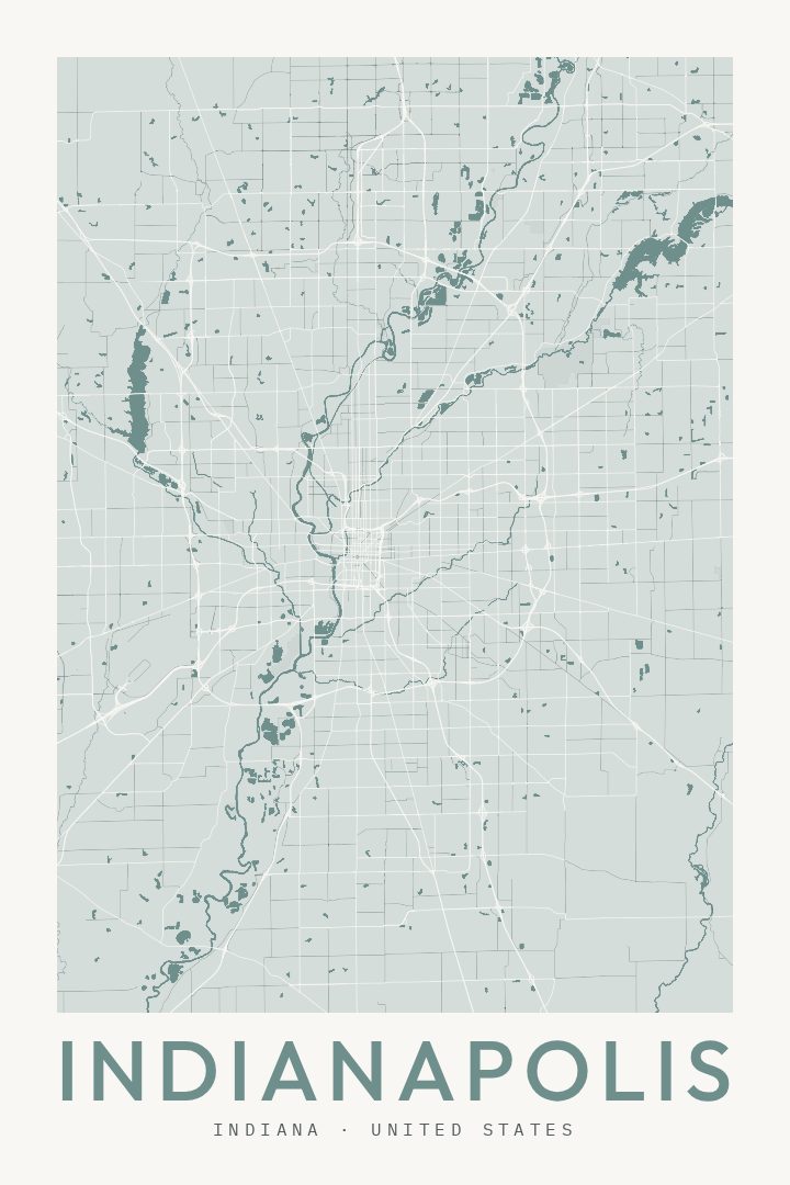
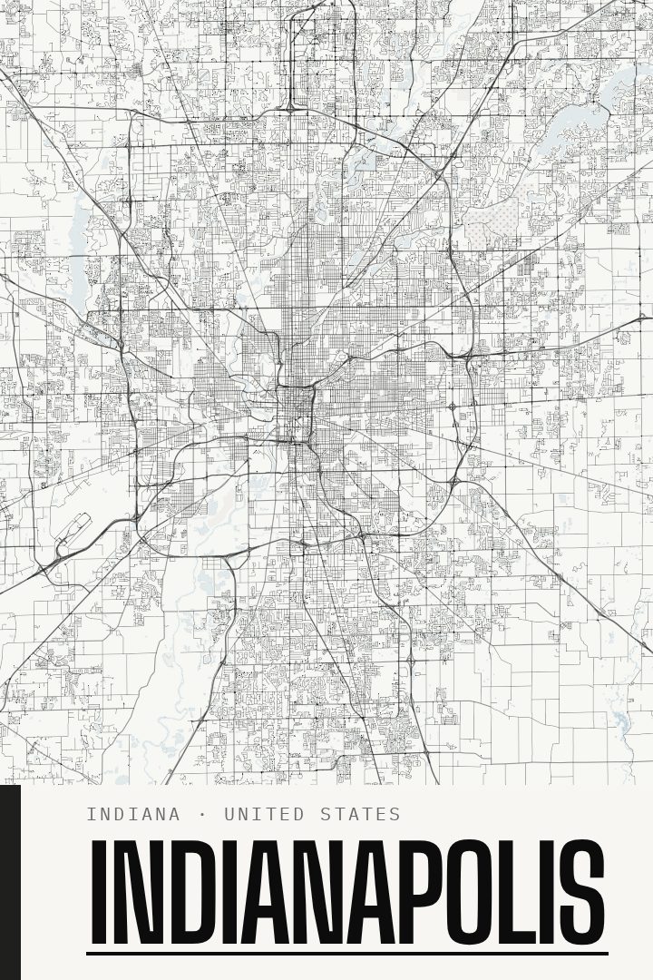
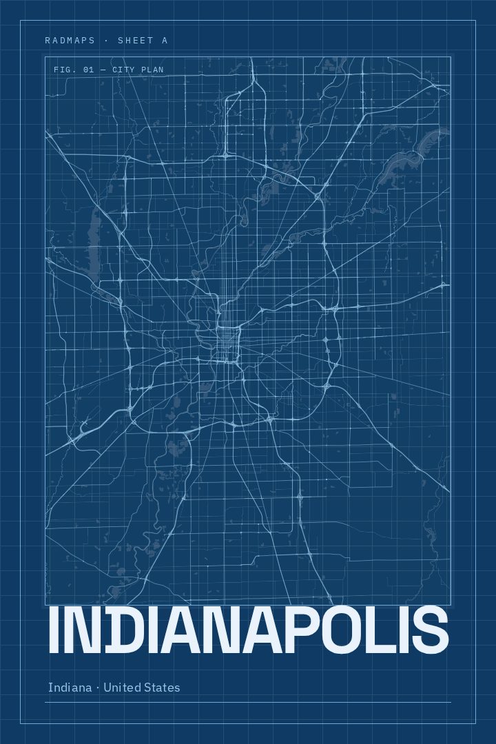
Same city, different style
Indianapolis in every style
You might also like
Related map posters




Part of a collection