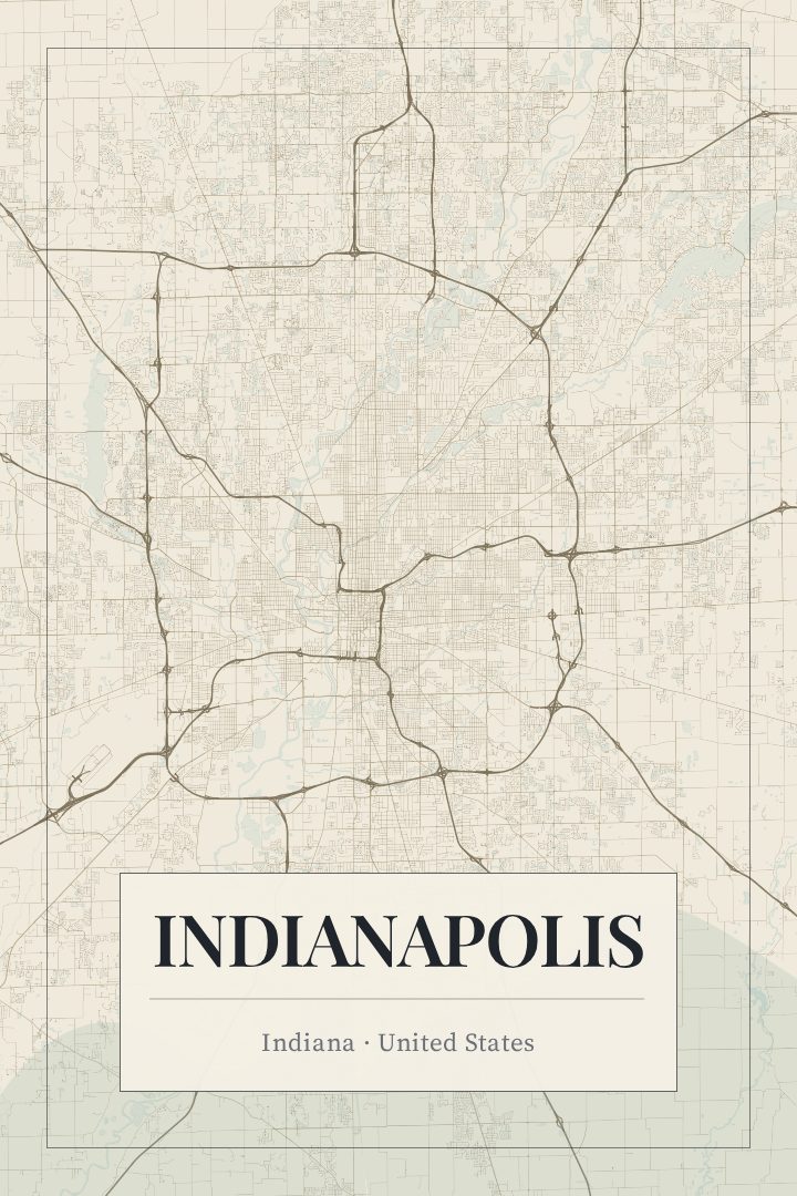
Shown at 16×24" · Archival Matte 250 gsm
Indianapolis City Map Poster
Cartouche
About this print
Indianapolis map poster
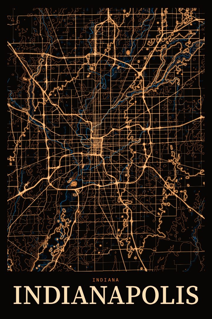
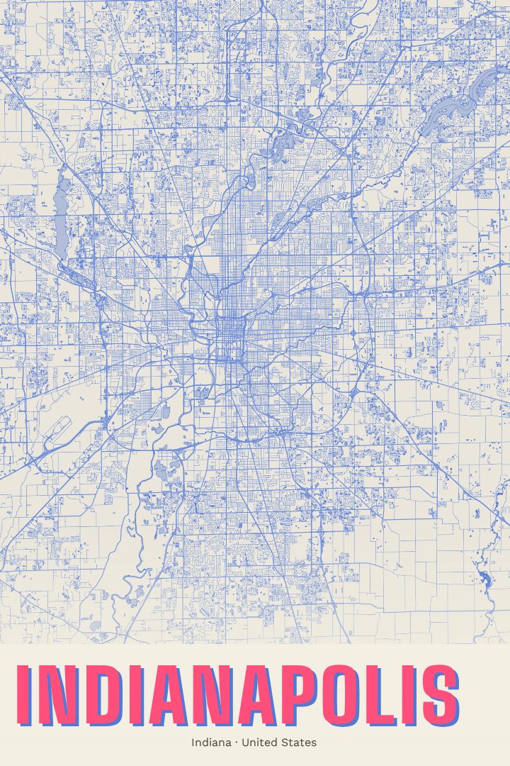
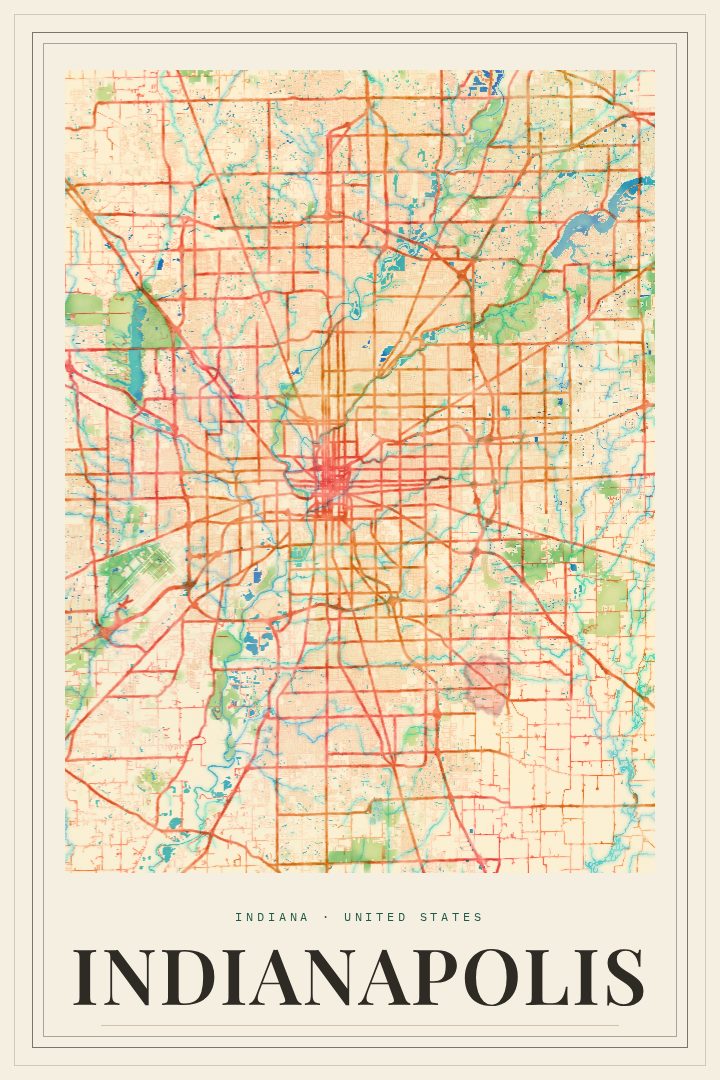
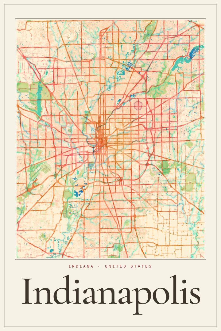
Indianapolis is a city that wears its plan openly. Laid out as a new state capital in the early nineteenth century, it grew from a compact grid with a circle at its center, where the Soldiers' and Sailors' Monument now stands, and diagonal avenues reaching outward toward the edges of town. That clear, deliberate shape still guides how the city feels today, from the downtown core along the canal to the neighborhoods that spread in every direction across flat Indiana ground.
This print presents Indianapolis in the Cartouche style, a design approach that nods to the ornamental framing found on older maps while keeping the city itself as the focus. It suits a place whose identity is tied so closely to its street plan, and it gives a familiar map a sense of occasion without tipping into nostalgia for its own sake.
For people who grew up here, moved away, or recently arrived, a street map of Indianapolis can hold a lot of personal history: the drive to a first apartment, the route to a game downtown, the long Memorial Day weekend when the whole city seems to turn toward the Speedway. It works as a quiet reminder of home in a living room, an office, or a hallway, and as a thoughtful gift for anyone with ties to the Circle City. It is meant as decorative art for the wall, a way to keep a well-loved place in view, rather than a tool for finding the way around town.
Make a custom map poster of your own routeDid it yourself? Make a poster from your own Strava activity
Route details
- Location
- Indiana, United States
- Collection
- Cityscapes
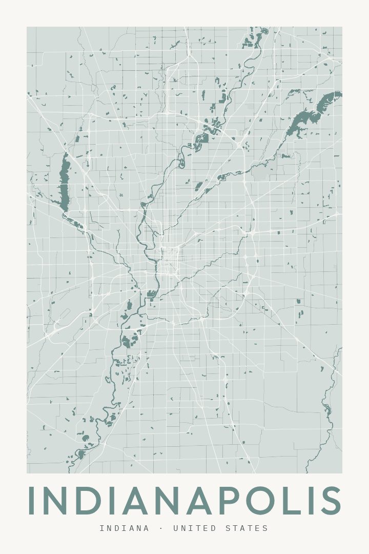
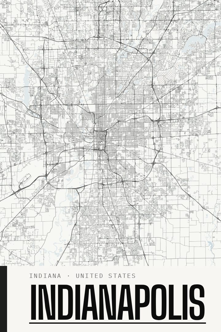
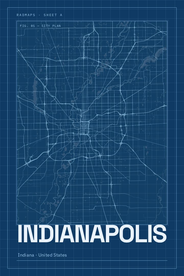
Same city, different style
Indianapolis in every style
You might also like
Related map posters




Part of a collection