
Shown at 16×24" · Archival Matte 250 gsm
Madison City Map Poster
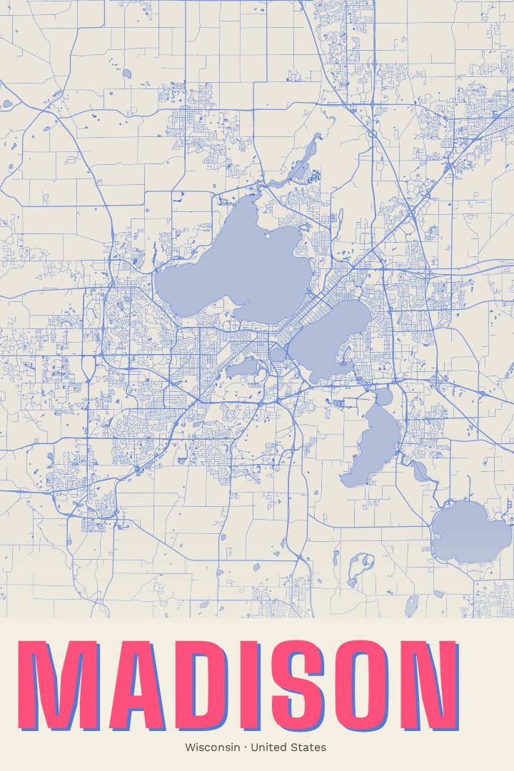
Blueprint
About this print
Madison map poster
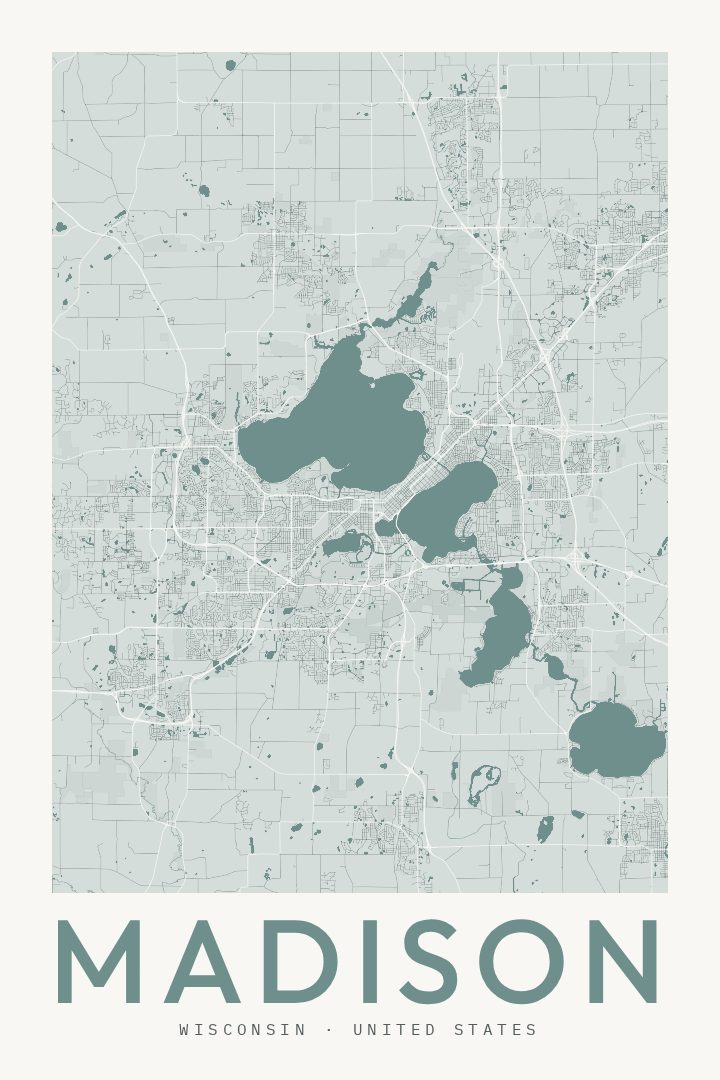
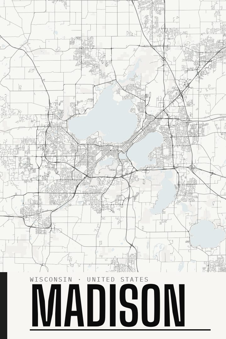
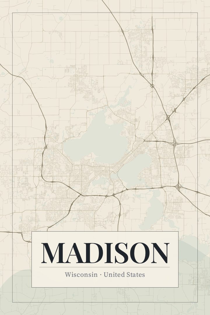
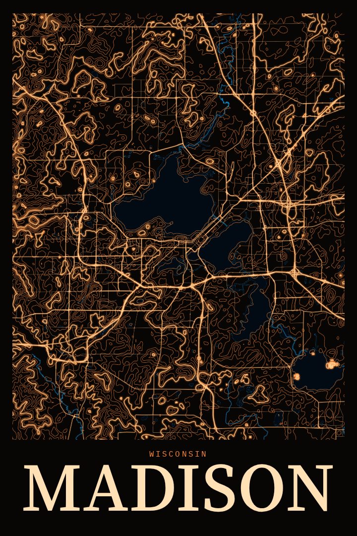
Madison is a city shaped by water. It sits on a narrow isthmus between Lake Mendota and Lake Monona, with the Wisconsin State Capitol rising near the middle of that strip of land and the University of Wisconsin campus stretching along the Mendota shoreline. Anyone who has lived there knows how the lakes organize everything else: the commute, the bike paths, the views at the end of a street, the sense that the city is always a few blocks from the shore.
This print presents Madison's street grid in the Blueprint style, a clean, technical look that suits a place built around such a distinctive layout. The design treats the city as drawn structure: roads, water, and the shape of the land, rendered with the calm precision of an architectural sheet. It works as a quiet piece for a home office, a reminder of a college town on a hallway wall, or a gift for someone who moved away and still thinks about summer evenings on the Memorial Union Terrace or Saturday mornings at the farmers' market around Capitol Square.
Madison holds different meanings for different people. For some it is where they studied, for others where they raised a family, started a career, or simply spent a few good years. A map has a way of holding all of that without spelling it out. This poster is made as decorative art rather than a guide for getting around, and it is meant to hang somewhere it will be noticed and remembered.
Make a custom map poster of your own routeDid it yourself? Make a poster from your own Strava activity
Route details
- Location
- Wisconsin, United States
- Collection
- Cityscapes
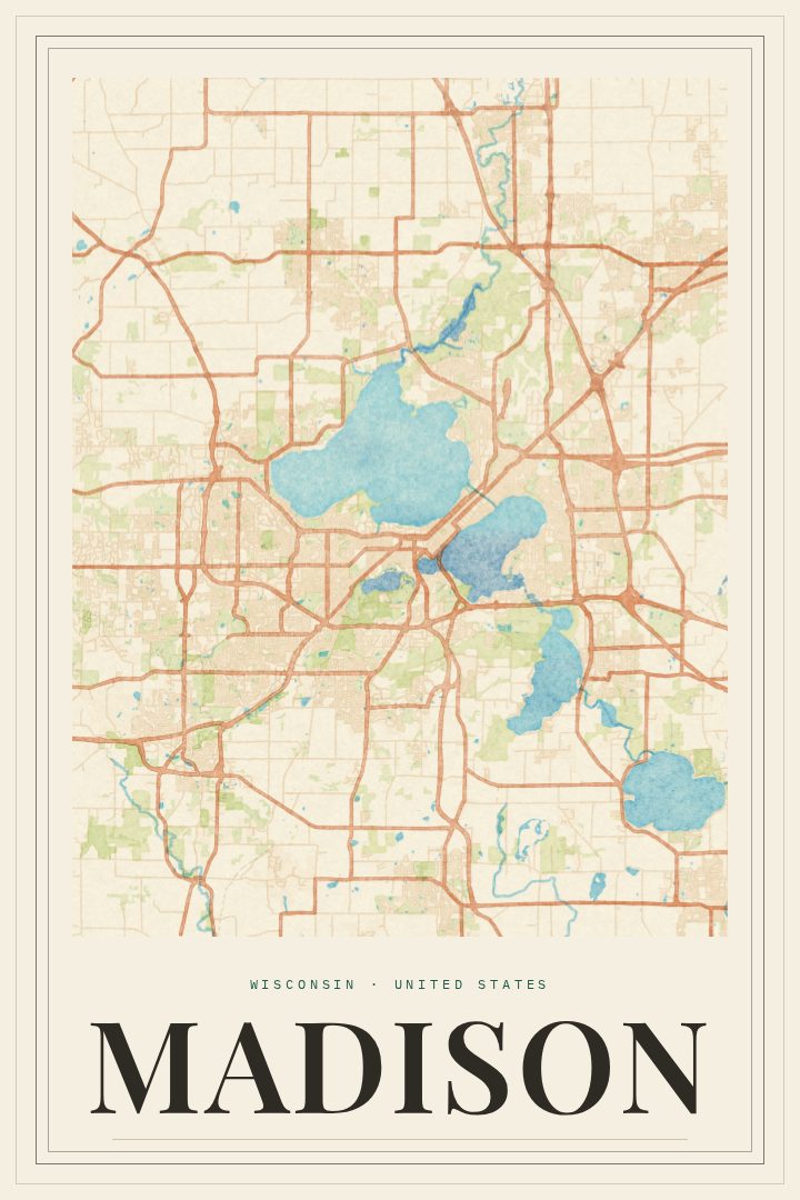
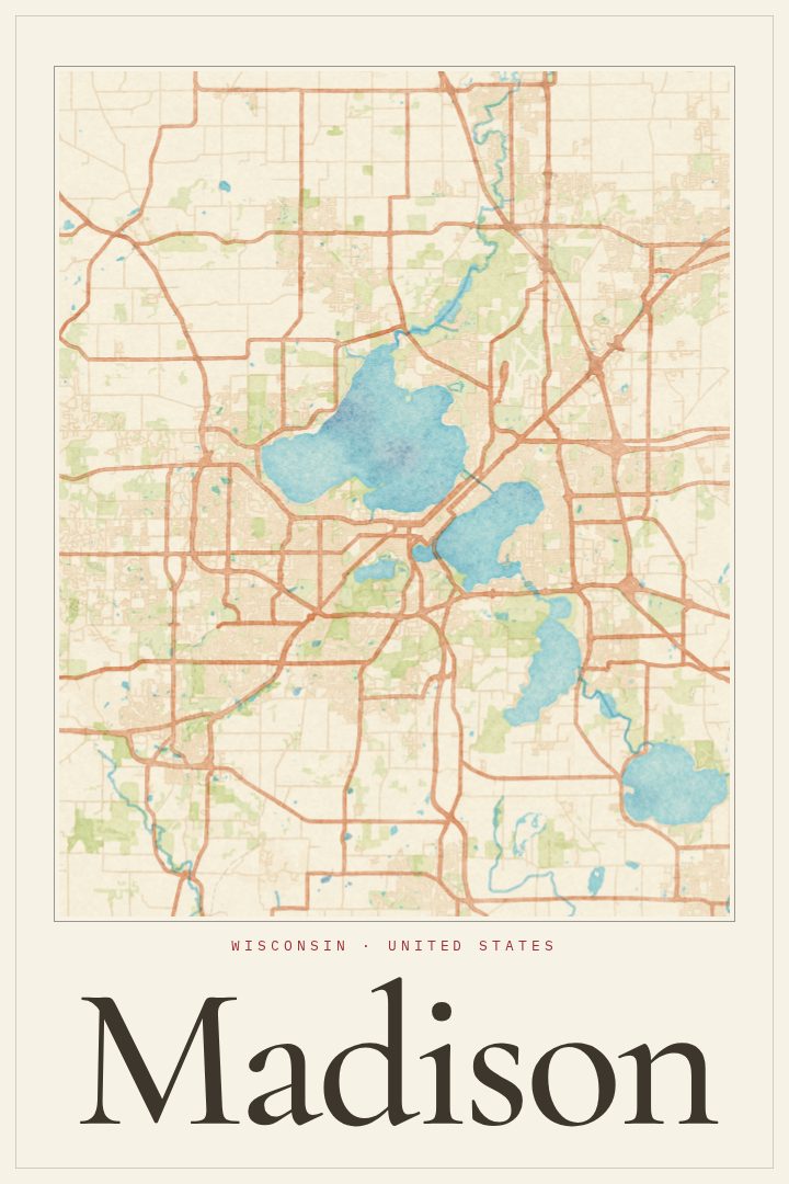
Same city, different style
Madison in every style
You might also like
Related map posters




Part of a collection