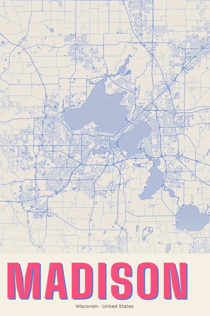
Shown at 16×24" · Archival Matte 250 gsm
Madison City Map Poster
Overprint
About this print
Madison map poster
Madison is a city shaped by water. Its downtown sits on a narrow isthmus between Lake Mendota and Lake Monona, and the street grid tightens and bends to fit that strip of land, with the Wisconsin State Capitol rising near its middle. State Street runs from Capitol Square toward the University of Wisconsin–Madison campus along the Mendota shore. Beyond the isthmus, the city opens out into neighborhoods, parks and shoreline that give it an easygoing, outdoorsy character for a state capital.
This print presents Madison as a street map in the Overprint edition, one of the visual design styles RadMaps offers. It is meant to hang as art, a graphic portrait of how the city fits together rather than something to plan a route with. That makes it at home in a living room, a home office or a first apartment, and it sits comfortably alongside other prints of places that matter.
A map of Madison tends to carry a lot of personal history. For someone who spent college years on campus, walked the Square on a Saturday during the farmers' market, biked along the lakes or simply grew up nearby, the shape of the isthmus is instantly familiar. The poster also makes a thoughtful gift for a graduate, a new resident or a friend who moved away and still talks about the place. It is a quiet, lasting reminder of a city defined by its lakes, its Capitol and the people who have called it home.
Make a custom map poster of your own routeDid it yourself? Make a poster from your own Strava activity
Route details
- Location
- Wisconsin, United States
- Collection
- Cityscapes
Same city, different style
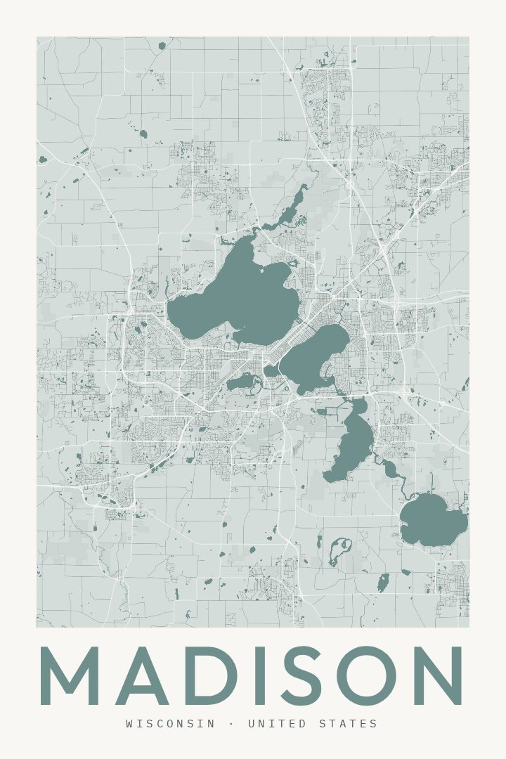
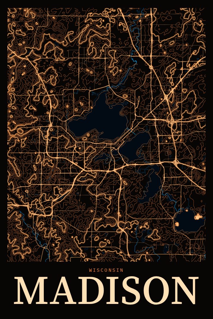
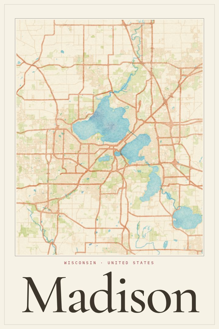
Madison in every style




You might also like
Related map posters




Part of a collection