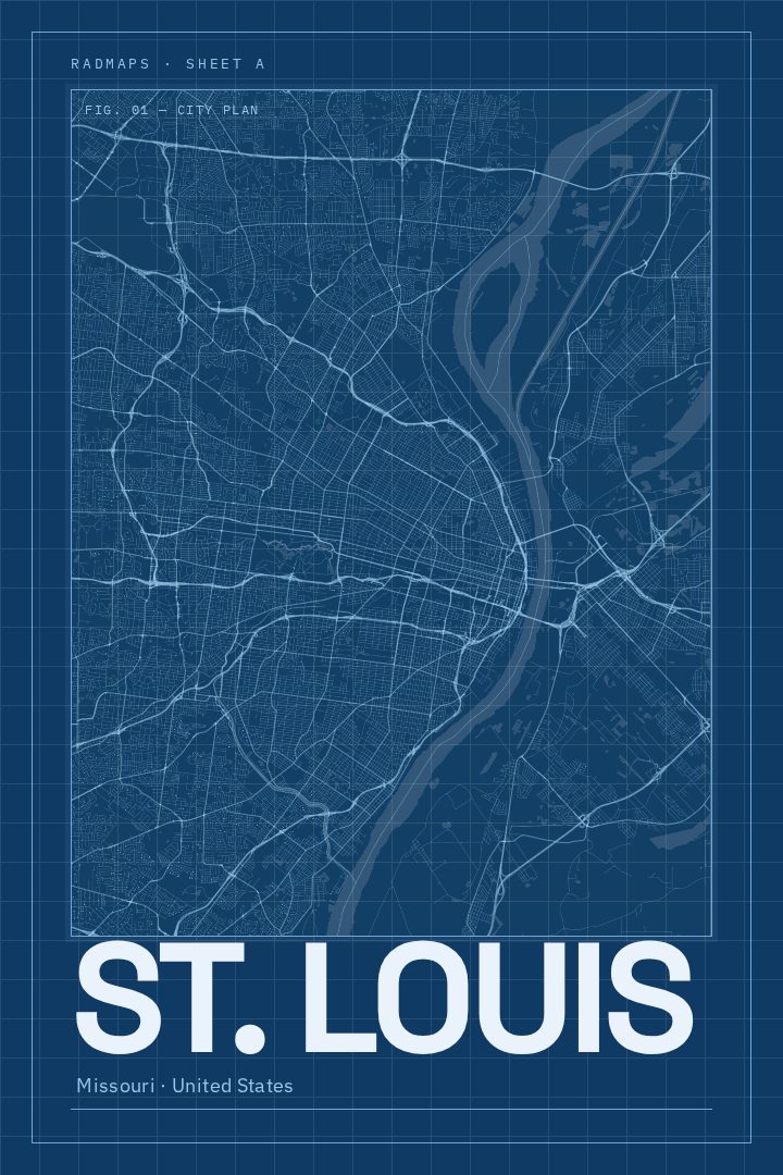
Shown at 16×24" · Archival Matte 250 gsm
St. Louis City Map Poster
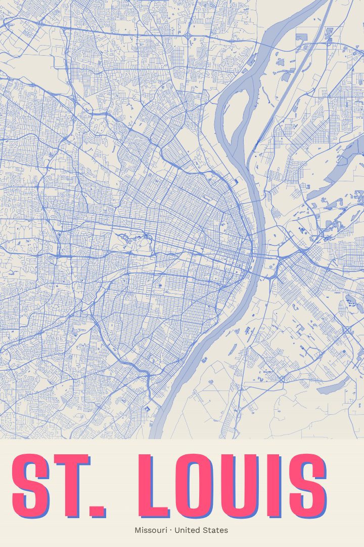
Blueprint
About this print
St. Louis map poster
St. Louis sits where the Missouri River meets the Mississippi, a river city that grew into one of the great crossroads of the American interior. This street map poster of St. Louis, Missouri, in the Blueprint style, gives that city a place on the wall for anyone who has lived there, grown up there, or simply left a piece of themselves along its riverfront and brick-lined blocks.
The city is known for the Gateway Arch rising over the Mississippi, for Forest Park and its museums and zoo, and for a long baseball tradition that runs deep in local life. Its neighborhoods carry their own character, from historic red-brick rowhouses to busy corridors of restaurants and music. A street map draws out the shape beneath all of that: the way the grid meets the bend of the river, how parks and boulevards break up the blocks, and how the whole city spreads westward from the water. For people who know St. Louis well, that pattern tends to be instantly familiar, and it often sparks conversation about favorite streets and old addresses.
The Blueprint edition is a visual design style with a clean, technical feel that suits homes and offices alike. It works as a housewarming gift, a reminder of a hometown, or a keepsake for someone who has moved away and misses the city. Like every RadMaps print, it is meant as decorative art rather than a navigation aid, a way to celebrate a place instead of finding a route through it. The available options are listed on this page.
Make a custom map poster of your own routeDid it yourself? Make a poster from your own Strava activity
Route details
- Location
- Missouri, United States
- Collection
- Cityscapes
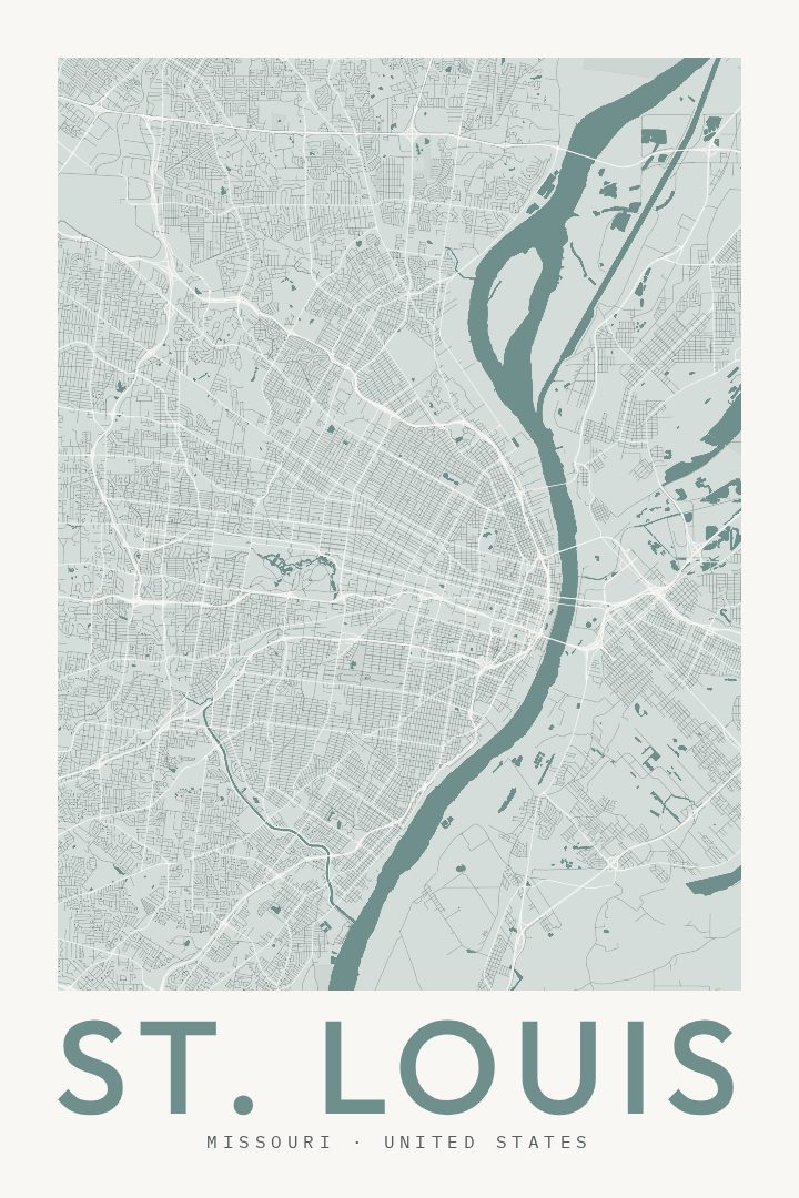
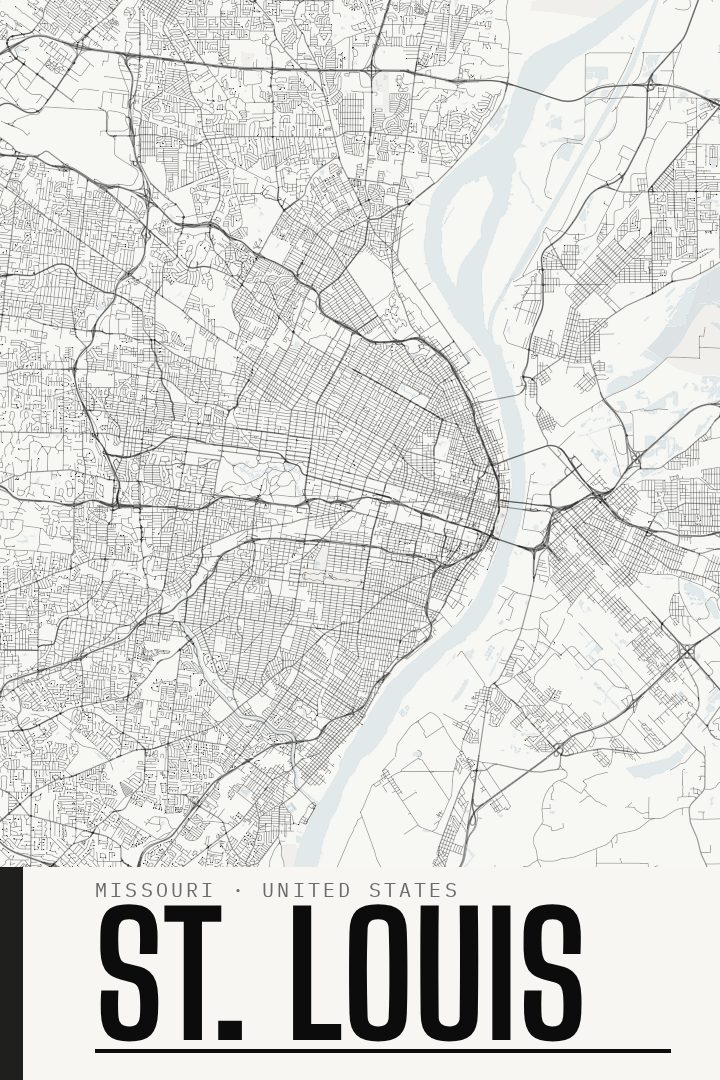
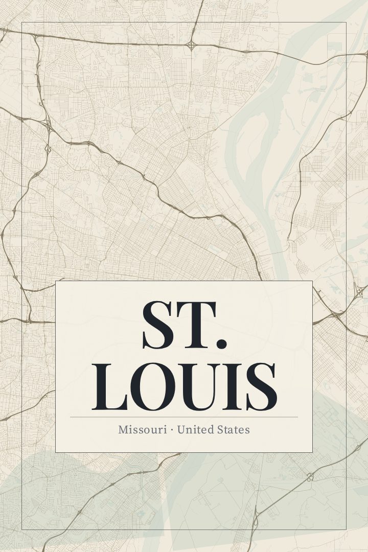
Same city, different style
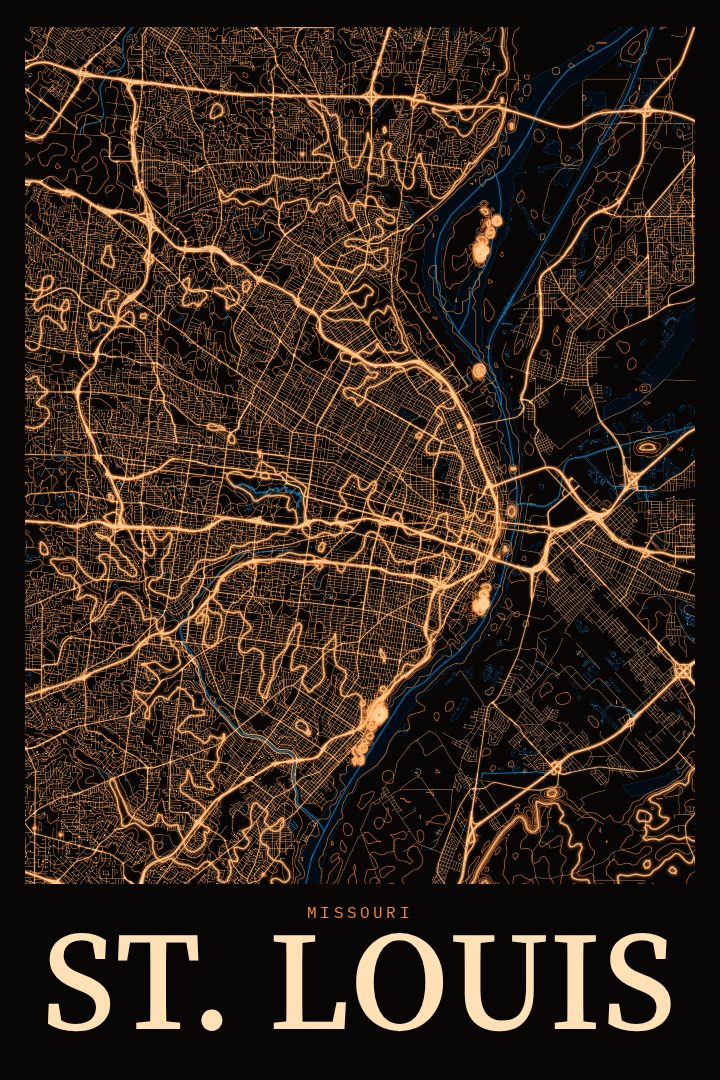
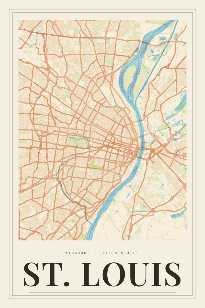
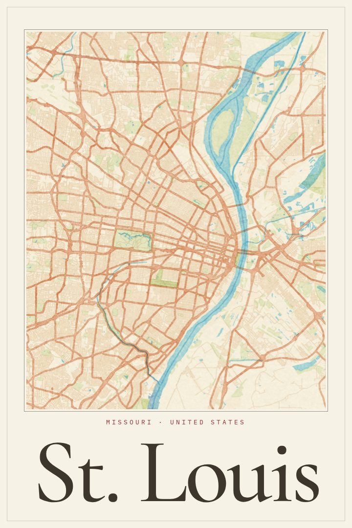
St. Louis in every style
You might also like
Related map posters




Part of a collection