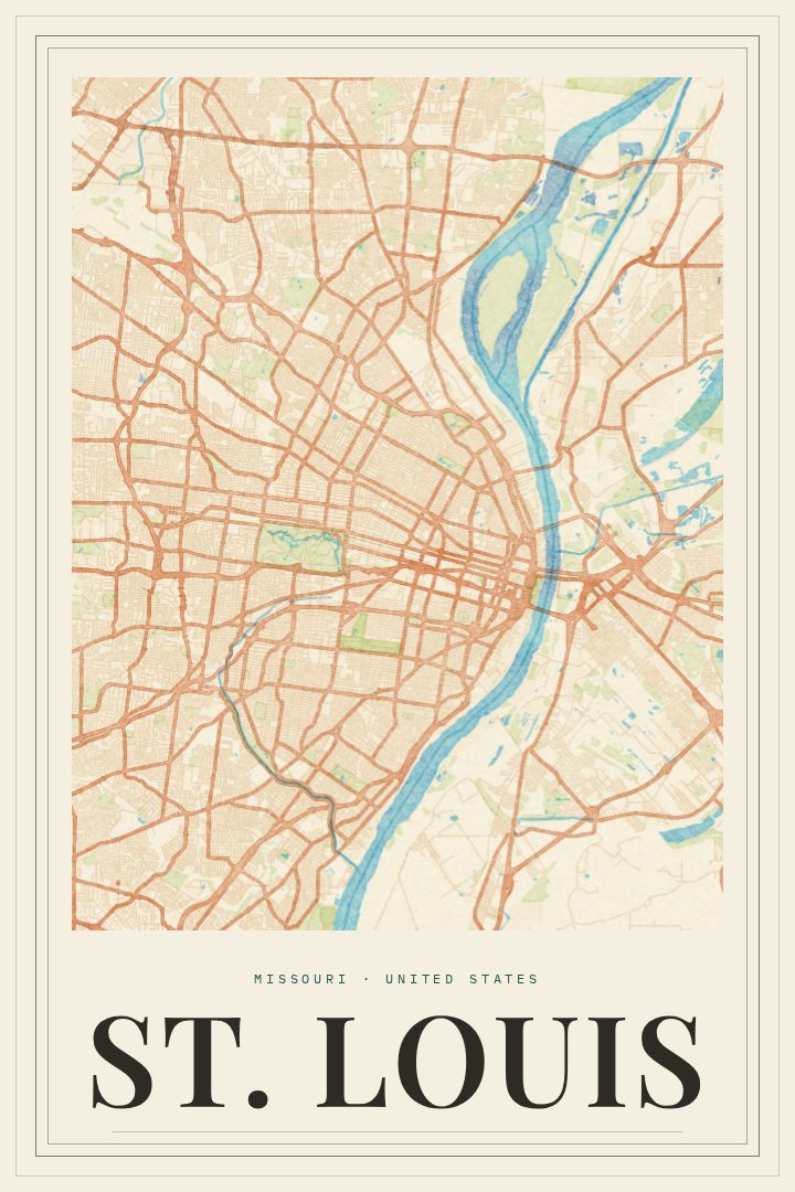
Shown at 16×24" · Archival Matte 250 gsm
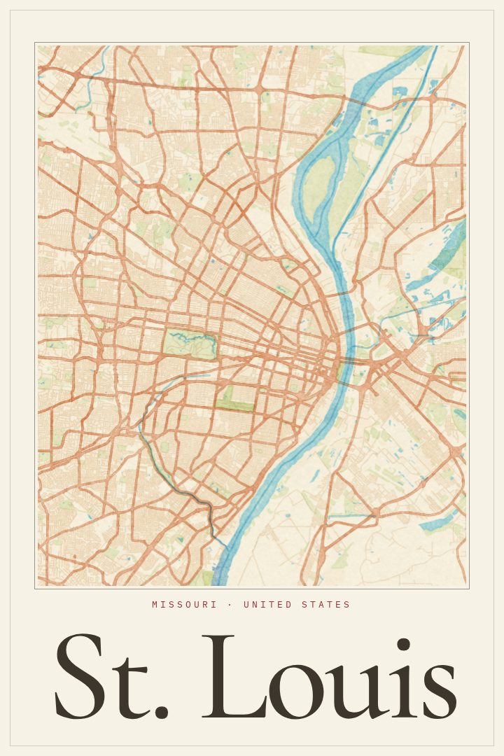
St. Louis City Map Poster
Painted Survey
About this print
St. Louis map poster
St. Louis grew up along the west bank of the Mississippi River, just below where the Missouri joins it, and the city still has the feel of a river town at heart. The Gateway Arch rises over the riverfront, brick rowhouses fill the older neighborhoods, and Forest Park spreads out to the west with its museums, zoo and long stretches of lawn. This print presents the St. Louis street map in the Painted Survey style, a look that pairs the careful order of a surveyor's map with soft, painterly color.
For people who grew up here, a map of the city tends to hold personal landmarks: the drive downtown for a ballgame, Sunday dinner on The Hill, a Saturday morning at Soulard Market, a first apartment in the Central West End or South City. Neighborhoods with very different characters sit side by side, and seeing the city as a whole can bring all of those memories back at once. It also suits anyone who moved away but still calls St. Louis home, or who spent a few good years there for school or work.
The Painted Survey edition is a visual design style with a relaxed, brushed look that sits easily in a living room, office or hallway. It is meant as wall art rather than a guide for getting around, and it makes a thoughtful gift for a housewarming, a graduation or a move to a new city. Available sizes and finishing options are listed on this page.
Make a custom map poster of your own routeDid it yourself? Make a poster from your own Strava activity
Route details
- Location
- Missouri, United States
- Collection
- Cityscapes
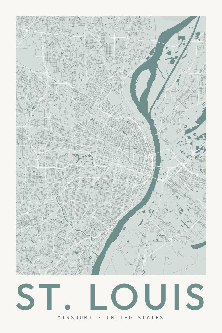
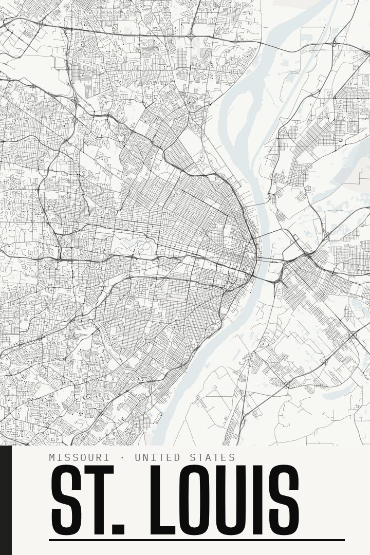
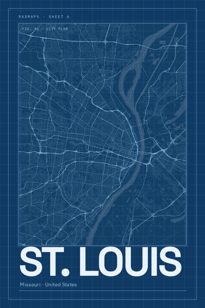
Same city, different style
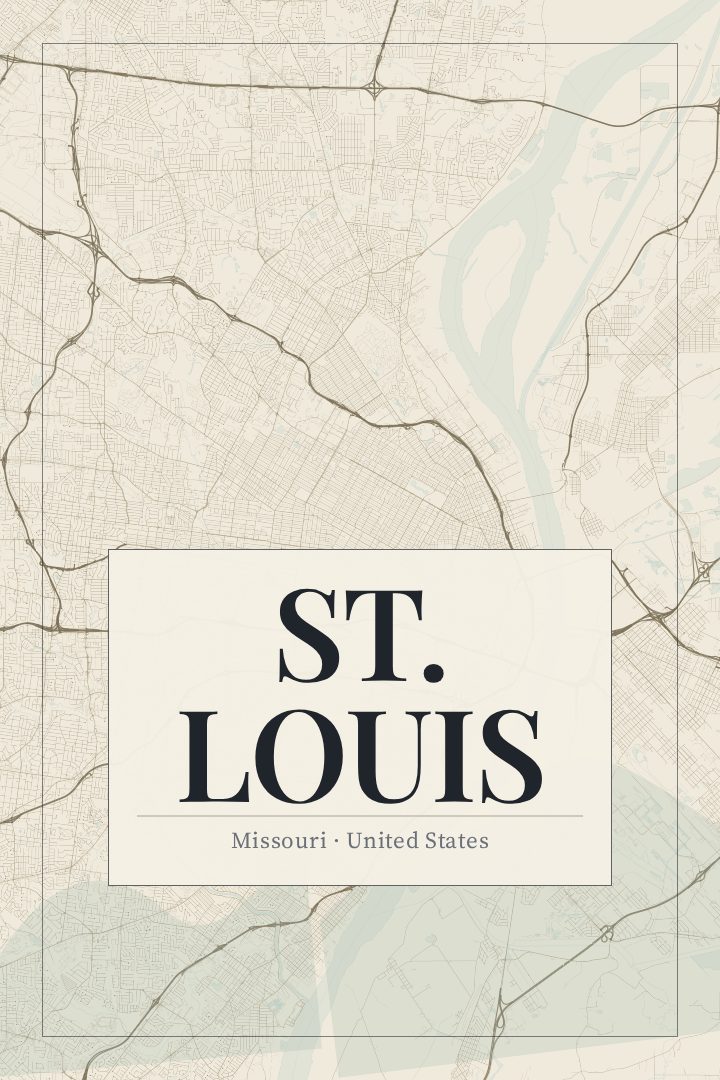
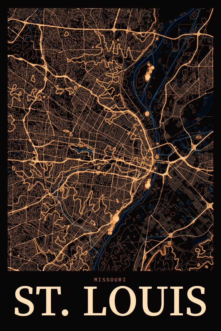
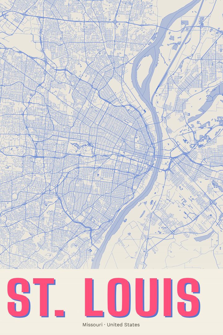
St. Louis in every style
You might also like
Related map posters




Part of a collection