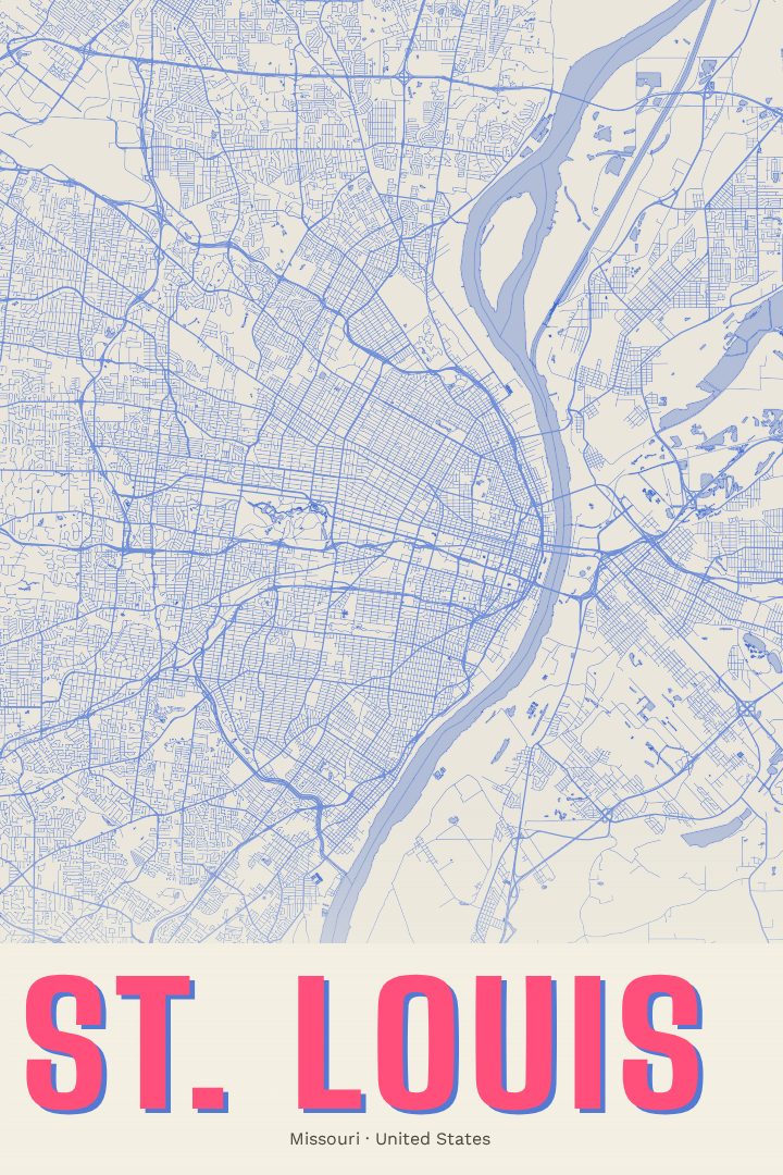
Shown at 16×24" · Archival Matte 250 gsm
St. Louis City Map Poster
Overprint
About this print
St. Louis map poster
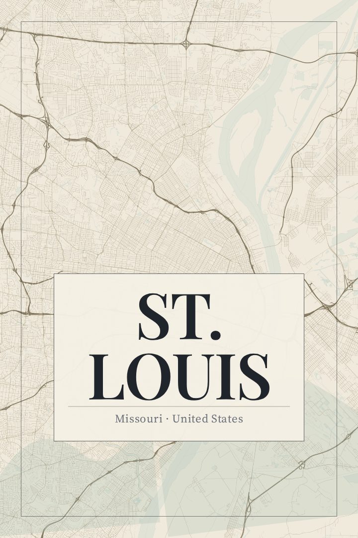
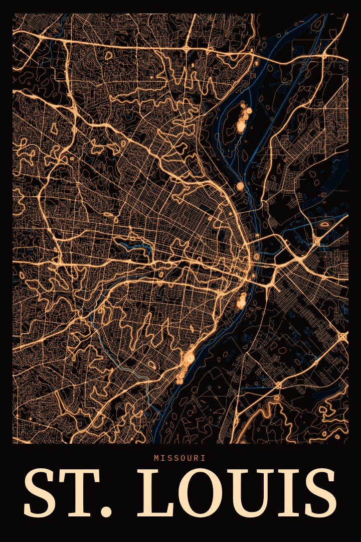
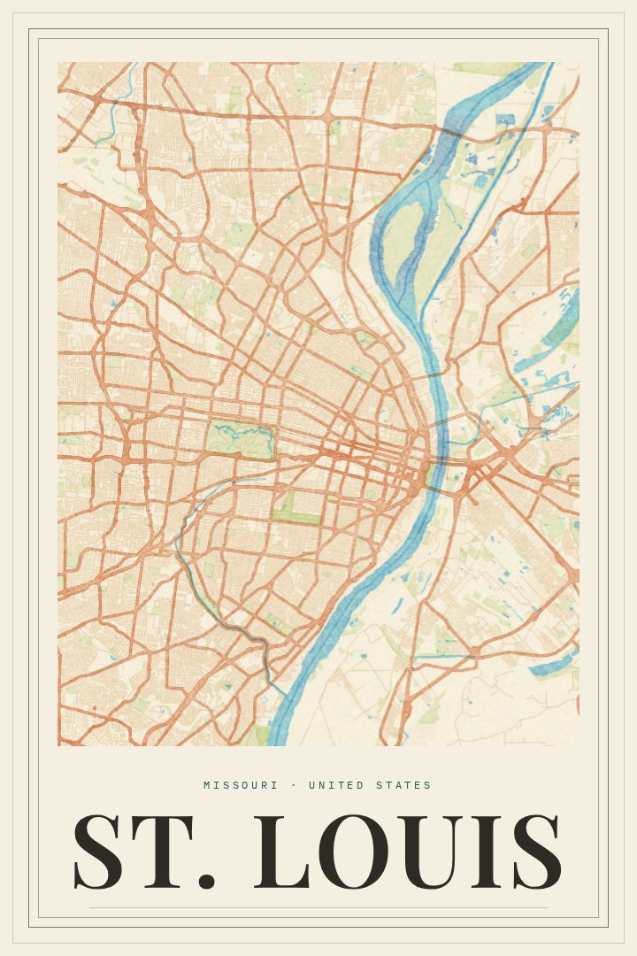
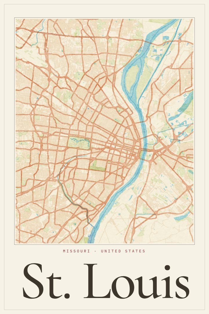
St. Louis grew up along the west bank of the Mississippi River, just below where the Missouri River joins it, and the city still carries that river-town character in the way its streets are laid out. This poster turns the St. Louis, Missouri street map into a piece of wall art in the Overprint style, a bold graphic look that treats the city's grid and its curves as shapes and color as much as information.
For anyone who knows the place, St. Louis is a city of distinct neighborhoods and long-held loyalties. There is the Gateway Arch on the riverfront, the wide green expanse of Forest Park, the brick rowhouses of Soulard, the Italian bakeries and restaurants of The Hill, and the stately blocks of the Central West End. People tend to describe where they live by neighborhood, or by the high school they went to, and a map of the whole city has a way of prompting those conversations. It suits someone who grew up here, someone who moved away and still roots for the Cardinals, or someone who just put down roots and wants a reminder of the new home.
The Overprint edition keeps things graphic and modern, so it sits comfortably in a living room, a home office, or a hallway gallery wall alongside photographs and other prints. It also makes a thoughtful gift for a housewarming, a graduation, or a move across the country. Like every RadMaps print, it is meant as decorative art rather than a guide for getting around, a way to keep a favorite city in view every day.
Make a custom map poster of your own routeDid it yourself? Make a poster from your own Strava activity
Route details
- Location
- Missouri, United States
- Collection
- Cityscapes
Same city, different style
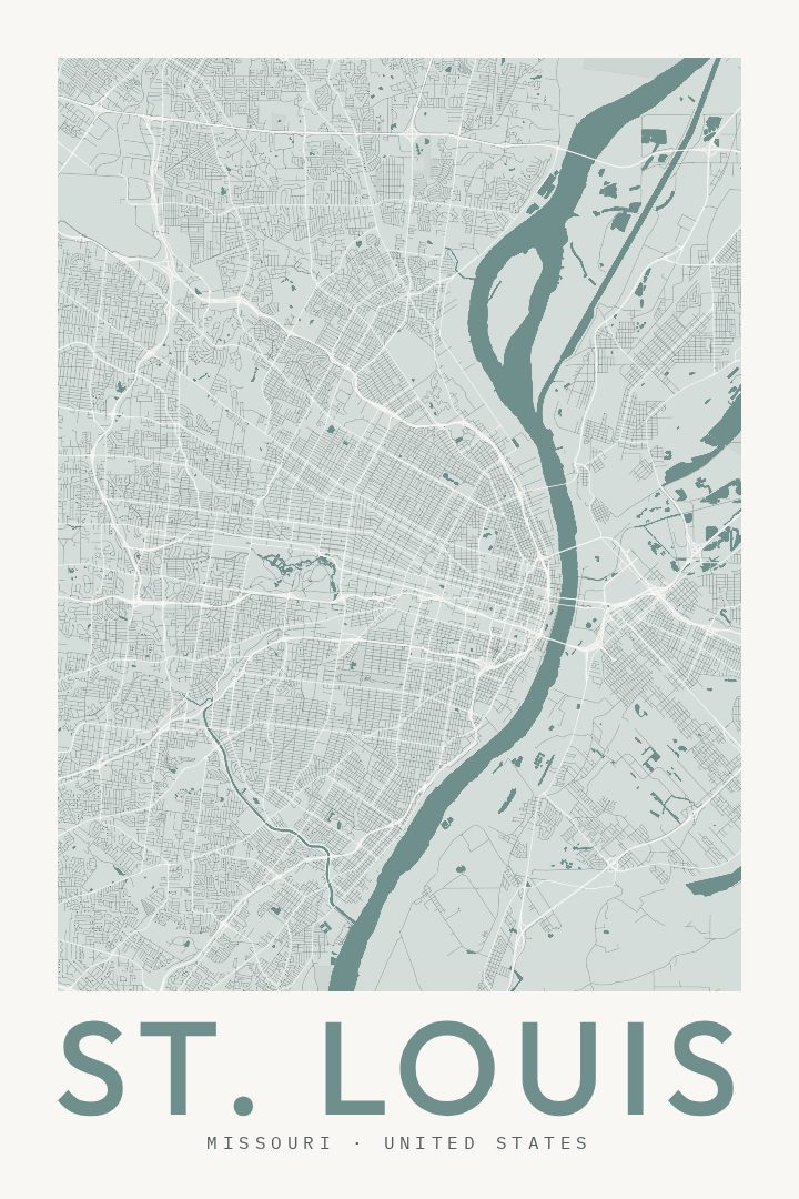
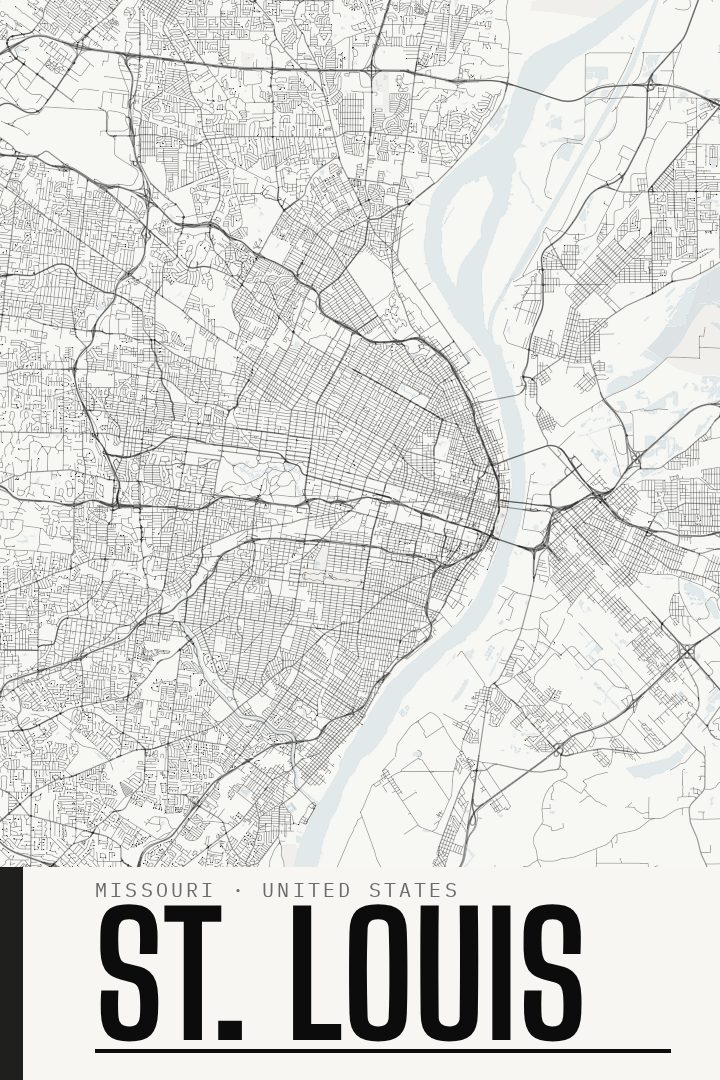
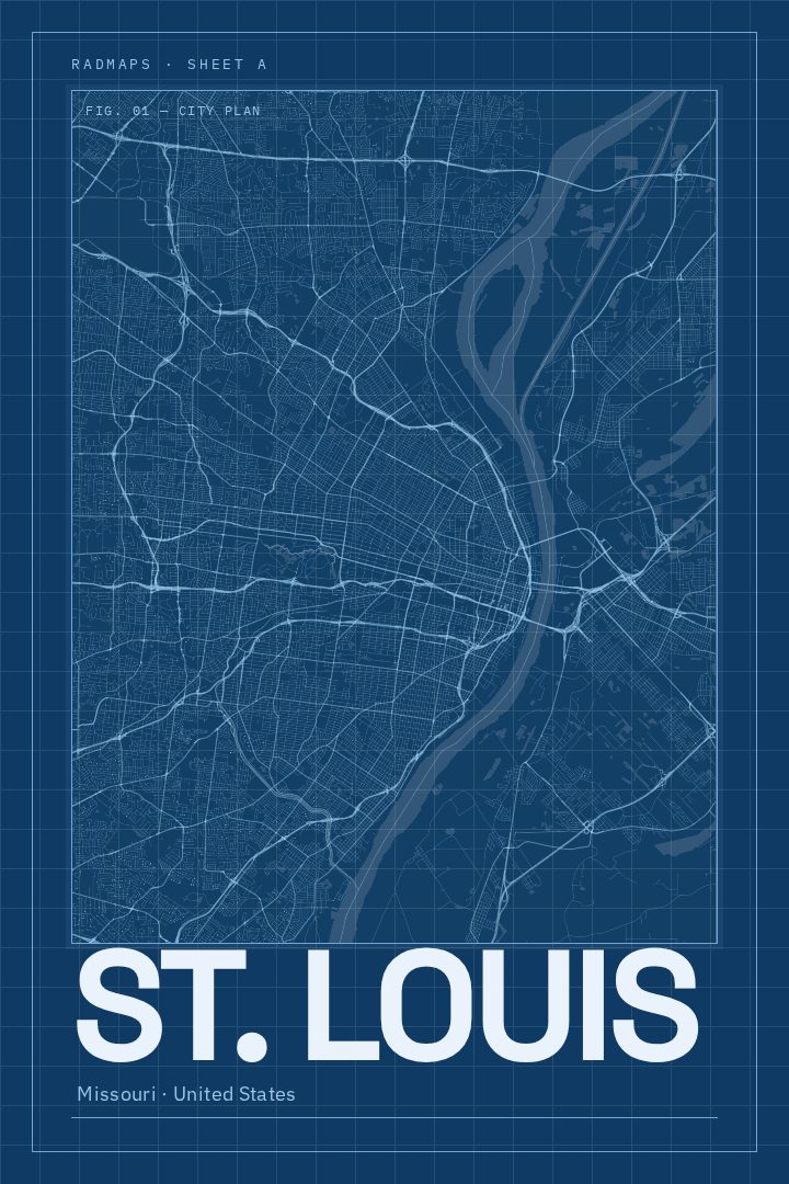
St. Louis in every style
You might also like
Related map posters




Part of a collection