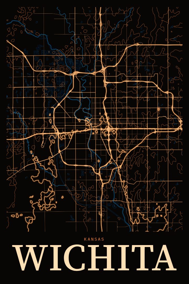
Shown at 16×24" · Archival Matte 250 gsm
Wichita City Map Poster
Neon Night
About this print
Wichita map poster
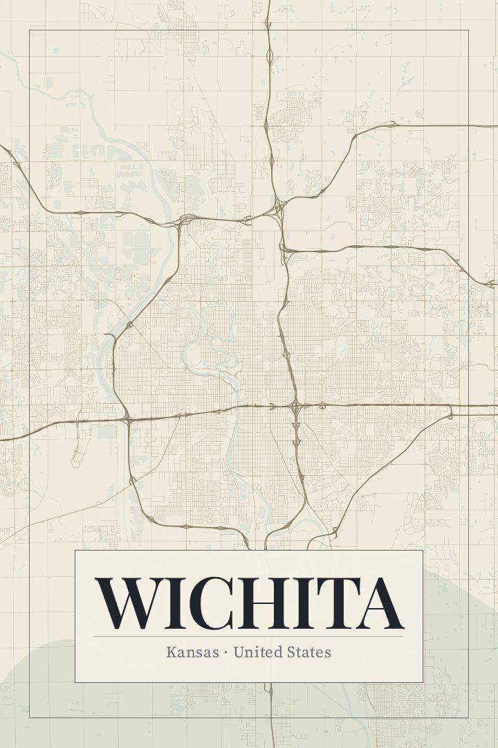
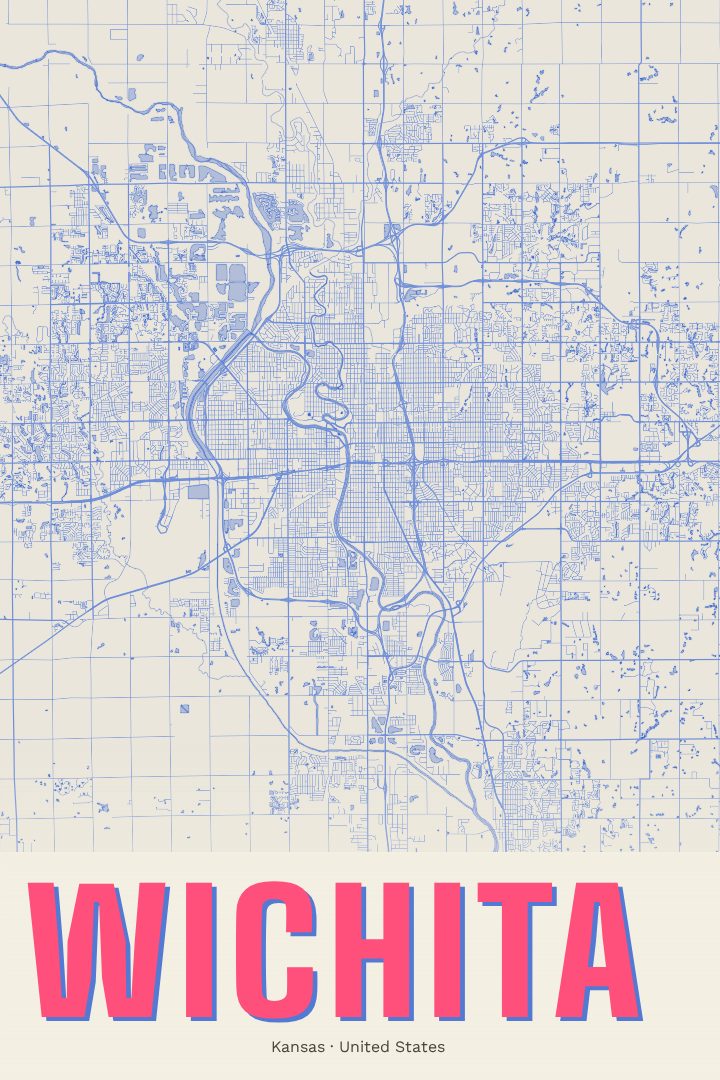
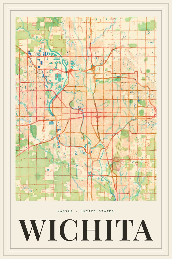
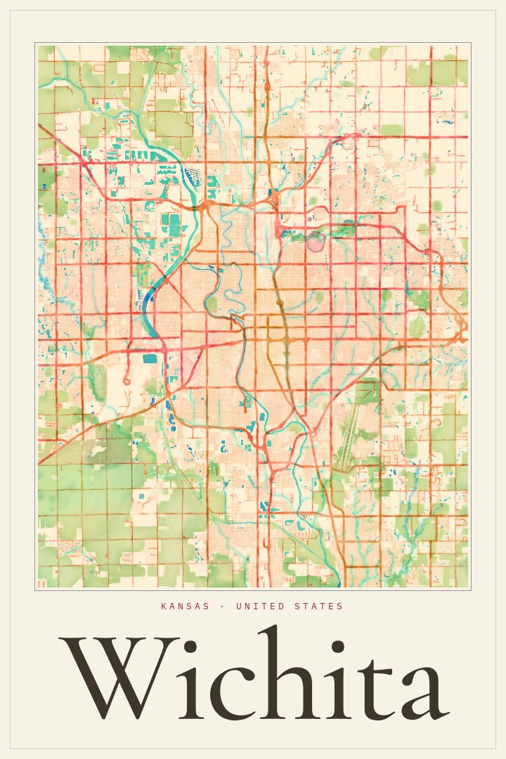
Wichita sits where the Arkansas and Little Arkansas rivers meet on the plains of south-central Kansas, and its street grid carries the story of a city that grew from a cattle-trail town into the largest city in the state. This poster maps Wichita's streets in the Neon Night style, a dark, glowing palette that turns a familiar grid into something closer to a city seen after sundown. It is meant for the wall, not the glovebox: a decorative print, not a tool for finding the way.
For many people, Wichita is tied to aviation, and the city's long connection to aircraft building has earned it the nickname Air Capital of the World. Others think first of the riverbanks, the Keeper of the Plains, Old Town's brick warehouses turned restaurants and music venues, or a quiet neighborhood where a first house, a college apartment, or a grandparent's porch once stood. A street map has a way of holding all of those versions at once, which is why it tends to mean the most to people who know the place from the inside.
The Neon Night edition suits a living room, an office, or a bedroom wall that could use a little evening atmosphere, and it pairs well with darker walls or modern furniture. It makes a thoughtful gift for someone who grew up in Wichita, recently moved there, or left and still talks about it. Whether it marks a hometown, a new beginning, or simply a city worth remembering, this print offers a calm, graphic way to keep Wichita close.
Make a custom map poster of your own routeDid it yourself? Make a poster from your own Strava activity
Route details
- Location
- Kansas, United States
- Collection
- Cityscapes
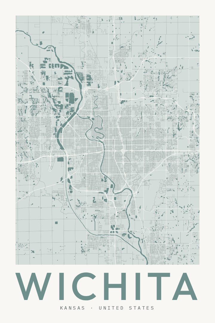
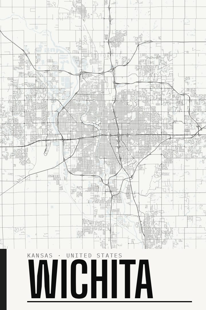
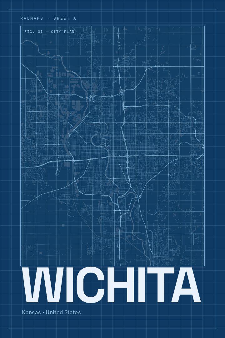
Same city, different style
Wichita in every style
You might also like
Related map posters




Part of a collection