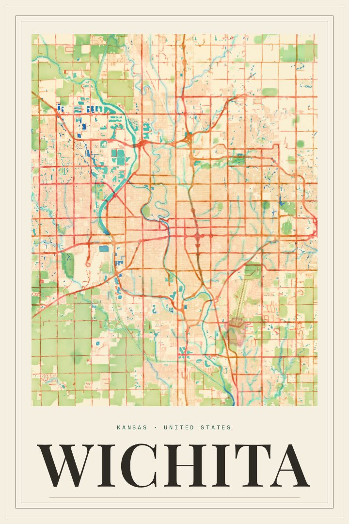
Shown at 16×24" · Archival Matte 250 gsm
Wichita City Map Poster
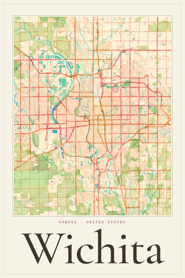
Painted Survey
About this print
Wichita map poster
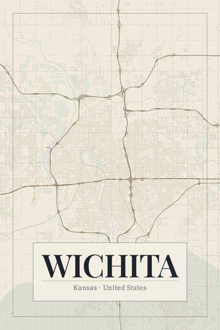
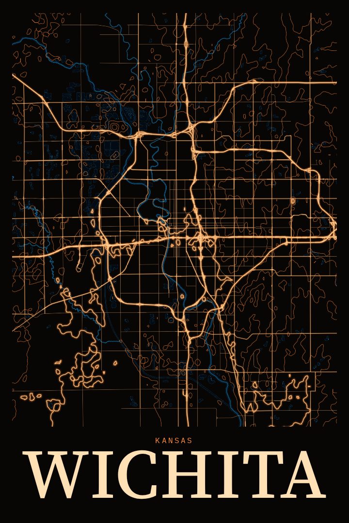
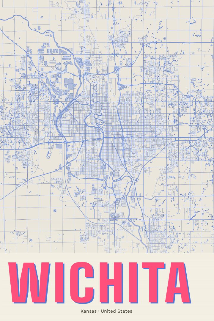
Wichita grew up where the Arkansas River meets the Little Arkansas, and the city still organizes itself around that confluence. This print maps Wichita as a street network: the long, steady grid of a prairie city, broken by the curve of the river and the neighborhoods that spread outward from downtown. For anyone who learned to drive on these roads, commuted across the river every morning, or simply knows the place as home, the shape of the city tends to be instantly familiar.
The Painted Survey edition treats the map as a piece of wall art rather than a reference document. It is a design style, so the result has the soft, layered feel of a painted surveyor's sheet while being produced digitally like every RadMaps print. It suits a living room, a hallway, or an office where a little local pride fits in, and it sits comfortably alongside photographs, other maps, or plain walls. As a decorative piece it is meant for looking at, not for finding the way to anywhere.
Wichita is often called the Air Capital of the World for its long history in aircraft manufacturing, and it is the largest city in Kansas. Those facts live in the background here. In the foreground is simply the city's layout, the kind of view that brings back particular corners, old apartments, favorite drives, and the river running through it all. It makes a thoughtful gift for someone who moved away from Wichita, someone who just arrived, or someone who never left.
Make a custom map poster of your own routeDid it yourself? Make a poster from your own Strava activity
Route details
- Location
- Kansas, United States
- Collection
- Cityscapes
Same city, different style
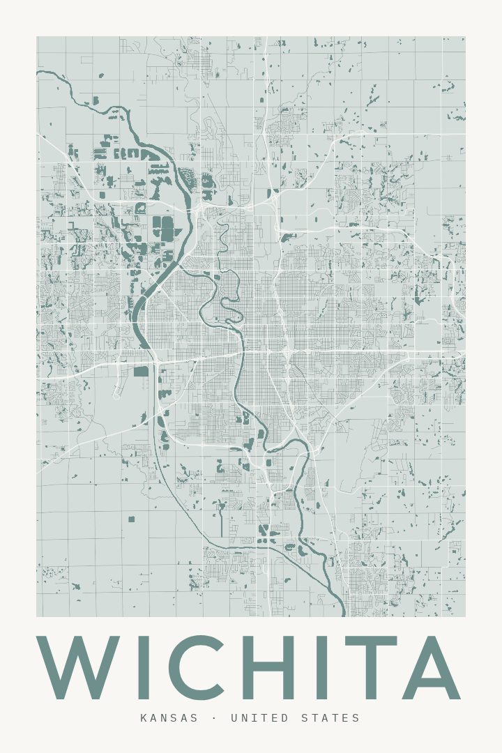
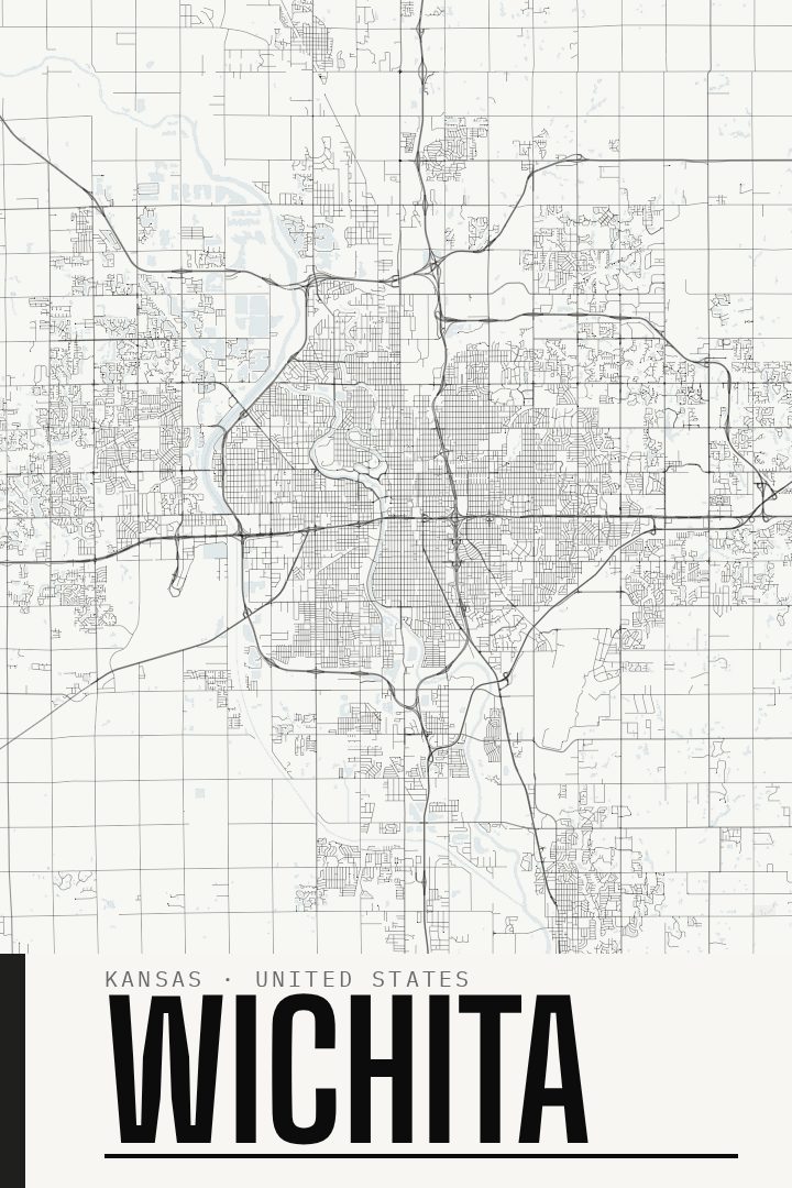
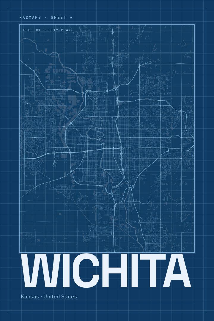
Wichita in every style
You might also like
Related map posters




Part of a collection