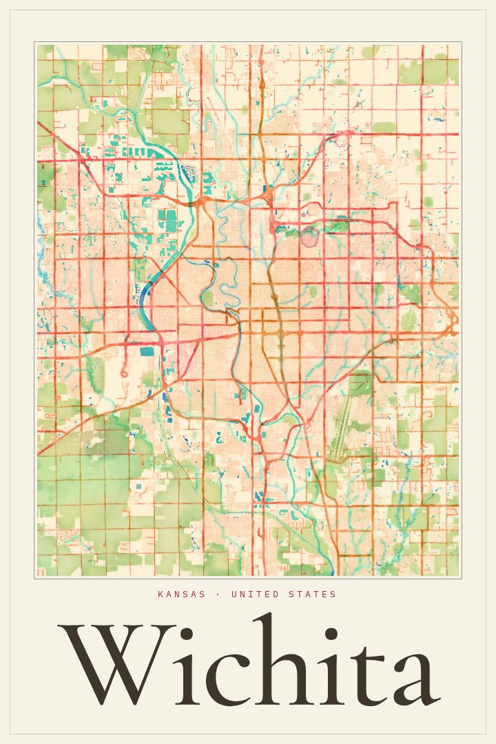
Shown at 16×24" · Archival Matte 250 gsm
Wichita City Map Poster
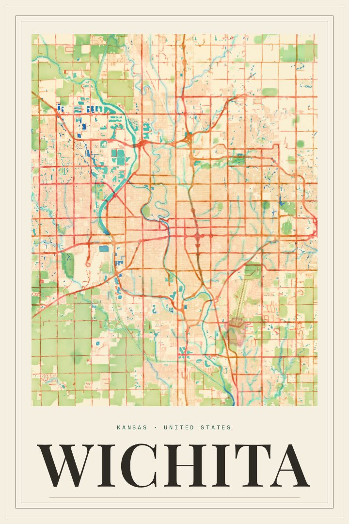
Watercolor
About this print
Wichita map poster
Wichita is a city shaped by its rivers and its work. The Arkansas River runs through the heart of town, meeting the Little Arkansas near the Keeper of the Plains, the steel sculpture that has become one of the city's best-known sights. Wichita's long history in aircraft manufacturing earned it the nickname Air Capital of the World, and that mix of prairie roots and industry still gives the place its character. As the largest city in Kansas, it holds a lot of personal geography for the people who grew up there, moved there, or left and still call it home.
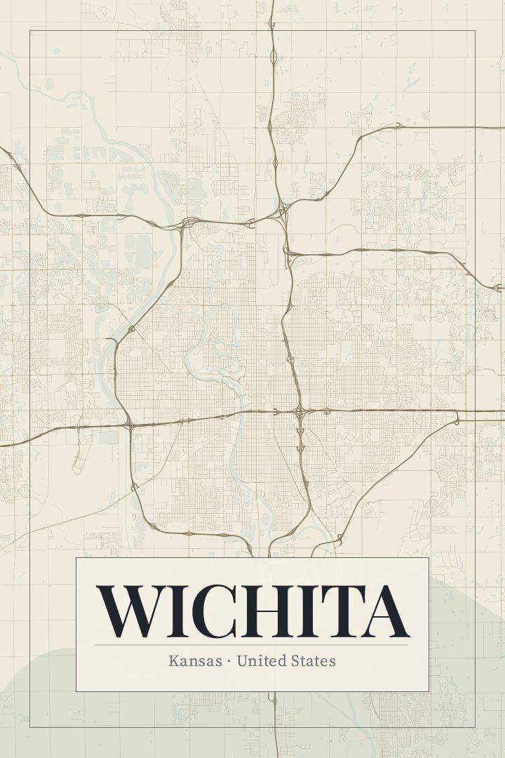
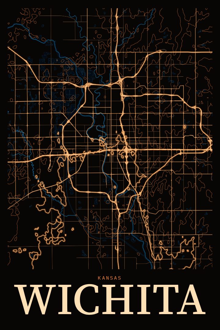
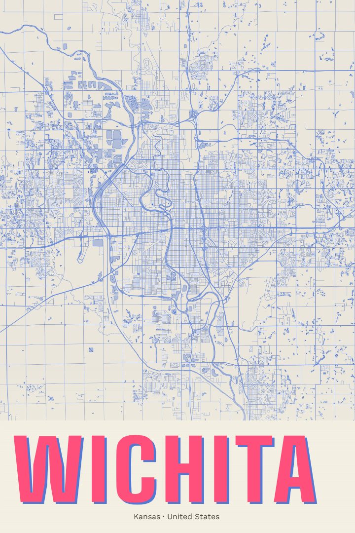
This poster maps Wichita's streets in the Watercolor style, a digital design with soft, blended color and a painterly feel. The look is gentle rather than technical, so the city's layout reads more like a keepsake than a chart. It sits easily in a living room, a hallway, or a home office, and it pairs well with other prints for anyone who likes to collect the places that matter to them.
A Wichita map can mark a first apartment, a family home, a college stretch at one of the city's schools, or simply a lifelong attachment to south-central Kansas. It also makes a thoughtful gift for someone heading off to a new city who wants a reminder of where they started. The poster is meant as decorative art for the wall, not as a guide for getting around. Available options are listed on this page.
Make a custom map poster of your own routeDid it yourself? Make a poster from your own Strava activity
Route details
- Location
- Kansas, United States
- Collection
- Cityscapes
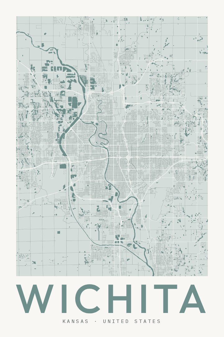
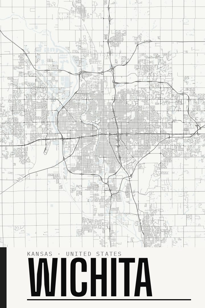
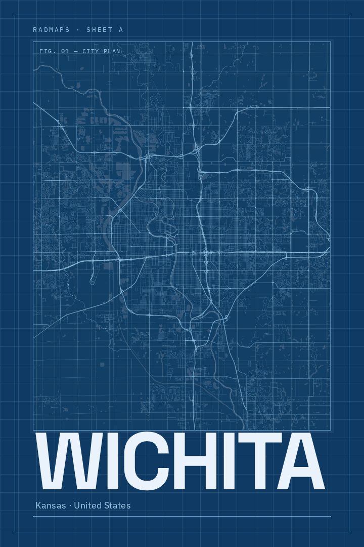
Same city, different style
Wichita in every style
You might also like
Related map posters




Part of a collection