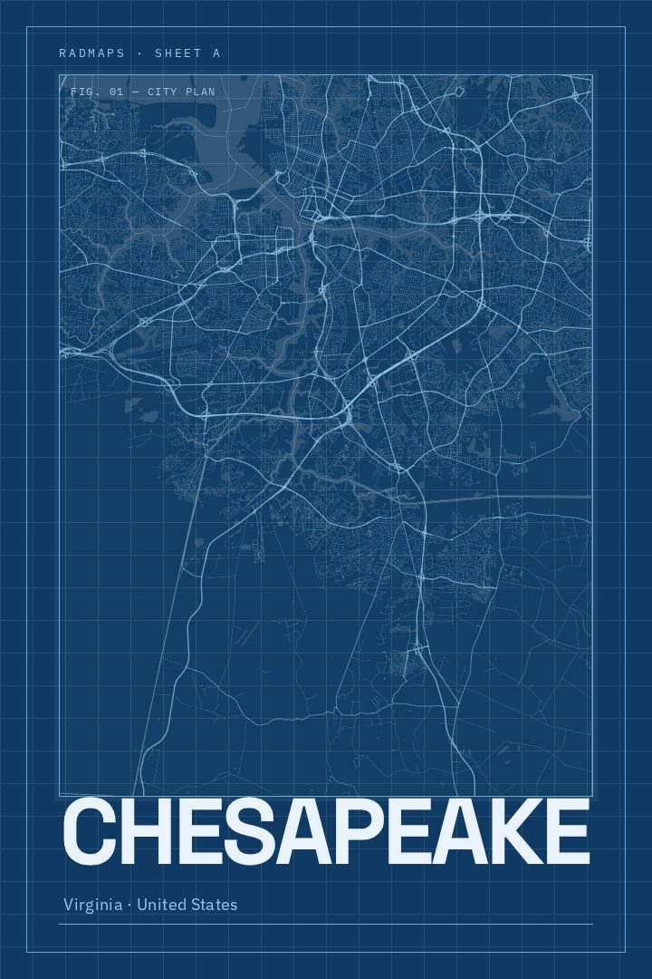
Shown at 16×24" · Archival Matte 250 gsm
Chesapeake City Map Poster
Blueprint
About this print
Chesapeake map poster
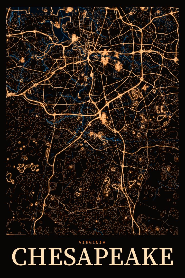
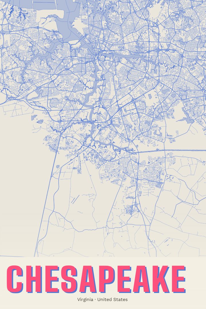
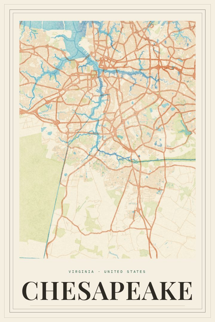
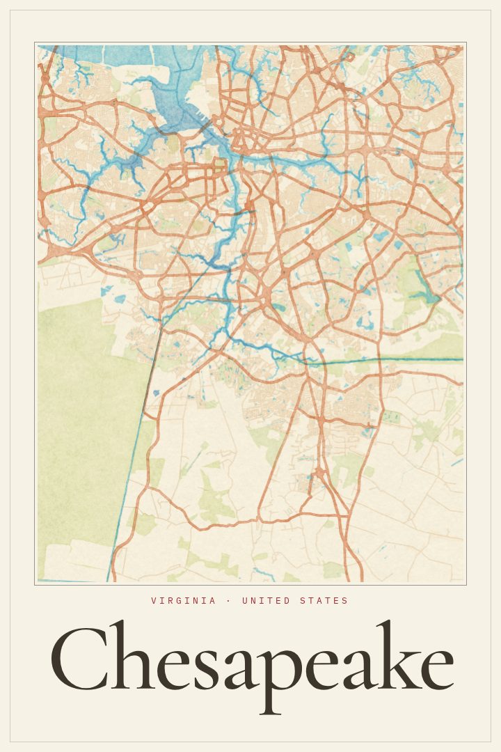
Chesapeake is a city of contrasts in southeastern Virginia. It is part of Hampton Roads, alongside Norfolk, Virginia Beach and Portsmouth, yet much of its land still feels open. Neighborhoods like Great Bridge, Greenbrier and Deep Creek grew up around waterways and crossroads, and farm fields and woodland stretch toward the North Carolina line. Branches of the Elizabeth River wind through the city, the Intracoastal Waterway carries boats past its locks and bridges, and part of the Great Dismal Swamp reaches into its southwestern edge. Few cities in the region hold that much water, wetland and quiet country inside their limits.
This print renders Chesapeake as a street map in the Blueprint style, a clean, technical look that suits a place shaped by canals, causeways and careful planning around low, wet ground. The design keeps things graphic and uncluttered, so the city's pattern of roads and rivers reads as a composed piece of wall art rather than a busy reference sheet. It sits comfortably in a home office, a hallway or a living room, and pairs well with other cityscape prints for anyone building a wall of places that matter to them.
It makes a thoughtful gift for someone who grew up in Chesapeake, recently bought a house there, or moved away and misses it. Military families who spent a posting in Hampton Roads often keep a reminder of the area, and this is a quieter alternative to a postcard or souvenir. Like every RadMaps poster, it is meant as decorative art to enjoy on the wall, not as a map for finding a way around town.
Make a custom map poster of your own routeDid it yourself? Make a poster from your own Strava activity
Route details
- Location
- Virginia, United States
- Collection
- Cityscapes
Same city, different style
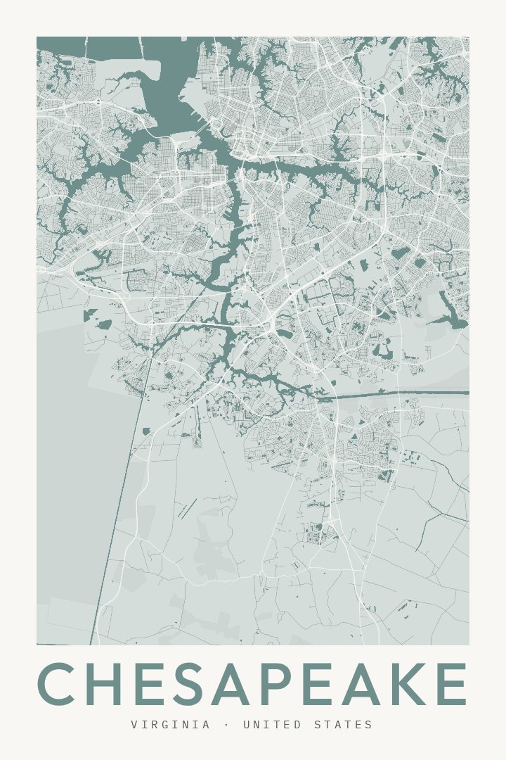
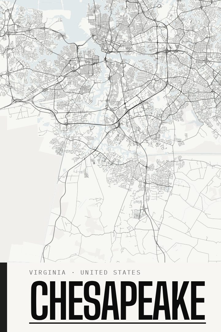
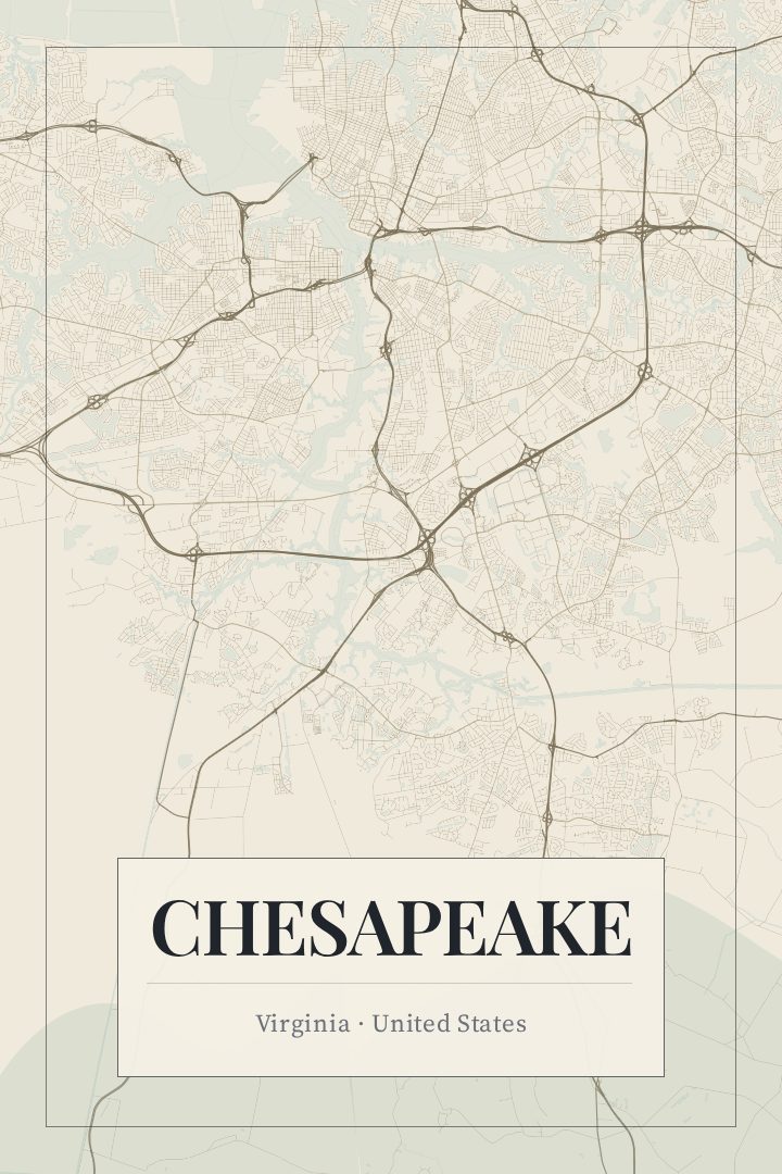
Chesapeake in every style
You might also like
Related map posters




Part of a collection