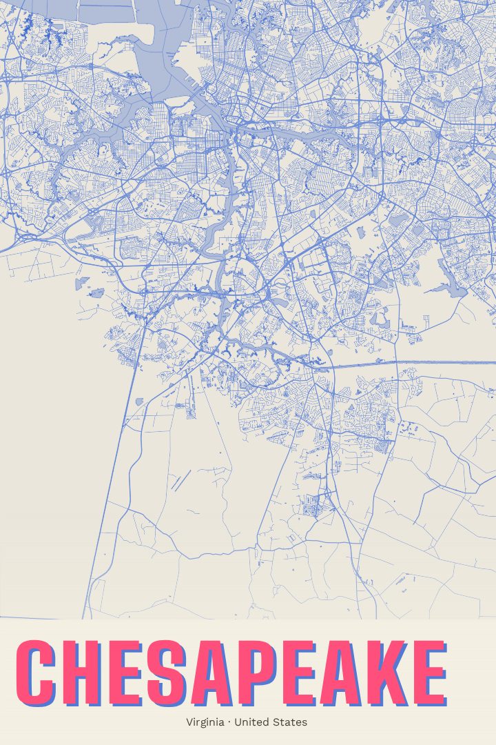
Shown at 16×24" · Archival Matte 250 gsm
Chesapeake City Map Poster
Overprint
About this print
Chesapeake map poster
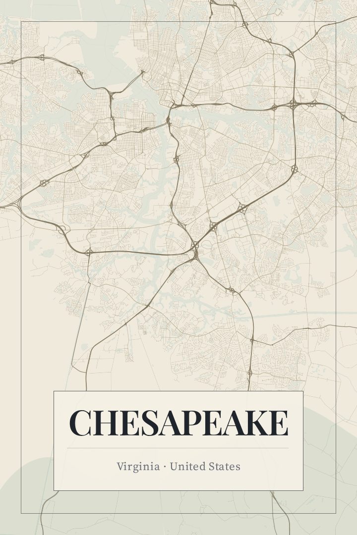
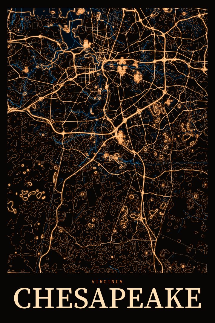
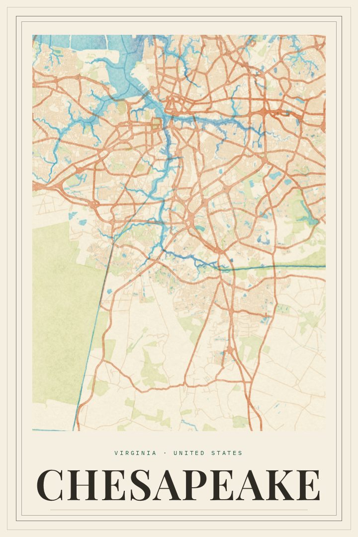
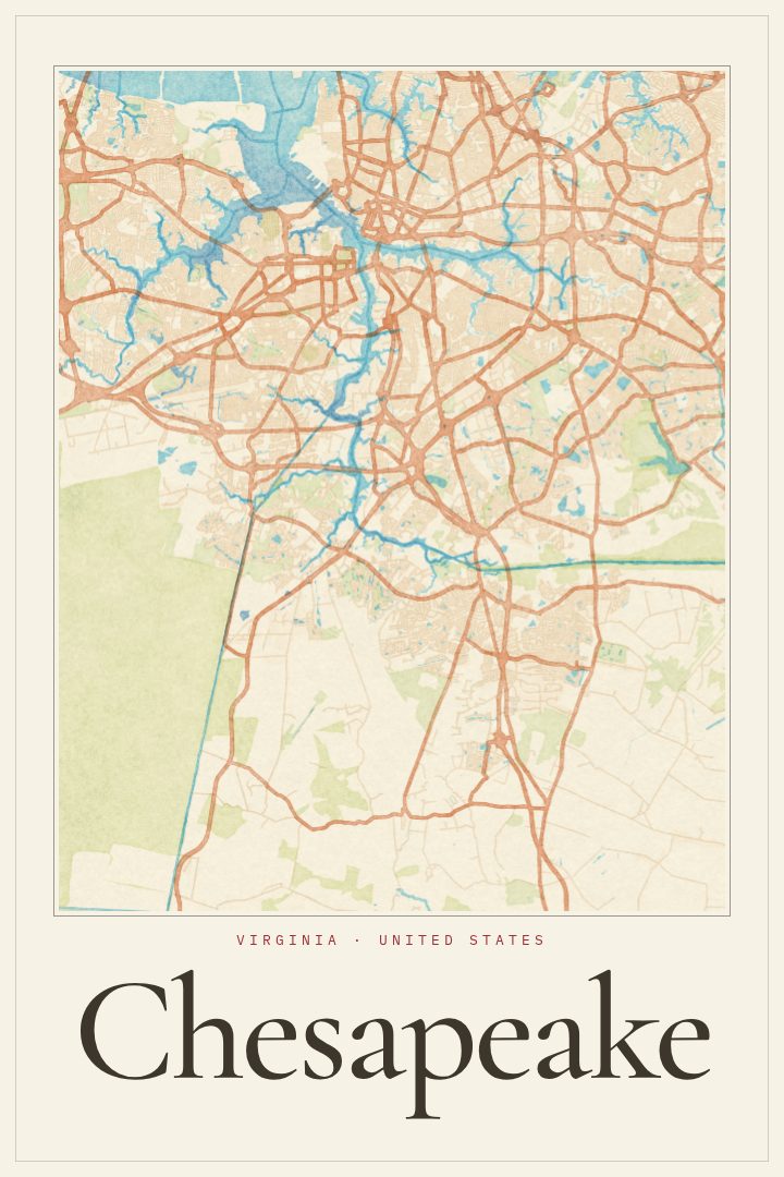
Chesapeake is a city that doesn't fit neatly into one picture. It sits in the Hampton Roads region of southeastern Virginia, where suburban neighborhoods give way to farmland, waterways, and the edge of the Great Dismal Swamp. The branches of the Elizabeth River wind through it, and the Dismal Swamp Canal, part of the Intracoastal Waterway, cuts a long line toward North Carolina. It's the kind of place where a short drive can take someone from a busy shopping corridor to quiet country roads and marsh.
This street map poster in the Overprint style turns that sprawling, watery layout into something to hang on a wall. City maps tend to work as art because they hold so much personal history in a single shape: the route to a first job, the neighborhood where a family settled, the roads taken to practices, games, and holidays. For anyone who grew up in Chesapeake, moved there for work or the military, or left and still thinks of it as home, the grid of streets can say more than a photograph.
The Overprint edition is a visual design style that gives the map a bold, graphic character suited to a living room, office, or hallway. It's meant as decorative art rather than a guide for getting around. It also makes a thoughtful gift for a housewarming, a move away from Hampton Roads, or a return to it. The size and finish options are listed on this page.
Make a custom map poster of your own routeDid it yourself? Make a poster from your own Strava activity
Route details
- Location
- Virginia, United States
- Collection
- Cityscapes
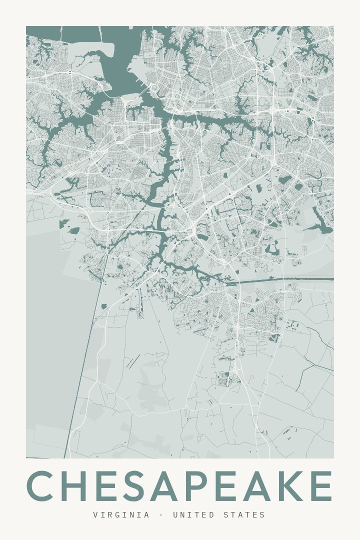
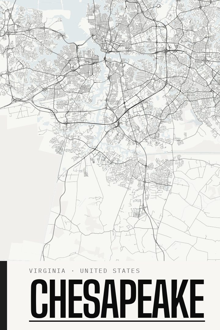
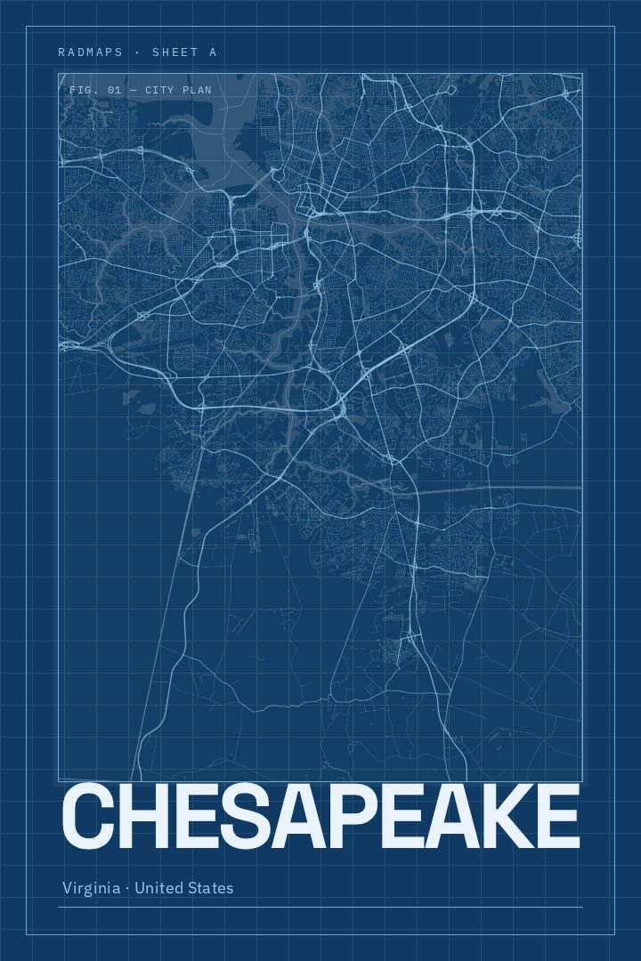
Same city, different style
Chesapeake in every style
You might also like
Related map posters




Part of a collection