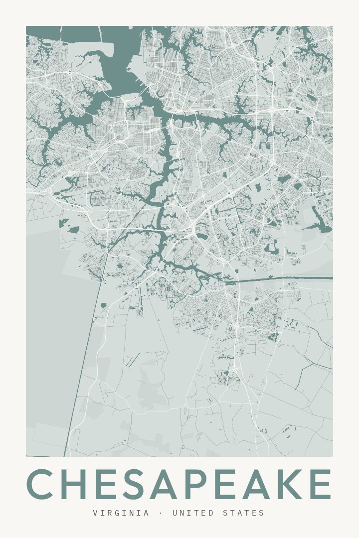
Shown at 16×24" · Archival Matte 250 gsm
Chesapeake City Map Poster
Classic
About this print
Chesapeake map poster
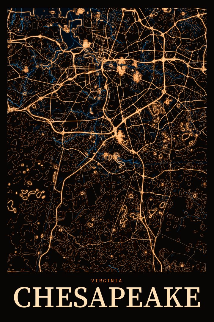
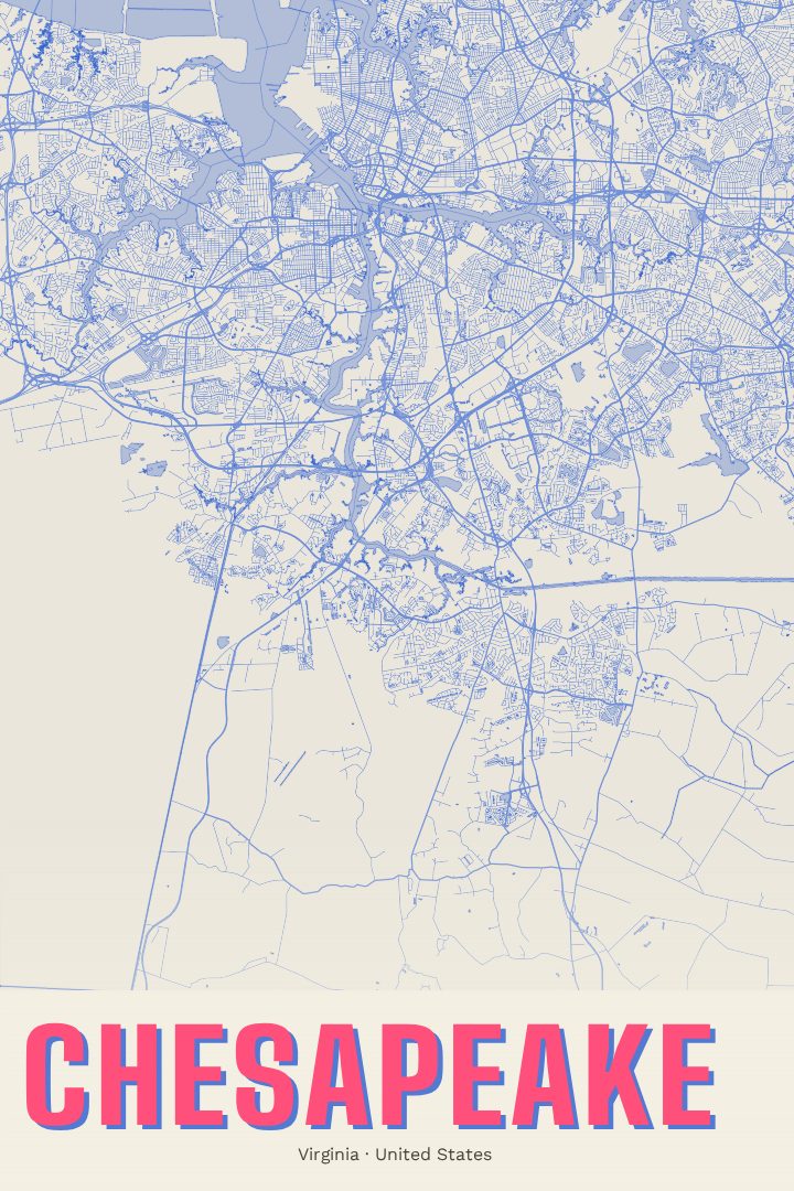
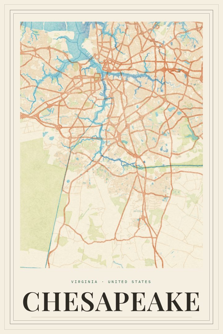
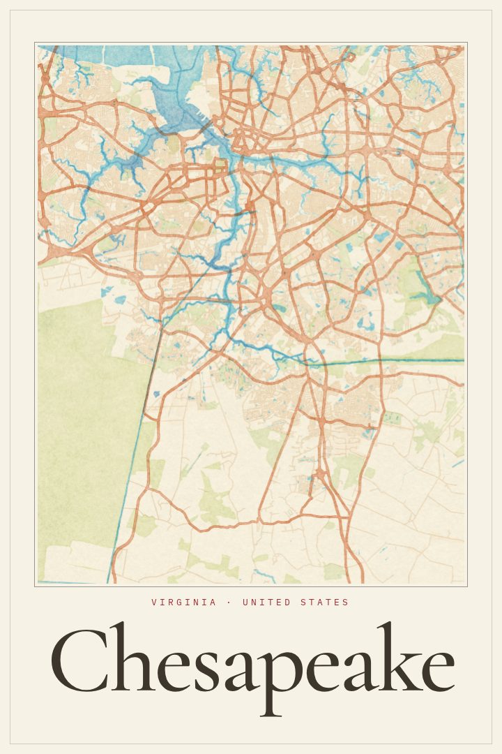
Chesapeake is a city that rewards people who know it well. It sits in the Hampton Roads region of southeastern Virginia, close to Norfolk, Portsmouth, and Virginia Beach, yet it has a character all its own. Neighborhoods and shopping corridors give way to farmland, wooded stretches, and waterways, and the city reaches south toward the North Carolina line. For anyone who grew up here, moved here for work, or spent years driving its long roads between home and the rest of Hampton Roads, a map of Chesapeake carries a lot of quiet meaning.
Water shapes much of the place. Branches of the Elizabeth River wind through the northern part of the city, and the Atlantic Intracoastal Waterway passes through on its way south. Part of the Great Dismal Swamp lies within Chesapeake's borders, a reminder of how much open, green country remains alongside the suburbs. That mix of settled streets and wild edges is a large part of what makes the city feel distinct from its neighbors.
This print presents Chesapeake as a street map in the Classic style, a design approach suited to rooms where a calm, timeless piece fits better than something loud. It works as a housewarming gift for someone who just bought a home in the city, a keepsake for a person who has moved away, or a simple way to mark the place where a family put down roots. Like every RadMaps poster, it is meant as decorative art for the wall rather than a tool for finding the way, a reminder of a home city instead of a guide to it.
Make a custom map poster of your own routeDid it yourself? Make a poster from your own Strava activity
Route details
- Location
- Virginia, United States
- Collection
- Cityscapes
Same city, different style
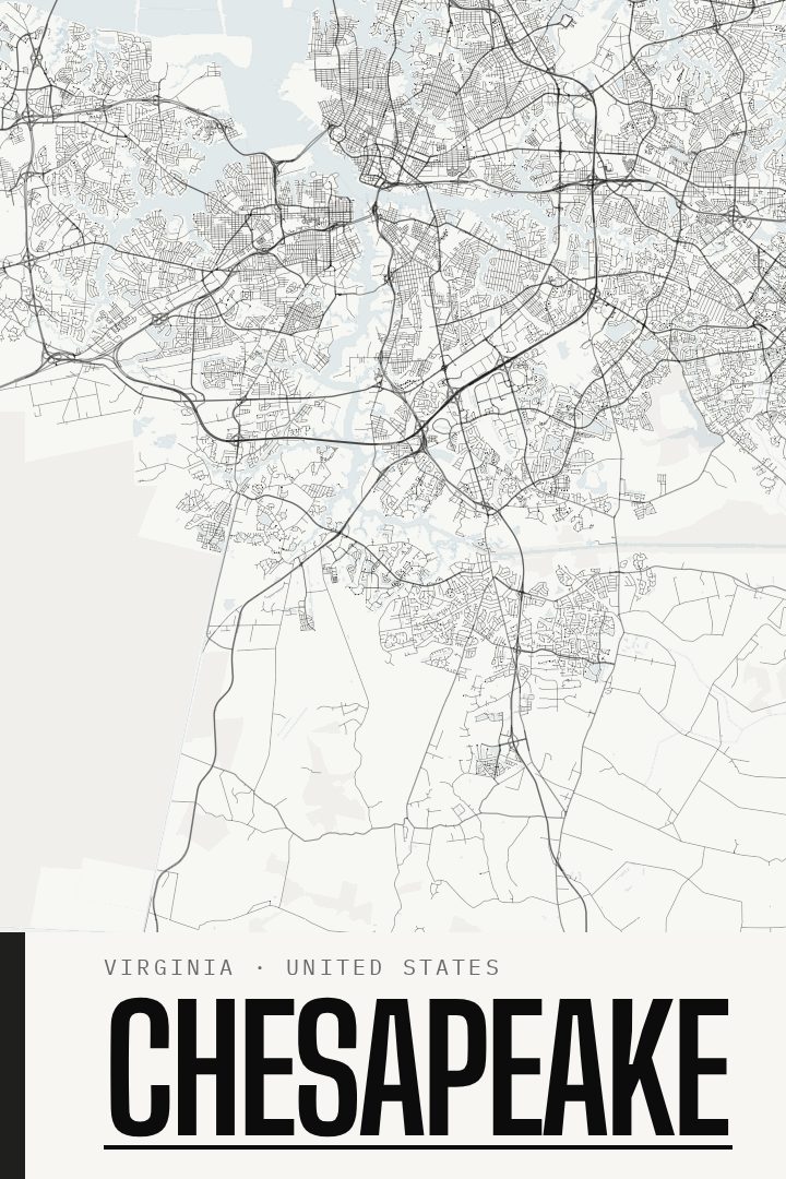
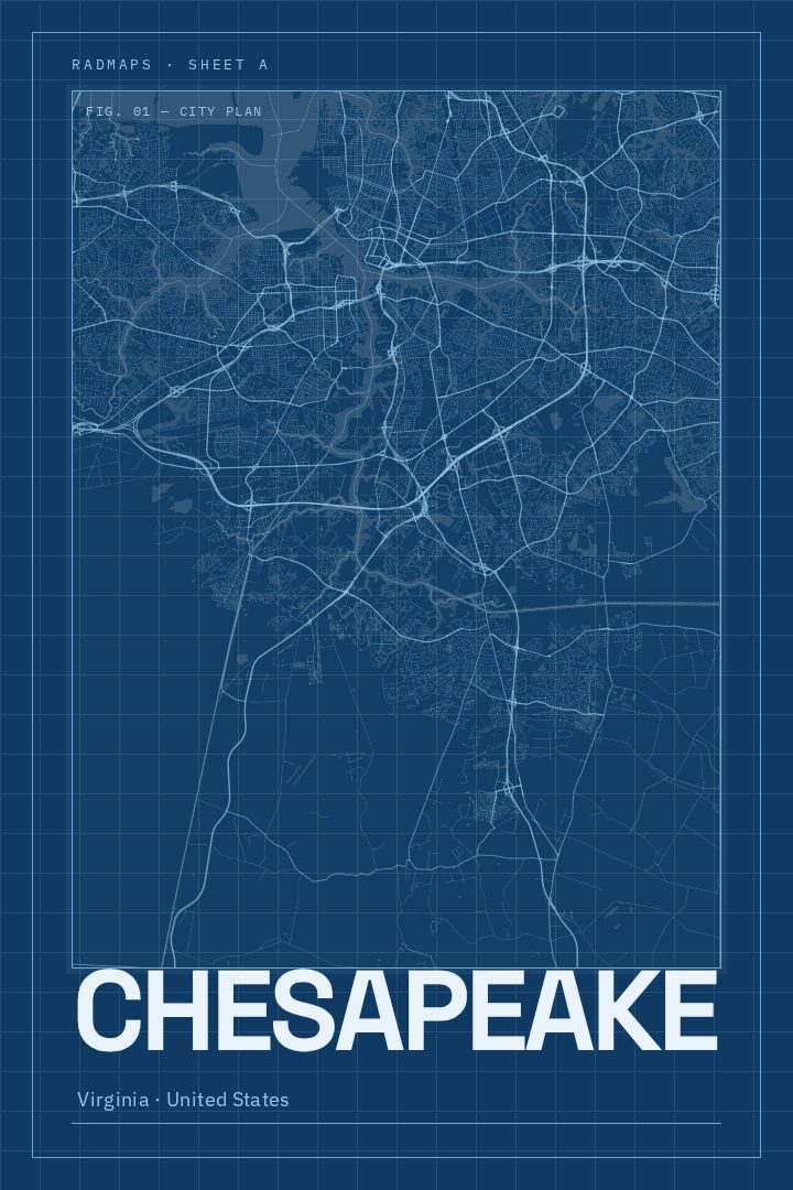
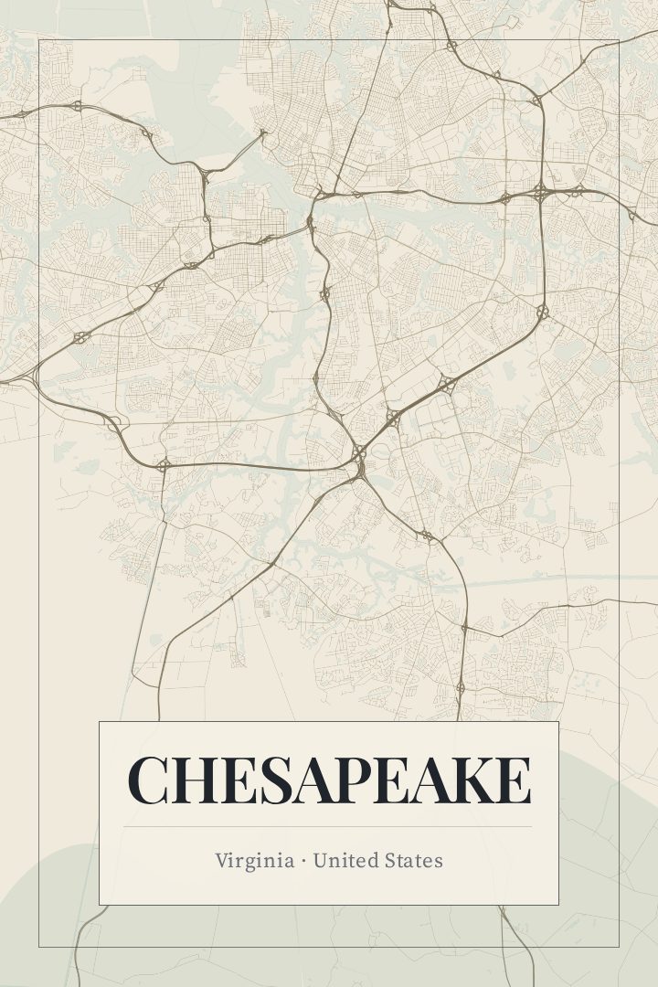
Chesapeake in every style
You might also like
Related map posters




Part of a collection