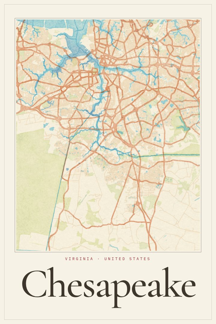
Shown at 16×24" · Archival Matte 250 gsm
Chesapeake City Map Poster
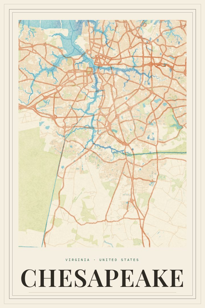
Watercolor
About this print
Chesapeake map poster
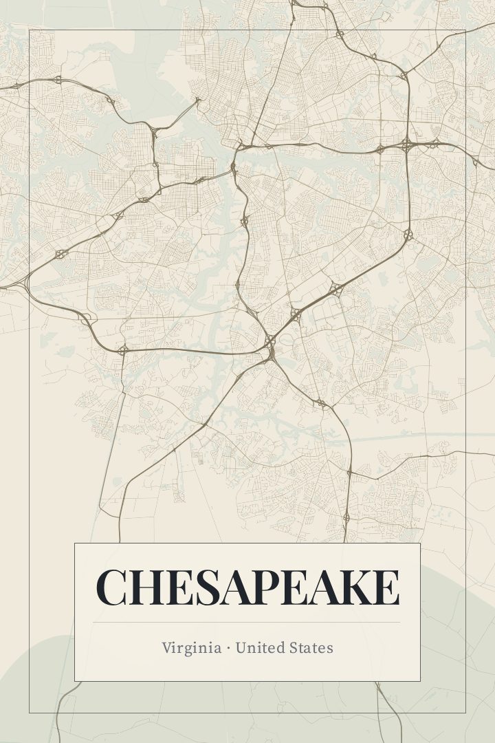
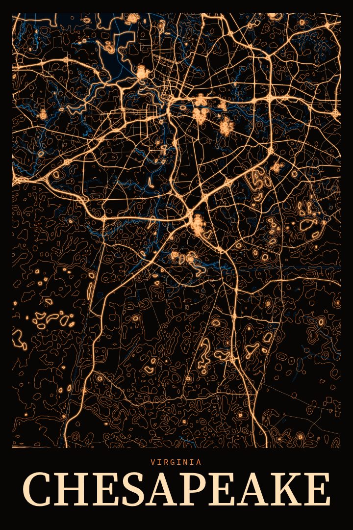
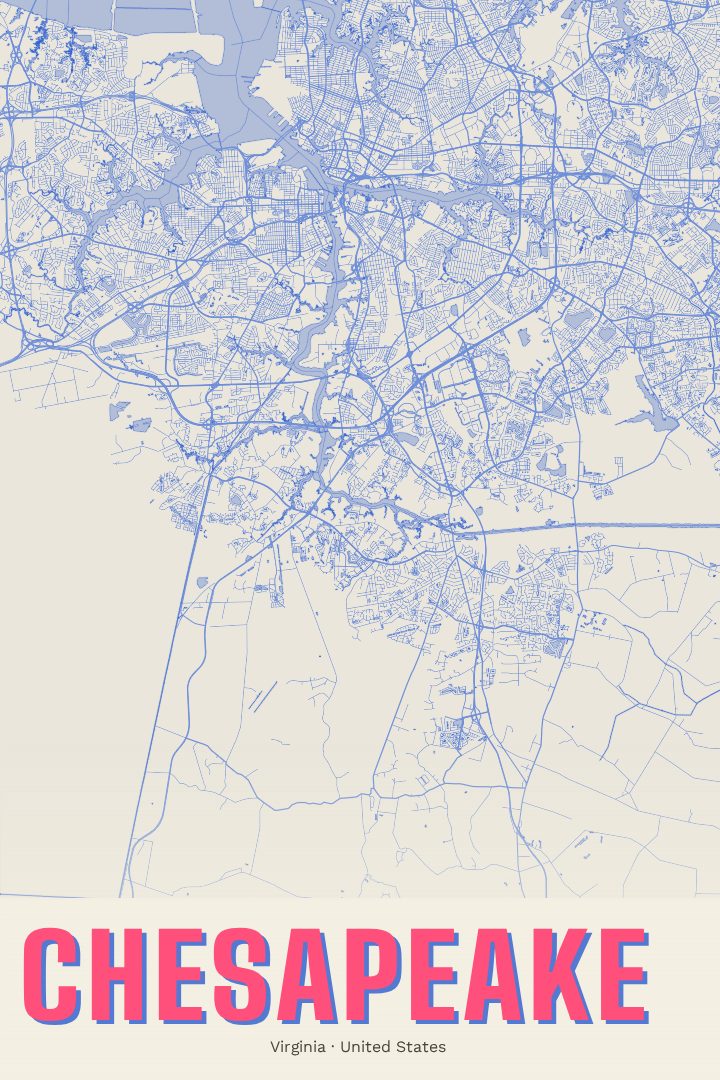
Chesapeake is a city of wide reach in the Hampton Roads area of southeastern Virginia, stretching from the edges of Norfolk and Portsmouth down to the North Carolina line. It is the kind of place where a quiet cul-de-sac, a busy commercial corridor and an open stretch of farmland can all sit within a short drive of each other. For anyone who has lived there, the city's street grid carries a lot of ordinary memory: the route to school, the turn toward a parent's house, the road that always backed up at rush hour.
Water shapes much of Chesapeake's character. Branches of the Elizabeth River wind through its northern neighborhoods, and the Atlantic Intracoastal Waterway passes through the city by way of both the Dismal Swamp Canal and the Albemarle and Chesapeake Canal. Farther south, the land gives way to the Great Dismal Swamp, a wild and wooded contrast to the suburban streets closer to the river. That mix of settled and open ground gives the city a pattern all its own.
The Watercolor edition renders Chesapeake as a street map in a soft, painterly visual style, with gentle washes of color that suit a living room, hallway or home office without feeling loud. It works well as a gift for someone who grew up in the city, a family that recently moved there, or a service member and their household who spent time in Hampton Roads and want a reminder of it. Like every RadMaps print, it is meant as decorative art for the wall rather than a guide for finding the way around.
Make a custom map poster of your own routeDid it yourself? Make a poster from your own Strava activity
Route details
- Location
- Virginia, United States
- Collection
- Cityscapes
Same city, different style
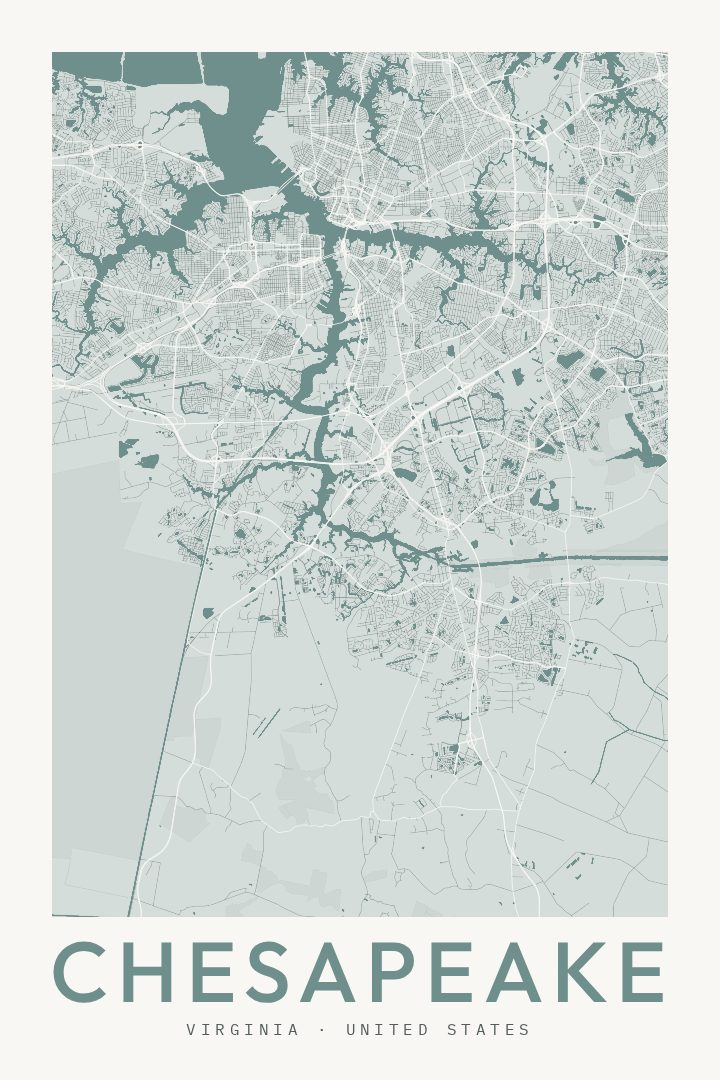
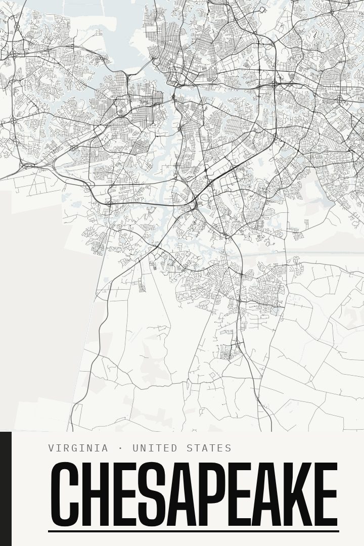
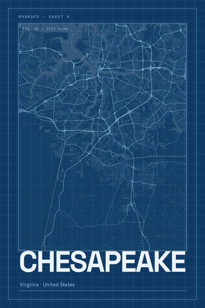
Chesapeake in every style
You might also like
Related map posters




Part of a collection