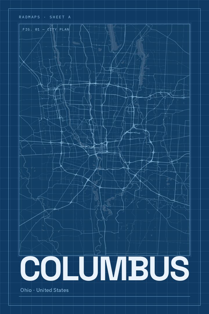
Shown at 16×24" · Archival Matte 250 gsm
Columbus City Map Poster
Blueprint
About this print
Columbus map poster
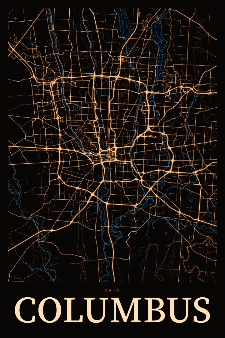
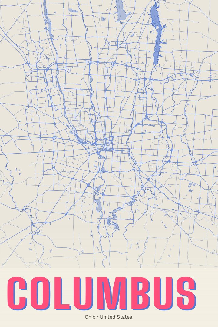
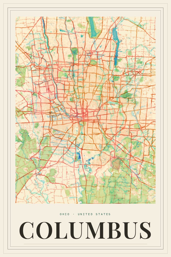
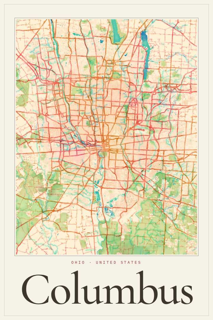
Columbus is a city people tend to know from the inside: the drive in on a familiar highway, the walk to a favorite coffee shop, the route home after a game. This print captures Columbus, Ohio as a street map poster in the Blueprint style, a clean, technical look that treats the city's grid and curves as something worth studying. It suits anyone with a real connection to the place, whether that means a lifelong resident, a recent transplant, or someone who left and still thinks of it as home.
Ohio's capital sits where the Scioto and Olentangy rivers meet, and it is home to Ohio State University, one of the largest university campuses in the country. That mix of state government, a major university, and a growing downtown gives Columbus a character that is easy to underrate from the outside and hard to forget once lived in. A map of its streets is a quiet way to mark that attachment, whether the memories run to football Saturdays, a first apartment, or years spent raising a family across its neighborhoods.
The Blueprint edition is a visual design style, chosen for its crisp, architectural feel. It works well in a home office, a hallway, or a living room where something personal but understated fits better than a photograph. It also makes a thoughtful gift for a graduate, a new homeowner, or a friend moving away who wants to keep a piece of the city close. Like every RadMaps print, it is meant as decorative art for the wall, not as a guide for getting around town.
Make a custom map poster of your own routeDid it yourself? Make a poster from your own Strava activity
Route details
- Location
- Ohio, United States
- Collection
- Cityscapes
Same city, different style
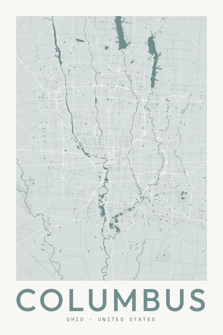
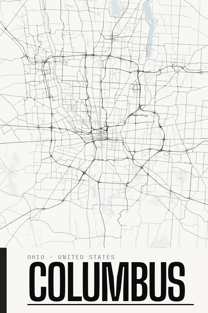
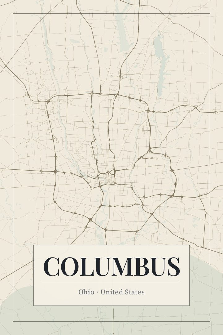
Columbus in every style
You might also like
Related map posters




Part of a collection