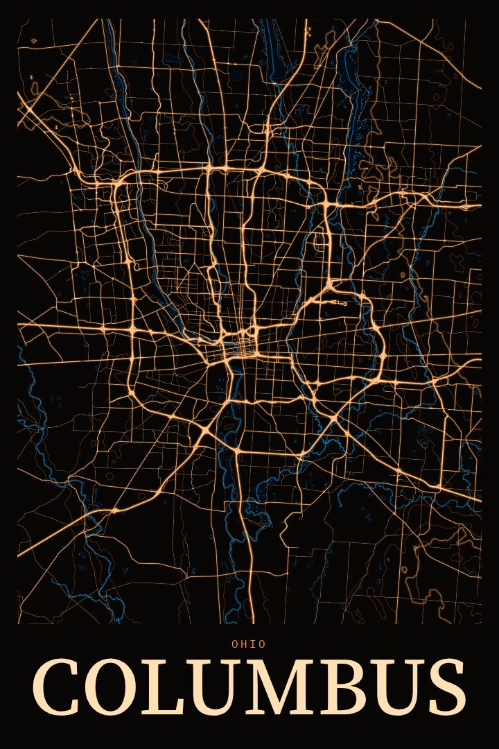
Shown at 16×24" · Archival Matte 250 gsm
Columbus City Map Poster
Neon Night
About this print
Columbus map poster
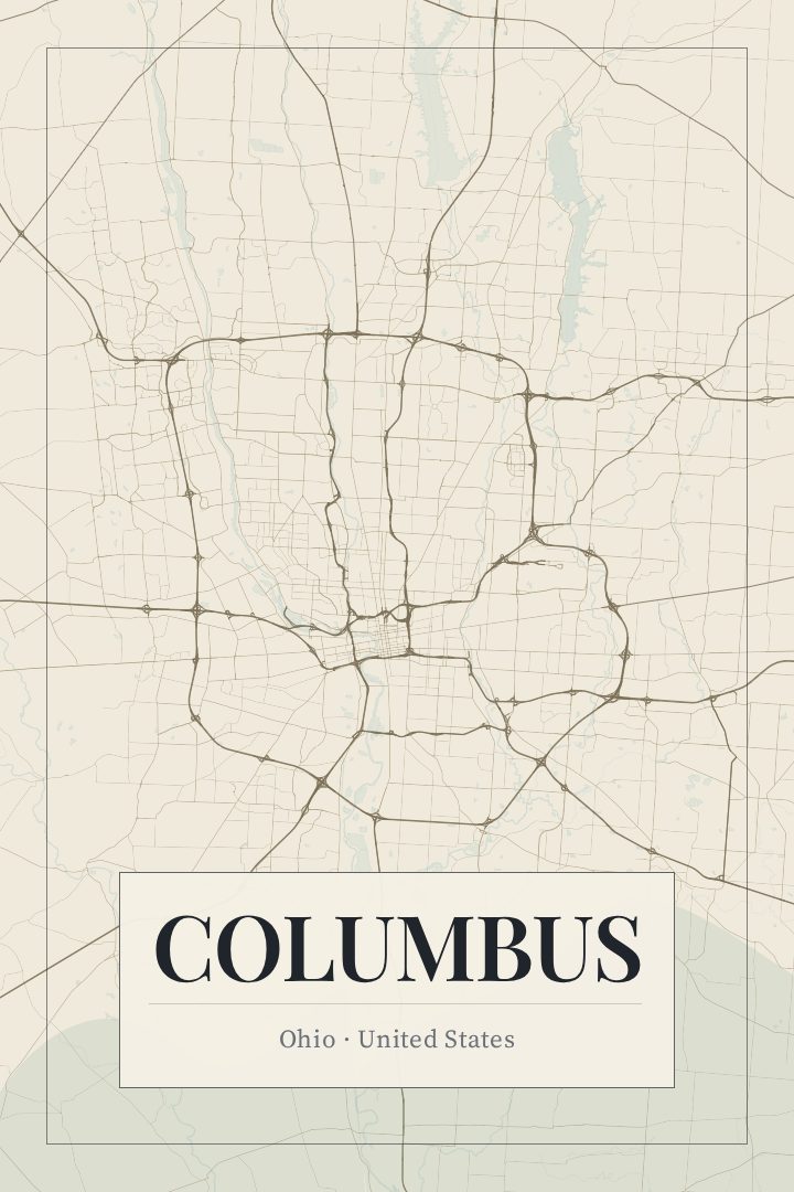
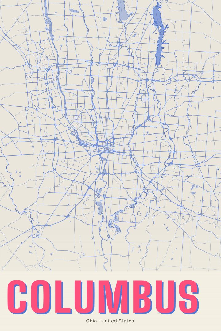
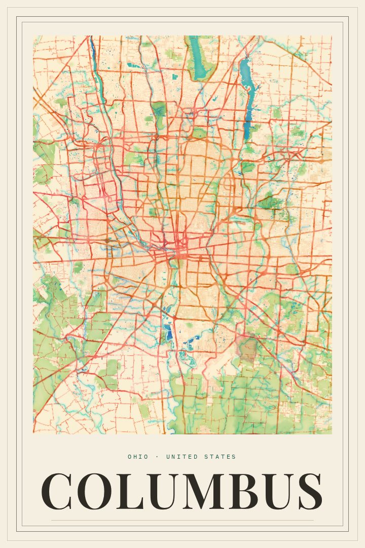
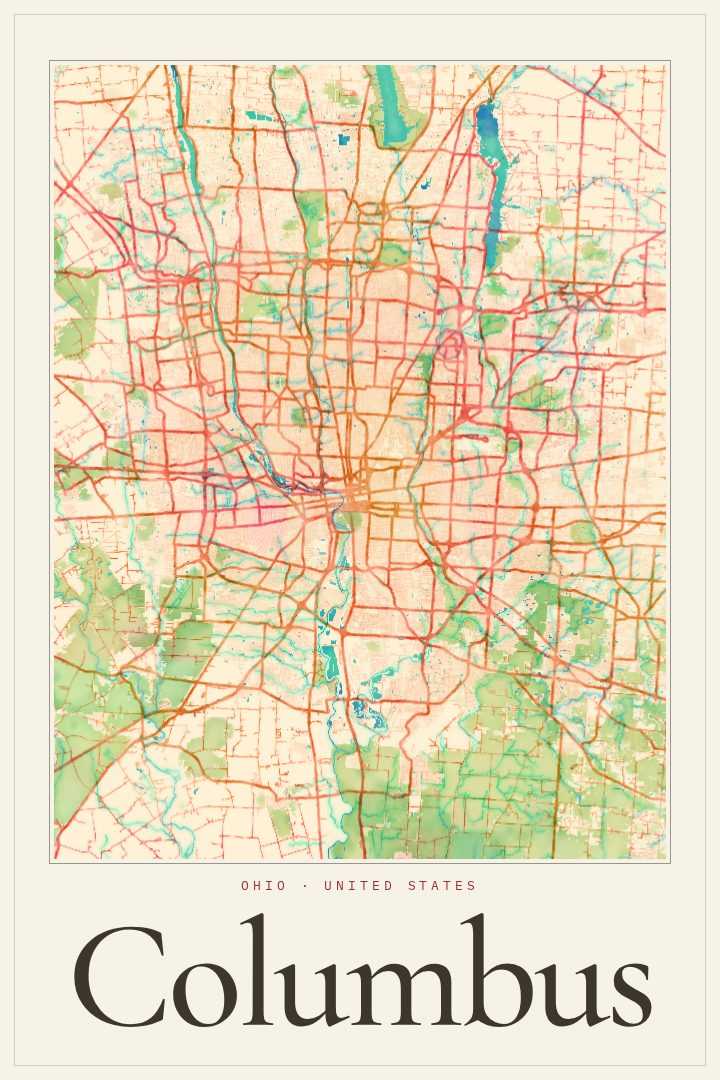
Columbus sits where the Scioto and Olentangy rivers meet in the middle of Ohio, and its street grid tells the story of a capital city that keeps growing outward. This poster renders the city as a street map in the Neon Night style, a dark, glowing palette that suits a place many people know best after the sun goes down: walking home from a show, driving in on the freeway with the downtown skyline lit up, or heading out after a game.
For anyone who studied at Ohio State, raised a family in one of the city's neighborhoods, or simply spent a few good years here, a map of Columbus can hold a lot of memory. The state capitol, the riverfront, the campus that fills on autumn Saturdays, and the long avenues that link one part of town to the next are all part of what makes the city feel like home to the people who have lived there. A street map gives those places a quiet presence on the wall without needing a single photograph.
The Neon Night edition leans toward a modern, evening mood, which makes it a natural fit for a living room, a home office, or an apartment with darker walls. It also works well as a gift for someone who has just moved away from Columbus, or someone who has just arrived and is still learning their way around. Like every RadMaps print, it is meant as decorative art to enjoy rather than a guide for getting anywhere. The available options are listed on this page.
Make a custom map poster of your own routeDid it yourself? Make a poster from your own Strava activity
Route details
- Location
- Ohio, United States
- Collection
- Cityscapes
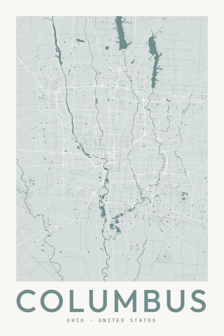
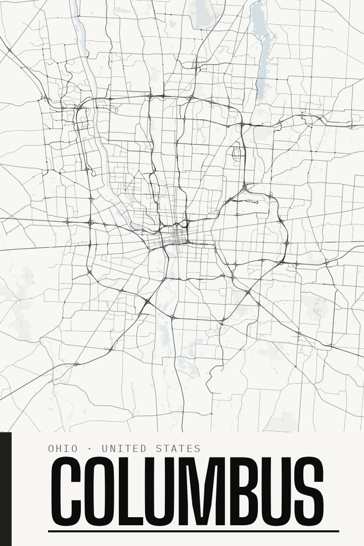
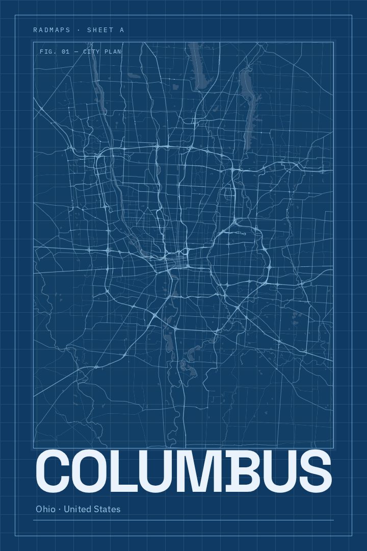
Same city, different style
Columbus in every style
You might also like
Related map posters




Part of a collection