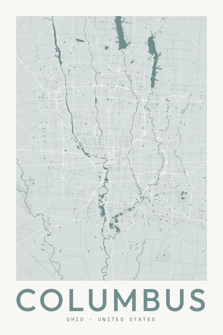
Shown at 16×24" · Archival Matte 250 gsm
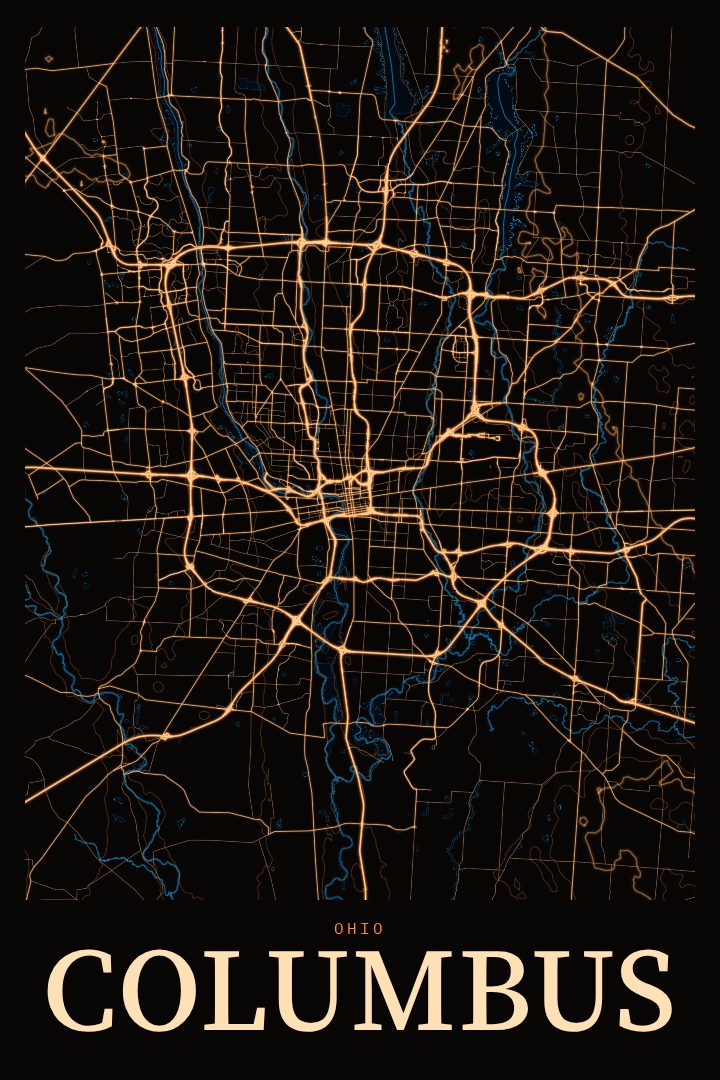
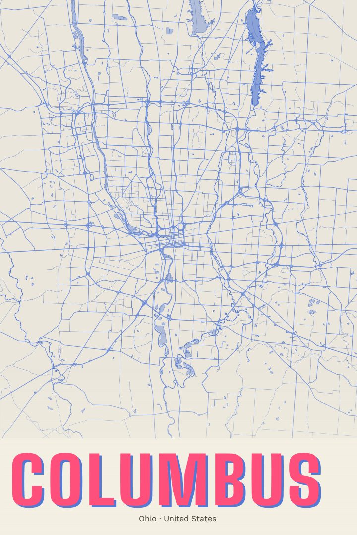
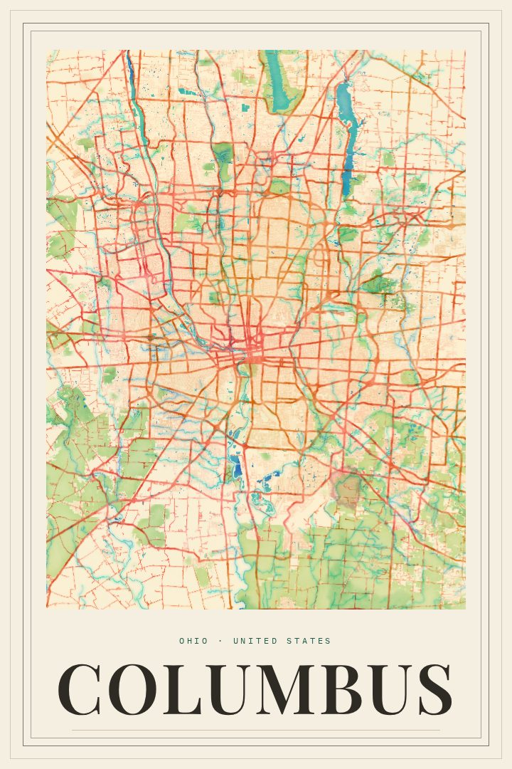
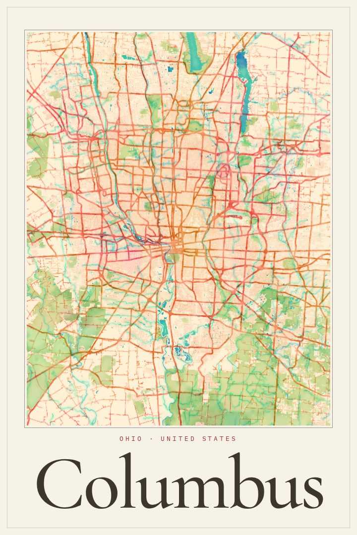
Columbus City Map Poster
Classic
About this print
Columbus map poster
Columbus is Ohio's capital and its largest city, a place that grew up where the Scioto and Olentangy rivers meet. This Classic edition captures the city as a street map poster, a quiet, orderly portrait of the grid and the curves that shape daily life there. It suits anyone who has called Columbus home, studied there, or simply keeps coming back.
The city has a way of feeling both big and approachable. The Ohio State University gives it a constant student energy, and fall Saturdays bring a familiar buzz to much of town. The Scioto Mile and the riverfront parks draw people downtown, while older neighborhoods like German Village and the Short North each carry their own character, from brick streets to galleries and late dinners. A map of Columbus is a reminder of those routines: the drive to campus, the walk along the river, the corner where a favorite coffee shop sits.
The Classic style keeps things clean and timeless, the kind of design that settles easily into a living room, office, or dorm wall without competing with everything around it. It also makes a thoughtful gift for a graduate, a new homeowner, or someone who moved away and misses the place. This poster is meant to be enjoyed as decorative art rather than used for getting around, a calm way to keep a little of Columbus close.
Make a custom map poster of your own routeDid it yourself? Make a poster from your own Strava activity
Route details
- Location
- Ohio, United States
- Collection
- Cityscapes
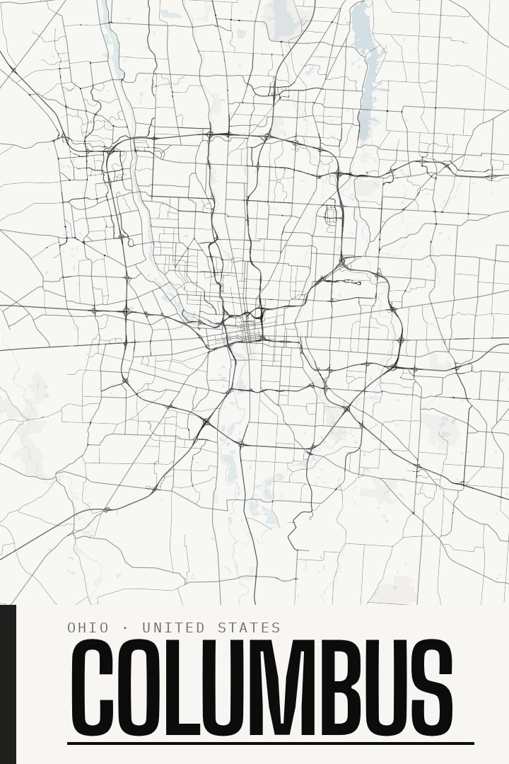
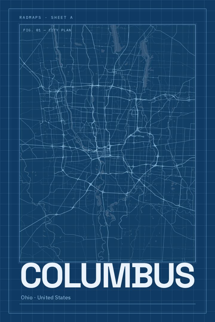
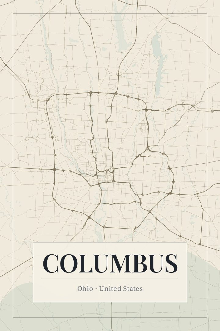
Same city, different style
Columbus in every style
You might also like
Related map posters




Part of a collection