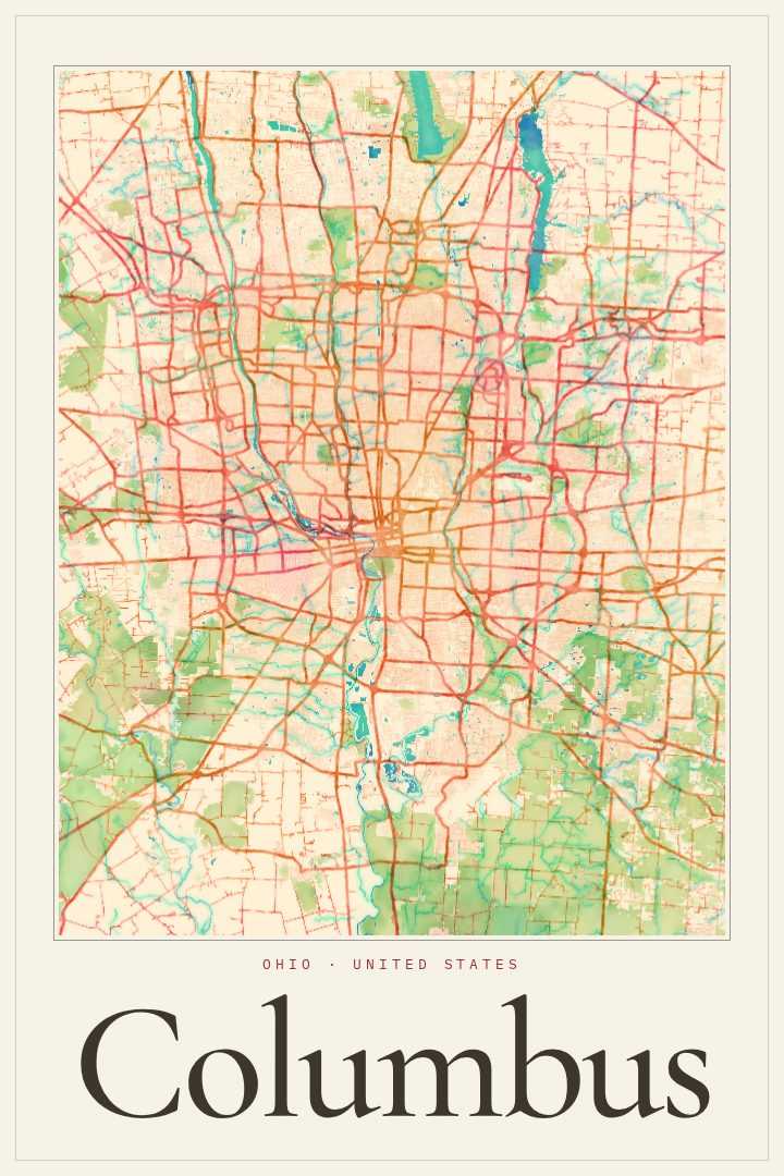
Shown at 16×24" · Archival Matte 250 gsm
Columbus City Map Poster
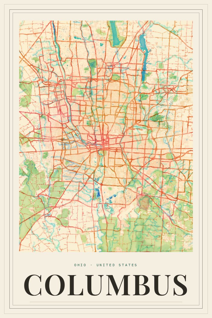
Watercolor
About this print
Columbus map poster
Columbus is Ohio's capital and one of the largest cities in the Midwest, a place many people know through a particular corner of it: a first apartment near Ohio State, a favorite table in the Short North, brick streets in German Village, or an evening walk along the Scioto River downtown. This print takes the city's street map and renders it in the Watercolor style, a design approach built around soft washes of color and gentle edges rather than hard lines.
The result reads more like a painting of a place than a diagram of one. Up close there is the familiar tangle of a real city, the grid giving way to curving roads and river bends. From across the room it settles into a calm pattern of color that sits easily in a living room, a hallway, or an office. The Watercolor style suits a city like Columbus, which tends to be loved for its neighborhoods and the everyday life in them more than for a single famous skyline view.
It makes a thoughtful gift for someone who grew up in Columbus, studied there, recently moved away, or just put down roots. Graduates, new homeowners and longtime locals tend to see their own stories in a map of the streets they know. Like every RadMaps poster, it is meant as decorative art for the wall, not as a guide for getting around town.
Make a custom map poster of your own routeDid it yourself? Make a poster from your own Strava activity
Route details
- Location
- Ohio, United States
- Collection
- Cityscapes
Same city, different style
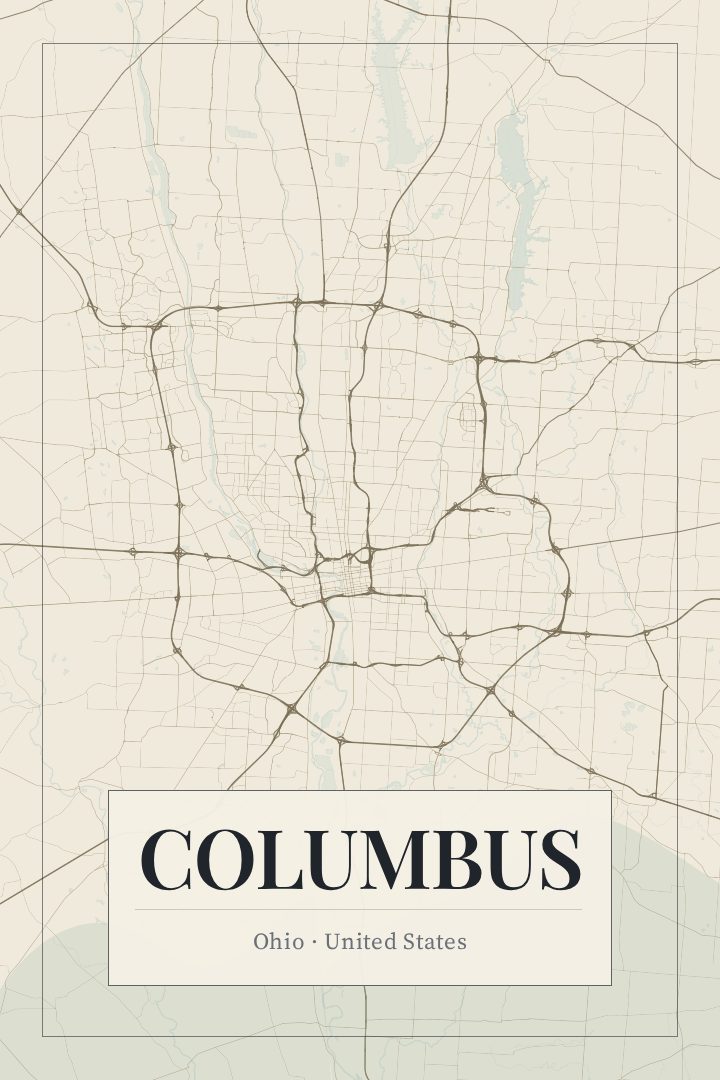
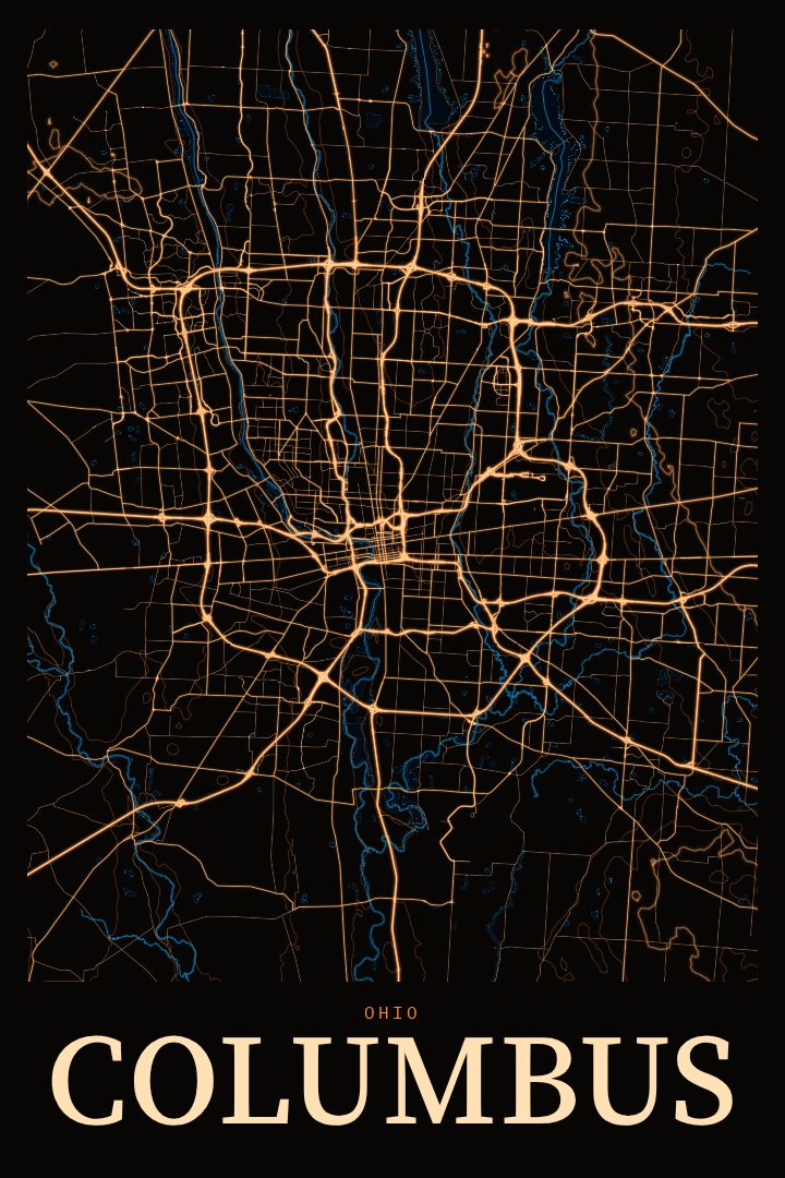
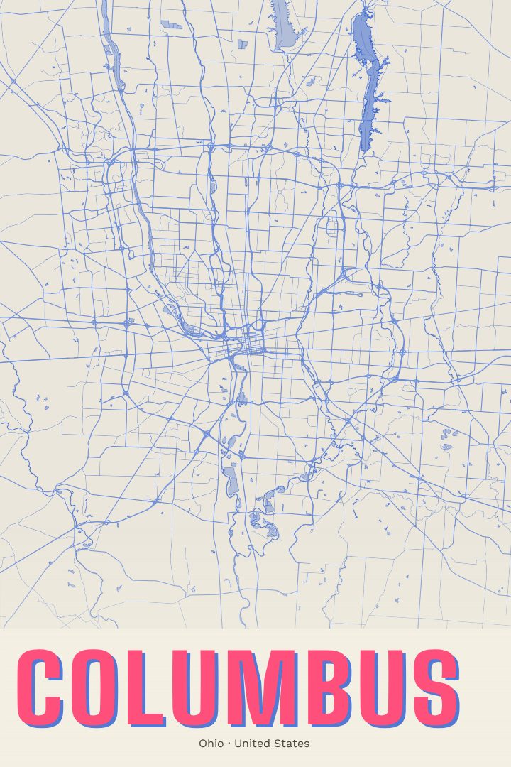
Columbus in every style
You might also like
Related map posters




Part of a collection