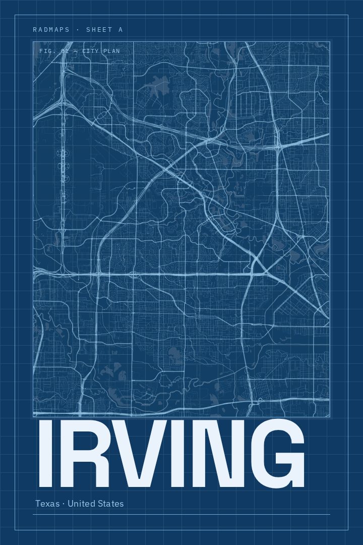
Shown at 16×24" · Archival Matte 250 gsm
Irving City Map Poster
Blueprint
About this print
Irving map poster
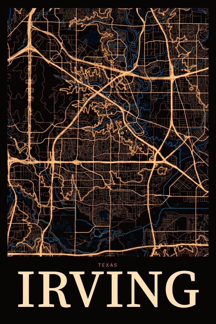
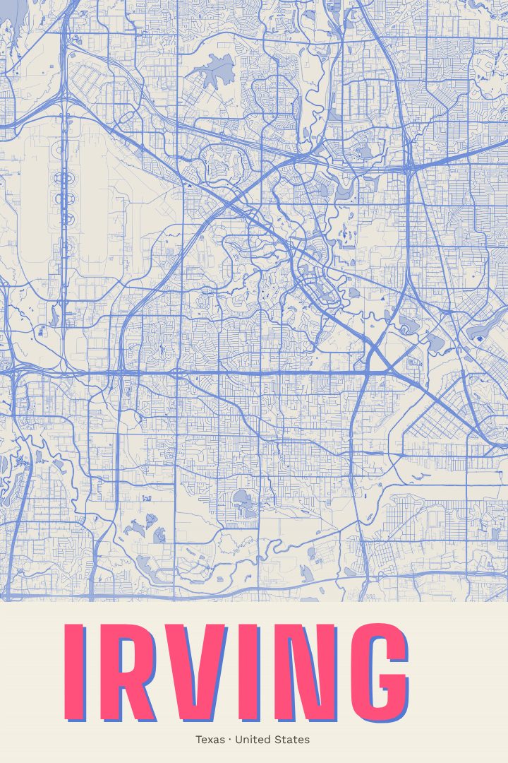
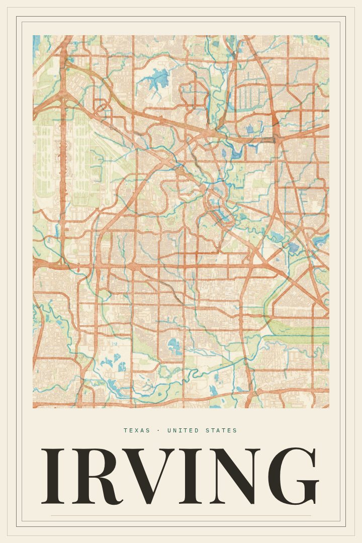
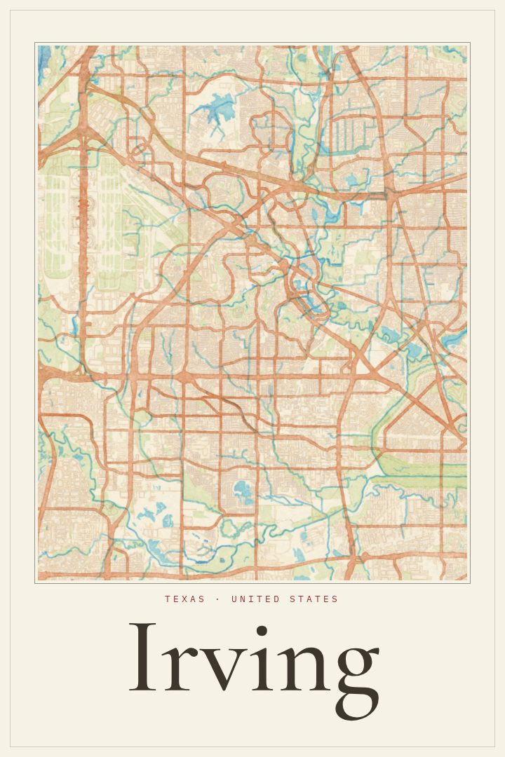
Irving sits between Dallas and Fort Worth, a city that many people know first as a place they pass through on the way to somewhere else, and that plenty of others know as home. This print treats it as a place worth looking at on its own terms, setting its street grid out as a city map poster in the Blueprint style. The style leans on the look of technical drawings, so the result reads as clean and architectural rather than busy, a calm way to hold a city's layout on a wall.
The city has a mix of character that a street map can quietly suggest. Las Colinas brings office towers, canals and the lake that anchors that part of town, while older neighborhoods closer to the original town center carry a different, more settled feel. Highways and rail lines tie Irving to the rest of the Metroplex, and DFW International Airport sits along the city's edge, which is part of why so many travelers end up here. For people who live in Irving, work there, grew up there, or moved away and still think of it fondly, the shape of these streets tends to carry a lot of memory.
As decorative art, the poster suits a home office, an entryway, or a living room where a reminder of a particular place feels right. It also makes a thoughtful gift for someone marking a move, a new job, or a long stretch of years spent in this corner of North Texas. It is meant for display and is not a navigation aid.
Make a custom map poster of your own routeDid it yourself? Make a poster from your own Strava activity
Route details
- Location
- Texas, United States
- Collection
- Cityscapes
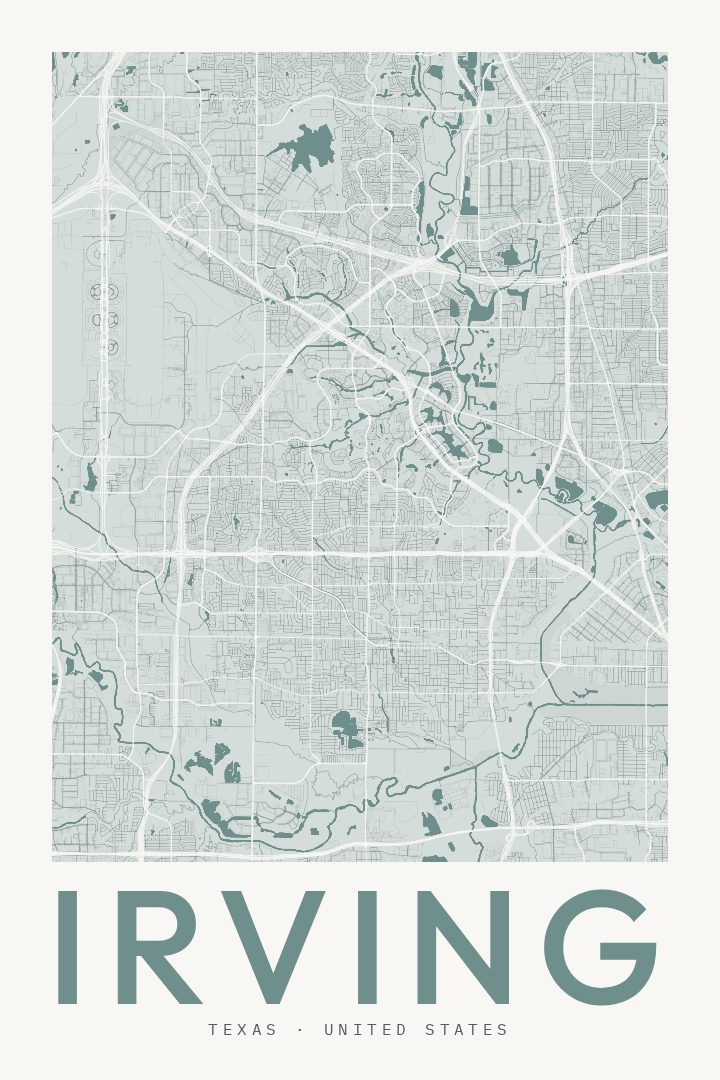
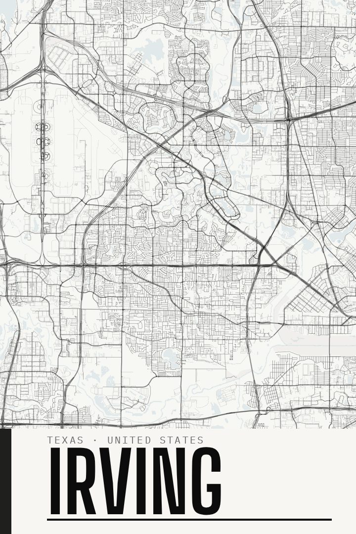
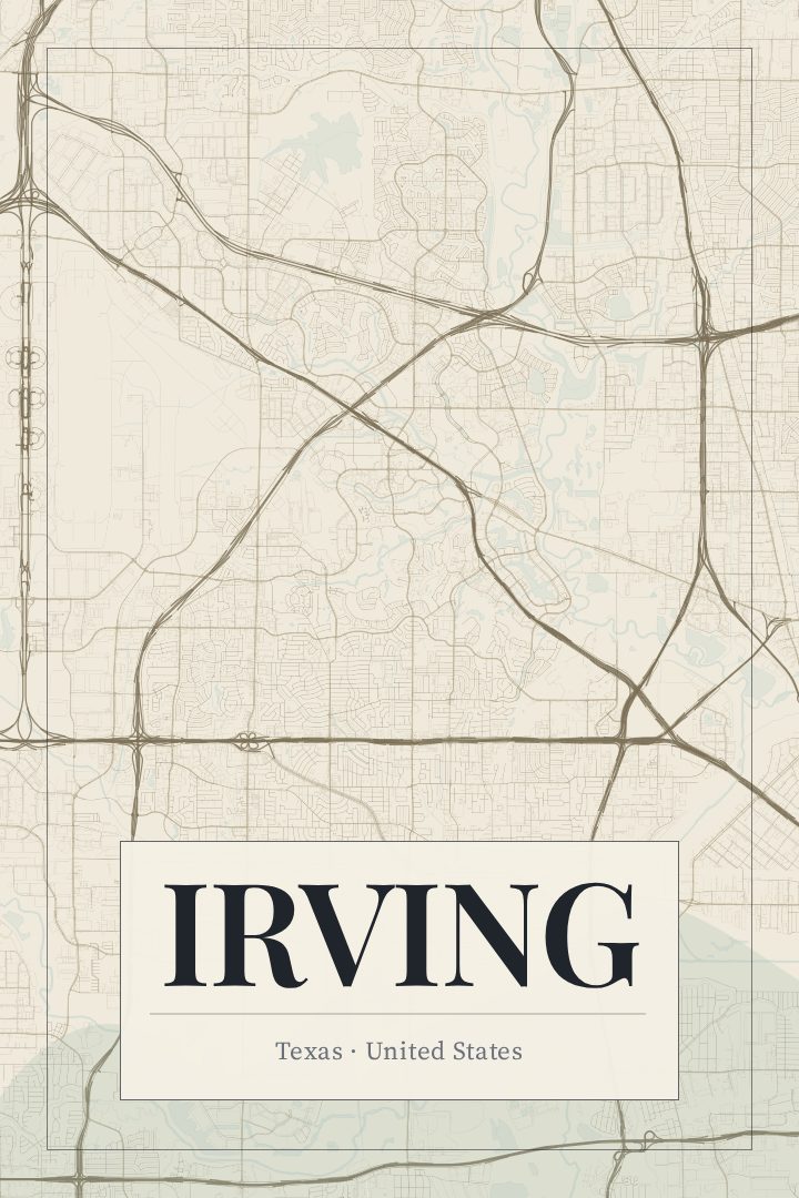
Same city, different style
Irving in every style
You might also like
Related map posters




Part of a collection