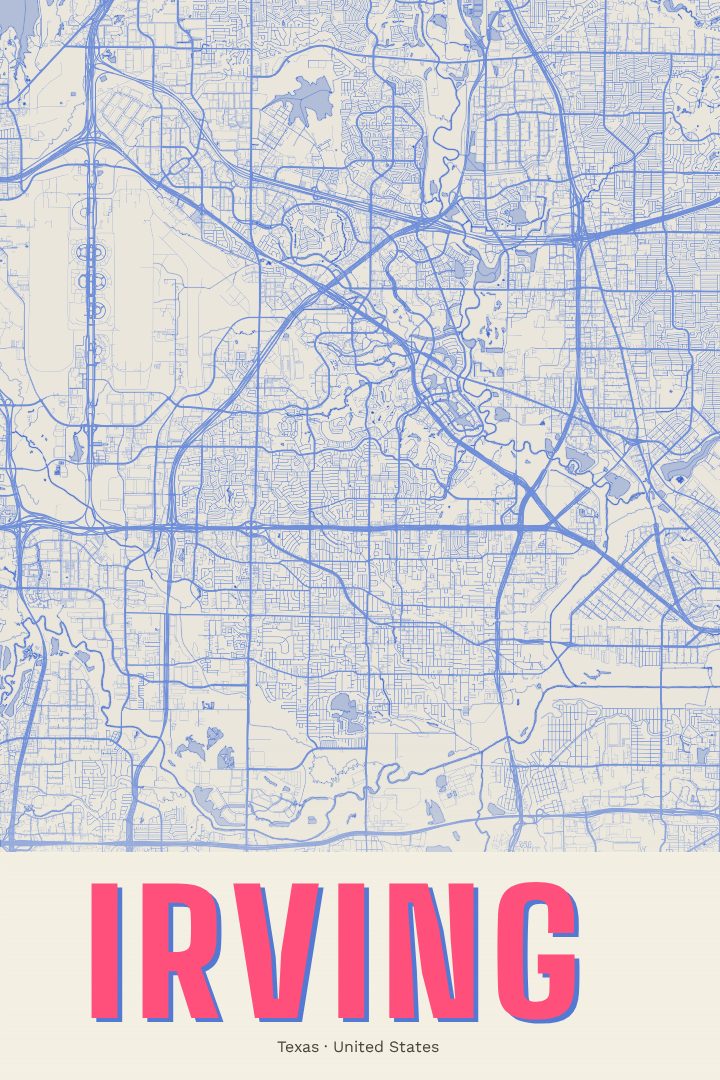
Shown at 16×24" · Archival Matte 250 gsm
Irving City Map Poster
Overprint
About this print
Irving map poster
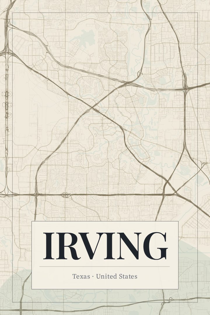
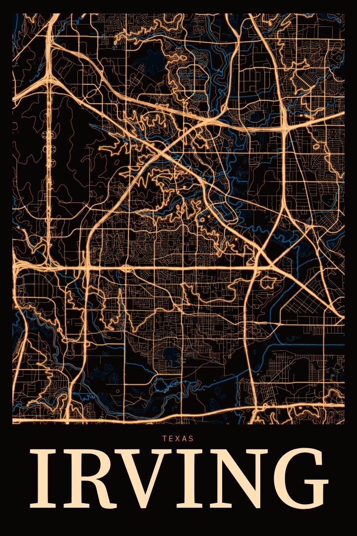
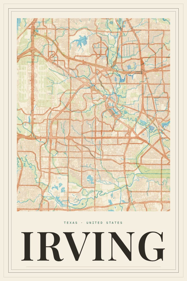
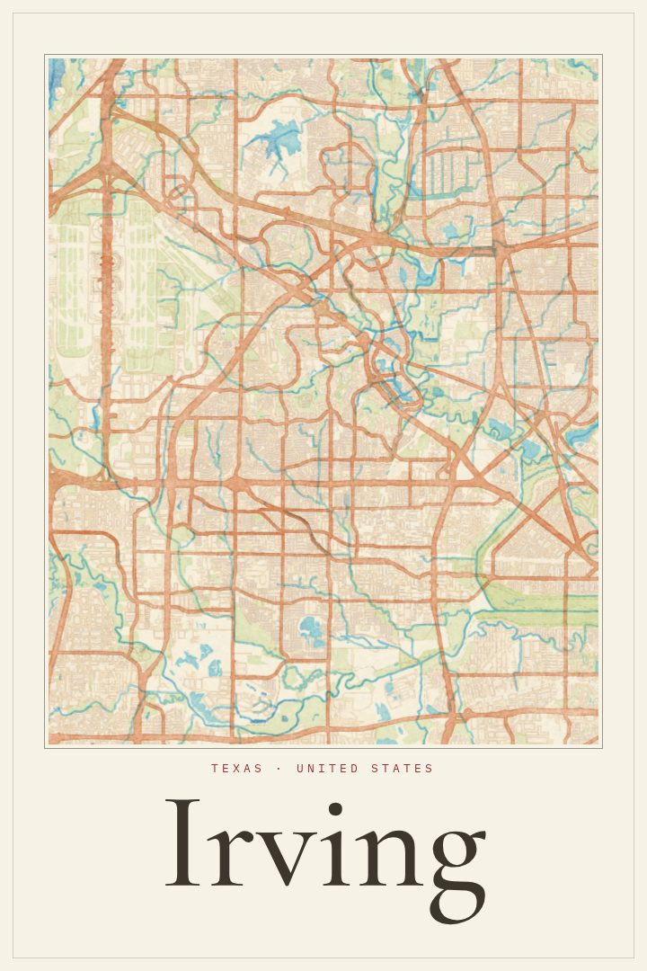
Irving sits between Dallas and Fort Worth, a city that grew up alongside the highways and the airport that tie the Metroplex together. It is the kind of place people know from daily life: commutes, office parks, neighborhood streets, and the quieter residential pockets in between. This poster is a street map of Irving in the Overprint style, made for anyone who wants that familiar grid on the wall.
Irving has long been home to Las Colinas, with its planned business district and the canals and lake at its center, and to older neighborhoods that predate the area's rapid growth. The Trinity River and its greenbelt run along the city's edge, and Dallas/Fort Worth International Airport lies just beyond its northwest corner, which makes Irving a crossing point for a great many travelers. For people who live there, though, it is simply home, a set of routes walked, driven, and memorized over years.
The Overprint edition is a digital design style built on bold, layered-looking color, giving the city's streets a graphic, contemporary feel that fits a living room, an office, or an entryway. It works as a reminder of a first apartment, a family house, a job that brought someone to North Texas, or a city left behind and still missed. As a gift, it suits new homeowners, graduates, and anyone with roots in Irving. It is meant purely as decorative art rather than a guide for getting around, and it is a quiet, personal way to mark a place that matters.
Make a custom map poster of your own routeDid it yourself? Make a poster from your own Strava activity
Route details
- Location
- Texas, United States
- Collection
- Cityscapes
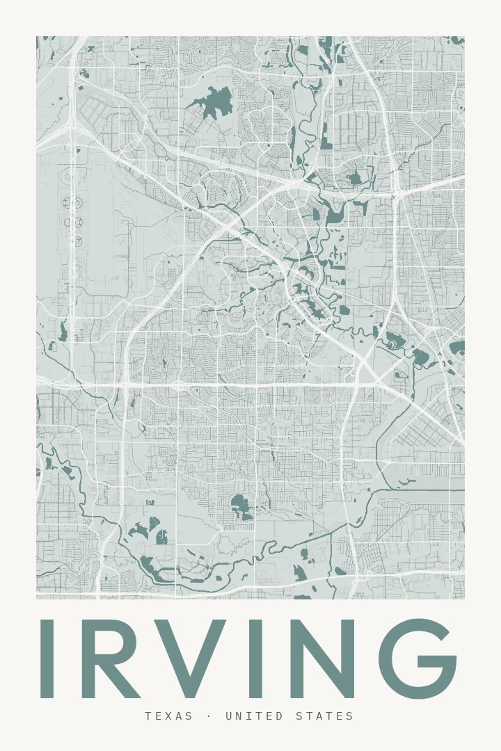
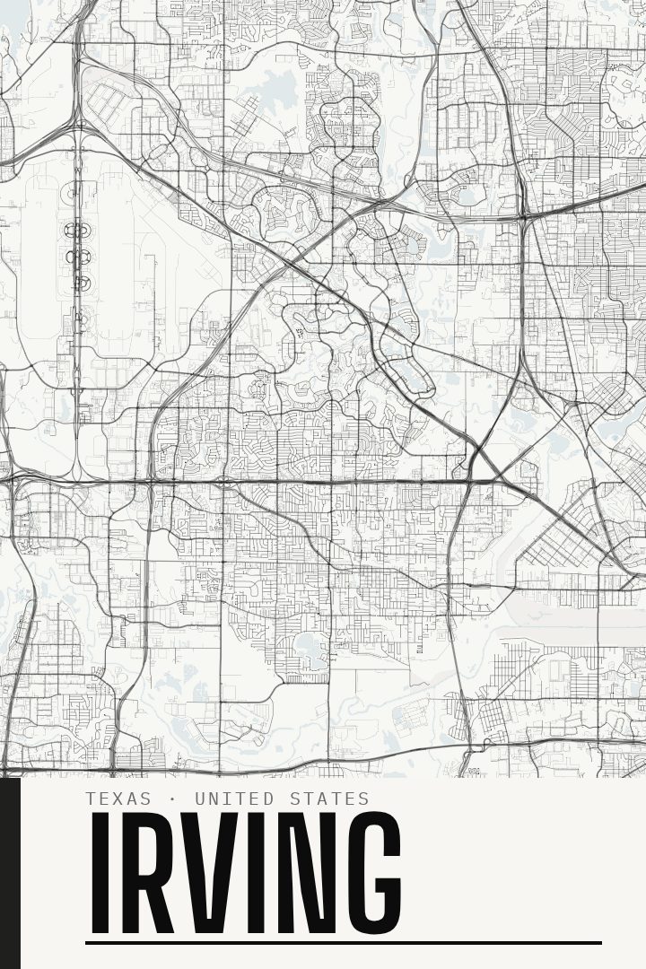
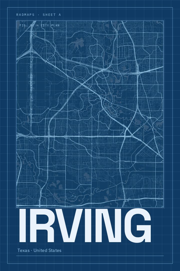
Same city, different style
Irving in every style
You might also like
Related map posters




Part of a collection