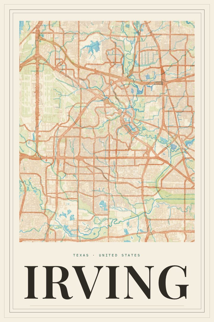
Shown at 16×24" · Archival Matte 250 gsm
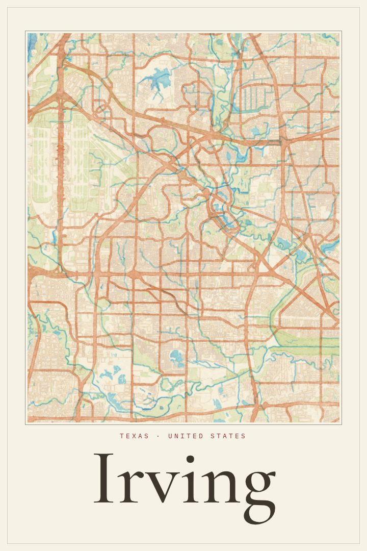
Irving City Map Poster
Painted Survey
About this print
Irving map poster
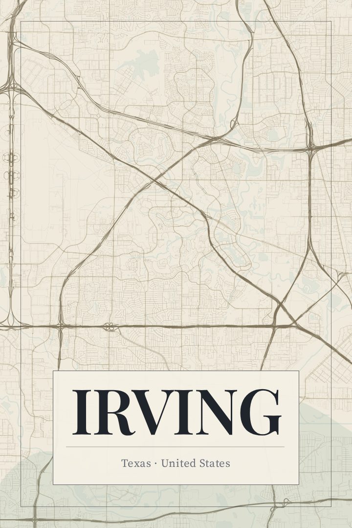
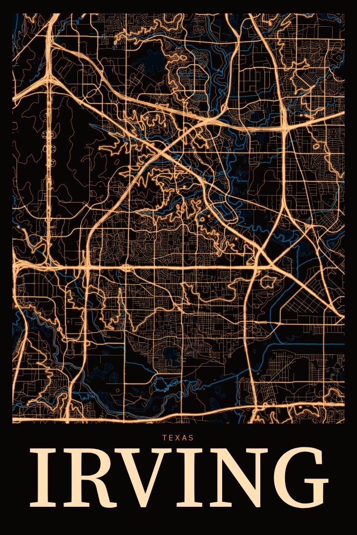
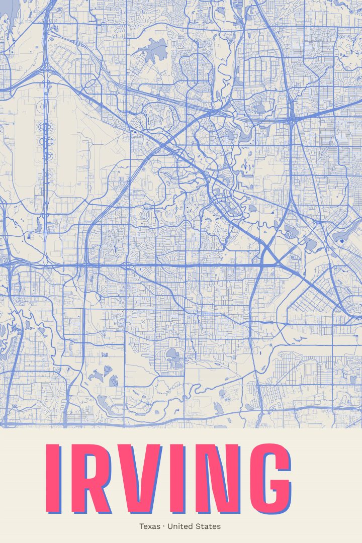
Irving sits in the middle of the Dallas–Fort Worth area, a city that many people pass through on the way to somewhere else and that plenty of others call home. Its street grid spreads between the two larger cities, shaped by highways, rail lines, and the Elm Fork of the Trinity River along its eastern side. This print turns that layout into a piece of wall art in the Painted Survey style, a soft, painterly take on a city map that keeps the character of the streets while feeling more like a picture than a chart.
For anyone with ties to Irving, the place carries a lot of familiar texture. There is Las Colinas, with its office towers, canals, and Lake Carolyn, and the bronze Mustangs of Las Colinas galloping through Williams Square. There are older neighborhoods closer to the original town center, quiet residential streets, and the constant hum of traffic heading toward DFW Airport nearby. A map poster can hold all of that in one frame, a reminder of a first apartment, a long-time family house, a job that brought someone to North Texas, or simply a city that became home.
The Painted Survey edition suits rooms where a strict technical map would feel too cold. It pairs easily with a home office, an entryway, or a living room wall, and it makes a thoughtful gift for someone moving away from Irving or settling into it. It is meant as decorative art rather than a guide for getting around. Size and finish options are listed on this page.
Make a custom map poster of your own routeDid it yourself? Make a poster from your own Strava activity
Route details
- Location
- Texas, United States
- Collection
- Cityscapes
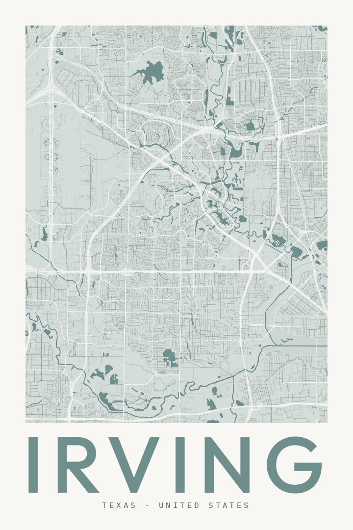
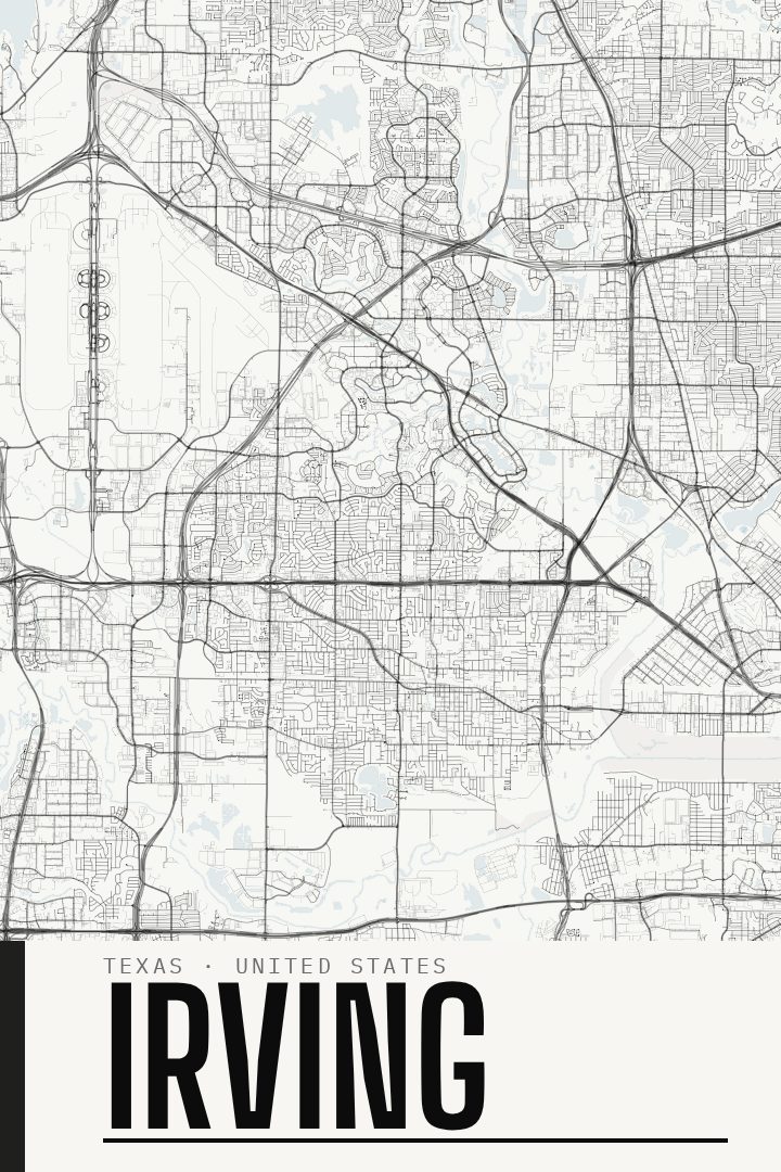
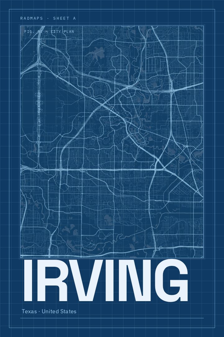
Same city, different style
Irving in every style
You might also like
Related map posters




Part of a collection