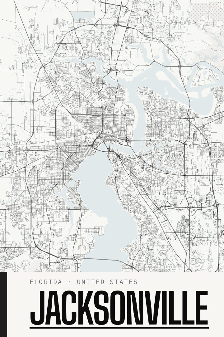
Shown at 16×24" · Archival Matte 250 gsm
Jacksonville City Map Poster
Blackline
About this print
Jacksonville map poster
Jacksonville is a city shaped by water. The St. Johns River winds through its center, crossed by a series of bridges that have become part of the city's identity, before turning east toward the Atlantic. Spread across one of the largest land areas of any city in the United States, Jacksonville takes in a working downtown, older riverside neighborhoods, and long stretches of beach communities along the coast. This print brings that sprawling street grid to the wall as a clean piece of cityscape art.
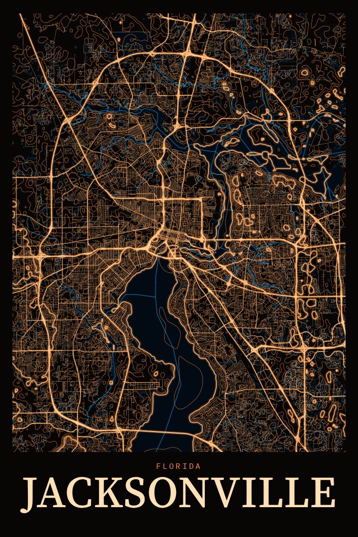
The Blackline edition is a graphic, high-contrast design style that lets the pattern of the streets carry the composition. Dense blocks, looping suburban roads, and the open spaces where water breaks up the grid all add texture without much else competing for attention. The result reads as both a map and an abstract piece, which makes it easy to place in a living room, office, or hallway alongside other art.
For anyone who grew up in Jacksonville, moved there for work or the military, or spent years driving its bridges and highways, a street map can hold a lot of personal memory in a simple form. It also makes a thoughtful gift for someone leaving the city or settling into a new home there. Like every RadMaps print, it is meant purely as decorative art rather than a guide for getting around, a way to keep a familiar place close at hand.
Make a custom map poster of your own routeDid it yourself? Make a poster from your own Strava activity
Route details
- Location
- Florida, United States
- Collection
- Cityscapes
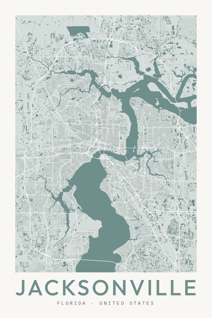
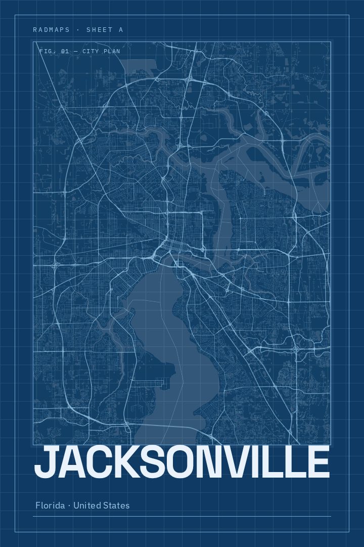
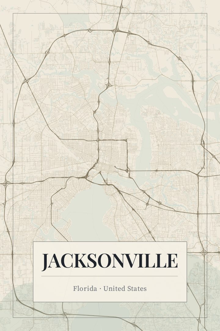
Same city, different style
Jacksonville in every style
You might also like
Related map posters




Part of a collection