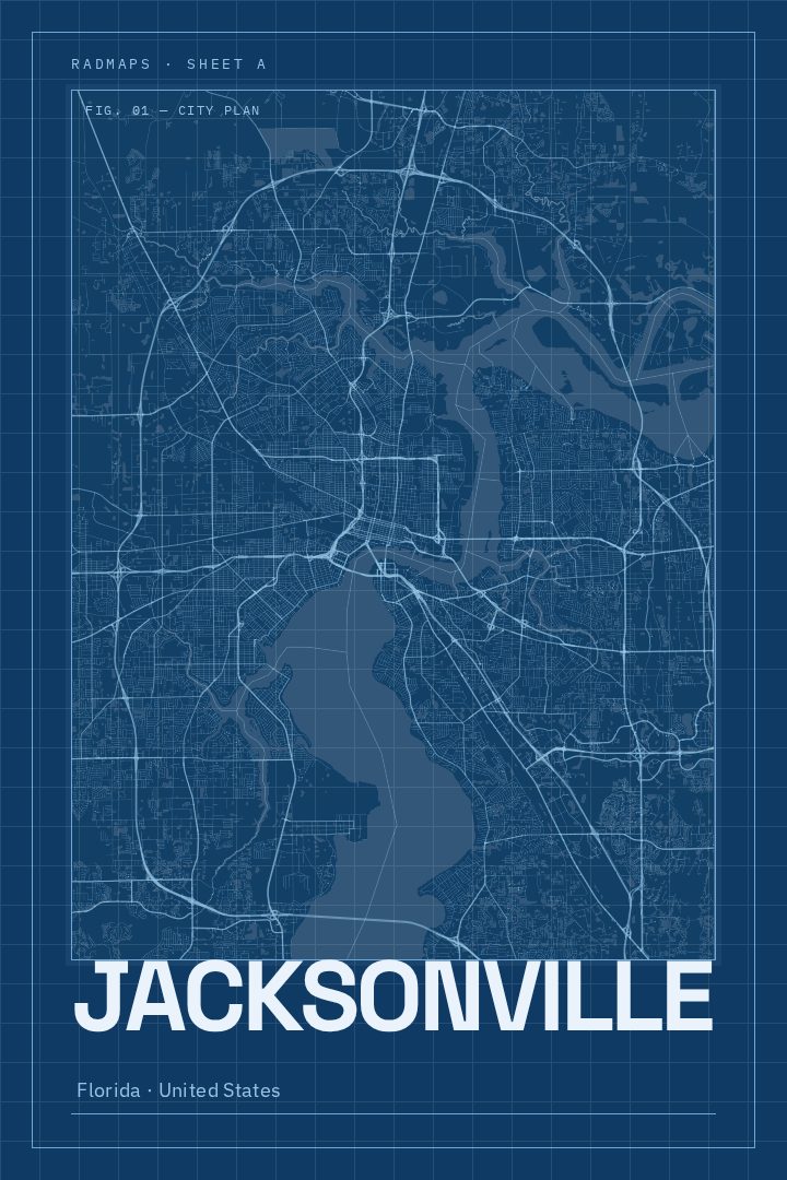
Shown at 16×24" · Archival Matte 250 gsm
Jacksonville City Map Poster
Blueprint
About this print
Jacksonville map poster
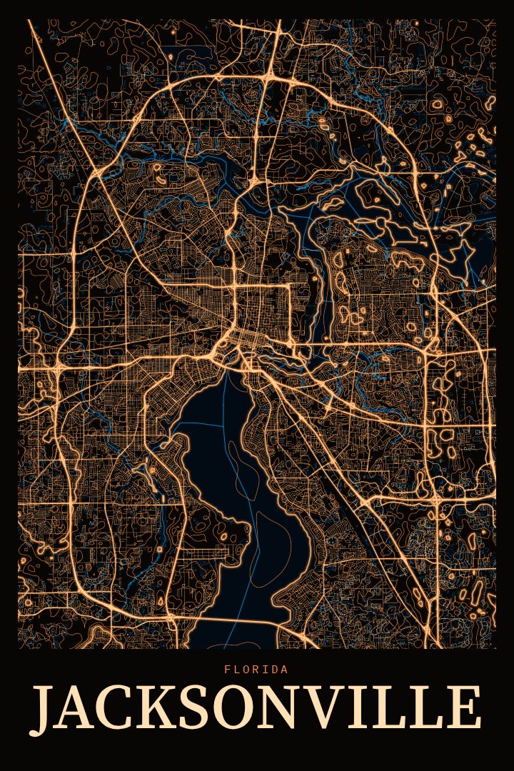
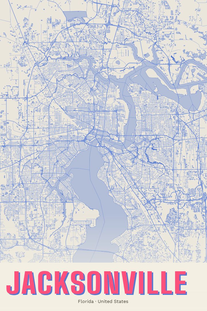
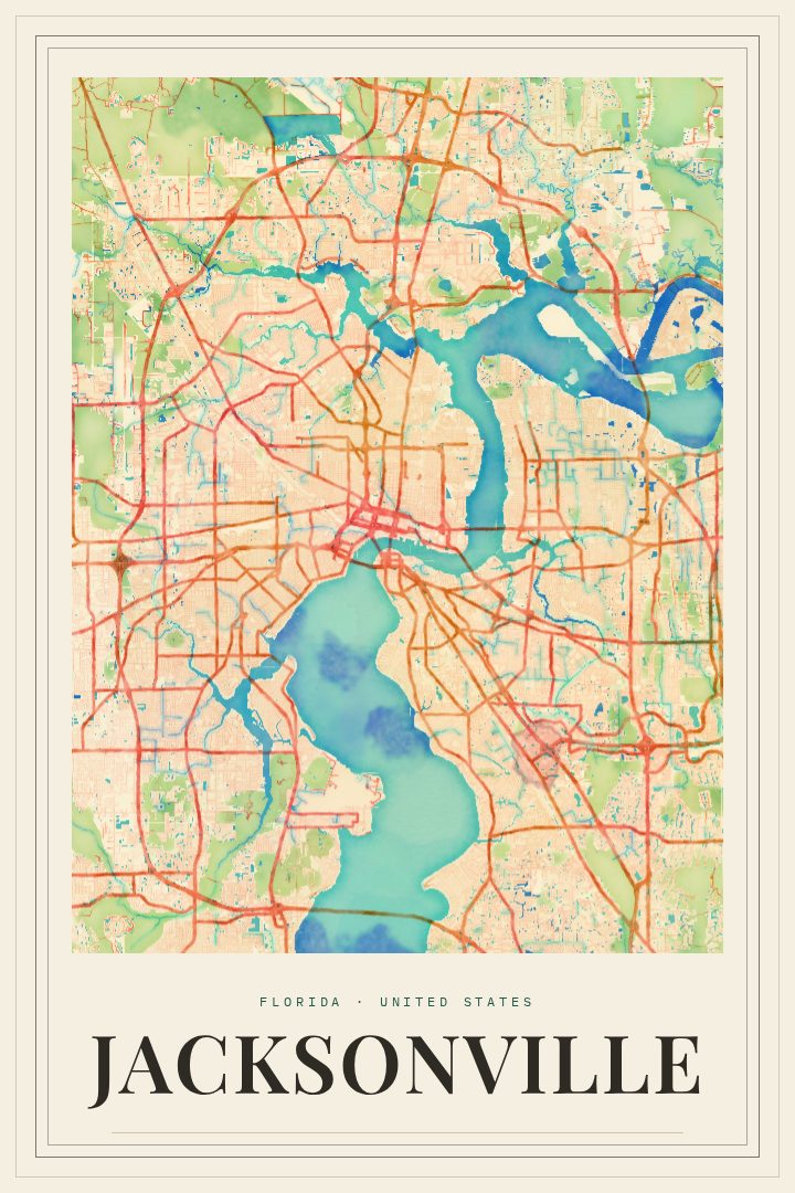
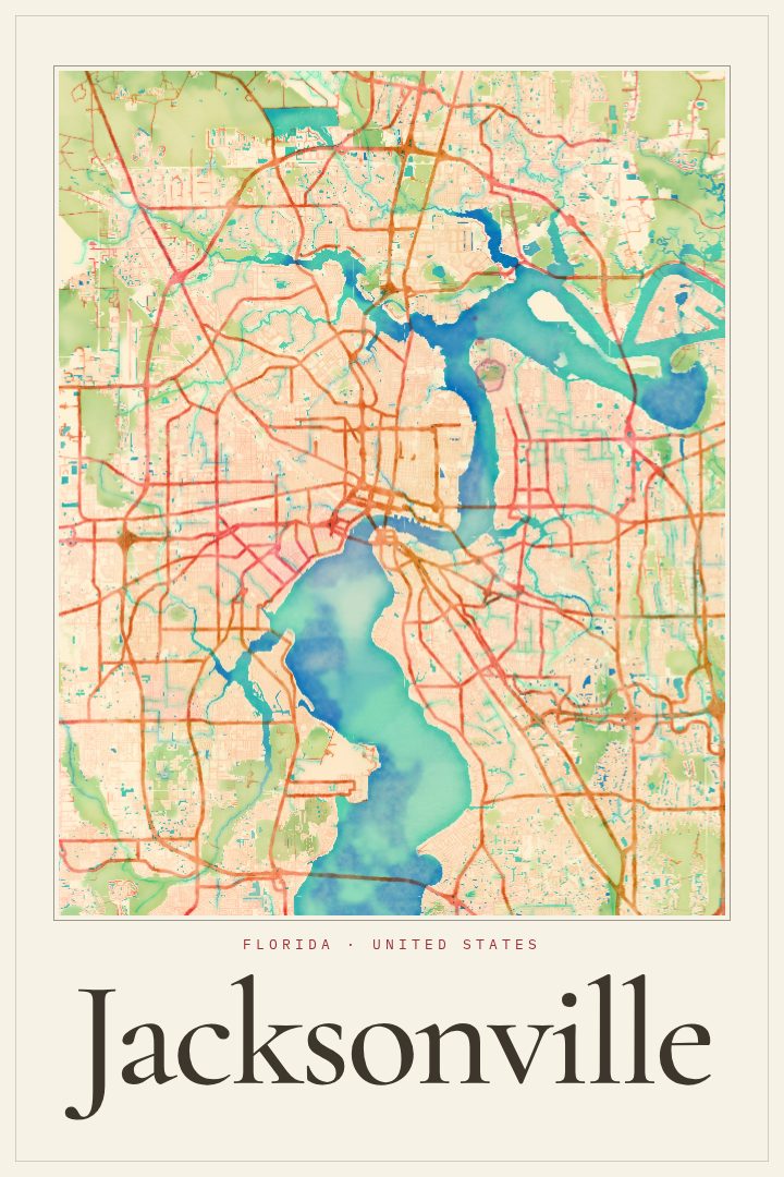
Jacksonville is a city shaped by water. The St. Johns River winds through its center on the way to the Atlantic, and the city's street grid spreads out along both banks, linked by a series of bridges that have become part of its identity. Few American cities cover as much ground, and that sprawl gives Jacksonville a map with real character: dense blocks near the urban core, looser neighborhoods reaching outward, and the long eastward stretch toward the beaches.
This print presents Jacksonville as a street map in the Blueprint style, a clean, technical look that suits a city so closely tied to its river and its layout. The design treats the city as a plan to be studied, which makes it a fitting piece for anyone who appreciates how a place fits together, whether that means a lifelong resident, someone who moved away and misses the drive across the river, or a newcomer still learning which side of town is which.
It works well in a home office, a living room, or a hallway where a quieter, more architectural piece is wanted. It also makes a thoughtful gift for a Jacksonville Jaguars fan, a Navy family stationed in the area, or a graduate leaving town with good memories of Northeast Florida. The poster is meant as decorative art rather than a guide for getting around, a way to keep a familiar city in view every day. The available sizes and finishing options are listed on this page.
Make a custom map poster of your own routeDid it yourself? Make a poster from your own Strava activity
Route details
- Location
- Florida, United States
- Collection
- Cityscapes
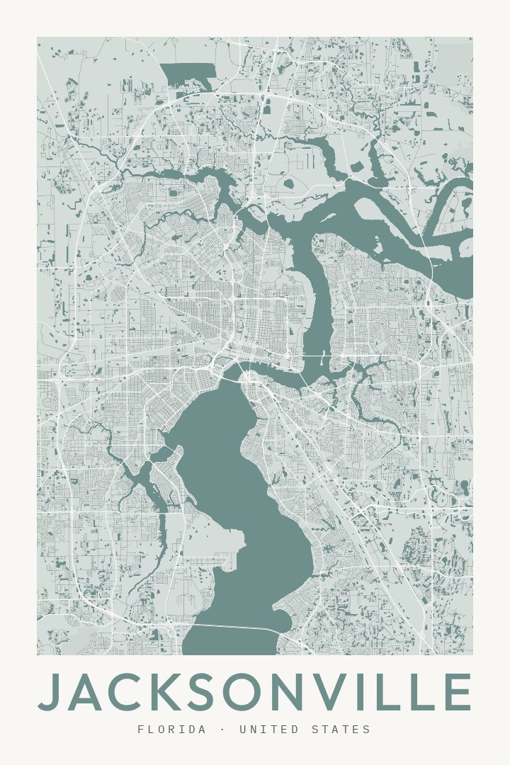
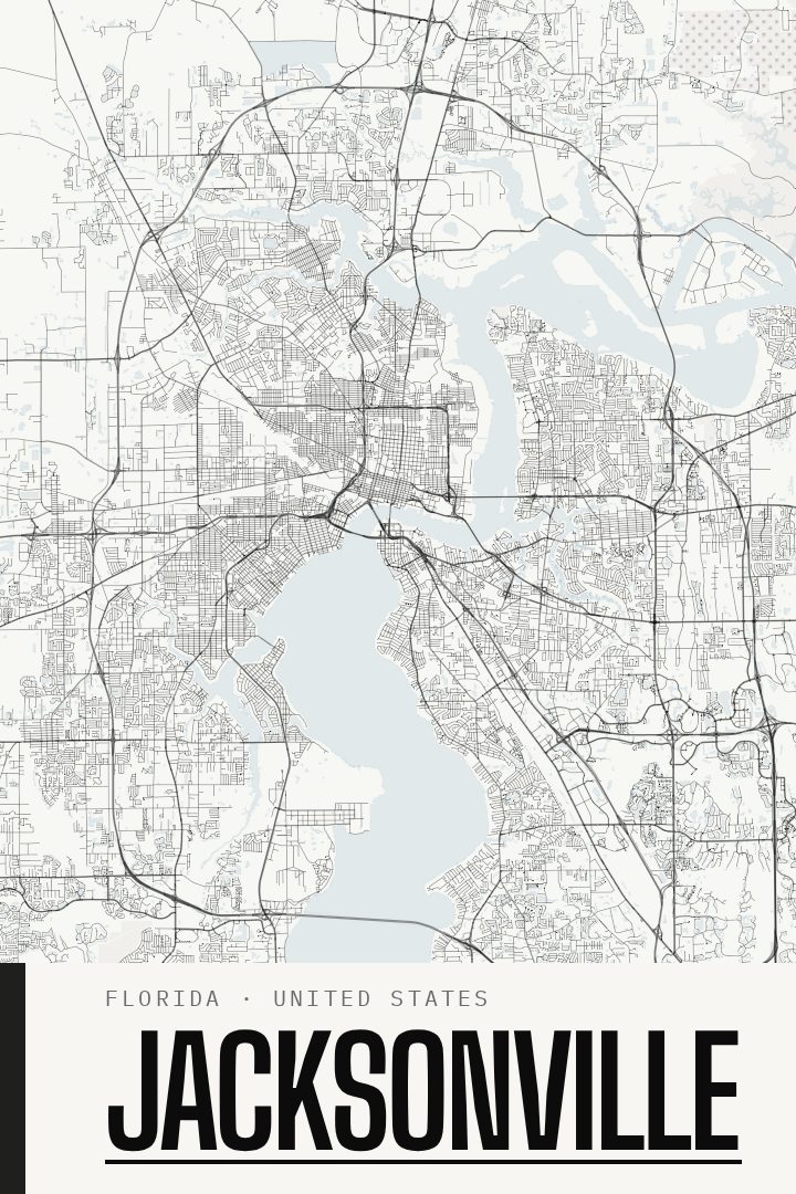
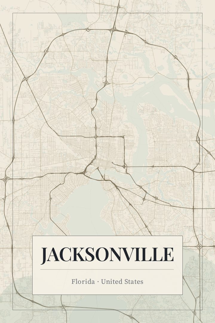
Same city, different style
Jacksonville in every style
You might also like
Related map posters




Part of a collection