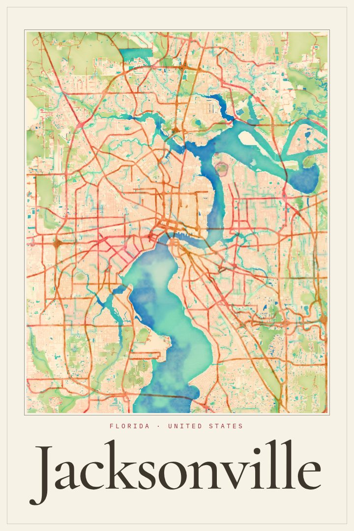
Shown at 16×24" · Archival Matte 250 gsm
Jacksonville City Map Poster
Watercolor
About this print
Jacksonville map poster
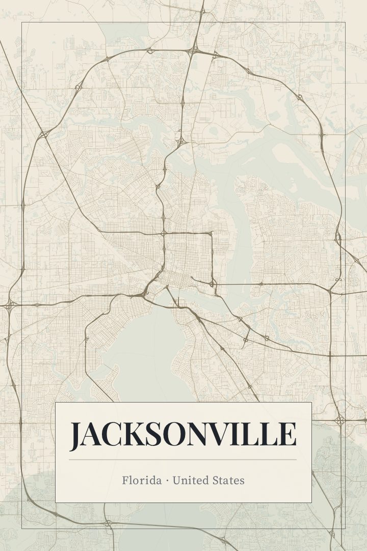
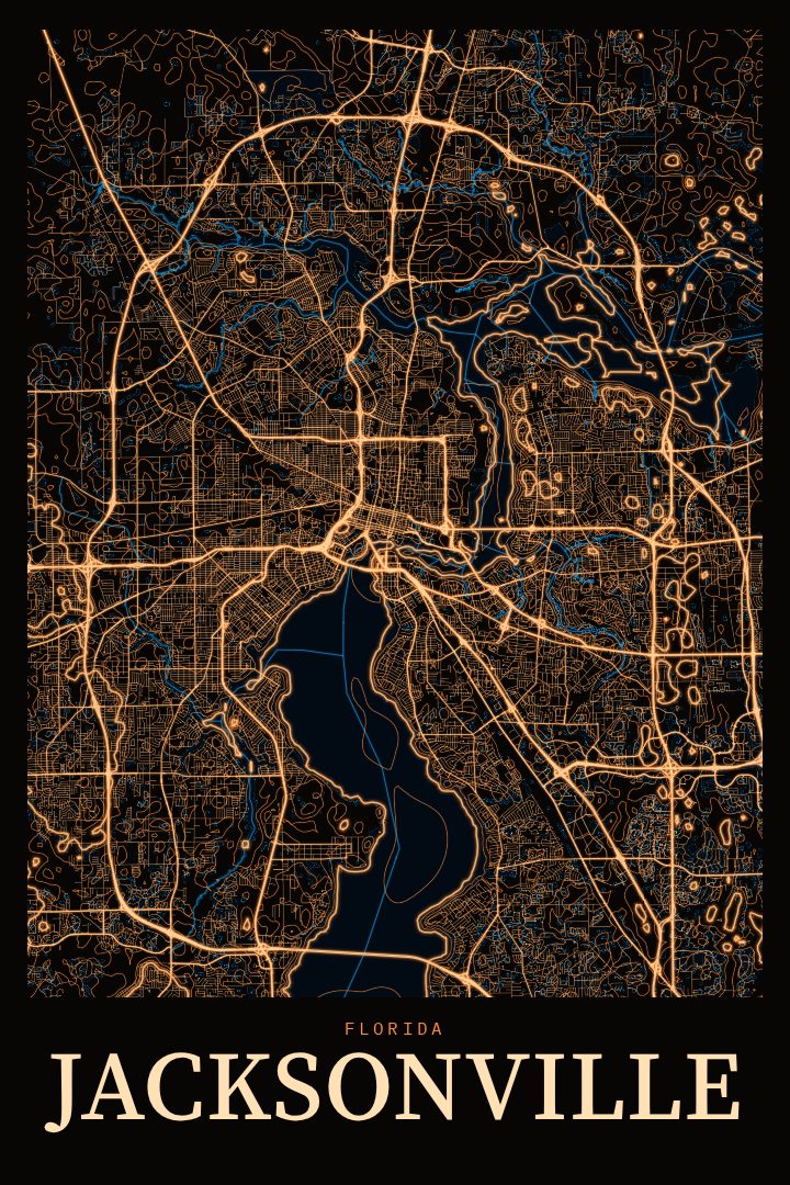
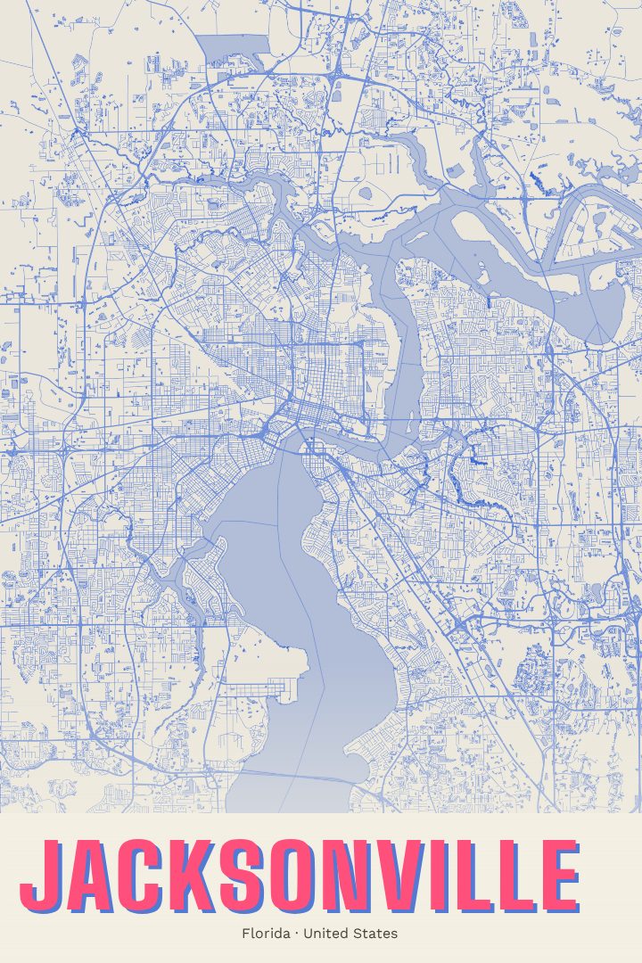
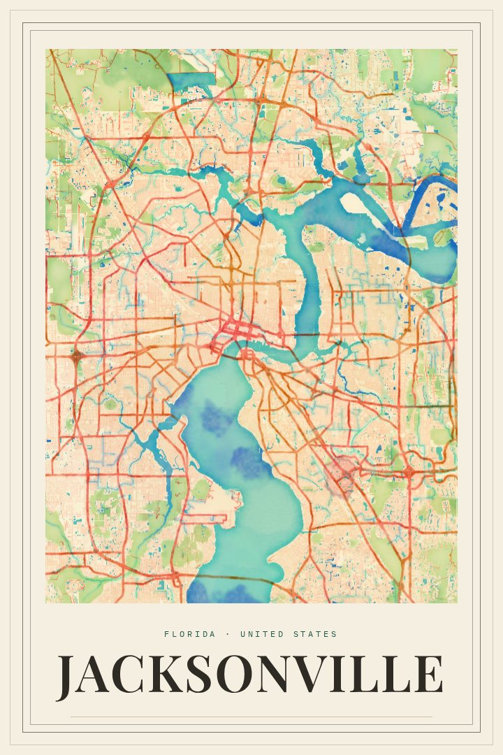
Jacksonville is a city shaped by water. The St. Johns River winds through its center on its way to the Atlantic, and bridges carry daily life from one bank to the other. Downtown sits along the river, and neighborhoods spread outward toward the beaches to the east, older districts to the south and west, and a great deal of open land in between. By area it is one of the largest cities in the country, so its street grid covers a lot of ground, with river bends, creeks, and marshland breaking it up.
This print renders Jacksonville in the Watercolor style, a design approach with soft color and gentle edges that suits a place where so much is defined by the river and the coast. It feels relaxed rather than technical, and it sits comfortably in a living room, a home office, or a hallway where a bit of hometown character is welcome.
It makes a thoughtful choice for anyone with a tie to the First Coast: people who grew up here, those who moved for work or the Navy, students who spent a few years in the city, or friends who have just bought their first home in Jacksonville. It also makes a warm gift for someone who has moved away and misses the river and the beaches. As with every RadMaps print, it is meant as decorative art for the wall, not as a guide for getting around town.
Make a custom map poster of your own routeDid it yourself? Make a poster from your own Strava activity
Route details
- Location
- Florida, United States
- Collection
- Cityscapes
Same city, different style
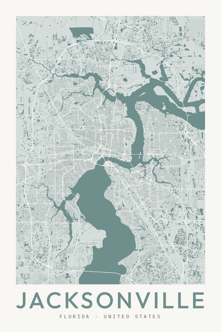
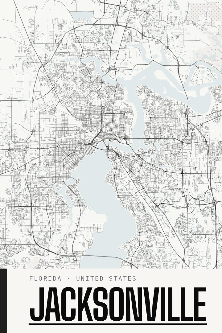
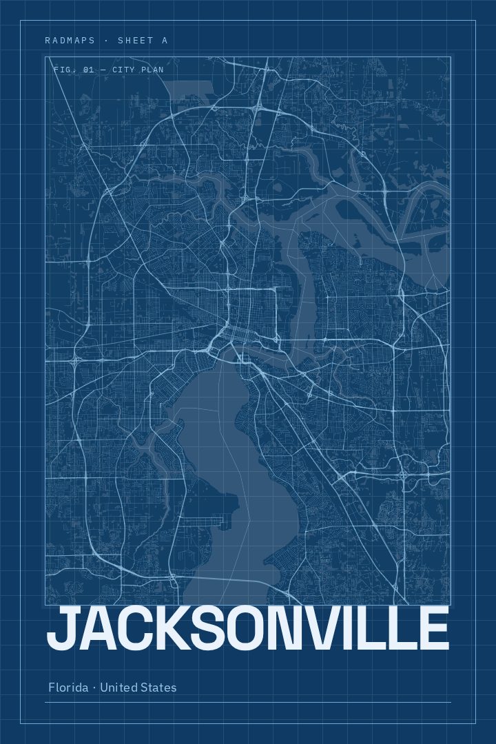
Jacksonville in every style
You might also like
Related map posters




Part of a collection