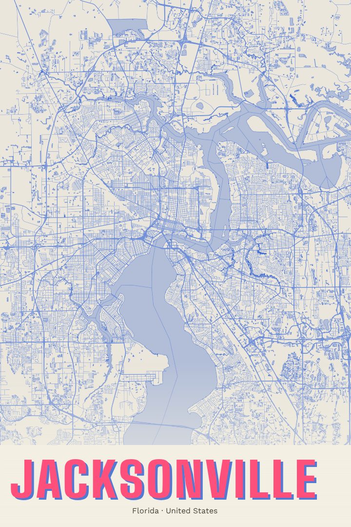
Shown at 16×24" · Archival Matte 250 gsm
Jacksonville City Map Poster
Overprint
About this print
Jacksonville map poster
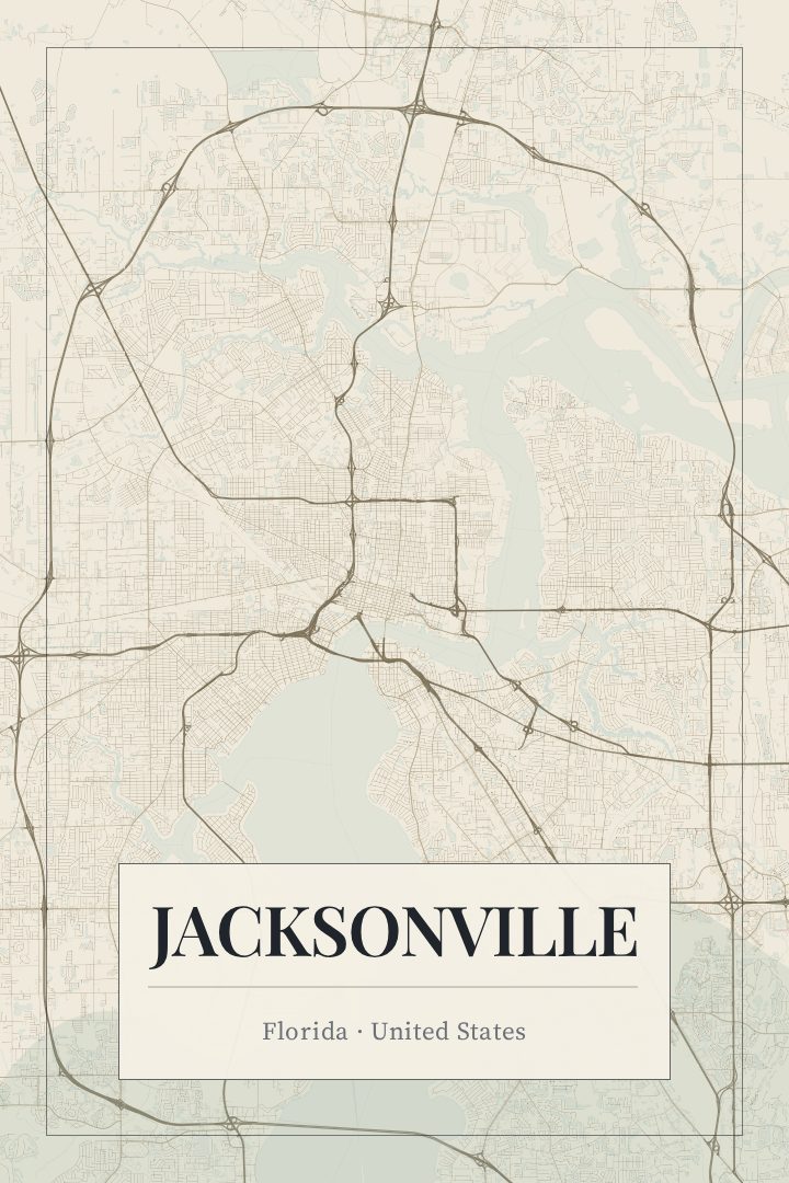
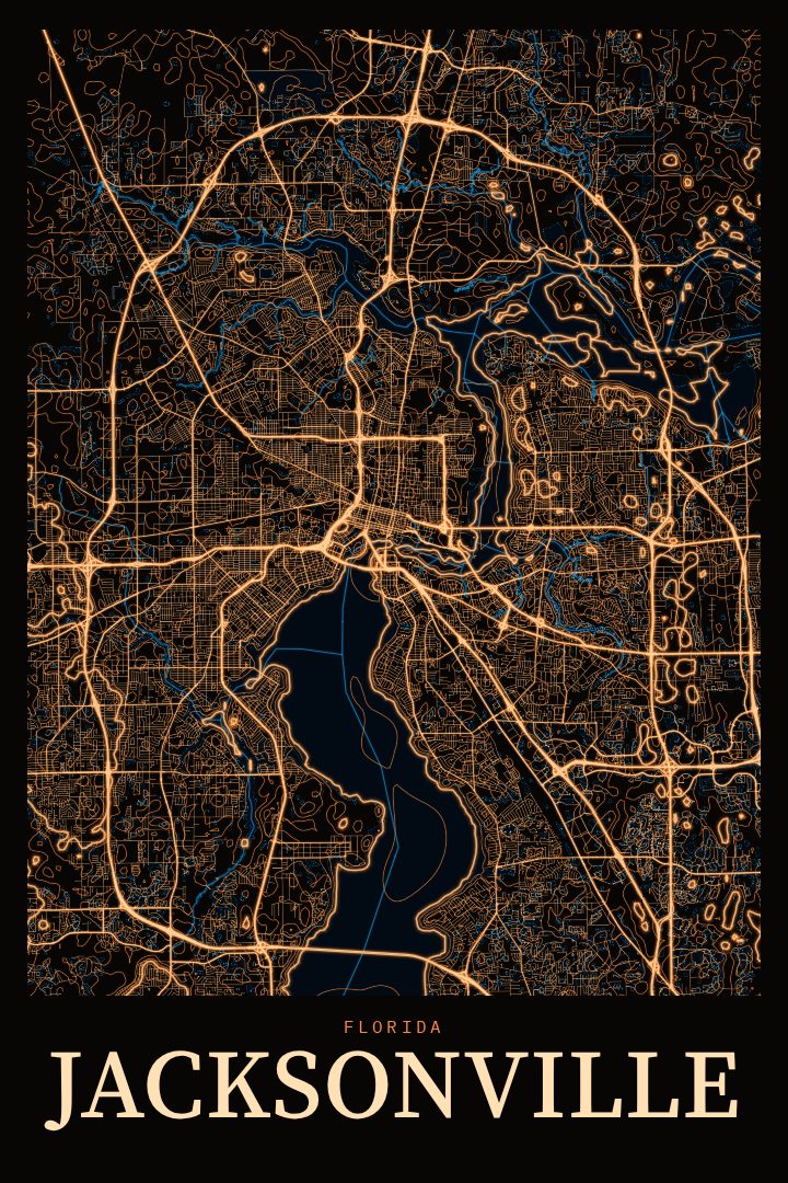
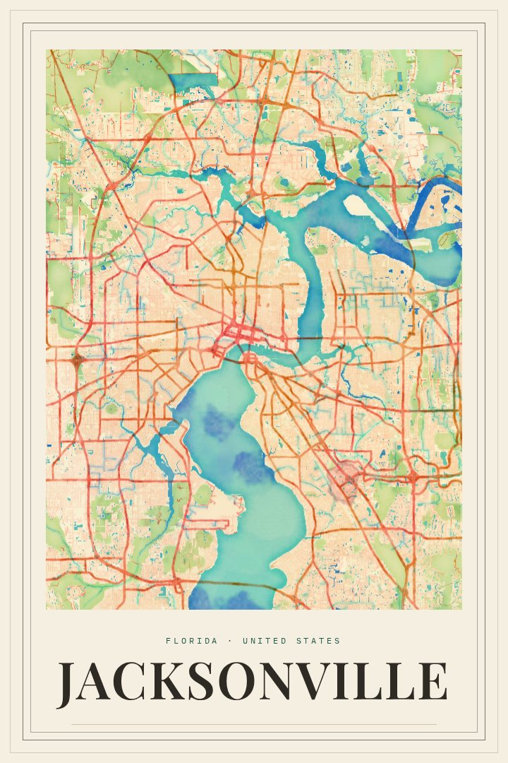
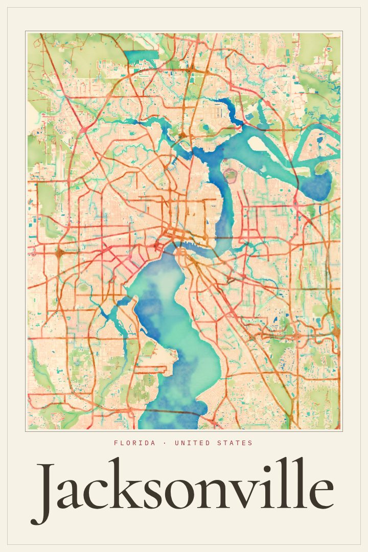
Jacksonville is a city shaped by water. The St. Johns River winds through its center on the way to the Atlantic, and much of everyday life arranges itself around crossing it, following its banks, or heading east toward the beaches. The city is also famously spread out, among the largest by land area in the contiguous United States, which gives its streets an unusual sense of reach, from the older neighborhoods close to downtown to the newer ones extending far toward the edges of the county.
This print presents Jacksonville, Florida in the Overprint style, a bold graphic design treatment that turns the city's street network into a piece of wall art rather than a reference map. The result reads as an abstract portrait of a place, with the character of the city coming through in the patterns its roads and waterways make. Like every RadMaps poster, it is decorative and not intended for navigation.
The print suits people with a real connection to the River City, whether they grew up there, moved away and still think of it as home, or arrived recently and want something on the wall that marks the change. It also makes a thoughtful gift for a graduation, a new job, or a housewarming in Jacksonville, and fits comfortably in a living room, office, or hallway alongside other prints from places that matter.
Make a custom map poster of your own routeDid it yourself? Make a poster from your own Strava activity
Route details
- Location
- Florida, United States
- Collection
- Cityscapes
Same city, different style
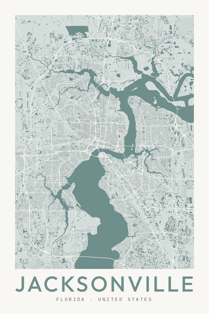
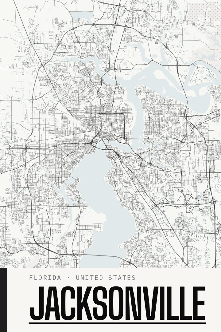
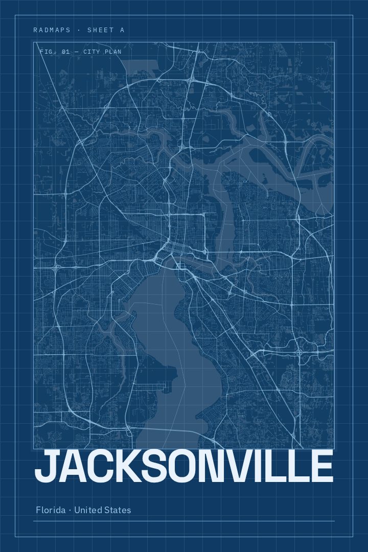
Jacksonville in every style
You might also like
Related map posters




Part of a collection