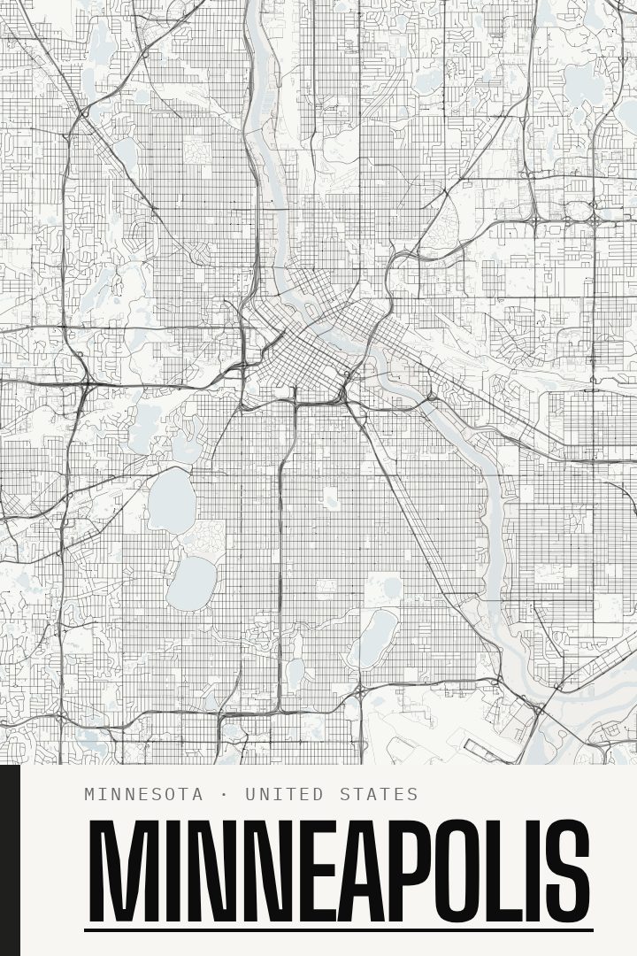
Shown at 16×24" · Archival Matte 250 gsm
Minneapolis City Map Poster
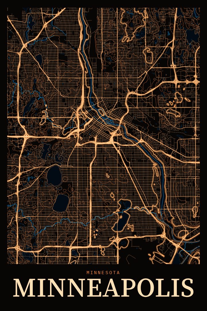
Blackline
About this print
Minneapolis map poster
Minneapolis is a city shaped by water. The Mississippi River runs through its center, past the stone arches of the Stone Arch Bridge and the old mill district that once made it a flour-milling capital, while the Chain of Lakes on the southwest side gives neighborhoods their own shorelines and paths. This print captures the city's street grid in the Blackline style, a bold, high-contrast design that lets the pattern of blocks, avenues, and waterways read clearly from across a room.
For anyone who has lived in Minneapolis, the city's shape tends to carry memories: biking the Grand Rounds, walking around Bde Maka Ska or Lake Harriet on a summer evening, crossing the river between downtown and the University of Minnesota, or bracing against a January wind on the way to the skyway. A street map can hold all of that without spelling any of it out. It works as a quiet reminder of home, a nod to a first apartment, or a marker of years spent in a place that grew familiar block by block.
The Blackline style suits a range of rooms, from a clean modern living space to an office or entryway, and it pairs easily with other prints in the cityscapes collection for anyone building a wall of places that matter. It also makes a thoughtful gift for a Minneapolis native living elsewhere, a recent graduate, or someone settling into the city for the first time. Like every RadMaps poster, it is meant as decorative art to enjoy on the wall, not as a guide for getting around.
Make a custom map poster of your own routeDid it yourself? Make a poster from your own Strava activity
Route details
- Location
- Minnesota, United States
- Collection
- Cityscapes
Same city, different style
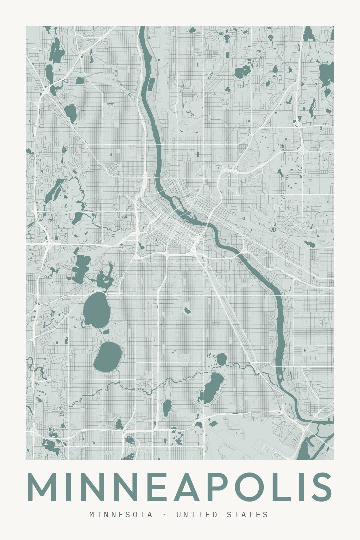
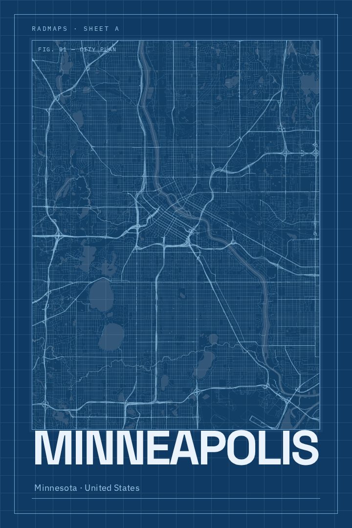
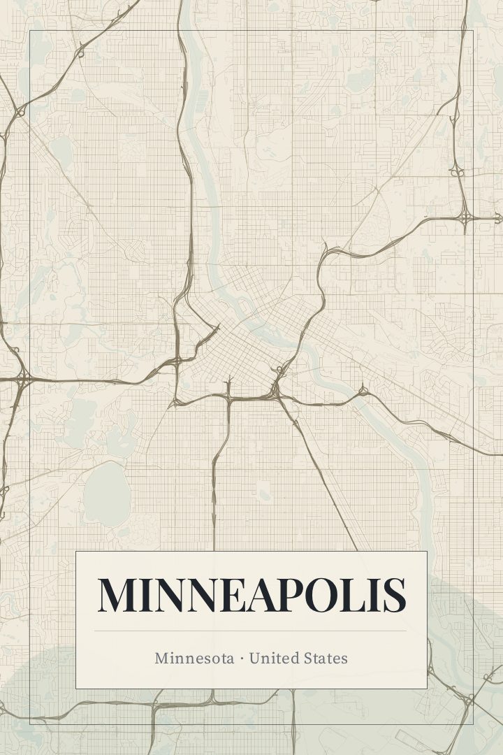
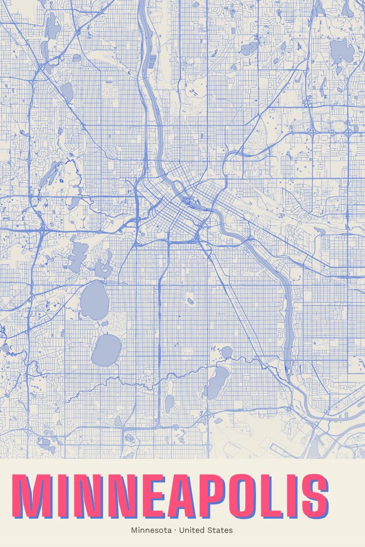
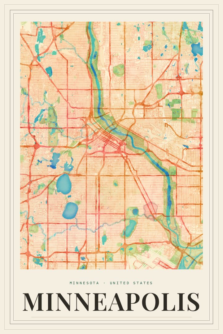
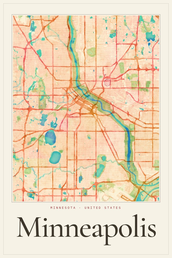
Minneapolis in every style
You might also like
Related map posters




Part of a collection