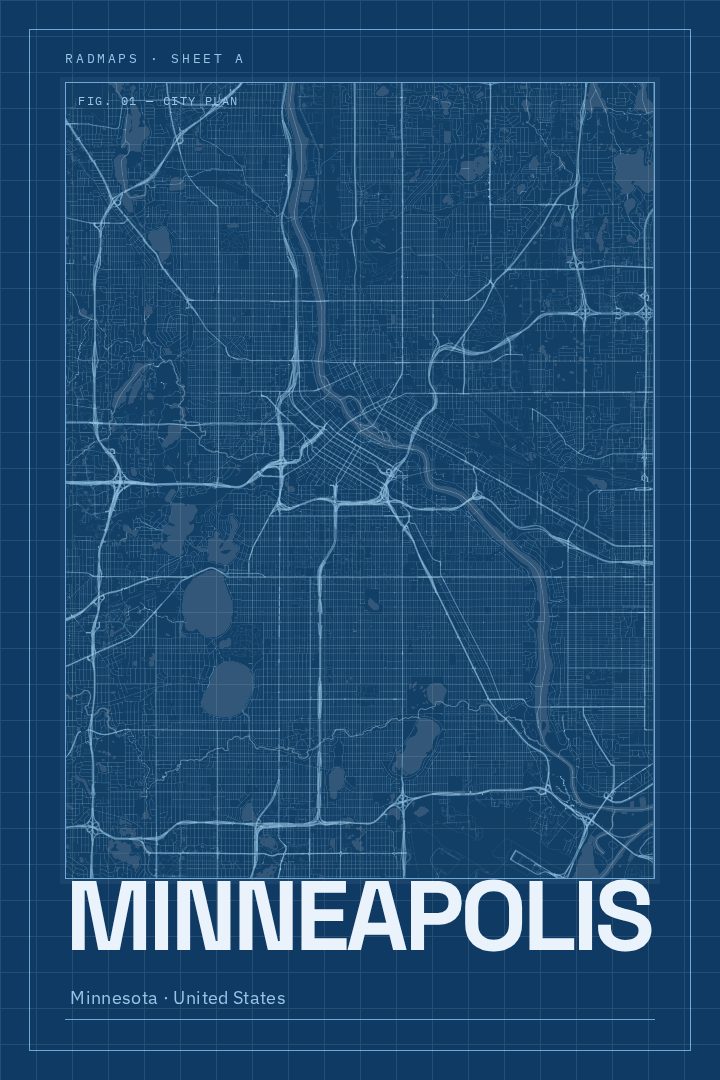
Shown at 16×24" · Archival Matte 250 gsm
Minneapolis City Map Poster
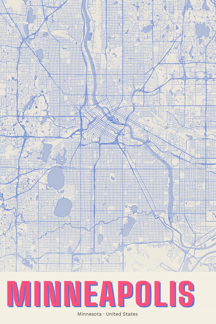
Blueprint
About this print
Minneapolis map poster
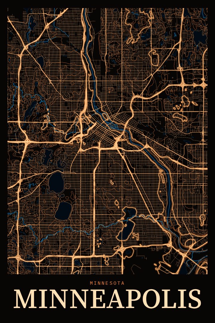
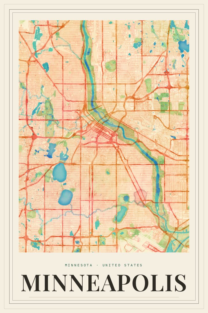
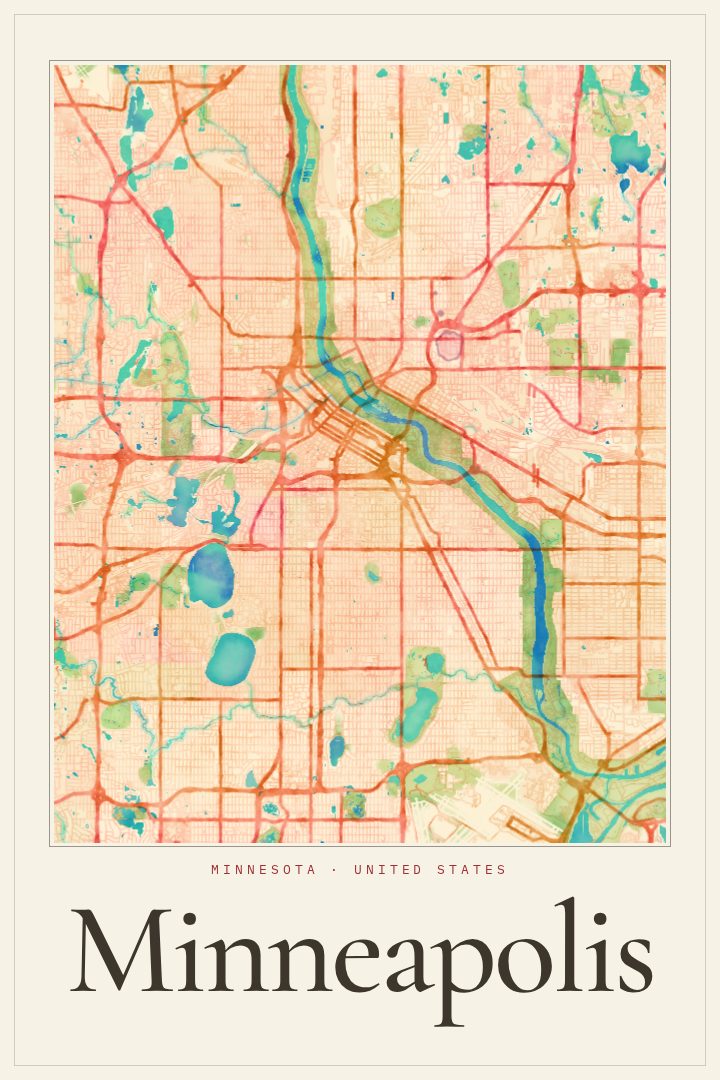
Minneapolis is a city shaped by water. The Mississippi River runs right through it, tumbling over St. Anthony Falls beside the old mill district, where the Stone Arch Bridge now carries walkers and cyclists from bank to bank. Farther southwest, the Chain of Lakes and a long ribbon of parkways give whole neighborhoods a shoreline feel, more than a thousand miles from any ocean. This print is a street map of Minneapolis, Minnesota, presented in the Blueprint style.
For people who live there, a street map holds a lot of ordinary history: the daily commute, the loop around a favorite lake, the block where a first apartment was, the route to a friend's porch on a summer night. For people who have moved away, it can be a quieter reminder of home than a skyline photo, something that rewards a closer look rather than announcing itself across the room. The Blueprint edition keeps things clean and measured, with a crisp, orderly character that suits a study, an entryway, or an office wall as easily as a living room.
It also makes a thoughtful gift for a new Minneapolis homeowner, a graduate heading off after years in the Twin Cities, or anyone who still checks the weather back home in January out of habit. As with every RadMaps print, it is meant as decorative art for the wall, not as a tool for navigating the city.
Make a custom map poster of your own routeDid it yourself? Make a poster from your own Strava activity
Route details
- Location
- Minnesota, United States
- Collection
- Cityscapes
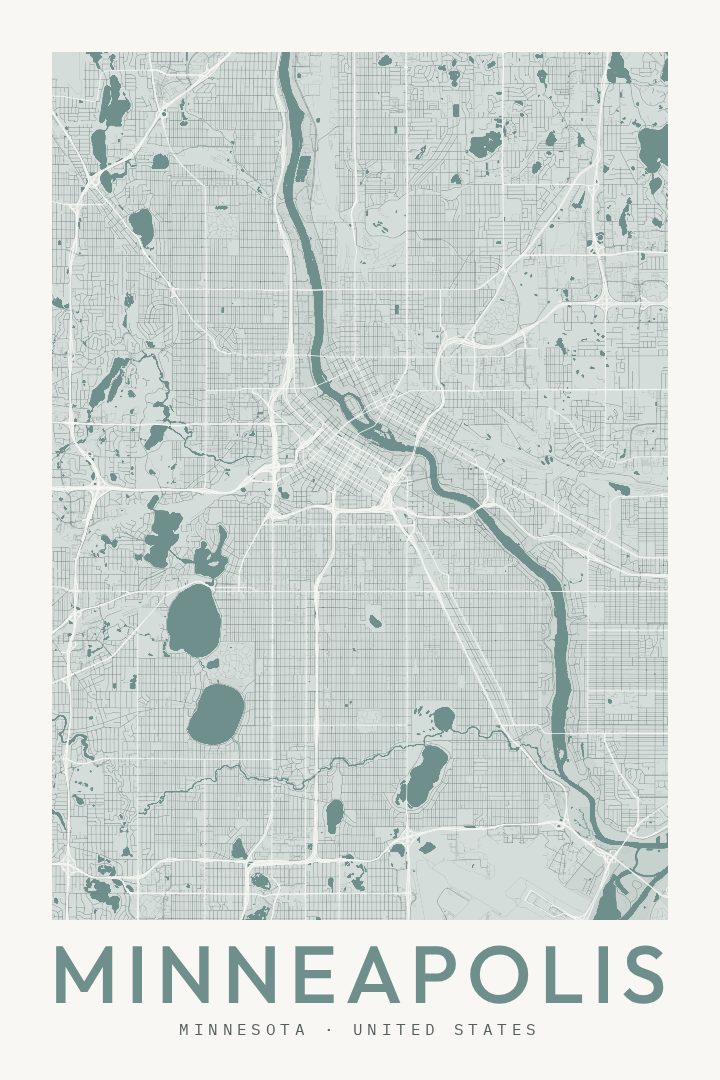
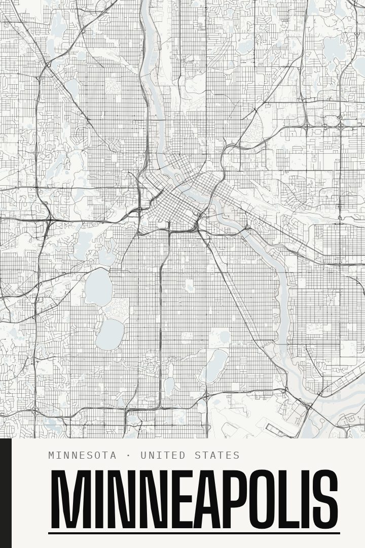
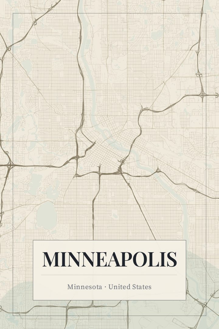
Same city, different style
Minneapolis in every style
You might also like
Related map posters




Part of a collection