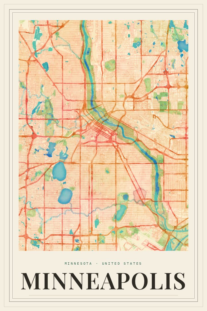
Shown at 16×24" · Archival Matte 250 gsm
Minneapolis City Map Poster
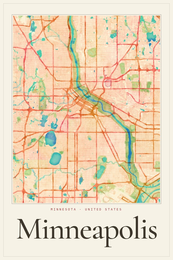
Painted Survey
About this print
Minneapolis map poster
Minneapolis is a city shaped by water. The Mississippi River cuts through its heart, dropping over St. Anthony Falls beside the old mill district, where the Stone Arch Bridge carries walkers and cyclists across the river. To the southwest, the Chain of Lakes draws runners, paddlers, and skaters through every season, and the parkways that link lakes, creeks, and riverbanks give the city a green thread that locals know well. Downtown, the skyways let people cross block to block without stepping into the cold, and across the river sits St. Paul, the other half of the Twin Cities.
This print presents Minneapolis in the Painted Survey style, a visual design that treats the street grid with a softer, painterly feel while keeping the clear structure of a map. It suits someone who grew up on these blocks, moved away and misses them, or arrived for school or work and stayed longer than planned. It also makes a thoughtful gift for a new homeowner, a graduate, or anyone whose story runs through Minnesota's largest city.
It is made to be enjoyed as decorative art on a wall, not as a tool for finding a way around town. Hung in a hallway, an office, or above a desk, it offers a quiet reminder of a particular place: frozen lakes in January, long evenings by the river in July, and the neighborhoods in between.
Make a custom map poster of your own routeDid it yourself? Make a poster from your own Strava activity
Route details
- Location
- Minnesota, United States
- Collection
- Cityscapes
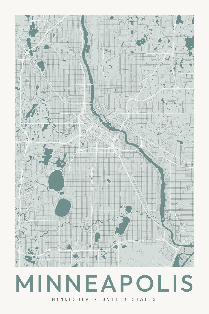
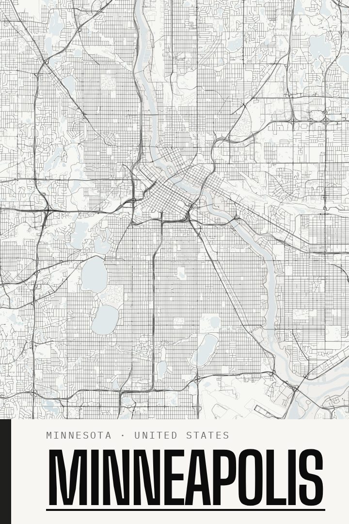
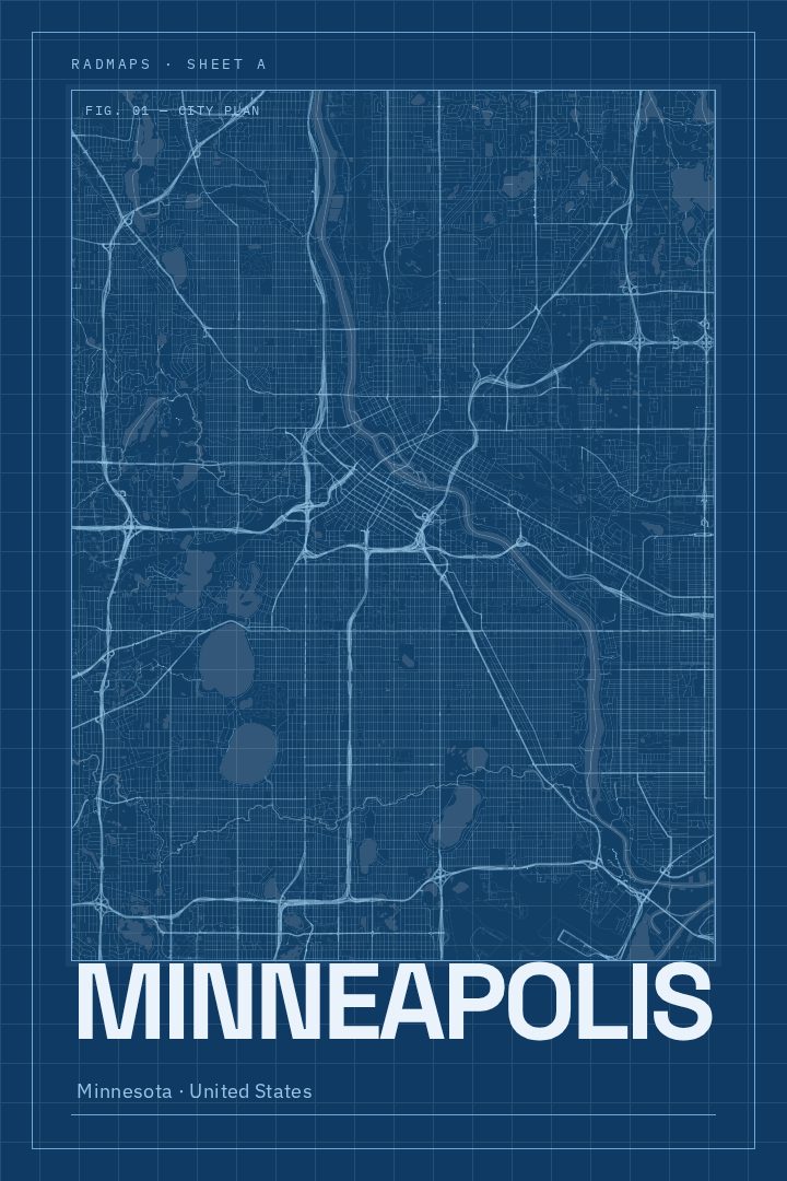
Same city, different style
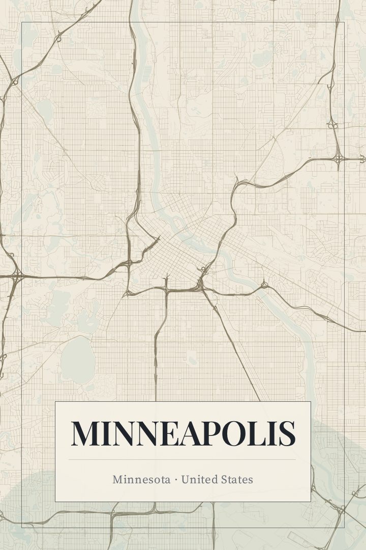
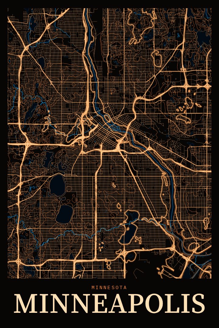
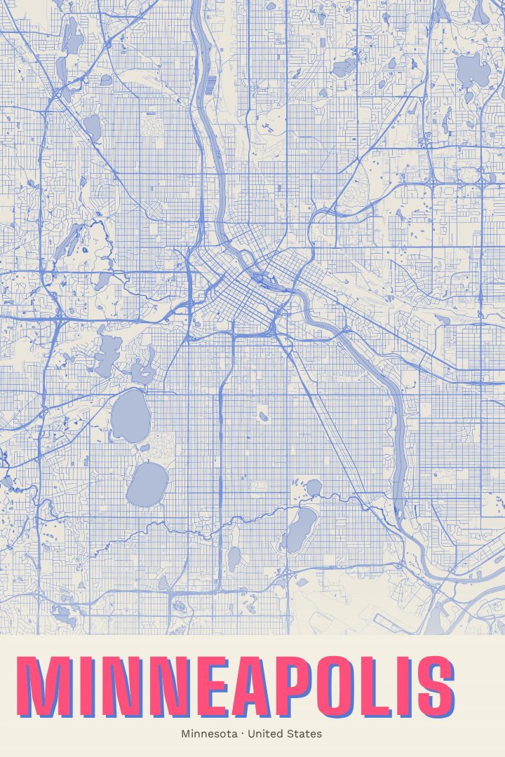
Minneapolis in every style
You might also like
Related map posters




Part of a collection