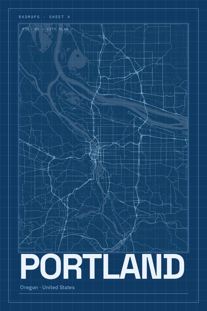
Shown at 16×24" · Archival Matte 250 gsm
Portland City Map Poster
Blueprint
About this print
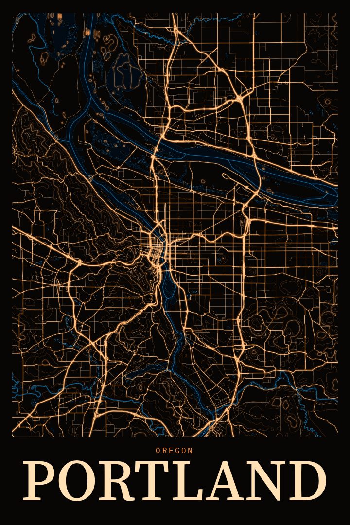
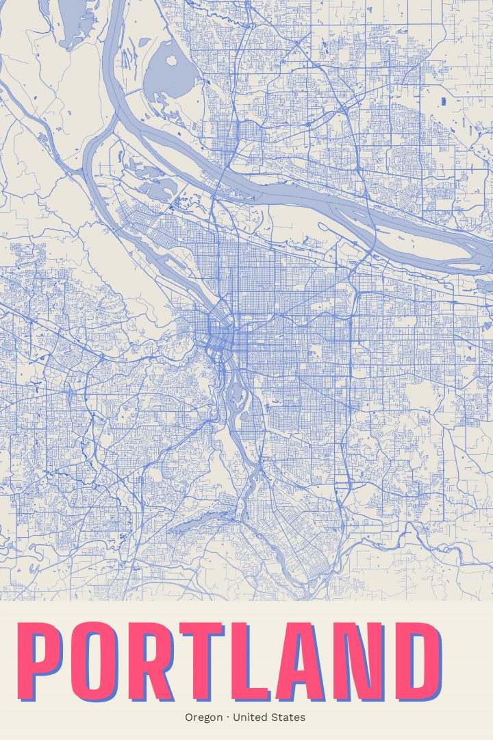
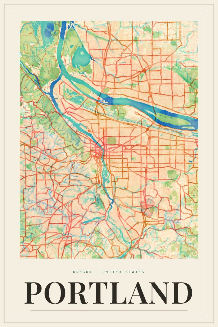
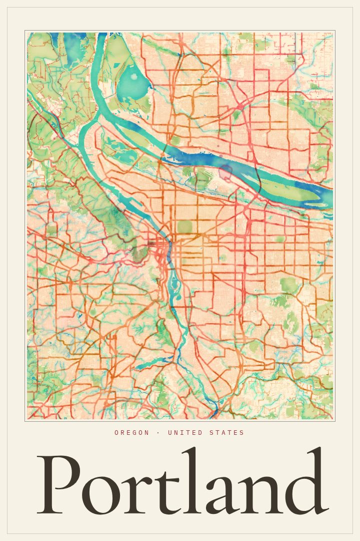
Portland map poster
Portland is a city shaped by water and bridges. The Willamette River runs through its middle, dividing east from west, and a long run of bridges stitches the two sides together. Not far to the north, the Columbia River marks the edge of the state. Neighborhoods carry their own character, from the compact blocks downtown to the residential streets that spread out across the east side. Forest Park stretches across the hills to the northwest, one of the largest urban forests in the country, and on a clear day Mount Hood rises to the east.
This Portland, Oregon street map poster is drawn in the Blueprint style, a visual design that gives the city's layout the clean, technical feel of a drafting sheet. It suits a city whose grid, river crossings and hillside streets reward a closer look. As a piece for the wall, it works in a home office, a hallway, or a living room where it can quietly start a conversation about a favorite coffee shop, a first apartment, or a weekend spent crossing bridges on foot or by bike.
For someone who grew up in Portland, moved away, or just arrived, a map of the city can hold a lot of memory without saying much. It also makes a thoughtful gift for a friend leaving town or settling in. The print is meant as decorative art rather than a guide for getting around, so it belongs on the wall, not in the glove box. The available options are listed on this page.
Make a custom map poster of your own routeDid it yourself? Make a poster from your own Strava activity
Route details
- Location
- Oregon, United States
- Collection
- Cityscapes
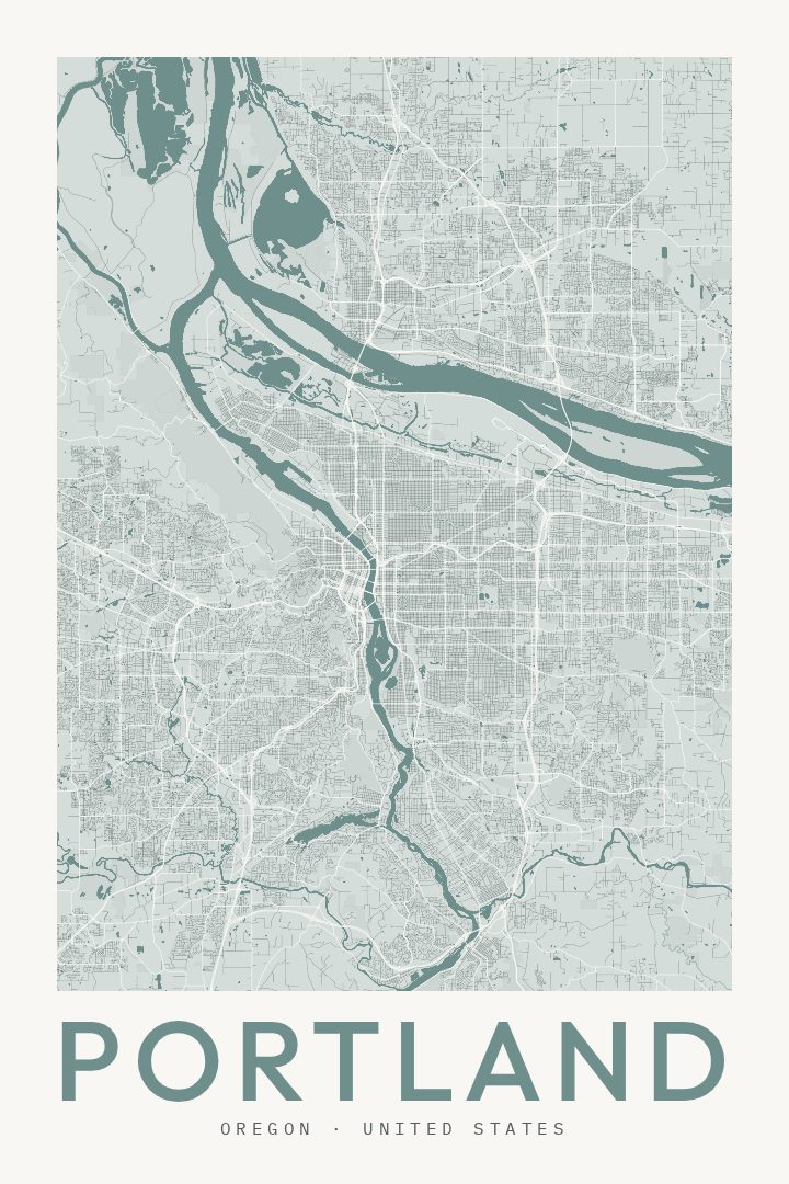
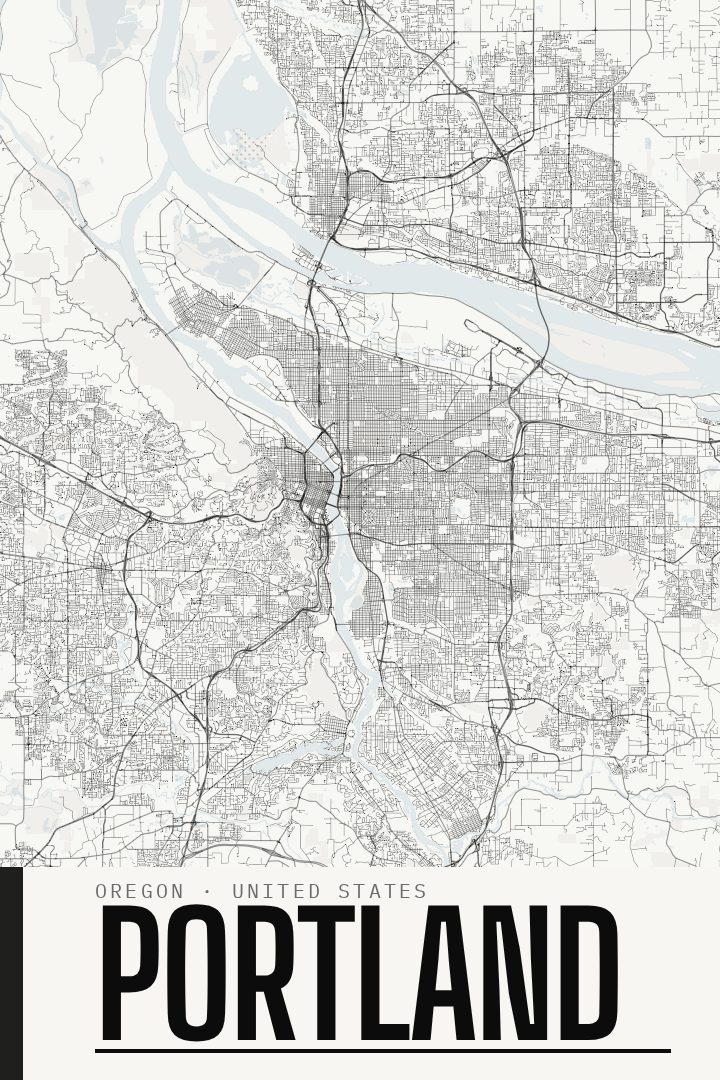
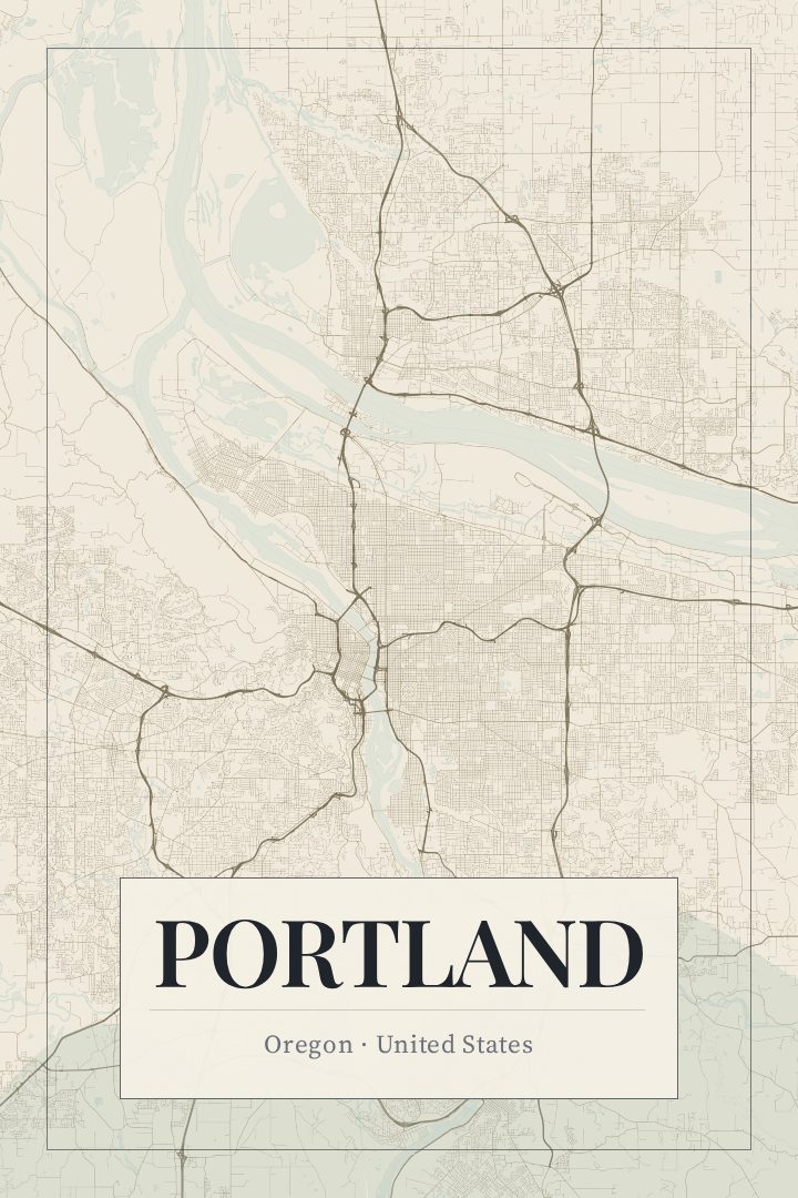
Same city, different style
Portland in every style
You might also like
Related map posters




Part of a collection