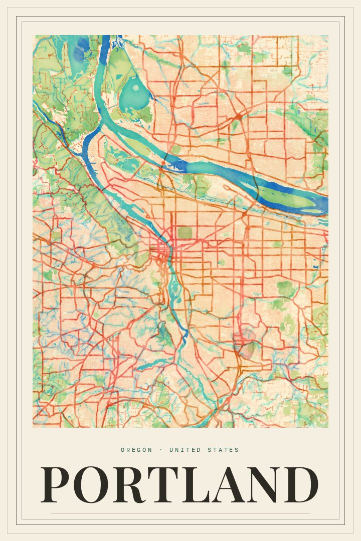
Shown at 16×24" · Archival Matte 250 gsm
Portland City Map Poster
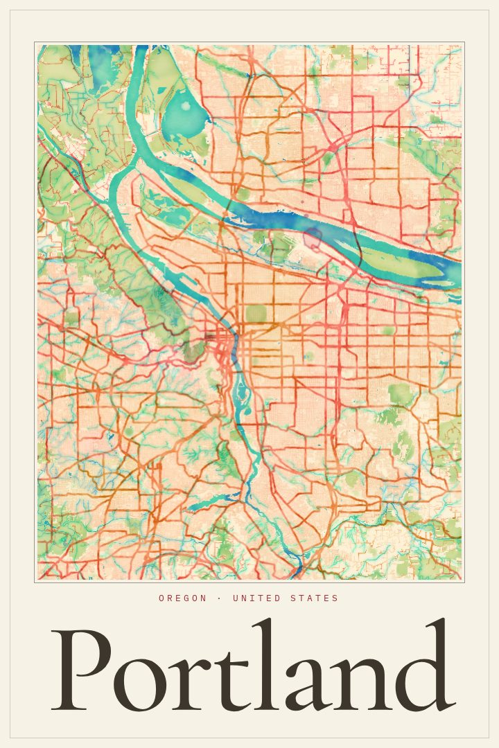
Painted Survey
About this print
Portland map poster
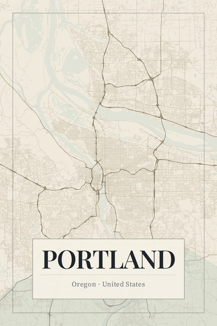
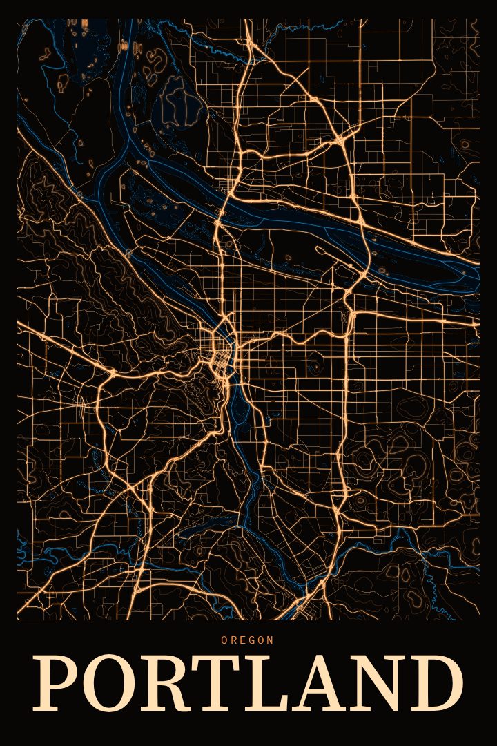
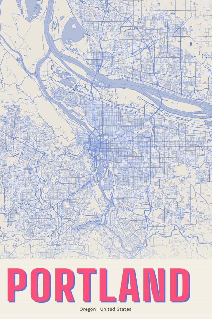
Portland is a city defined as much by its rivers and hills as by its streets. The Willamette River runs through the middle of town, crossed by a long run of bridges that give the city one of its best-known nicknames, and the Columbia marks its northern edge. On the west side, the land climbs into the forested ridges of the West Hills and the long green reach of Forest Park, while the east side spreads out in a steady grid of neighborhoods, corner cafes, and tree-lined blocks. On a clear day, Mount Hood shows up on the horizon, a reminder of how close the mountains are.
This print presents Portland, Oregon in the Painted Survey style, a design that brings a soft, painterly feel to the precise geometry of a street map. The result reads less like a document and more like a piece of art, one that suits a living room, a hallway, or a home office where a plain map might feel too technical. It is made to be looked at and enjoyed, not to plan a route across town.
For anyone who grew up in Portland, moved there and stayed, or left and still thinks about it, a city map holds a lot of quiet memory. It might bring back a first apartment, a favorite bridge to bike across, a bookstore afternoon, or a walk through the park on a gray, misty morning. It also makes a thoughtful gift for someone heading off to a new chapter in the city, or for someone who carries a piece of the Rose City with them wherever they live now.
Make a custom map poster of your own routeDid it yourself? Make a poster from your own Strava activity
Route details
- Location
- Oregon, United States
- Collection
- Cityscapes
Same city, different style
Portland in every style
You might also like
Related map posters




Part of a collection