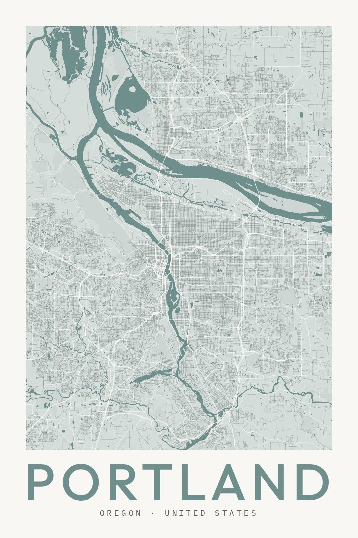
Shown at 16×24" · Archival Matte 250 gsm
Portland City Map Poster
Classic
About this print
Portland map poster
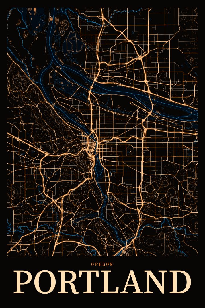
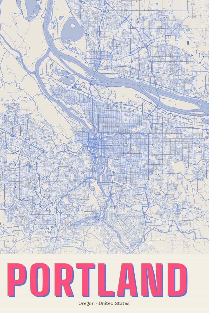
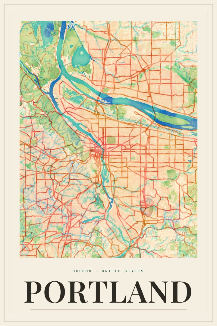
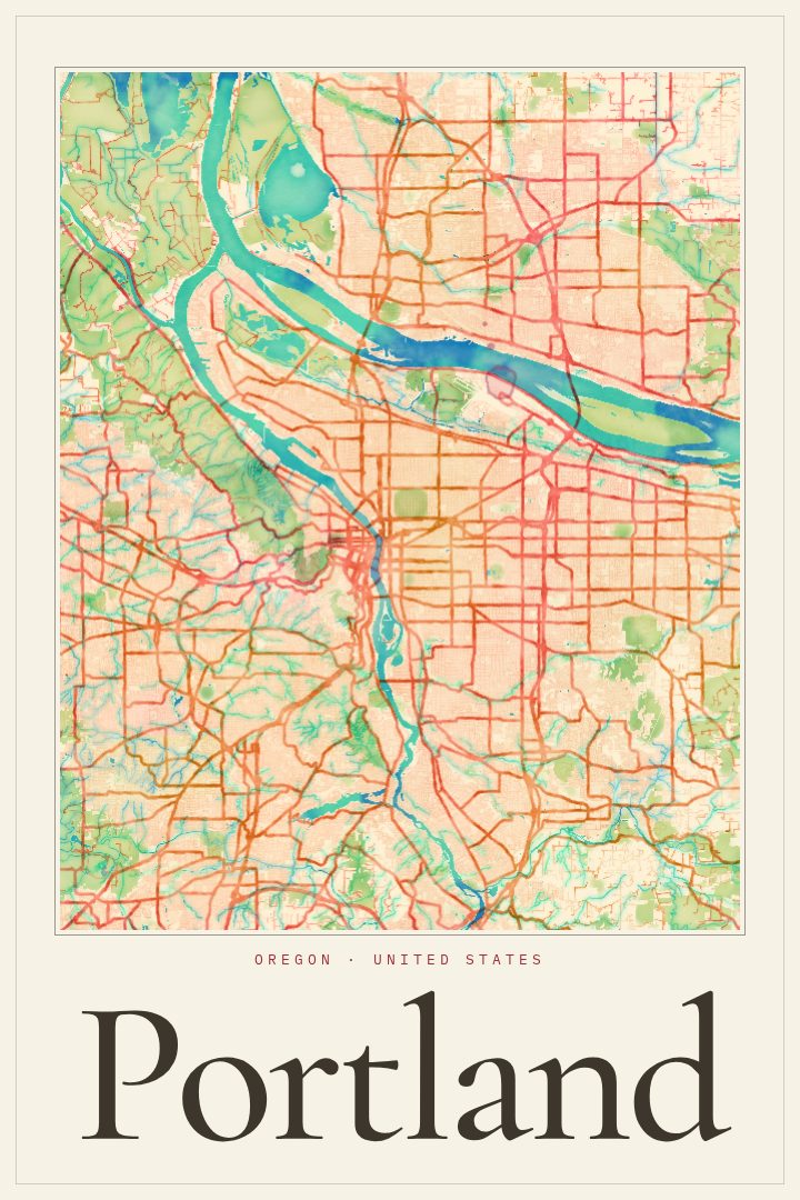
Portland is a city defined by its river. The Willamette runs through the middle of town, splitting east from west, and a long run of bridges stitches the two sides back together, which is part of why locals sometimes call it Bridgetown. Just north, the Willamette meets the Columbia, and on clear days Mount Hood rises to the east. This Classic-style street map poster celebrates that layout as a piece of decorative art for a wall at home or at work.
The city's character comes through in its streets. Downtown's compact blocks give way to leafy residential neighborhoods, and the street grid carries a sense of order that Portlanders tend to know by heart. On the west side, the land climbs into the West Hills and the wooded expanse of Forest Park, one of the larger urban forests in the country. The east side spreads out in a patchwork of neighborhoods known for coffee shops, food carts, bookstores and front porches. It is a city people walk, bike and wander, and many come to know it street by street.
A Portland map makes a fitting gift for someone who grew up there, moved away, or recently arrived and is still learning the way across the river. It also suits anyone who simply loves the place: a reminder of a first apartment, a favorite neighborhood, or a weekend spent exploring. The Classic style keeps the focus on the shape of the city itself. Please note that this poster is meant for display, not navigation. Available options are listed on this page.
Make a custom map poster of your own routeDid it yourself? Make a poster from your own Strava activity
Route details
- Location
- Oregon, United States
- Collection
- Cityscapes
Same city, different style
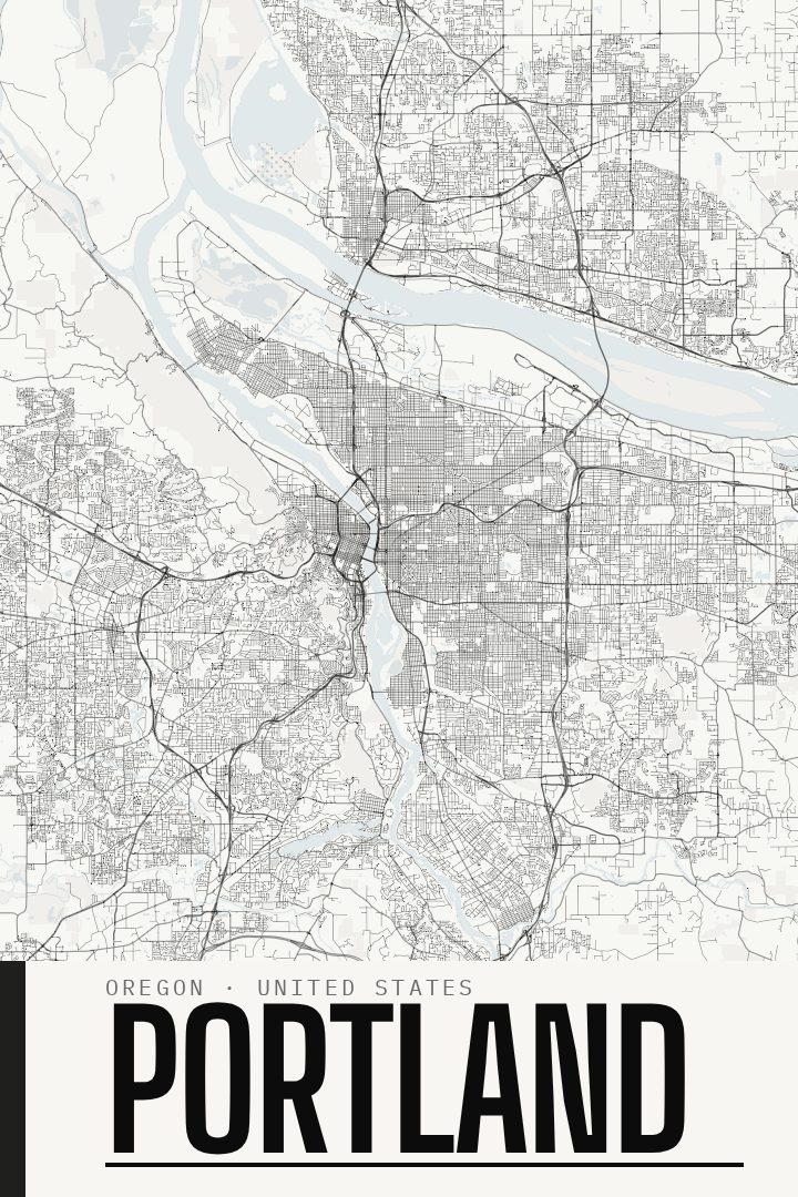
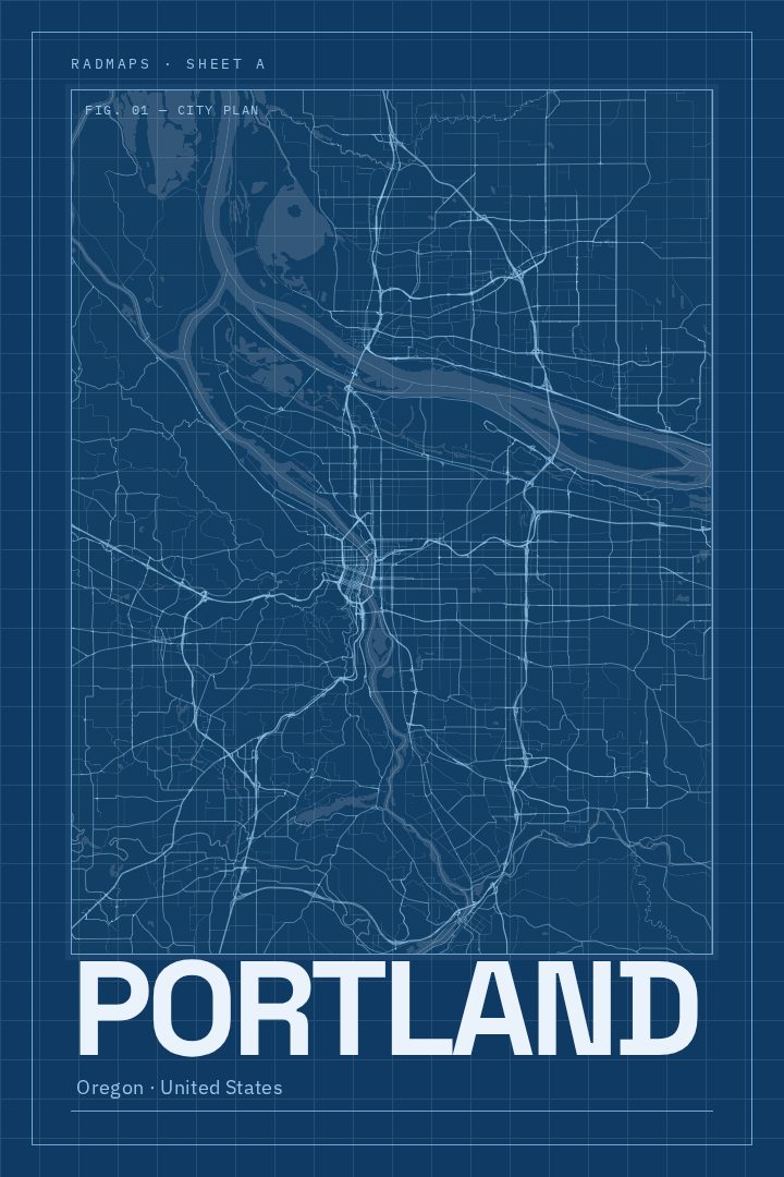
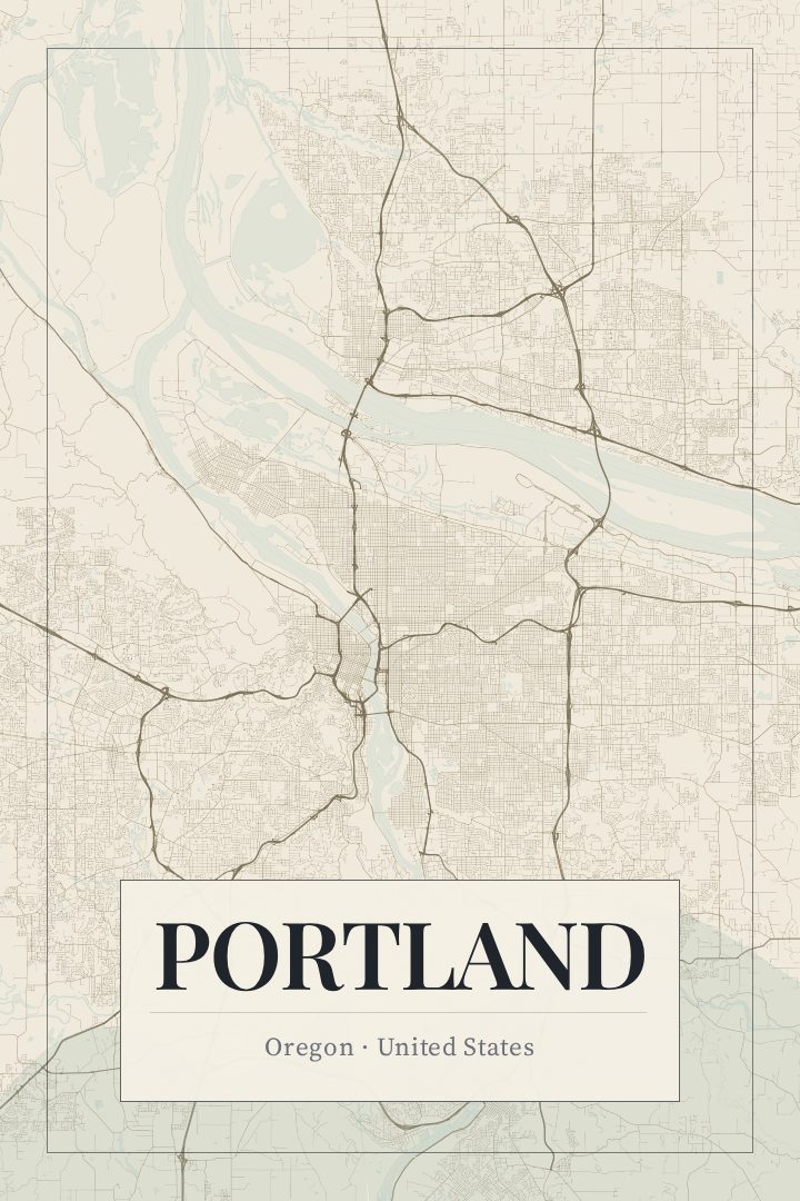
Portland in every style
You might also like
Related map posters




Part of a collection