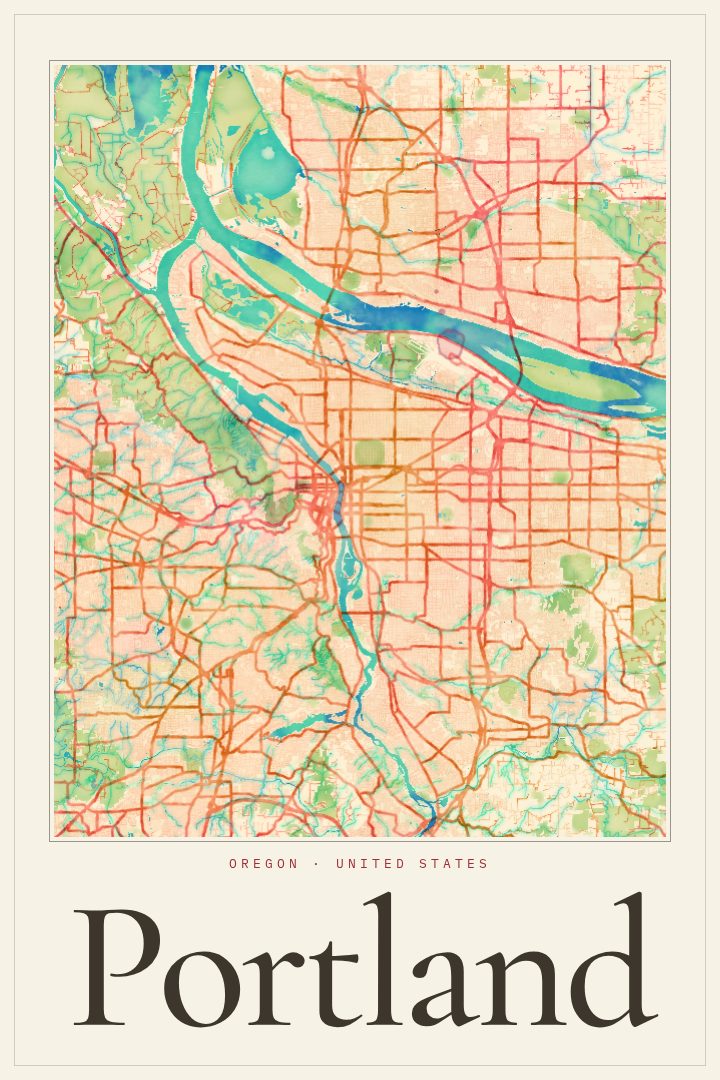
Shown at 16×24" · Archival Matte 250 gsm
Portland City Map Poster
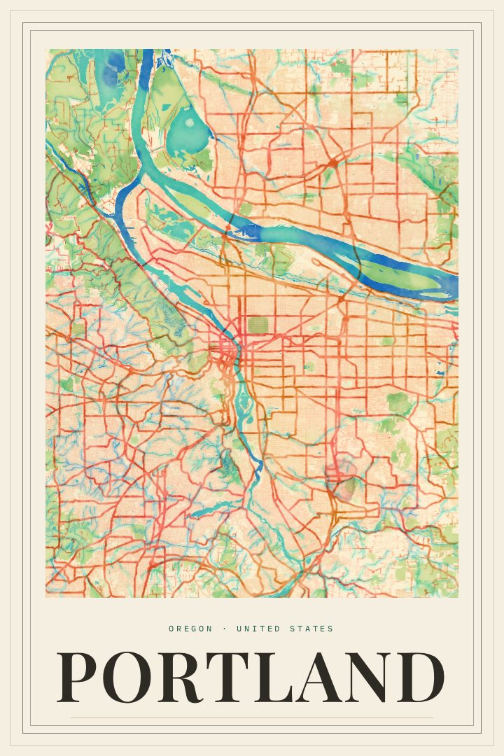
Watercolor
About this print
Portland map poster
Portland sits where the Willamette River meets the Columbia, a city split east and west by water and stitched back together by a long run of bridges. It is a place people tend to know at street level: by bicycle, on foot, or by streetcar, moving between neighborhoods that each keep their own character. Forest Park spreads across the hills on the west side, while the east side unrolls in a steady grid of houses, corner shops, and tree-lined blocks. Clear days bring Mount Hood into view on the horizon, a reminder of how close the mountains and the rest of the Oregon landscape really are.
This print renders Portland, Oregon as a street map in the Watercolor style, a soft and painterly look that suits a city known for gray skies, green parks, and rain that rarely stops anyone from heading out. The style keeps the feel of the place without making it feel like a technical chart. It is a piece of decorative art for a wall, not a map for finding a way across town.
For someone who grew up in Portland, moved away, or just moved in, a map of the city can hold a lot: the walk to a first apartment, a favorite coffee stop, the bridge crossed every morning on the way to work. It also makes a thoughtful gift for a friend leaving Oregon or settling into a new life there. The Watercolor edition works well in a living room, a hallway, or a home office, anywhere a quieter, warmer take on a city map would feel at home.
Make a custom map poster of your own routeDid it yourself? Make a poster from your own Strava activity
Route details
- Location
- Oregon, United States
- Collection
- Cityscapes
Same city, different style
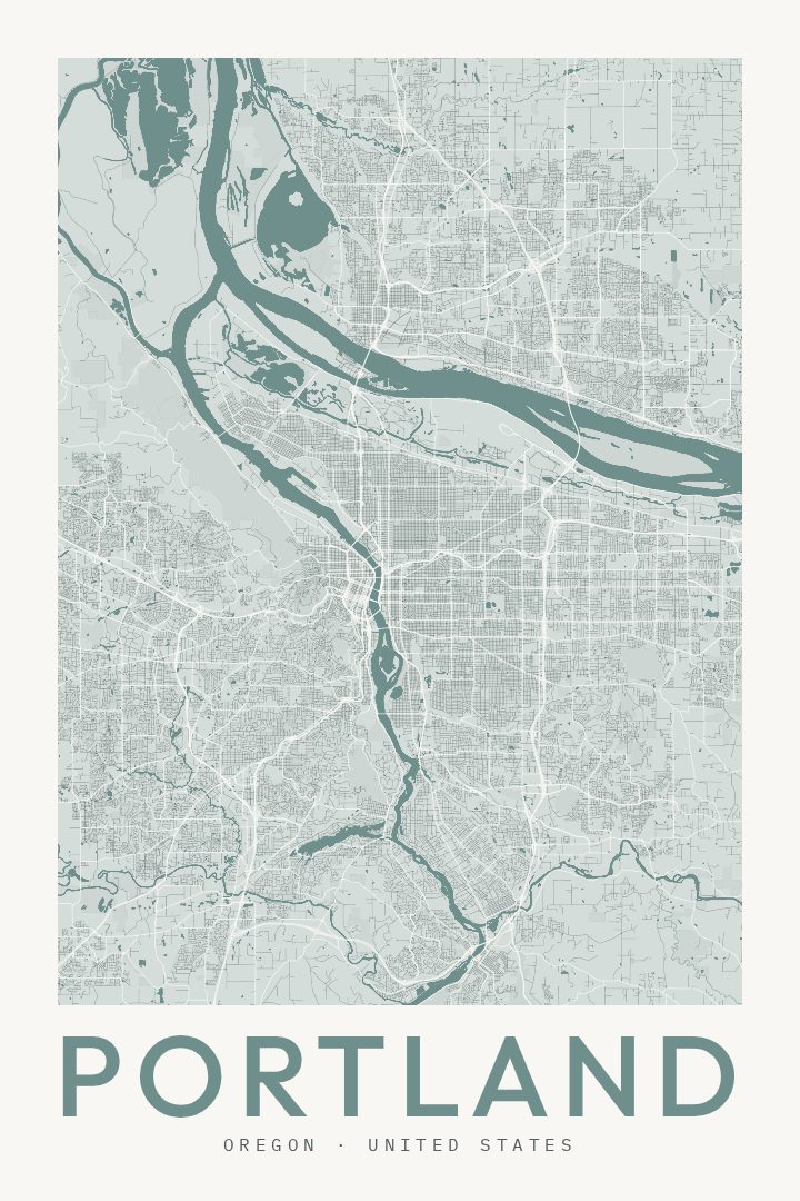
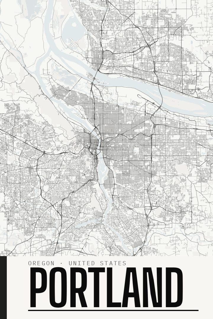
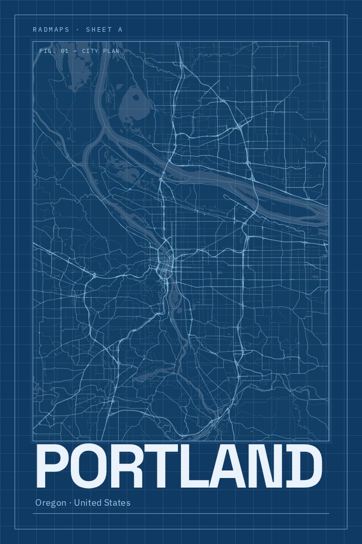
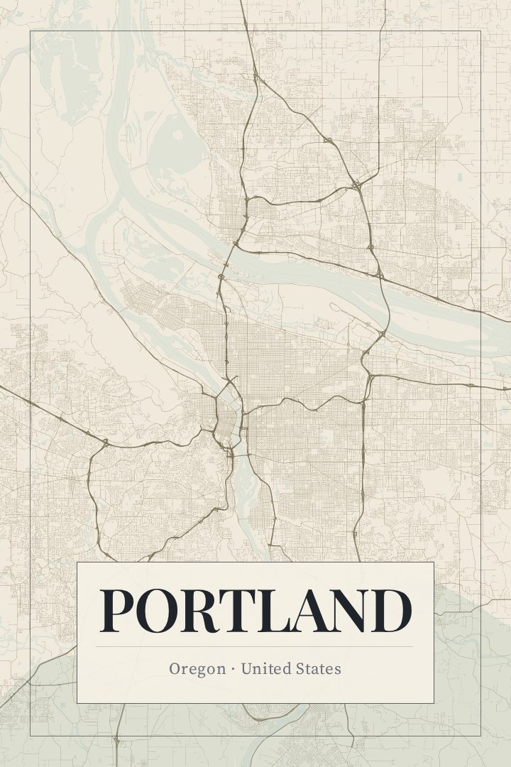
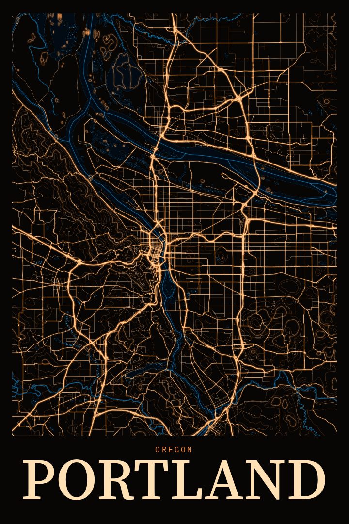
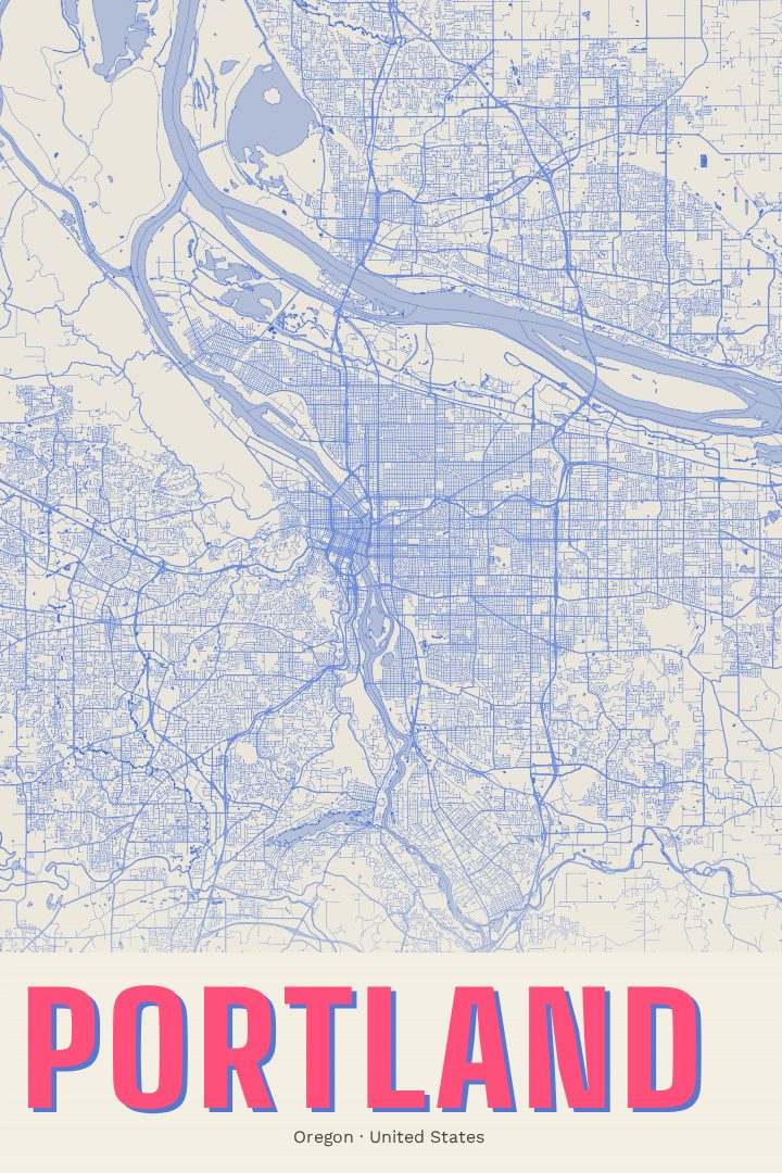
Portland in every style
You might also like
Related map posters




Part of a collection