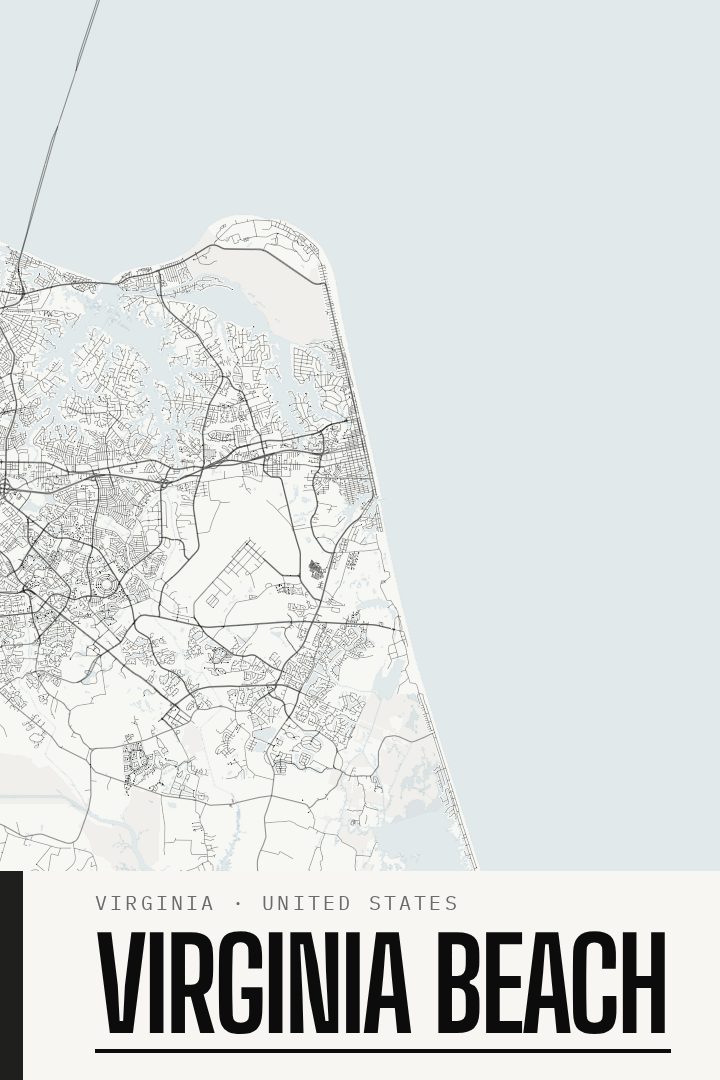
Shown at 16×24" · Archival Matte 250 gsm
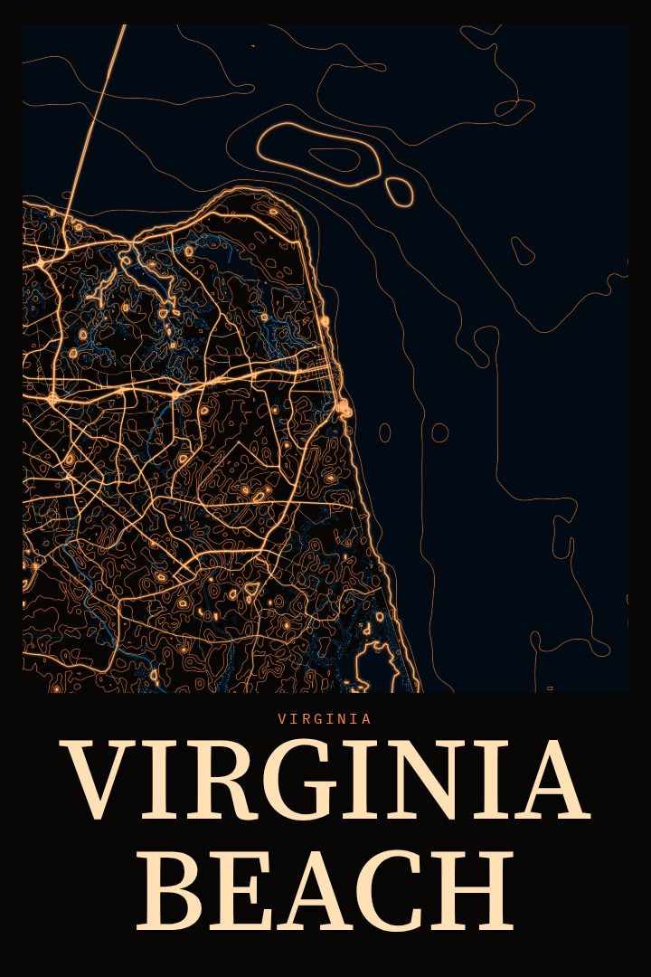
Virginia Beach City Map Poster
Blackline
About this print
Virginia Beach map poster
Virginia Beach sits where the Chesapeake Bay meets the Atlantic Ocean, a long stretch of coastline that has drawn summer crowds, military families, surfers and retirees for generations. It is the largest city in Virginia by population, and part of the wider Hampton Roads region. For many people it is the oceanfront and the boardwalk; for others it is a quiet neighborhood street a few miles inland, a base assignment that turned into a home, or the place a family returned to every August.
This poster presents Virginia Beach as a street map in the Blackline style, a design approach built on strong, dark linework and a restrained palette. The style suits a city shaped so clearly by water. Coastline, bay and inland waterways give the street grid its edges, and a clean graphic treatment lets that structure carry the image without much else competing for attention. It reads well from across a room and still rewards a closer look.
As a gift, it fits someone who grew up here, moved away and still thinks of the coast as home, or someone just settling in after a move. It also works for anyone who spent formative years stationed in the area, or who simply has a long history of beach vacations along this shore. Hung in a hallway, an office or a living room, it is a quiet reminder of a specific place rather than a generic beach print. It is meant as decorative art, not a map to navigate by.
Make a custom map poster of your own routeDid it yourself? Make a poster from your own Strava activity
Route details
- Location
- Virginia, United States
- Collection
- Cityscapes
Same city, different style
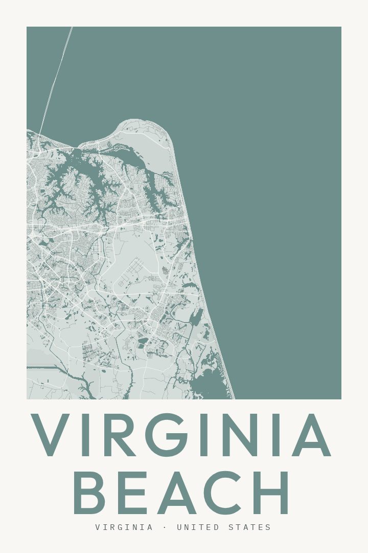
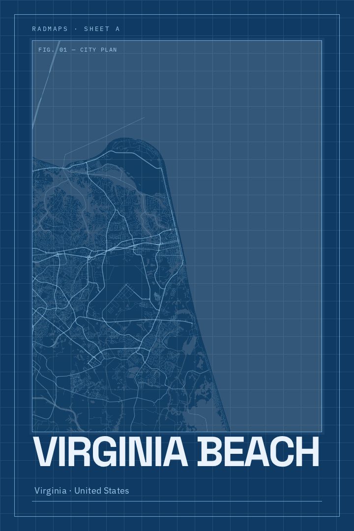
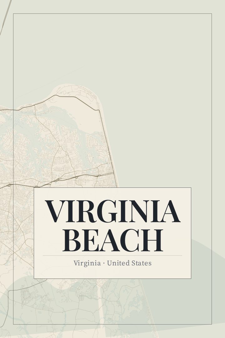
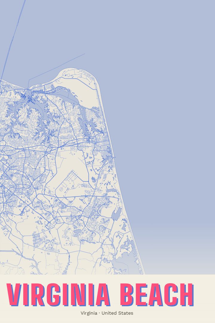
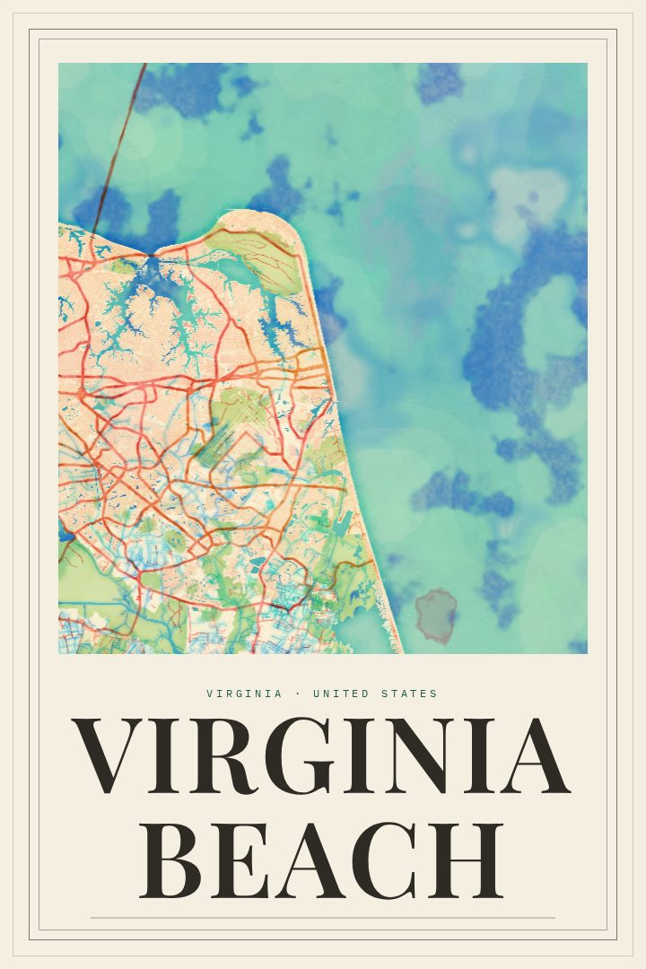
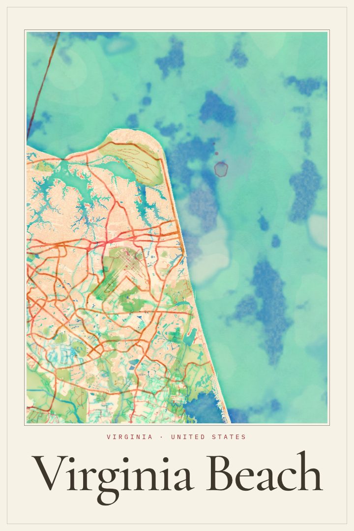
Virginia Beach in every style
You might also like
Related map posters




Part of a collection