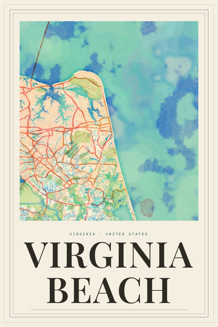
Shown at 16×24" · Archival Matte 250 gsm
Virginia Beach City Map Poster
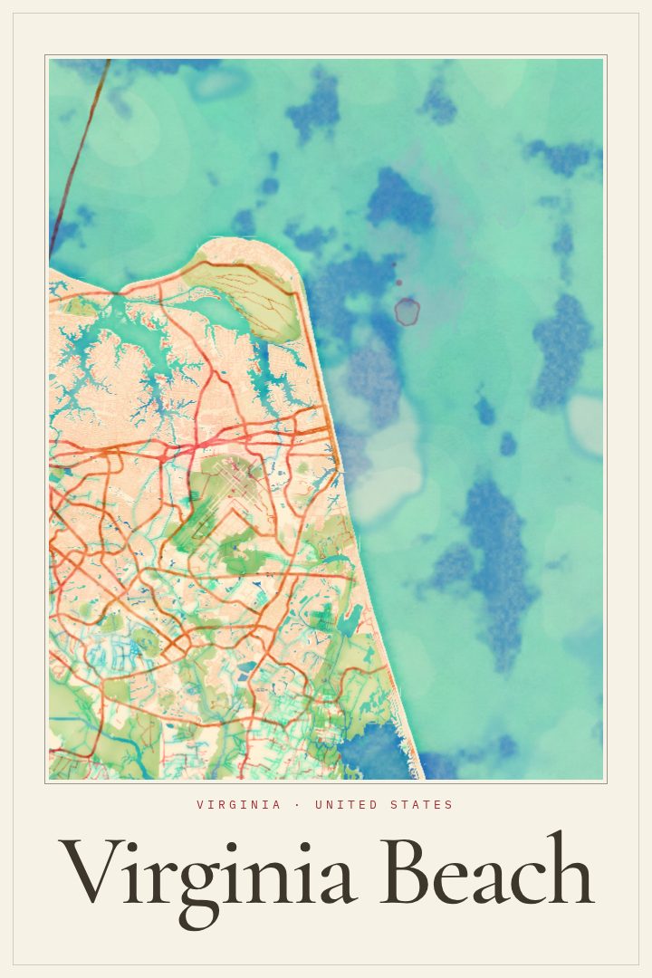
Painted Survey
About this print
Virginia Beach map poster
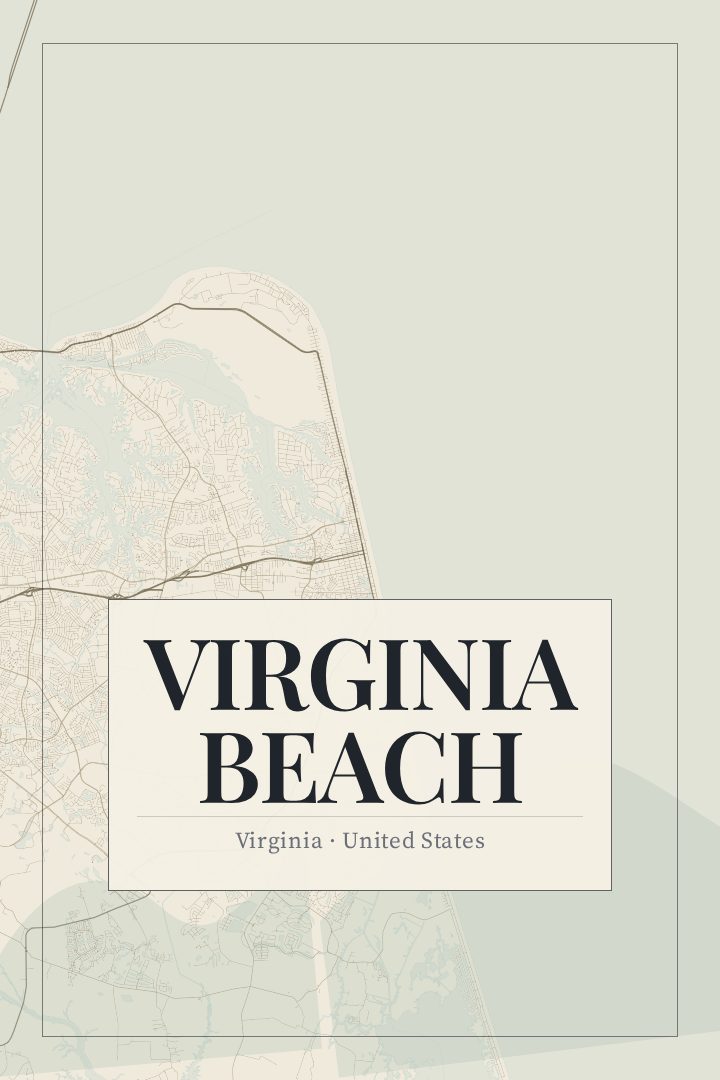
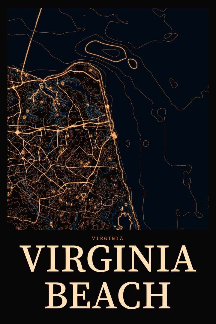
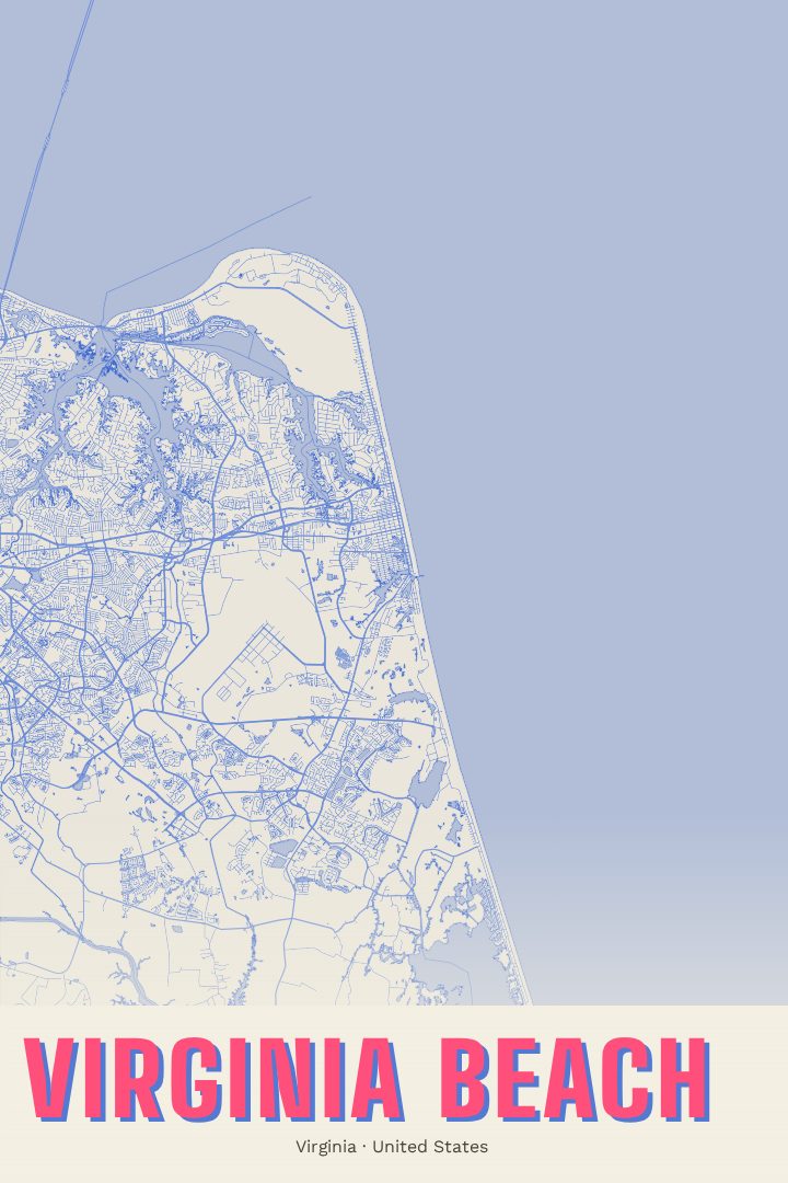
Virginia Beach is a city shaped by water. The Atlantic runs along its eastern edge, the Chesapeake Bay meets it to the north, and inland the land gives way to inlets, marshes and quiet neighborhoods. The long oceanfront boardwalk is the part most visitors picture first, but the city reaches well beyond it, into residential streets, wooded parks and farmland toward the south. This street map poster treats all of it as one place, a city laid out between the sea and the bay.
The Painted Survey edition is a visual style that pairs the order of a survey map with the softer feel of paint. It suits a coastal city, where so much of daily life follows the shape of the shoreline, and it gives a familiar grid of streets the quality of a keepsake rather than a reference sheet. Like every RadMaps print it is decorative art, made to hang on a wall, not to plan a drive or find a parking spot near the beach.
For someone who grew up near the Oceanfront, spent summers on the sand, or was stationed in the area at one of the region's military bases, a map of Virginia Beach can hold a lot of memory. It can mark a first apartment, a family's vacation town, or a move that turned into a long stay. It also makes a thoughtful gift for a friend leaving the coast or a couple who settled there. The available options are listed on this page.
Make a custom map poster of your own routeDid it yourself? Make a poster from your own Strava activity
Route details
- Location
- Virginia, United States
- Collection
- Cityscapes
Same city, different style
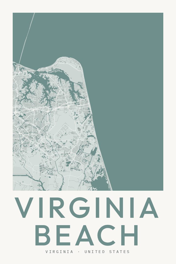
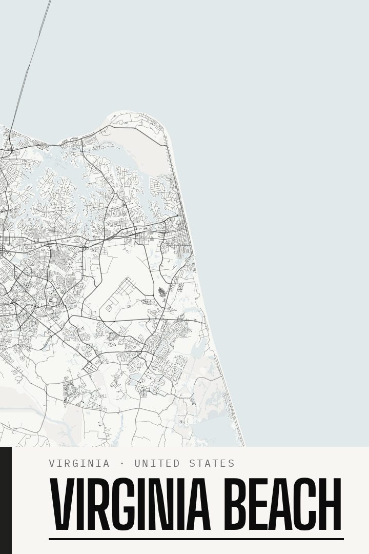
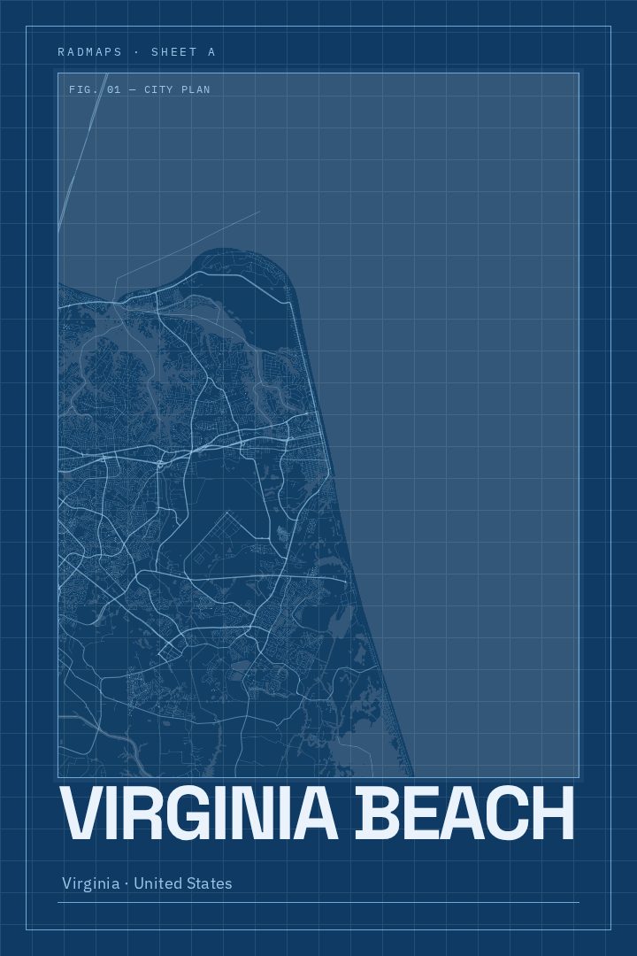
Virginia Beach in every style
You might also like
Related map posters




Part of a collection