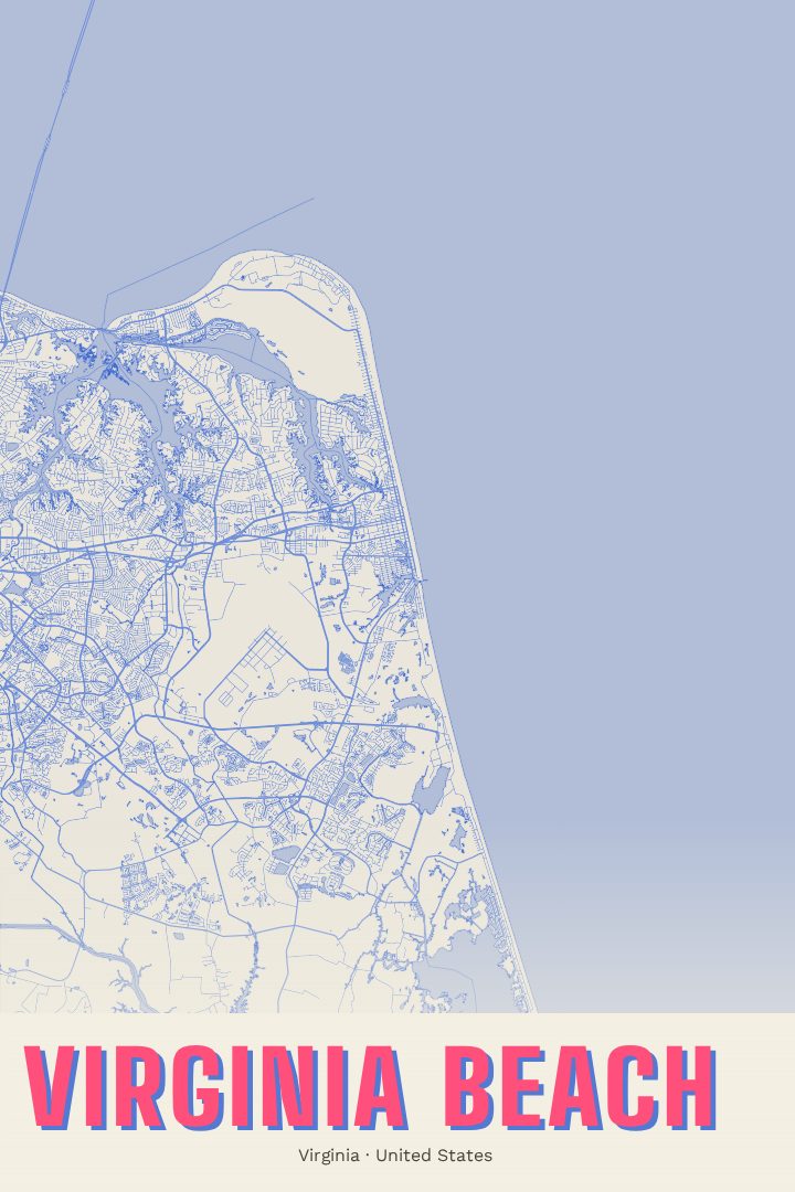
Shown at 16×24" · Archival Matte 250 gsm
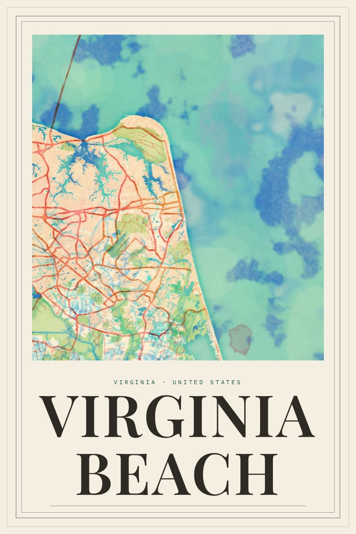
Virginia Beach City Map Poster
Overprint
About this print
Virginia Beach map poster
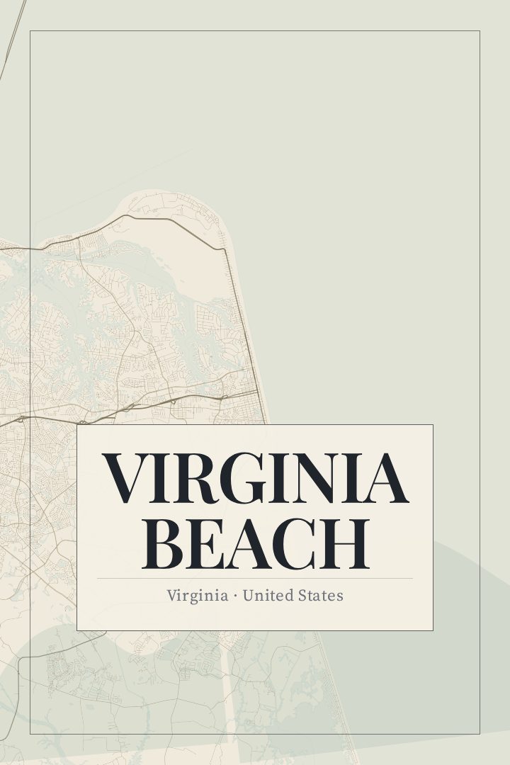
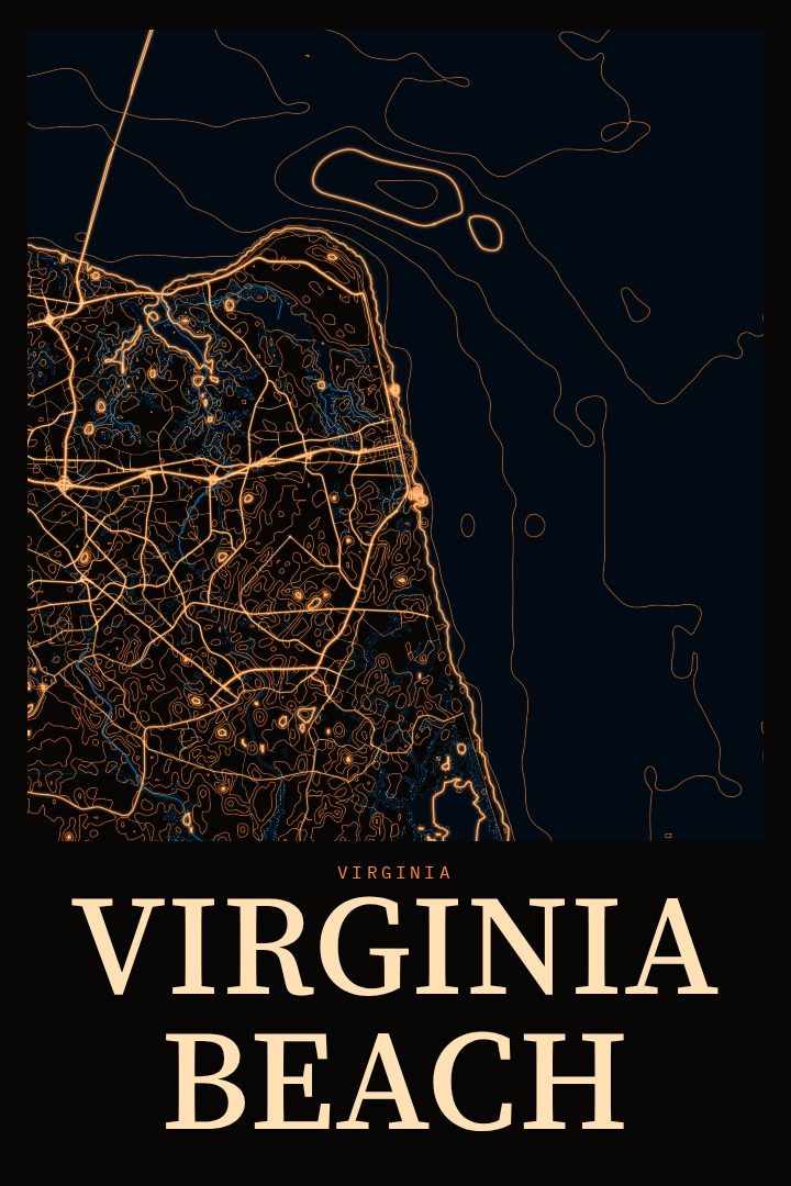
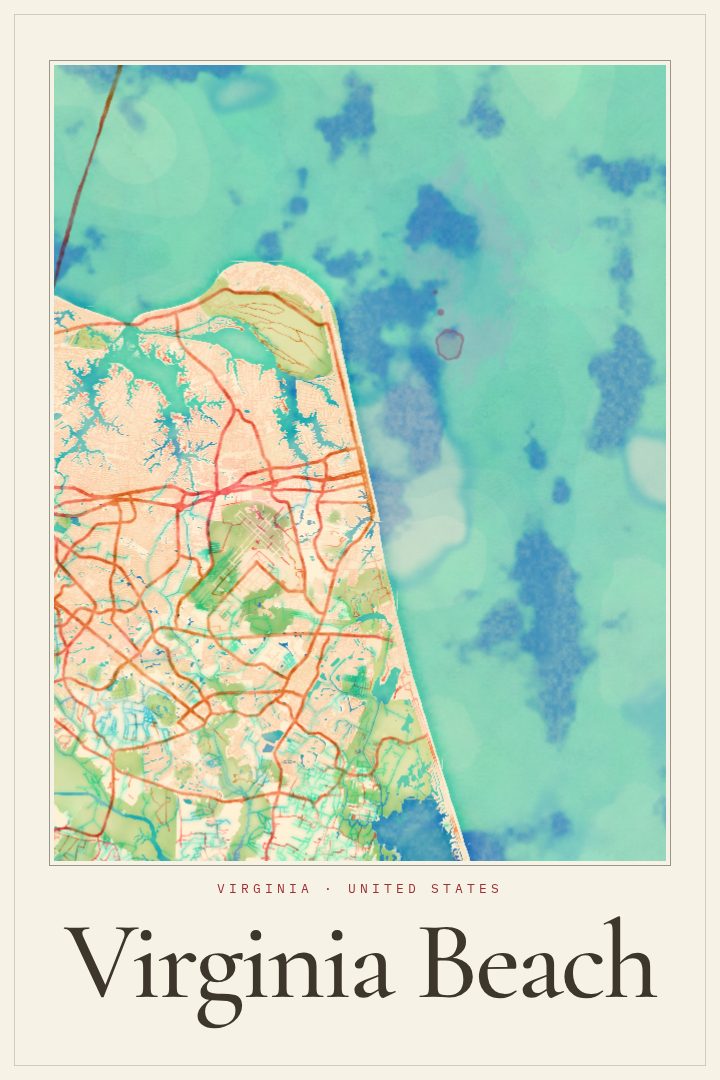
Virginia Beach sits where the Chesapeake Bay meets the Atlantic Ocean, at the southeastern edge of Virginia and the Hampton Roads region. Most visitors know it for the oceanfront boardwalk and the long stretch of sand that fills up every summer. The city also reaches well beyond the resort strip, through quiet residential streets, inlets and waterways, wooded parkland near the bay, and farmland toward the south. This print captures that street grid as a piece of wall art, a way to keep a familiar place in view long after the sunscreen has been put away.
The Overprint edition is a visual design style built from bold, overlapping color. It gives the city's streets a graphic, slightly playful character that suits a coastal town without leaning on seashells or lighthouses. It works in a beach house, a city apartment, or an office where a little color helps. Like every RadMaps poster, it is meant as decorative art rather than a navigation aid, so it is better at prompting memories than at finding the nearest parking spot.
This print could suit someone who grew up here, a family that returns to the same rental every year, or someone stationed nearby who wants a reminder of the place after moving on. It also makes a thoughtful gift for a new homeowner or a friend who talks about the oceanfront with a little too much enthusiasm. The available formats are listed on this page, so the choice comes down to where the coast belongs on the wall.
Make a custom map poster of your own routeDid it yourself? Make a poster from your own Strava activity
Route details
- Location
- Virginia, United States
- Collection
- Cityscapes
Same city, different style
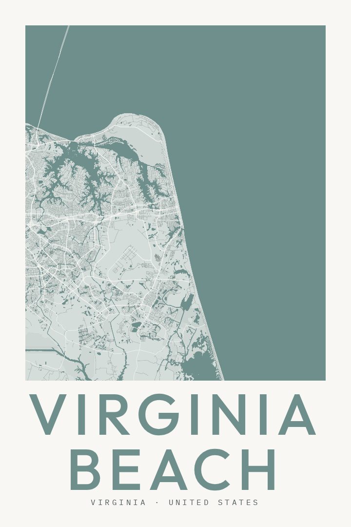
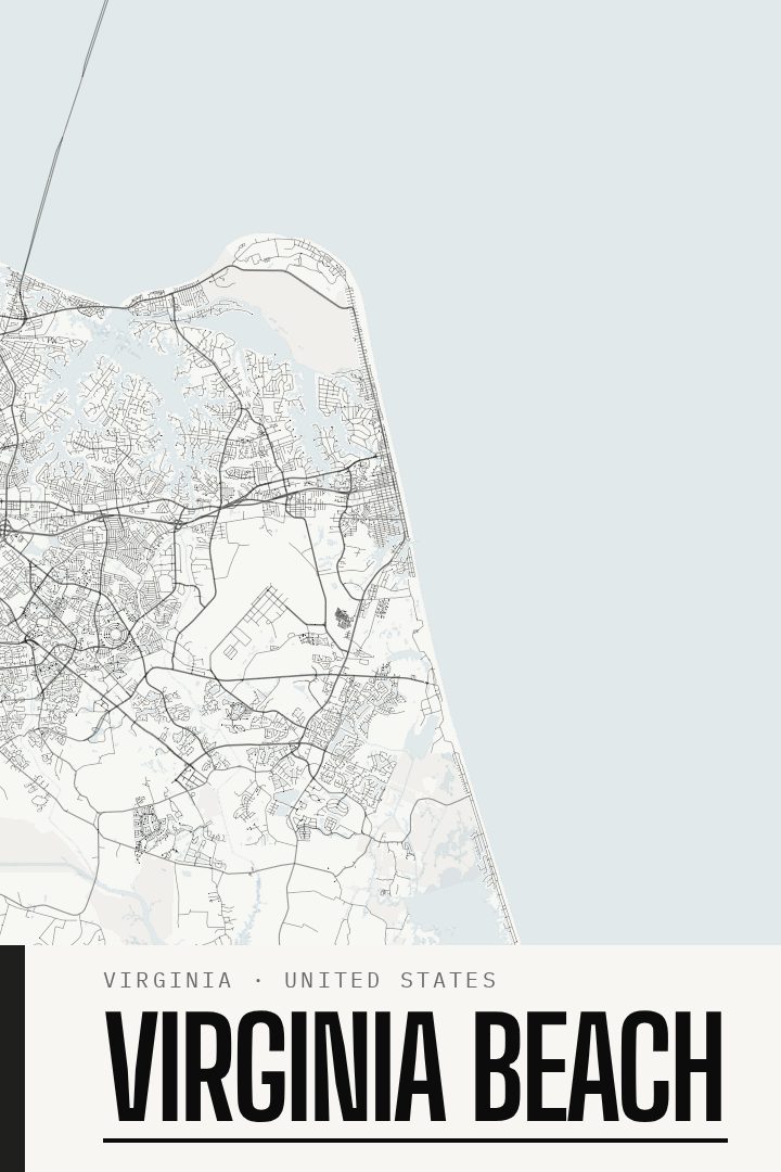
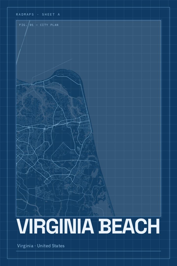
Virginia Beach in every style
You might also like
Related map posters




Part of a collection