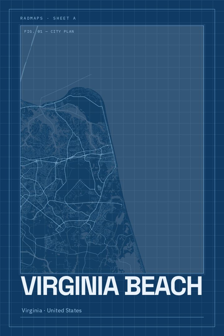
Shown at 16×24" · Archival Matte 250 gsm
Virginia Beach City Map Poster
Blueprint
About this print
Virginia Beach map poster
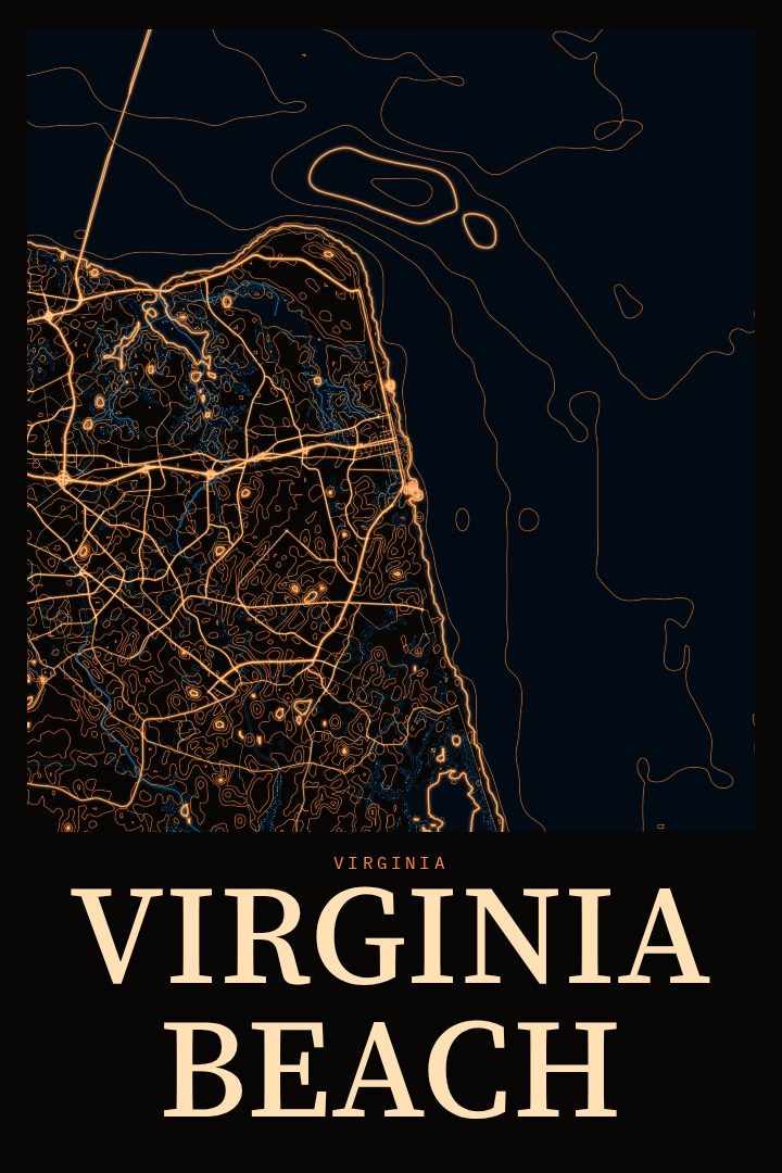
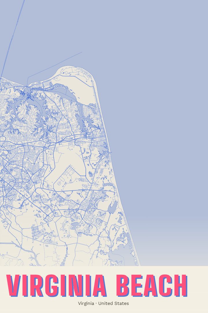
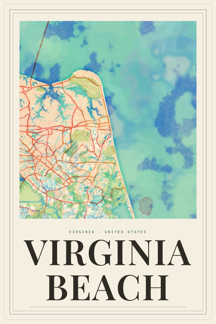
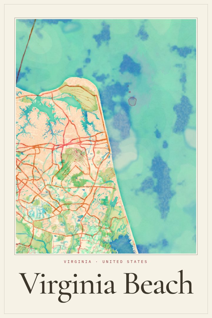
Virginia Beach sits where the Chesapeake Bay meets the Atlantic, a city shaped as much by water as by roads. Its long oceanfront boardwalk, the quieter bay beaches, and the inlets and marshes that thread through its neighborhoods give it a character that people who live there, grew up there, or spent summers there tend to carry with them. This poster renders Virginia Beach, Virginia as a street map in the Blueprint style, turning the city's grid and shoreline into a clean, technical-looking design.
The Blueprint edition is a visual style that leans on precise lines and a drafting-table feel, which suits a place whose layout is defined by coastline, waterways, and the roads that follow them. It reads as a portrait of the city's shape rather than a guide to getting around. Like every RadMaps print, it is decorative art, not a navigation aid.
A city map like this tends to mean something specific to the person who hangs it. For some it marks a hometown or the place a family settled after a military posting at one of the area's bases. For others it is a reminder of beach vacations, a first apartment, or years spent nearby. It works in a home office, a hallway, or a living room where a little coastal history fits in without leaning on seashell decor. It also makes a thoughtful gift for someone moving away from Virginia Beach or someone who has just arrived. The page lists the available options so the print can be matched to the space it is going into.
Make a custom map poster of your own routeDid it yourself? Make a poster from your own Strava activity
Route details
- Location
- Virginia, United States
- Collection
- Cityscapes
Same city, different style
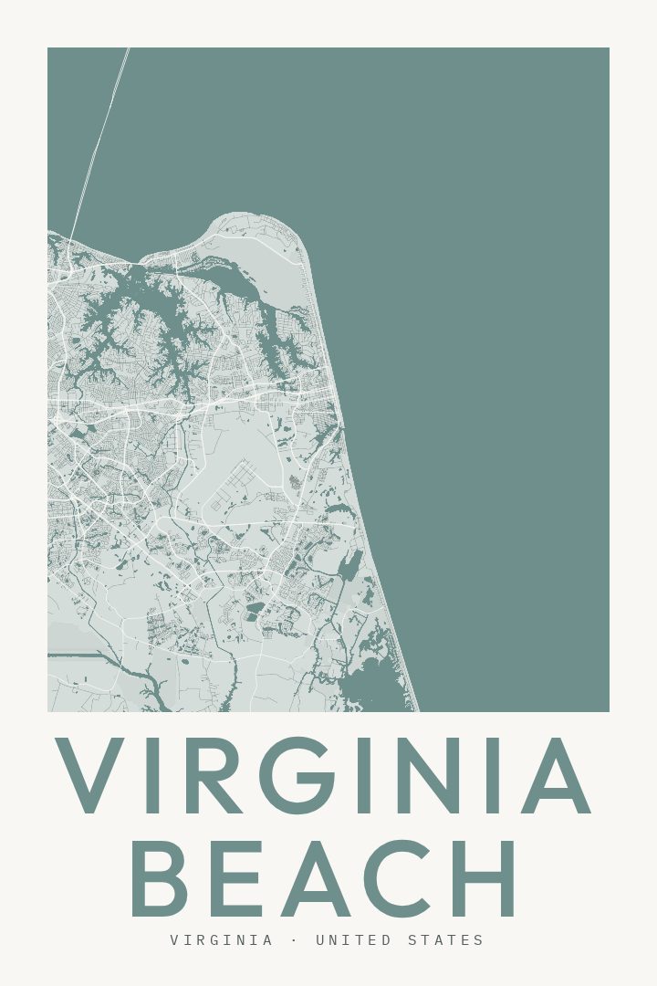
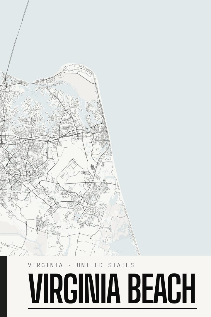
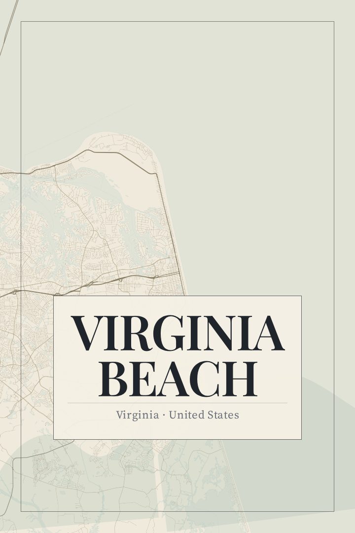
Virginia Beach in every style
You might also like
Related map posters




Part of a collection