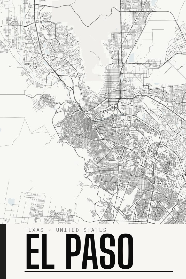
Shown at 16×24" · Archival Matte 250 gsm
El Paso City Map Poster
Blackline
About this print
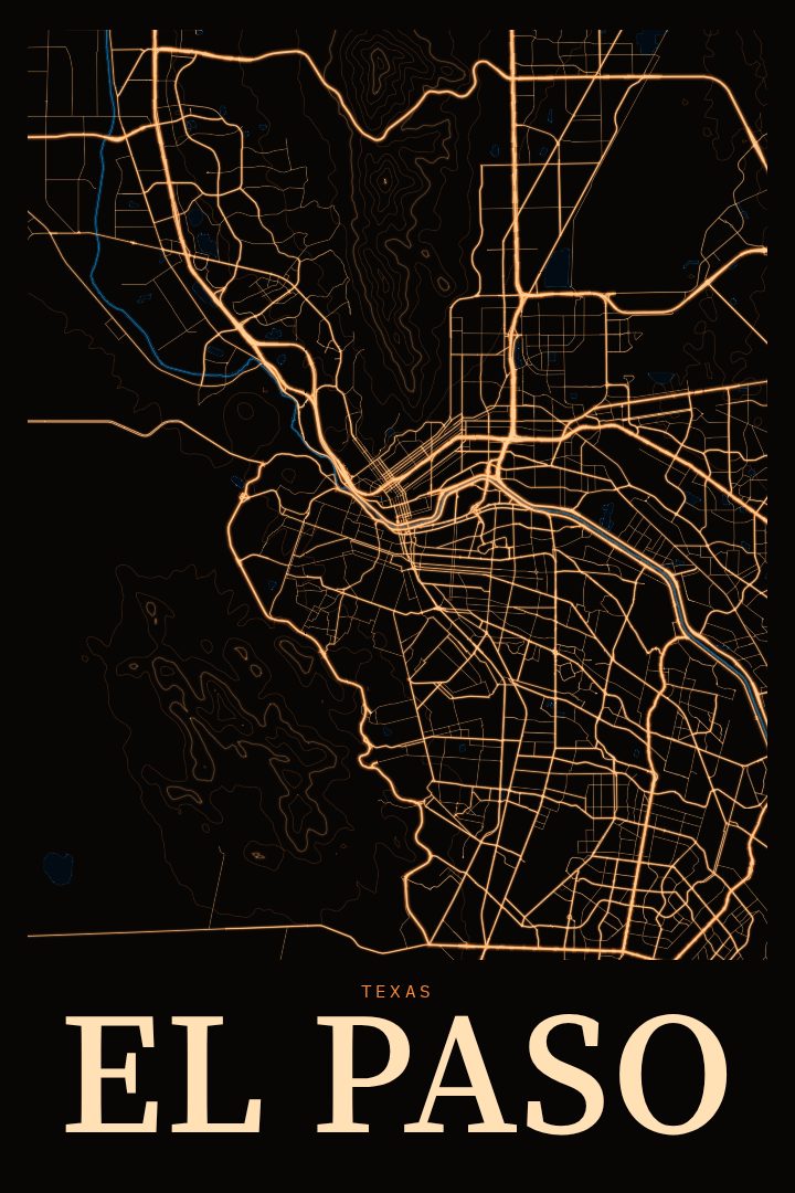
El Paso map poster
El Paso sits at the far western tip of Texas, where the Rio Grande runs along the border with Mexico and the Franklin Mountains rise right through the middle of the city. It is a place shaped by its setting: desert light, wide skies, and a long history as a crossroads between two countries and cultures. Neighborhoods spread out around the mountains and along the river valley, giving the city a layout that feels unlike anywhere else in the state.
This poster presents El Paso's street map in the Blackline style, a clean, graphic design approach that lets the pattern of the city speak for itself. Street grids, curving roads and open stretches of desert ground all become part of a single composition, turning familiar geography into something closer to an abstract drawing. It works as decorative art for a living room, office or hallway, and it reads just as well to someone who knows every corner of town as to someone who simply likes the look of a well-drawn map.
For anyone who grew up in El Paso, moved away and misses it, or recently arrived and is starting to call it home, a map print is a quiet way to keep the city close. It also makes a thoughtful gift for family, friends or anyone with ties to the Sun City and the borderland around it. The El Paso Blackline poster is meant for the wall, not for finding your way, and it brings a sense of place to a room without needing to say much at all.
Make a custom map poster of your own routeDid it yourself? Make a poster from your own Strava activity
Route details
- Location
- Texas, United States
- Collection
- Cityscapes
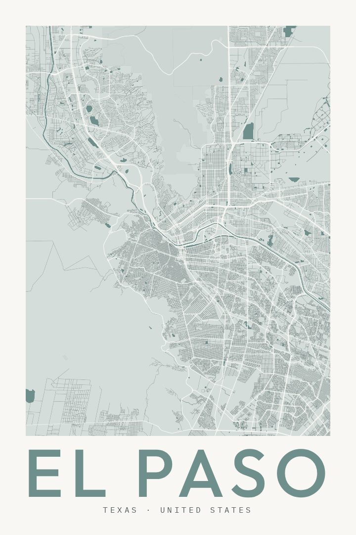
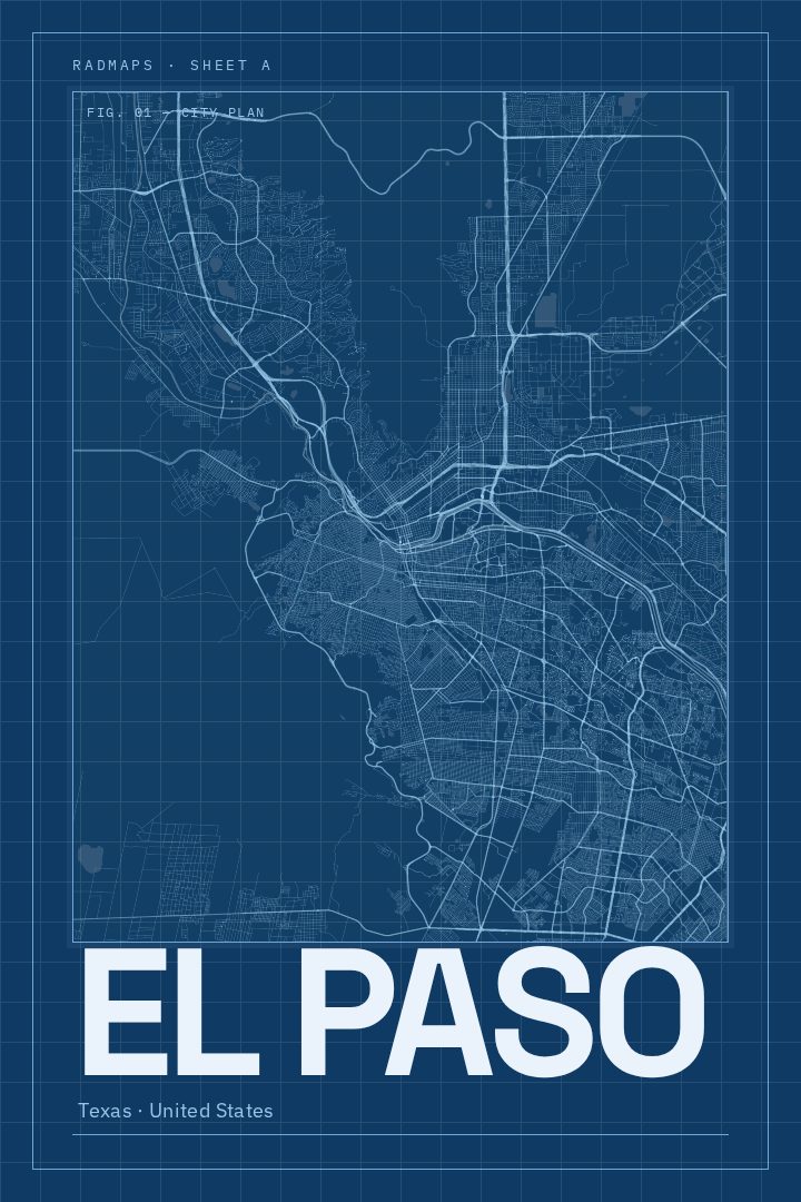
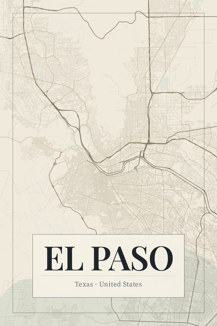
Same city, different style
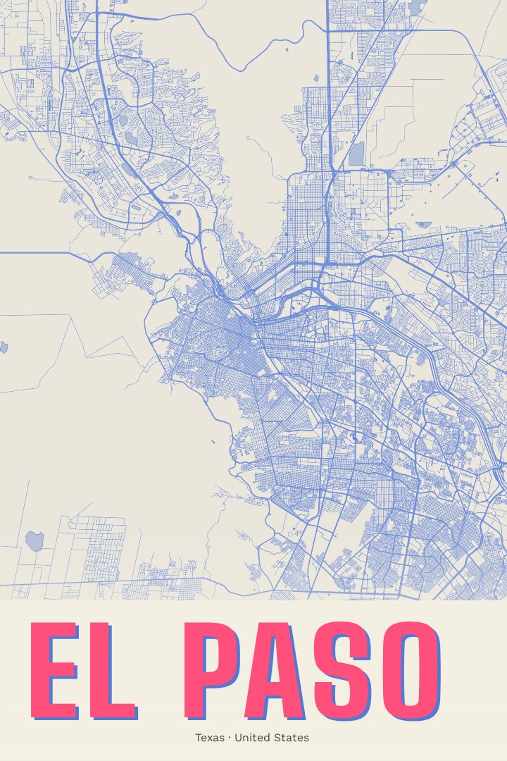
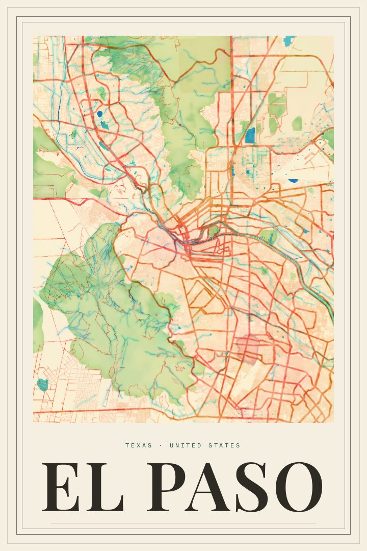
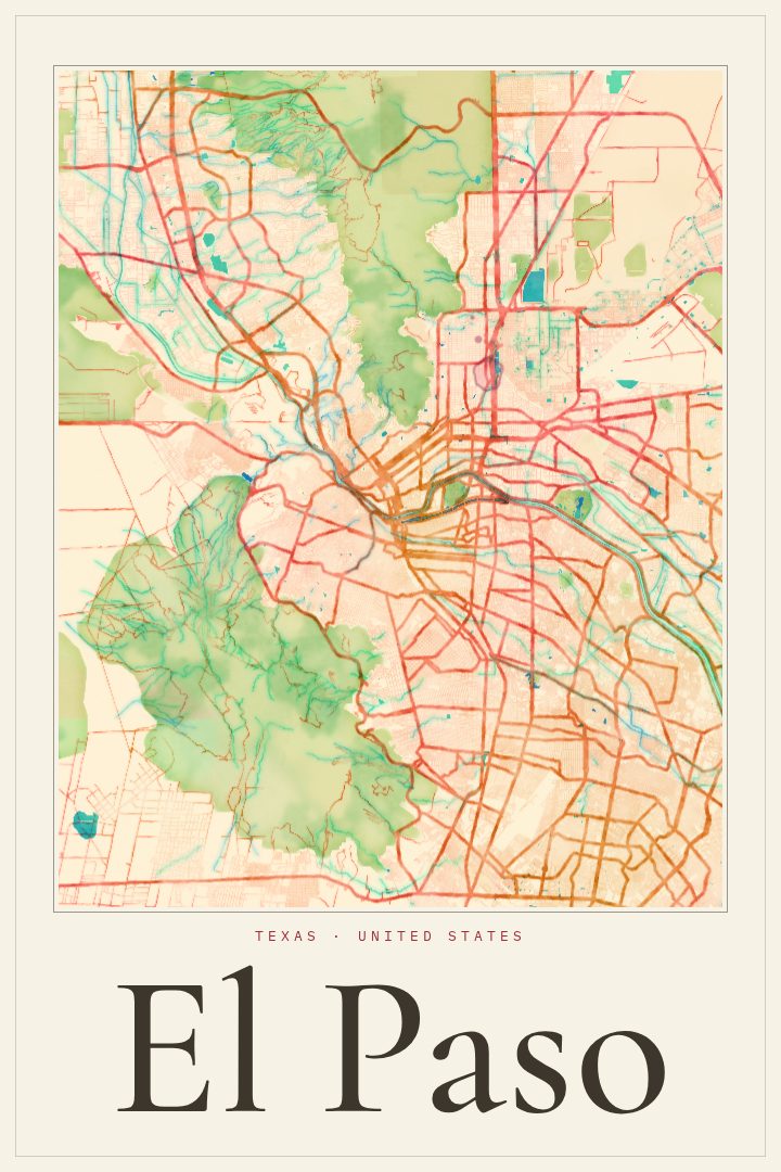
El Paso in every style
You might also like
Related map posters




Part of a collection