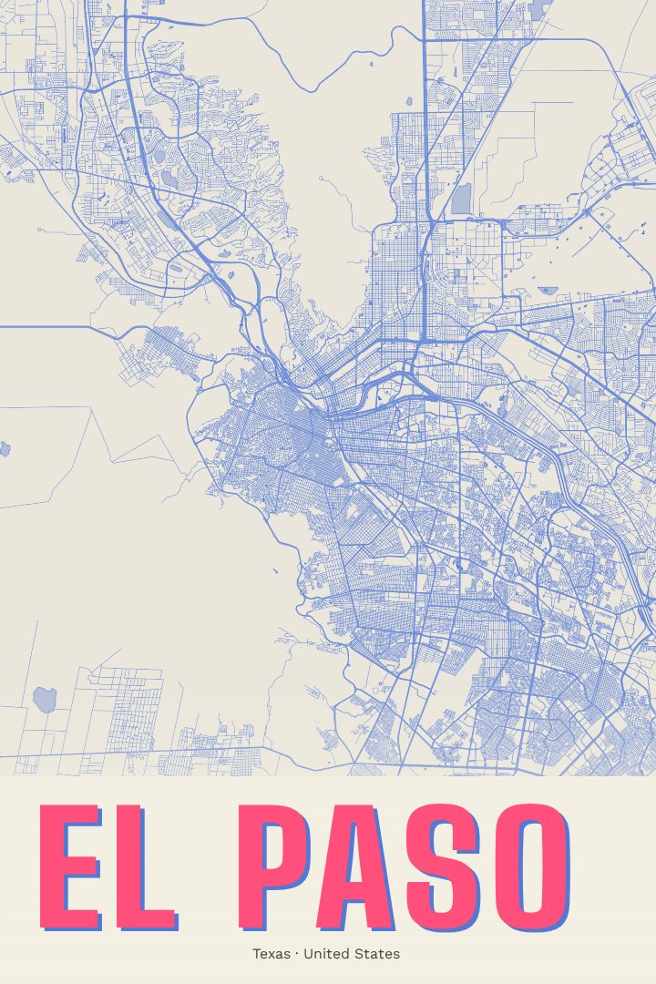
Shown at 16×24" · Archival Matte 250 gsm
El Paso City Map Poster
Overprint
About this print
El Paso map poster
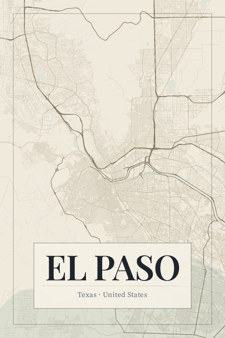
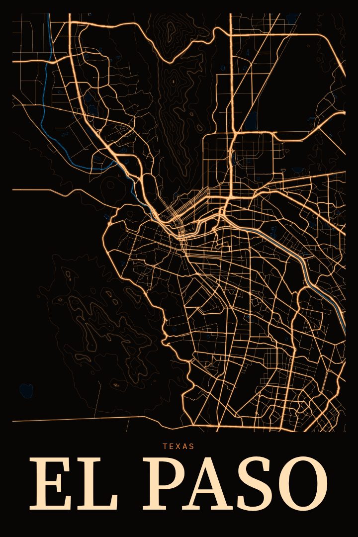
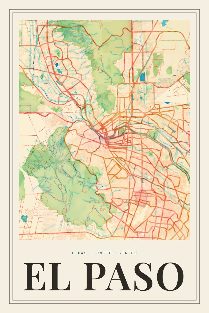
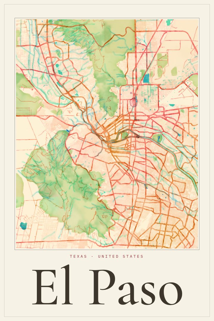
El Paso sits at the far western tip of Texas, where the Rio Grande runs between the city and Ciudad Juárez and the Franklin Mountains rise straight out of the desert. It is a border city in the fullest sense, shaped by two countries, two languages, and a long shared history. This street map poster captures that city in the Overprint style, a bold graphic treatment that turns the grid and sprawl of El Paso into a piece of decorative art for the wall.
For anyone who grew up in the Sun City, went to school at UTEP, served at Fort Bliss, or simply spent time under that wide Chihuahuan Desert sky, a map of El Paso can hold a lot of meaning. Streets that look like plain lines to a stranger carry memories for the people who drove them every day: the route to a grandmother's house, the way to a favorite taquería, the road out toward the mountains at sunset. A city map has a way of saying home without needing many words.
The Overprint edition is one of several design styles available, and it suits a city with as much character and contrast as El Paso. It works well in a living room, an office, or a first apartment far from home, and it makes a thoughtful gift for someone who has moved away or just arrived. Like every RadMaps print, it is made to be looked at and enjoyed rather than used for navigation, a quiet reminder of a place that matters.
Make a custom map poster of your own routeDid it yourself? Make a poster from your own Strava activity
Route details
- Location
- Texas, United States
- Collection
- Cityscapes
Same city, different style
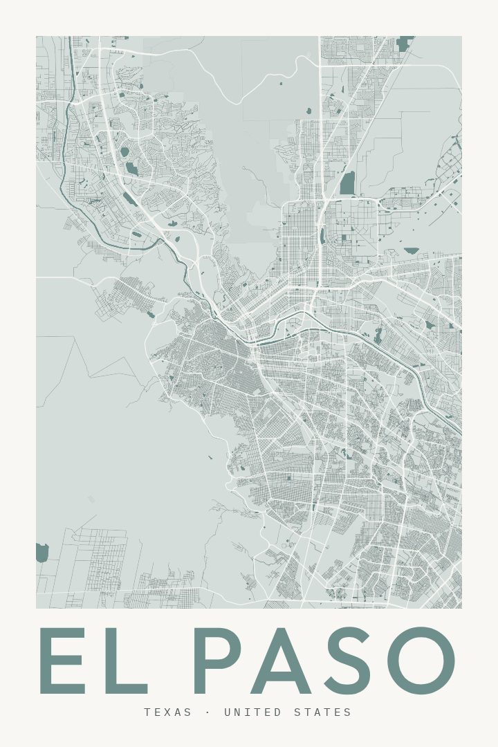
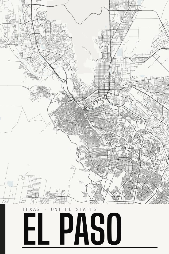
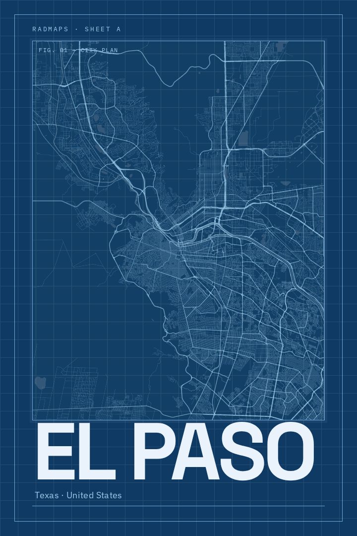
El Paso in every style
You might also like
Related map posters




Part of a collection