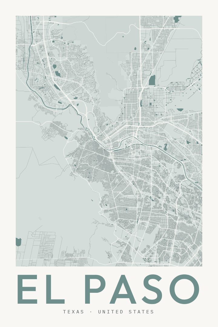
Shown at 16×24" · Archival Matte 250 gsm
El Paso City Map Poster
Classic
About this print
El Paso map poster
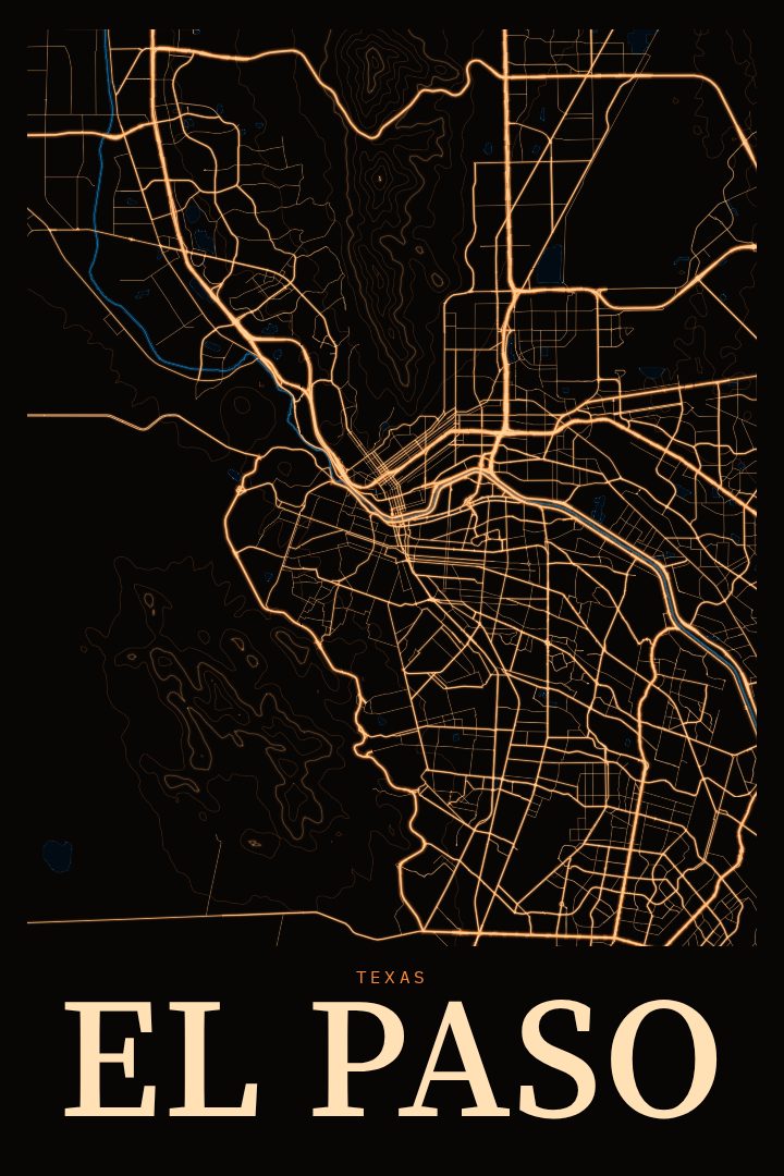
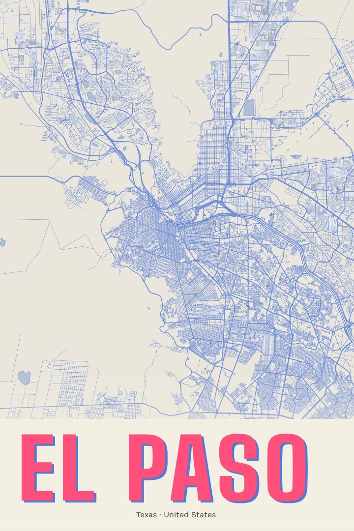
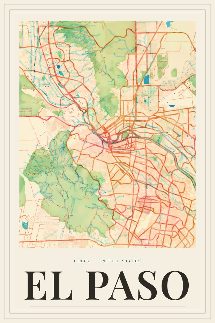
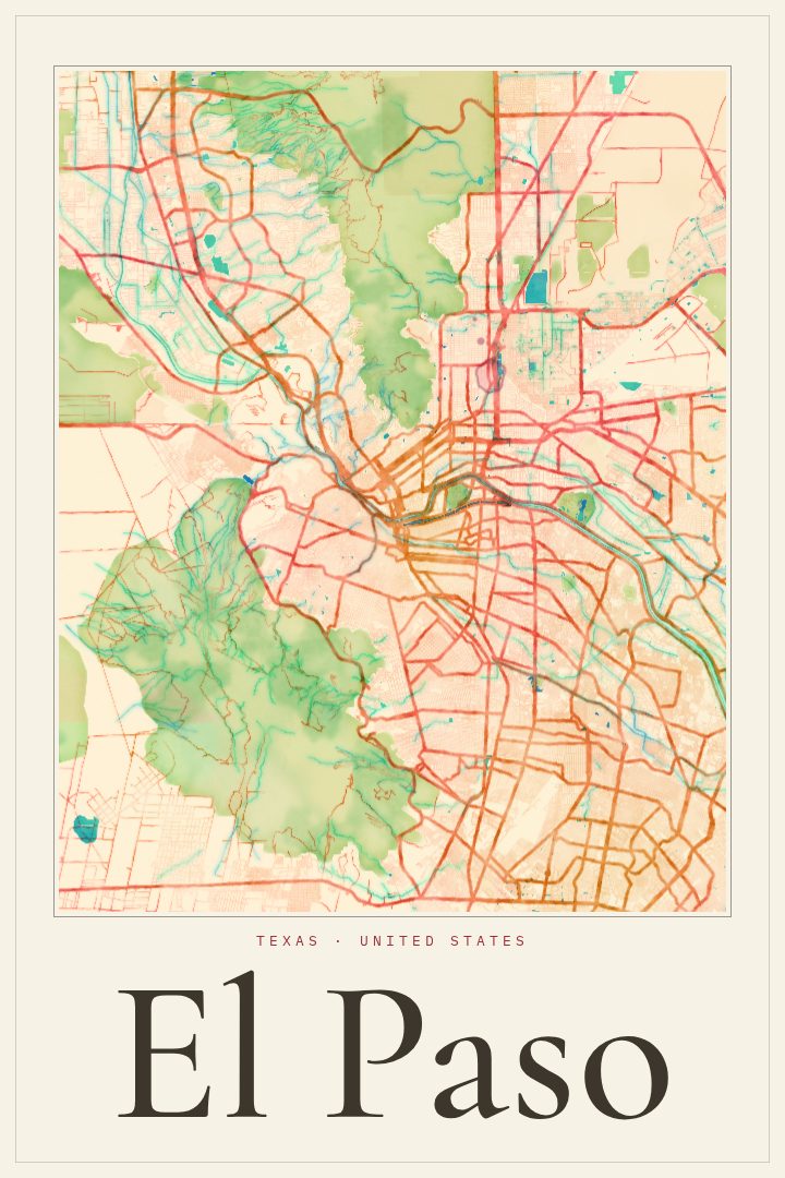
El Paso sits at the far western tip of Texas, where the Rio Grande runs between the city and Ciudad Juárez across the border in Mexico. The Franklin Mountains rise right through the middle of town, so the street grid bends and splits around a range of desert peaks. The result is a city shaped as much by geography as by planning. This Classic street map poster captures that layout in a clean, timeless style suited to a living room, office, or hallway.
For people who grew up in El Paso, the city carries a particular feel: warm desert light, the sight of the mountains from almost anywhere, a deep blend of Mexican and American culture, and food that locals will defend against anyone. It is home to Fort Bliss and the University of Texas at El Paso, so many people pass through for a few years of service or study and remember it long after. A map of the city can mark that chapter, a hometown, or the place where a family put down roots.
The Classic edition is a visual design style with a restrained, traditional look that sits easily alongside other art and furniture. It works as a gift for someone who has moved away, a reminder of a first home, or a way to celebrate a city that rarely gets the attention it deserves. As with every RadMaps print, it is intended as decorative art for the wall rather than a tool for finding the way around town.
Make a custom map poster of your own routeDid it yourself? Make a poster from your own Strava activity
Route details
- Location
- Texas, United States
- Collection
- Cityscapes
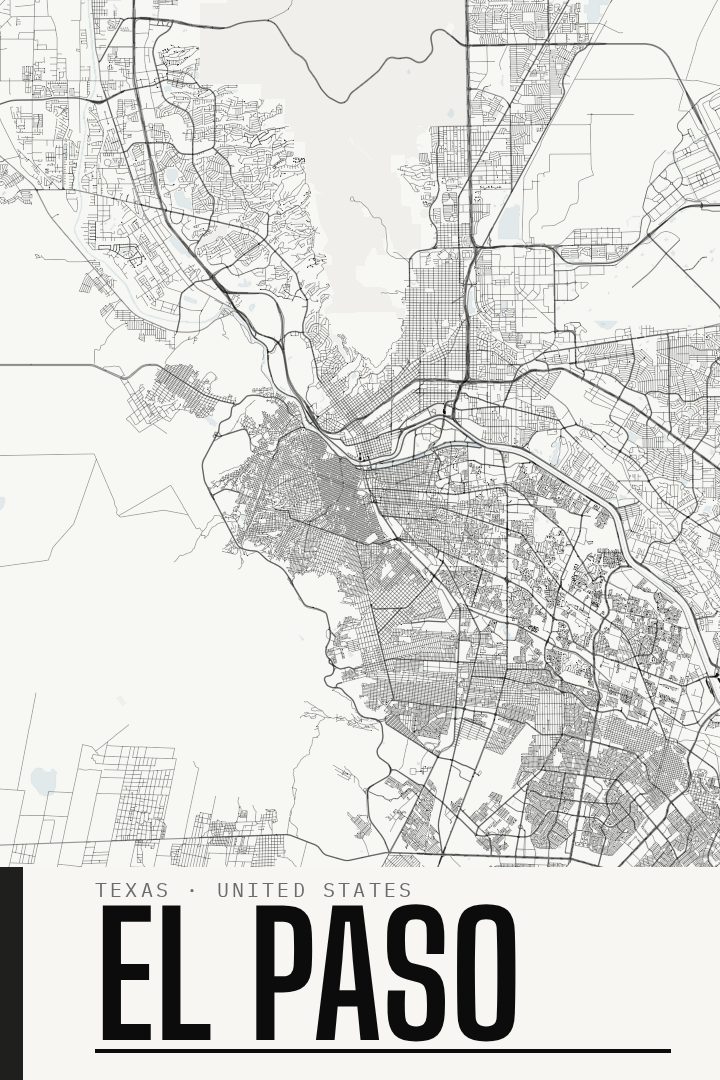
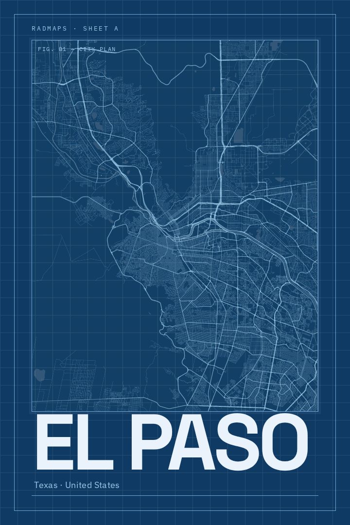
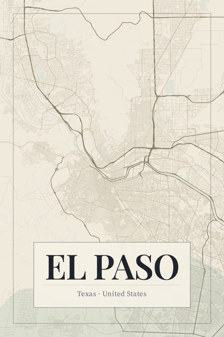
Same city, different style
El Paso in every style
You might also like
Related map posters




Part of a collection