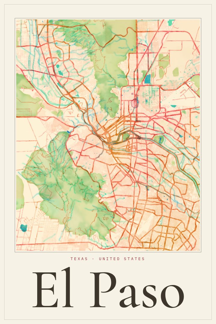
Shown at 16×24" · Archival Matte 250 gsm
El Paso City Map Poster
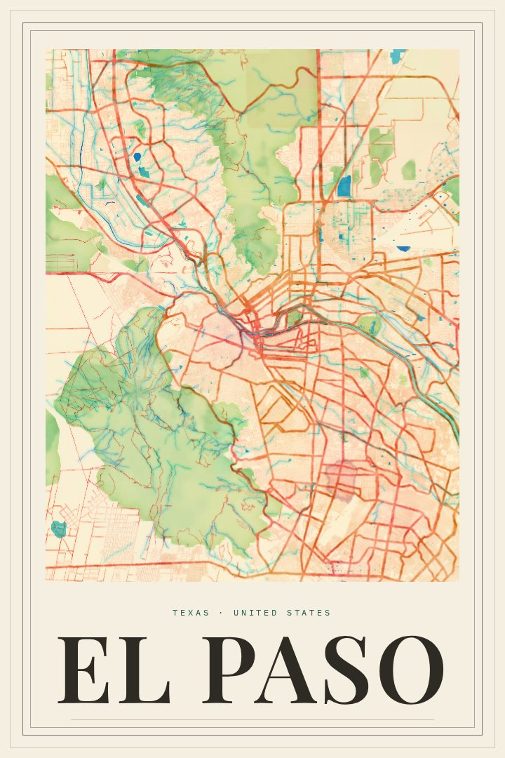
Watercolor
About this print
El Paso map poster
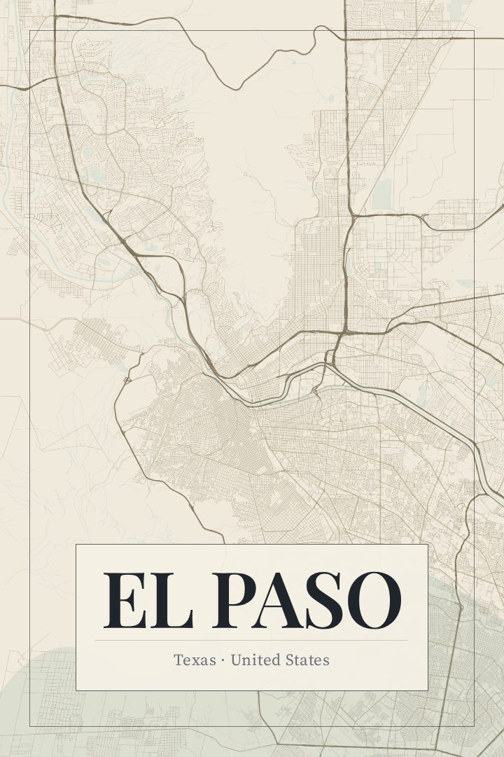
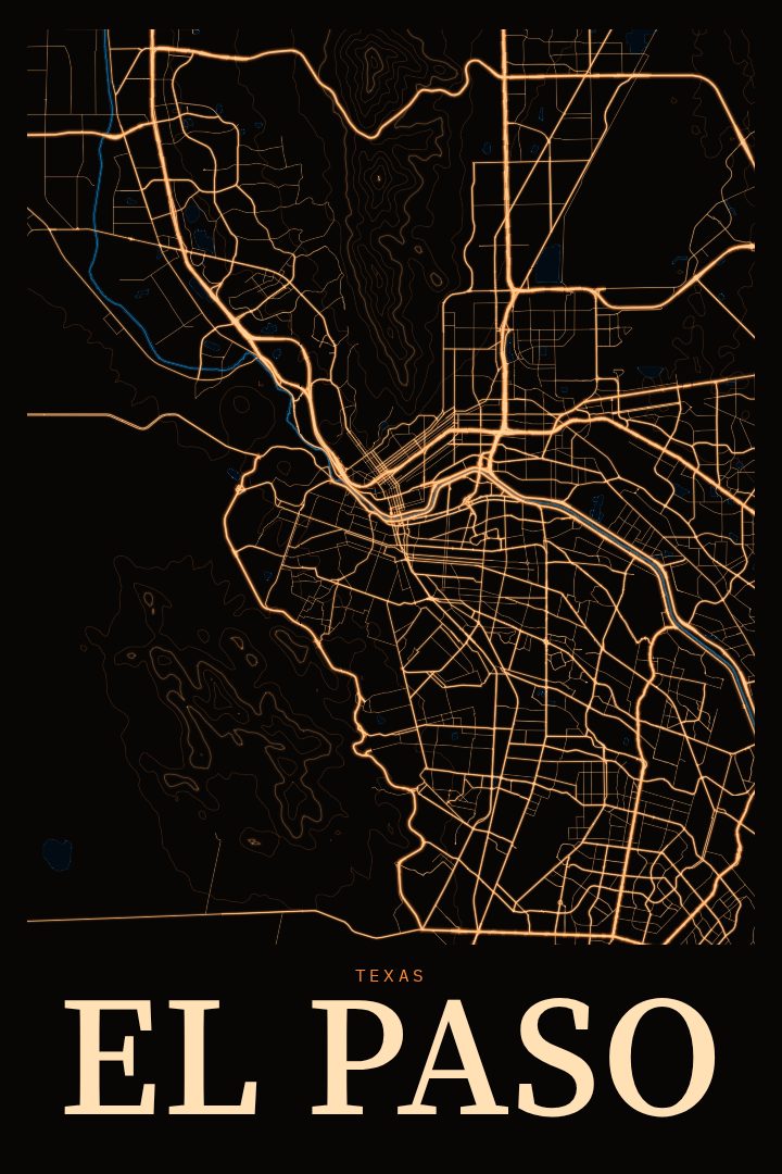
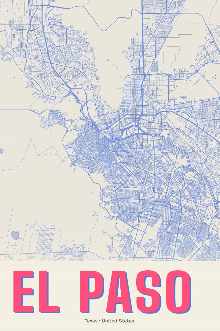
El Paso sits at the far western tip of Texas, where the Rio Grande runs between the city and Ciudad Juárez across the border in Mexico. The Franklin Mountains rise right through the middle of town, and the streets fan out around them toward the desert on every side. It is a city shaped by its setting: mountain, river, and border all close at hand, with a long history as a crossing point between regions and cultures.
This El Paso street map poster is rendered in the Watercolor style, a design approach that trades hard lines for soft washes of color and gentle edges. The result reads less like a technical plan and more like a painting of a familiar place, which suits a city known for its wide skies and desert light. It works as a quiet piece on a wall where a bold graphic might feel like too much.
For someone who grew up in El Paso, studied at UTEP, served at Fort Bliss, or simply spent a few good years in the Sun City, a map of home can carry a lot of memory without saying a word. It also makes a thoughtful gift for a friend or family member who has moved away and still thinks of the Franklins on the horizon. The poster is decorative art meant for living rooms, offices, and hallways, not a tool for finding your way around town. The size and finish options are listed on this page.
Make a custom map poster of your own routeDid it yourself? Make a poster from your own Strava activity
Route details
- Location
- Texas, United States
- Collection
- Cityscapes
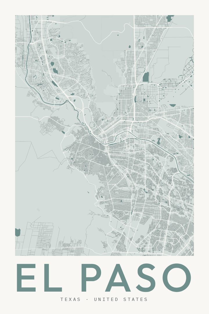
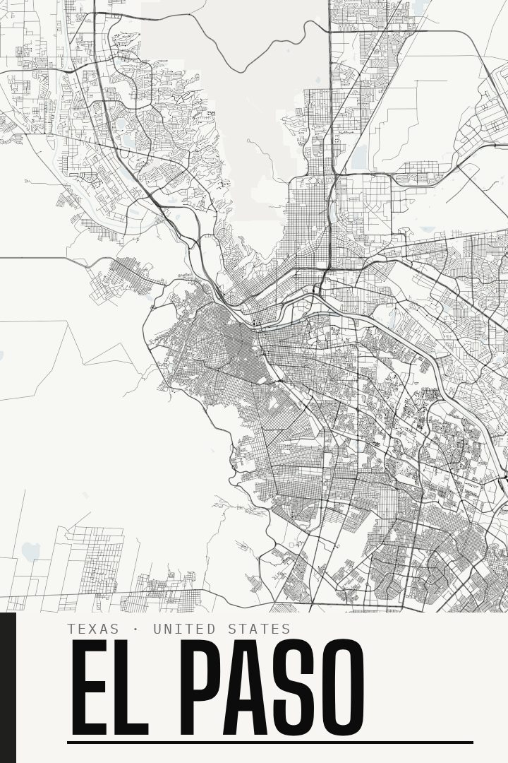
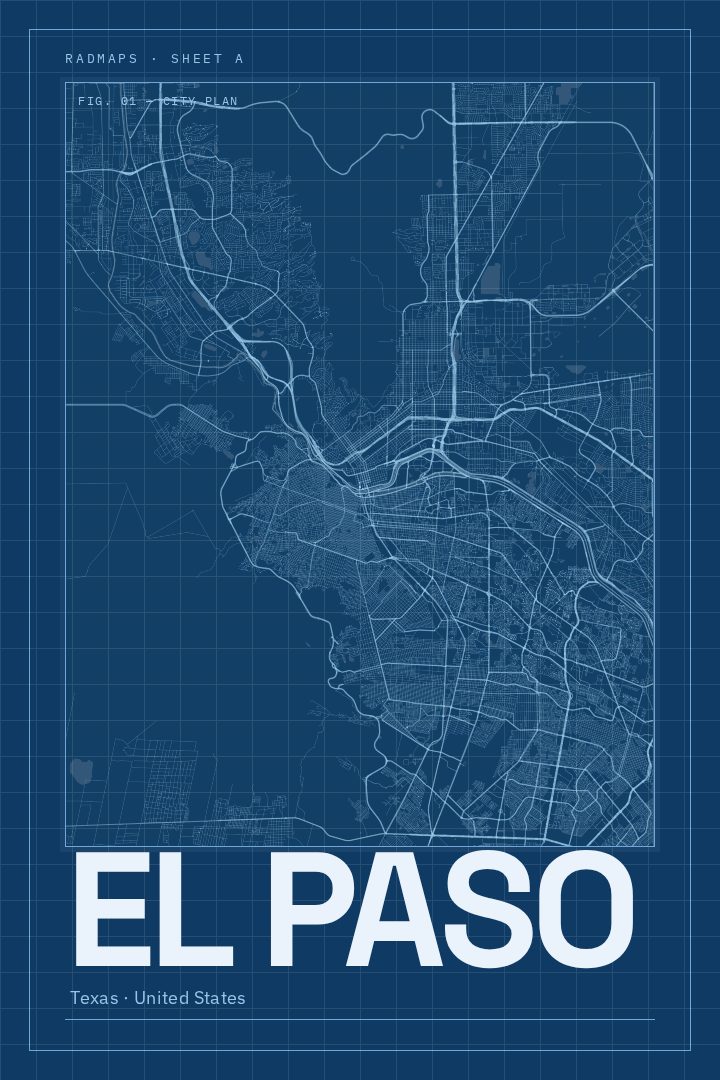
Same city, different style
El Paso in every style
You might also like
Related map posters




Part of a collection