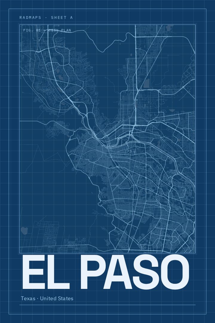
Shown at 16×24" · Archival Matte 250 gsm
El Paso City Map Poster
Blueprint
About this print
El Paso map poster
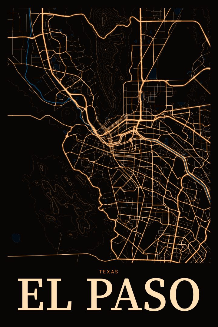
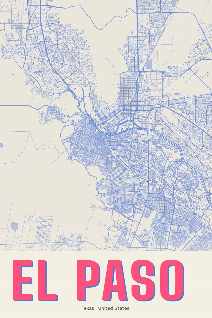
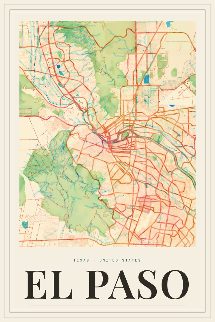
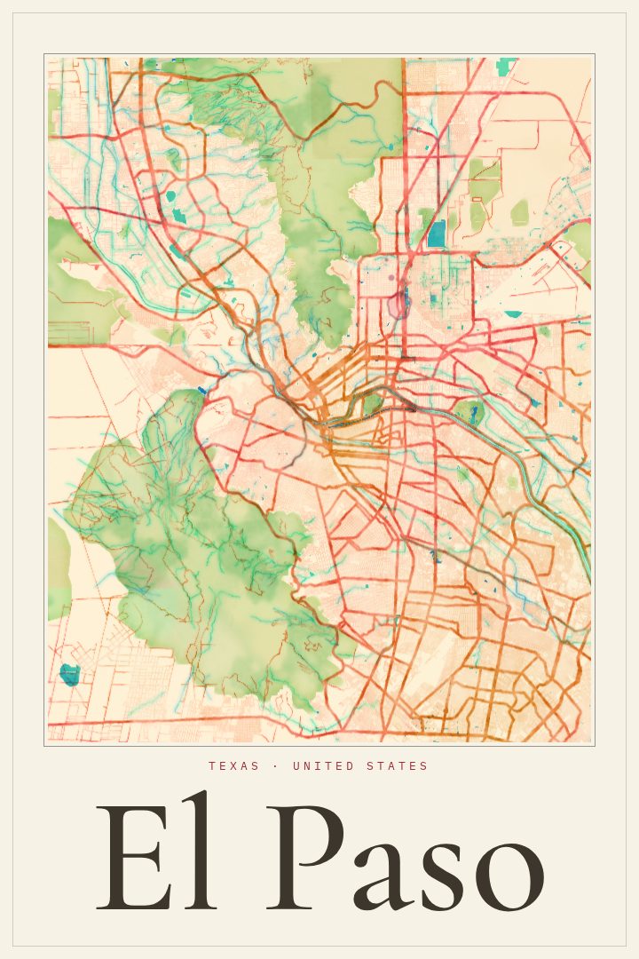
El Paso sits at the far western tip of Texas, where the Rio Grande runs between the city and Ciudad Juárez and the Franklin Mountains rise right out of town. It is a desert city in the Chihuahuan Desert, closer to New Mexico and Mexico than to most of Texas, and its character comes from that position. Spanish and English mix easily here, Tex-Mex and Mexican cooking are part of daily life, and the mountains are always on the horizon. This print captures El Paso as a street map, a portrait of the city drawn from the way its roads and neighborhoods fit together around the river and the ridgeline.
The Blueprint edition gives the city a crisp, technical look: a cool palette and clean linework that reads like a drafting sheet. It suits a home office, a hallway, or a living room where a graphic piece works better than a photograph, and it sits comfortably alongside both modern and more traditional decor. The style keeps the focus on structure, so the layout of the city itself carries the design.
A map of a hometown tends to mean something specific to whoever hangs it. For someone who grew up in El Paso, studied at UTEP, was stationed at Fort Bliss, or simply moved away and misses the sunsets over the Franklins, this poster is a quiet daily reminder of the place. It also makes a thoughtful gift for a new resident or a family member with roots in the borderland. Like every RadMaps print, it is meant as decorative art for the wall, not as a guide for getting around.
Make a custom map poster of your own routeDid it yourself? Make a poster from your own Strava activity
Route details
- Location
- Texas, United States
- Collection
- Cityscapes
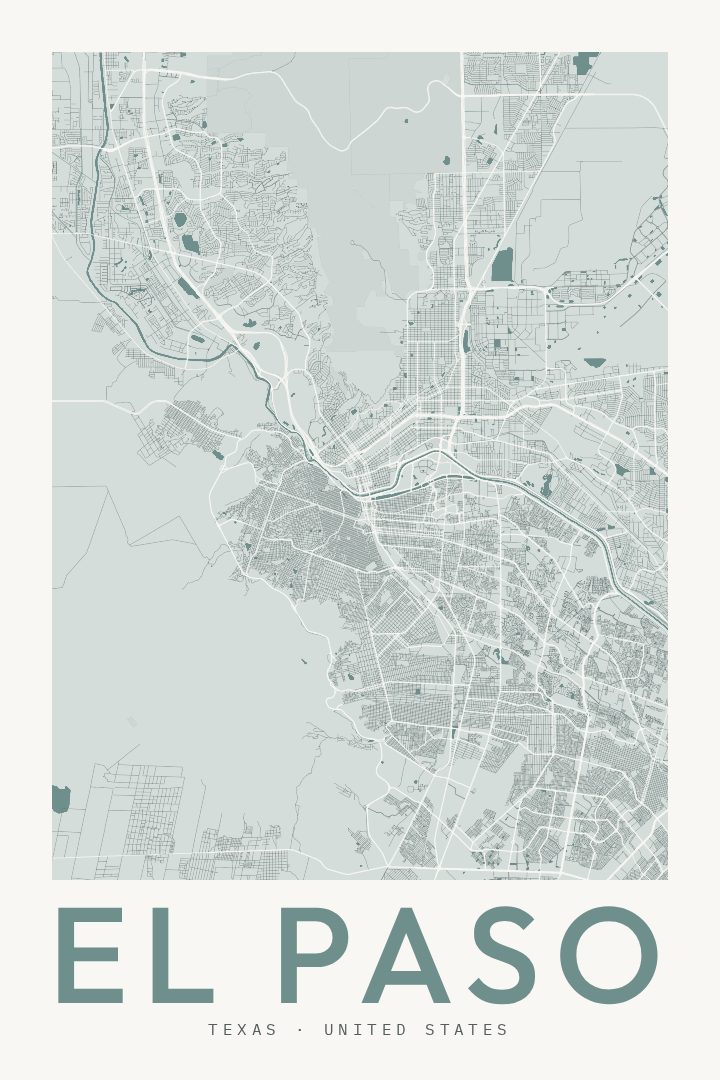
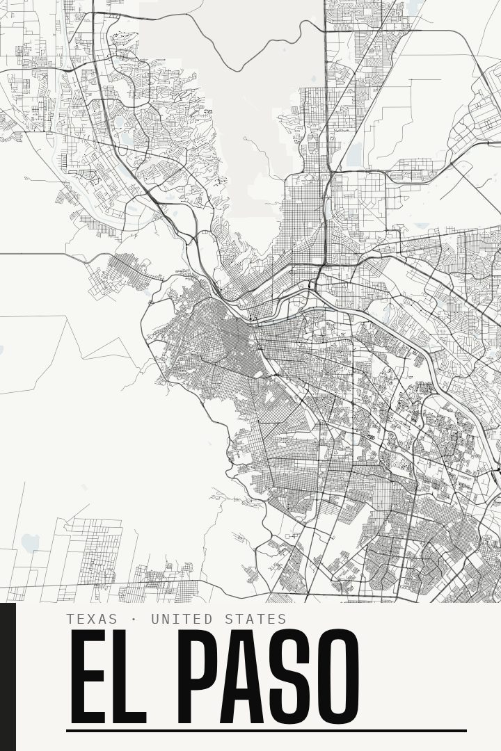
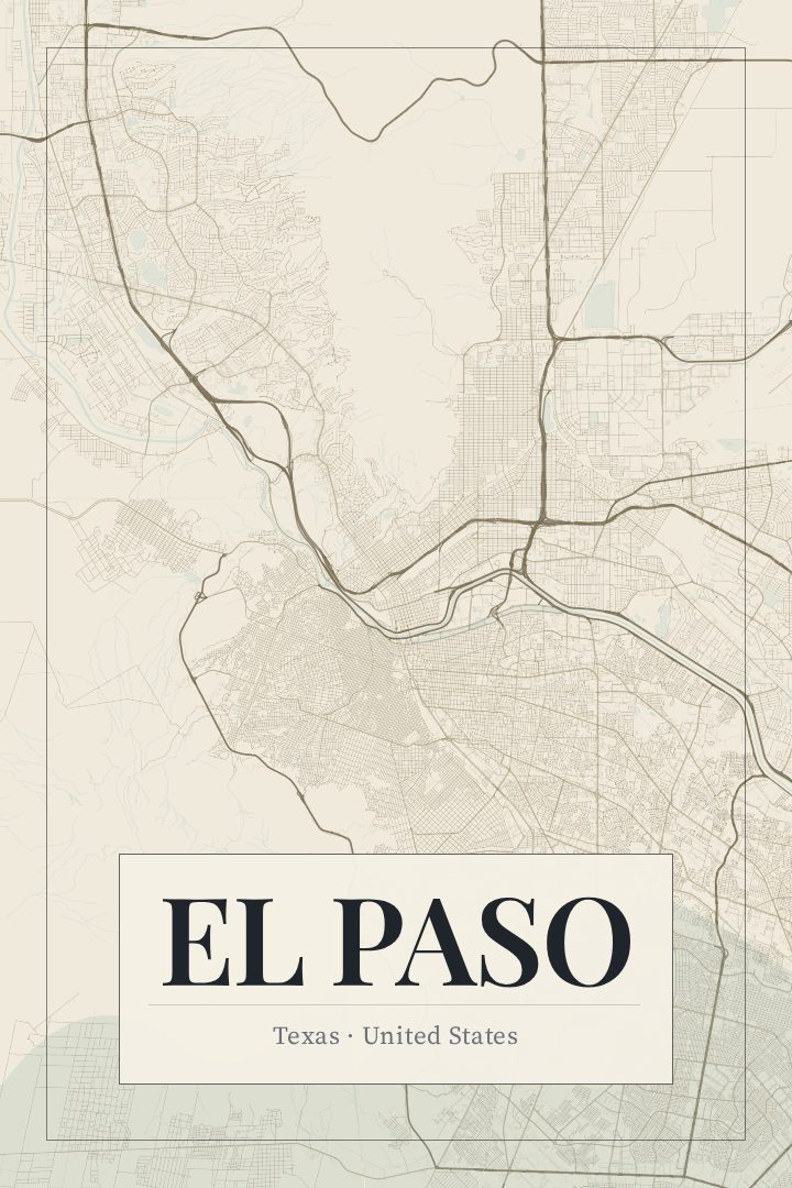
Same city, different style
El Paso in every style
You might also like
Related map posters




Part of a collection