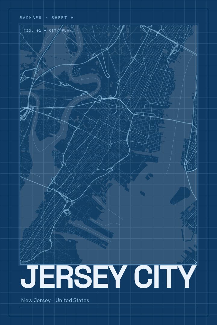
Shown at 16×24" · Archival Matte 250 gsm
Jersey City City Map Poster
Blueprint
About this print
Jersey City map poster
Jersey City sits on the west bank of the Hudson River, directly across the water from Lower Manhattan, and that view of the skyline is one of the things people who live there talk about most. The city has its own character, though. It runs from the waterfront towers and ferry landings near Exchange Place to quieter brownstone blocks in Downtown and Paulus Hook, and on to the varied neighborhoods of the Heights, Journal Square, Greenville, and Bergen-Lafayette. Liberty State Park stretches along the harbor with views toward the Statue of Liberty and Ellis Island, and the PATH trains tie the city to New York in a few minutes' ride.
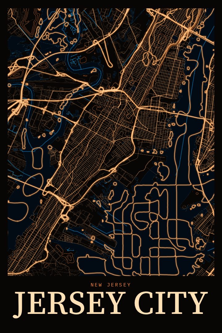
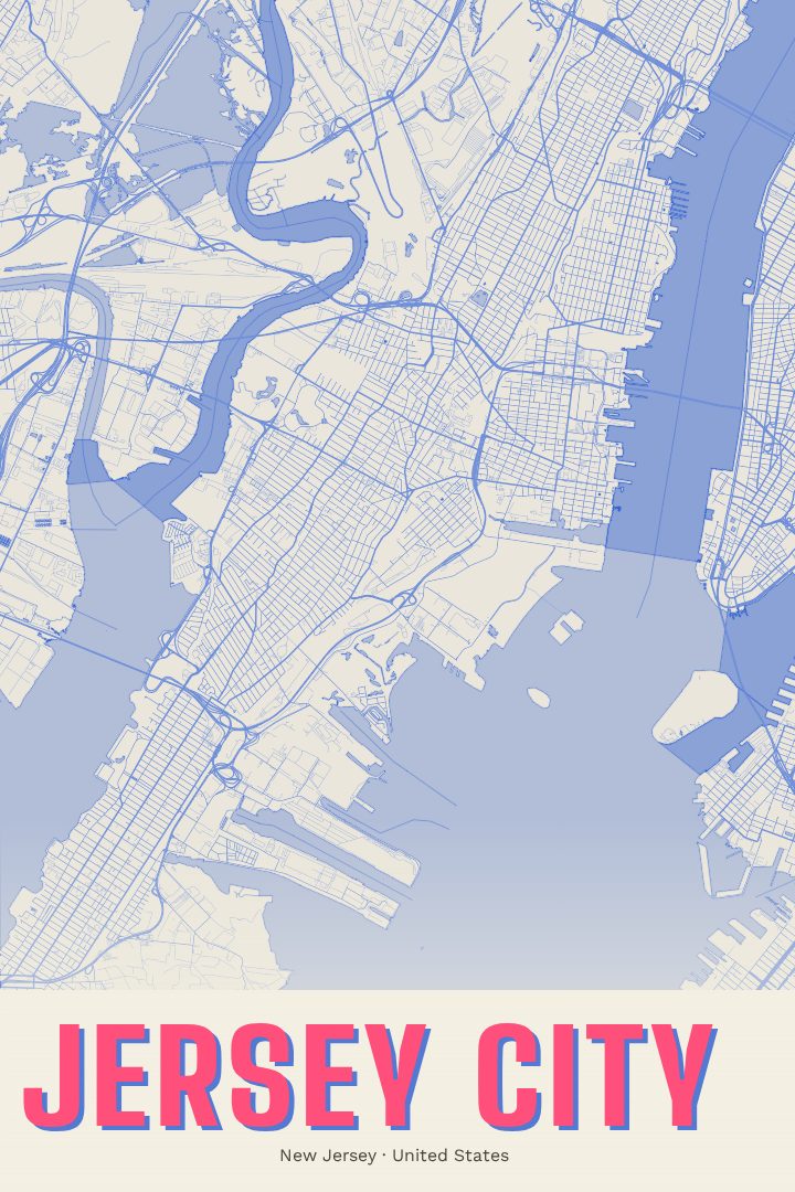
This poster renders Jersey City's street grid in the Blueprint style, a clean, technical-drawing look that suits a place shaped by rail yards, piers, and a long history as a working port. It is a city map made for the wall rather than for finding a route, a way of keeping a familiar place in view in a form that reads as both graphic design and a portrait of somewhere real.
It makes a good fit for someone who grew up in Jersey City, recently moved there, or left and still thinks of it as home. It also works as a gift for a commuter who knows the PATH stations by heart, a couple marking their first apartment near the waterfront, or anyone who prefers the Jersey side of the river. In a home office, entryway, or living room, the Blueprint treatment keeps things understated while still giving the city's shape a clear presence.
Make a custom map poster of your own routeDid it yourself? Make a poster from your own Strava activity
Route details
- Location
- New Jersey, United States
- Collection
- Cityscapes
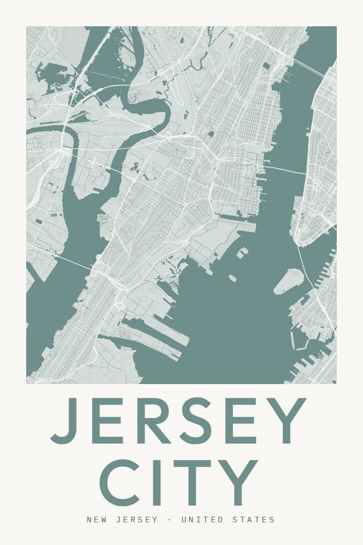
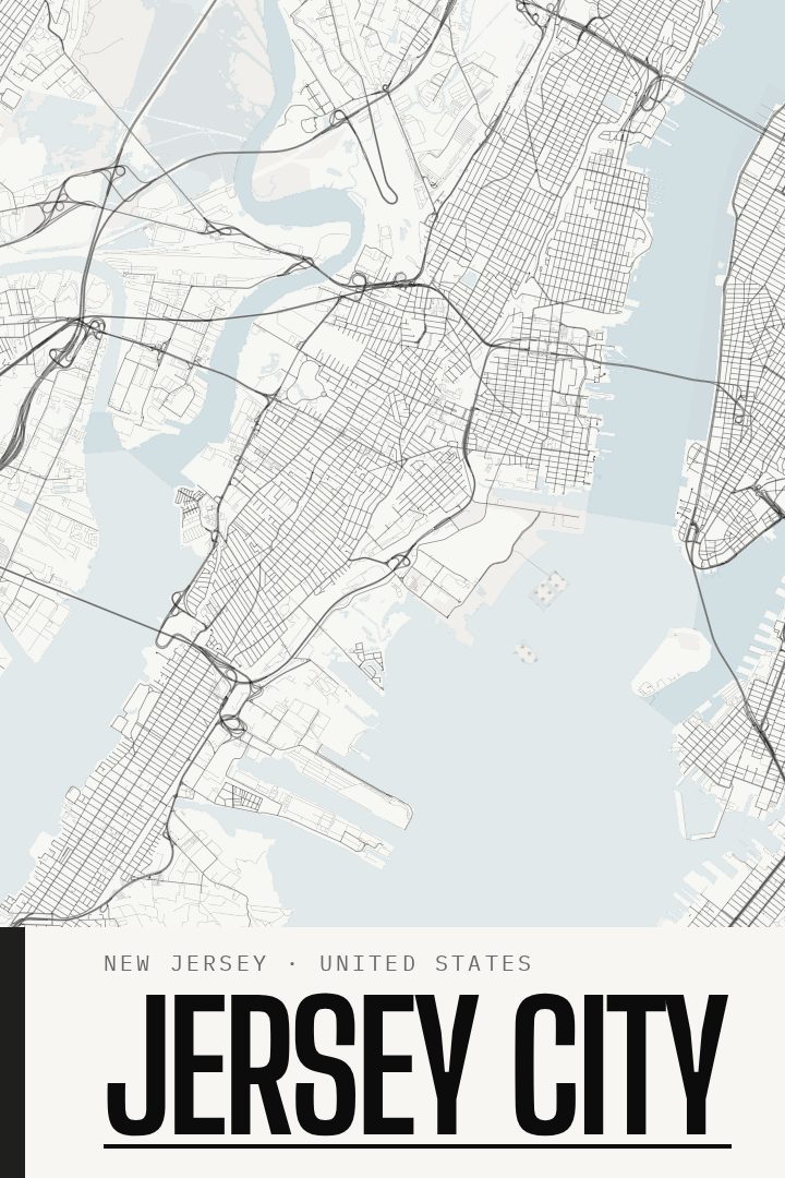
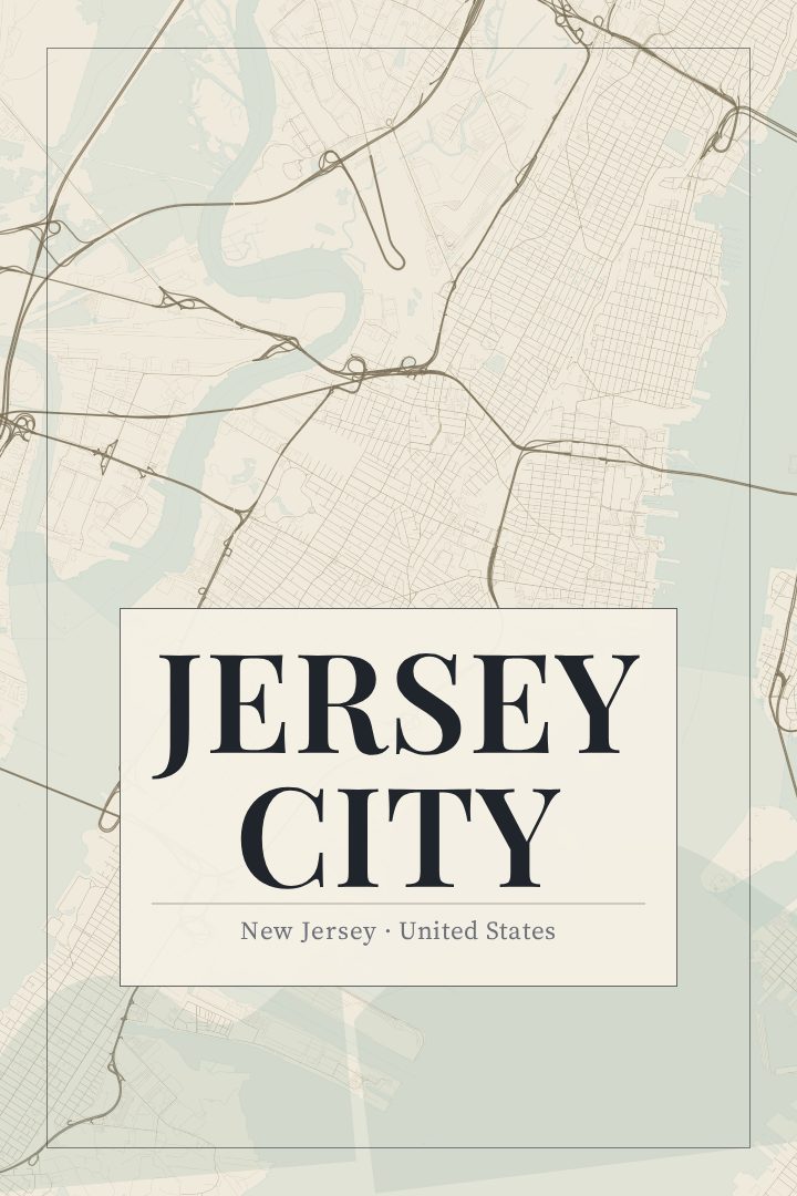
Same city, different style
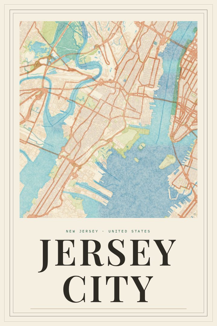
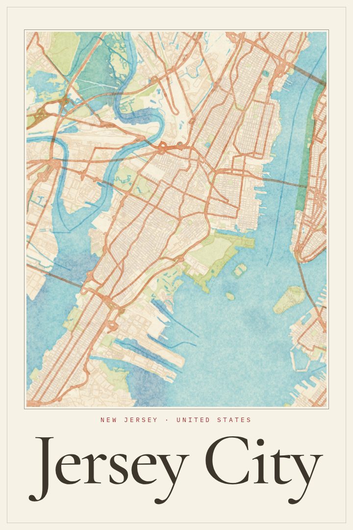
Jersey City in every style
You might also like
Related map posters




Part of a collection