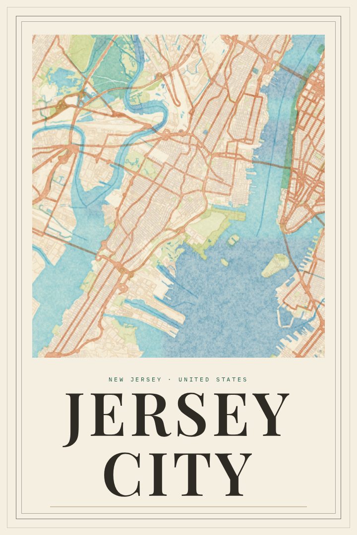
Shown at 16×24" · Archival Matte 250 gsm
Jersey City City Map Poster
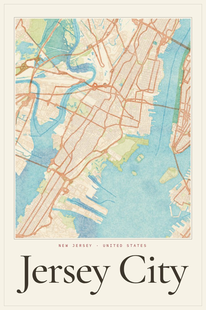
Painted Survey
About this print
Jersey City map poster
Jersey City sits on the west bank of the Hudson River, facing Lower Manhattan across the water, and has a character all its own. This Jersey City print in the Painted Survey style captures the city as a street map, a reminder of a place shaped by rail lines, ferry crossings, and generations of people arriving from somewhere else and making it home. It suits anyone who has lived here, grew up here, or simply spent enough time on its sidewalks to feel attached.
The city has long been a place of arrival and passage. Liberty State Park looks out toward the Statue of Liberty and Ellis Island, and the old waterfront has given way to towers, parks, and promenades along the river. Inland, neighborhoods built over a century or more hold brownstones, corner stores, and busy commercial streets, and the PATH trains keep the whole place tied closely to New York while it holds on to its own identity. For people who know it well, a street map of Jersey City brings back commutes, first apartments, favorite restaurants, and walks by the water.
Painted Survey is a visual design style, giving the map a softer, painterly feel than a standard street plan, so it sits comfortably in a living room, a hallway, or a home office. It is made as decorative art rather than a navigation aid, meant to be looked at and remembered by. It makes a thoughtful gift for a new resident, someone who has moved away and misses the city, or a longtime local who is proud of where they come from.
Make a custom map poster of your own routeDid it yourself? Make a poster from your own Strava activity
Route details
- Location
- New Jersey, United States
- Collection
- Cityscapes
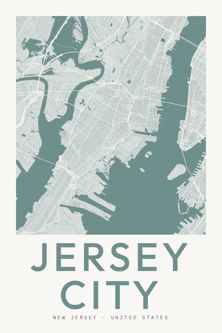
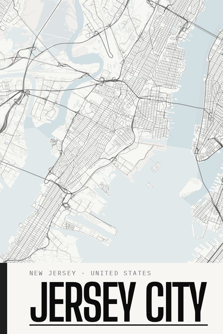
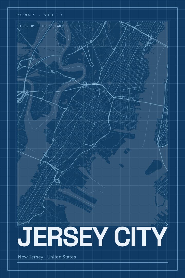
Same city, different style
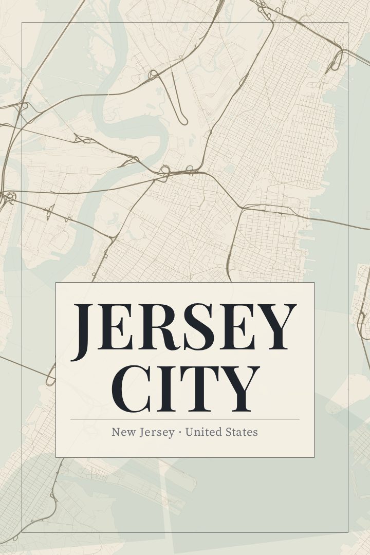
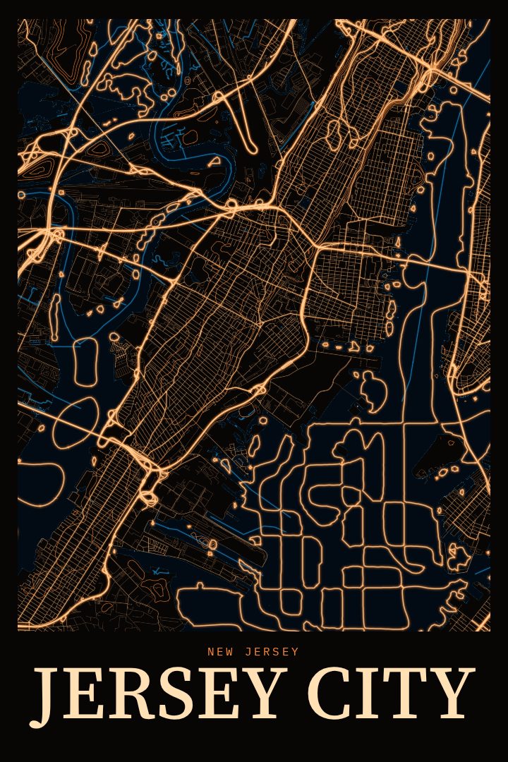
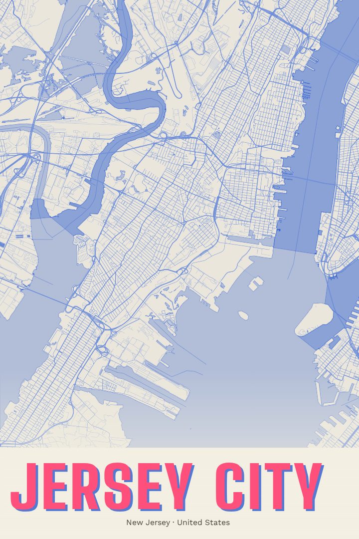
Jersey City in every style
You might also like
Related map posters




Part of a collection