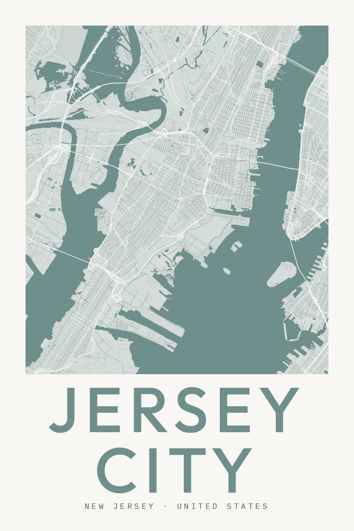
Shown at 16×24" · Archival Matte 250 gsm
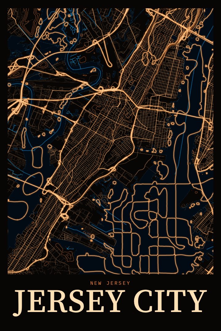
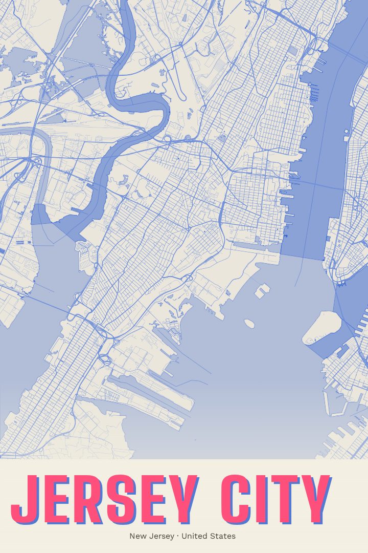
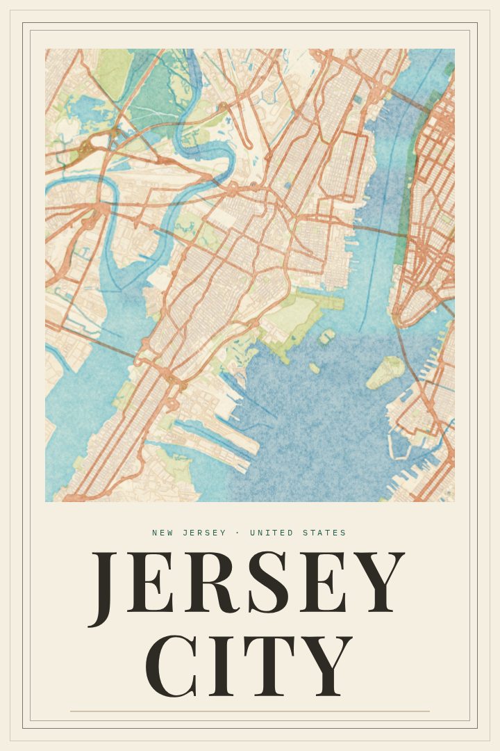
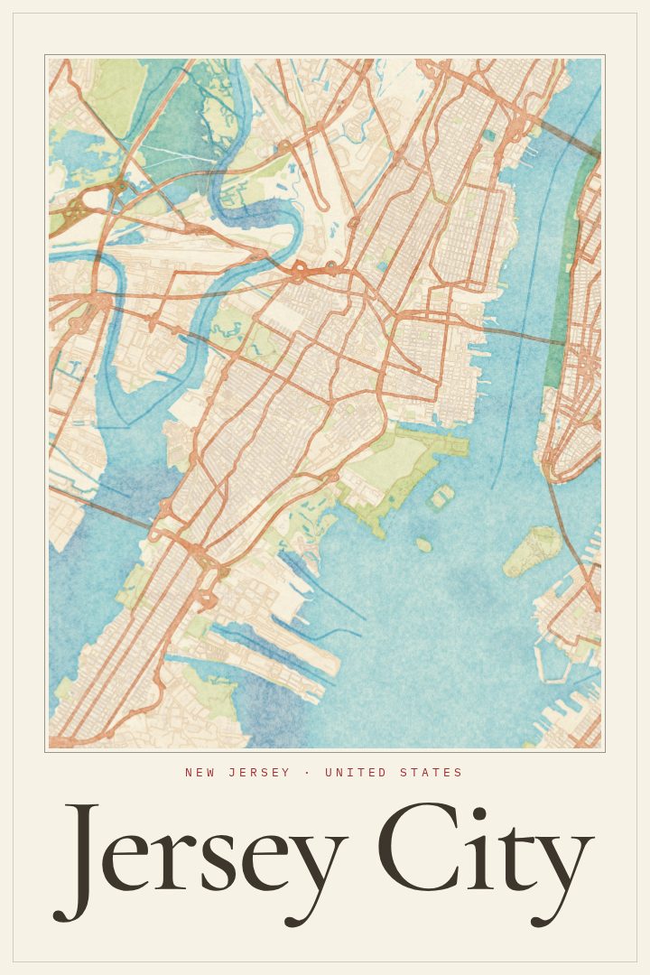
Jersey City City Map Poster
Classic
About this print
Jersey City map poster
Jersey City sits on the west bank of the Hudson River, facing Lower Manhattan across the water. Its streets carry the history of a working port and rail town that has become one of the liveliest residential corners of the New York area. Downtown, Journal Square, the Heights, Bergen-Lafayette and Greenville each have their own rhythm, from brownstone blocks and corner bars to busy commercial strips and quiet side streets. The waterfront, Liberty State Park and the PATH trains that run under the river are part of daily life here, and the mix of old row houses and new towers gives the city a character all its own.
This print is a street map poster of Jersey City in the Classic style, a clean look that fits comfortably in many kinds of rooms. It can mark a first apartment near Grove Street, welcome someone who just moved across the river, or let a lifelong resident keep the whole city in view. It is decorative art rather than a navigation aid, meant to be looked at and lived with.
For people who know Jersey City well, a map like this tends to start conversations about a favorite pizza place, the block where a grandparent lived, or the walk to the ferry each morning. For newer arrivals, it is a way to get acquainted with a city that rewards exploring on foot. Either way, it brings a piece of Hudson County home.
Make a custom map poster of your own routeDid it yourself? Make a poster from your own Strava activity
Route details
- Location
- New Jersey, United States
- Collection
- Cityscapes
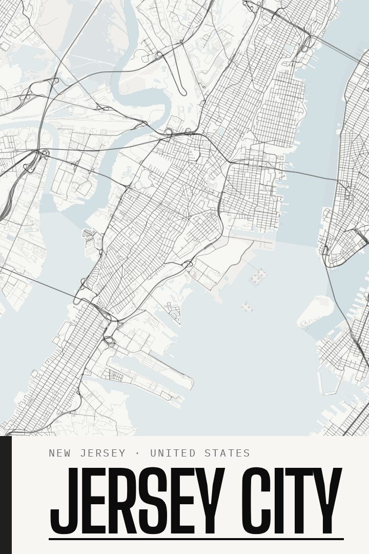
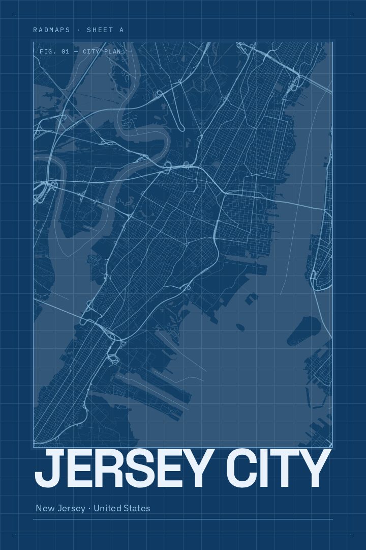
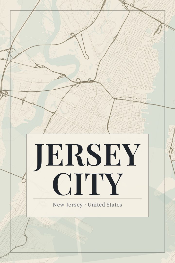
Same city, different style
Jersey City in every style
You might also like
Related map posters




Part of a collection