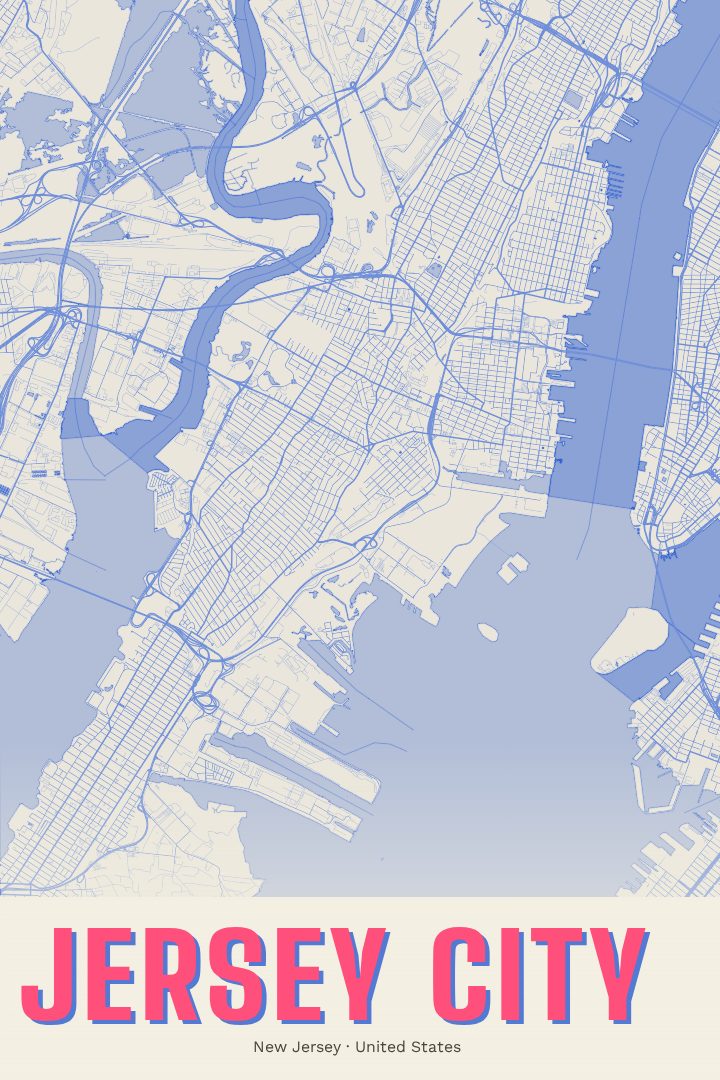
Shown at 16×24" · Archival Matte 250 gsm
Jersey City City Map Poster
Overprint
About this print
Jersey City map poster
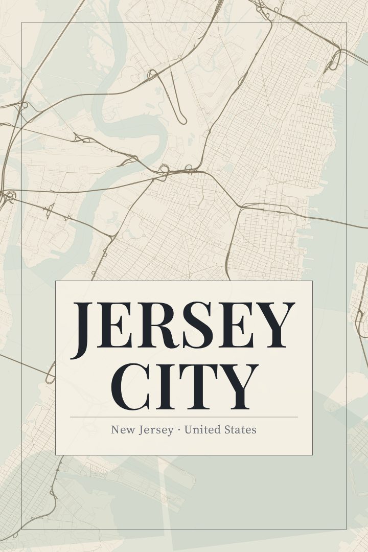
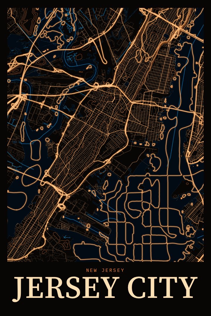
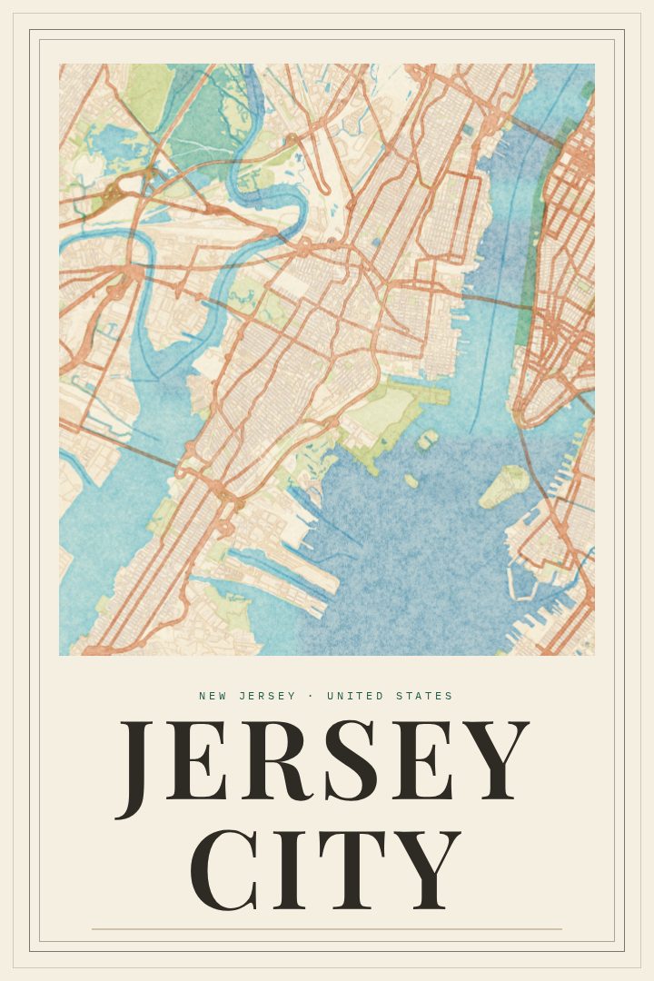
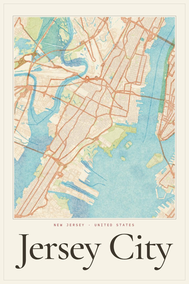
Jersey City sits on the west bank of the Hudson River, directly across from Lower Manhattan, and its street grid carries the marks of a long life as a port and rail town. This poster is a street map of the city in the Overprint style, made for people who have lived here, worked here, or come home here at the end of a PATH ride and want the place on their wall.
The city is a patchwork of distinct corners. There are the brownstone blocks of the Heights and downtown, the newer towers along the waterfront, and the busy commercial stretches farther inland. Liberty State Park opens onto the harbor, with the Statue of Liberty and Ellis Island close offshore. For many residents, Jersey City is where a first apartment was signed, a family settled after arriving from somewhere far away, or a daily commute traced the same streets for years. A map of those streets can hold a lot of memory without saying a word.
The Overprint edition is a graphic design style with bold, layered color, a look that sits comfortably in a living room, hallway, or office. It works as a housewarming gift for someone who just moved to the city, a parting gift for someone leaving it, or a reminder for anyone who grew up nearby and still thinks of it as home. Like every RadMaps print, it is decorative art rather than a navigation aid, meant to be looked at and remembered by, not used to find the way.
Make a custom map poster of your own routeDid it yourself? Make a poster from your own Strava activity
Route details
- Location
- New Jersey, United States
- Collection
- Cityscapes
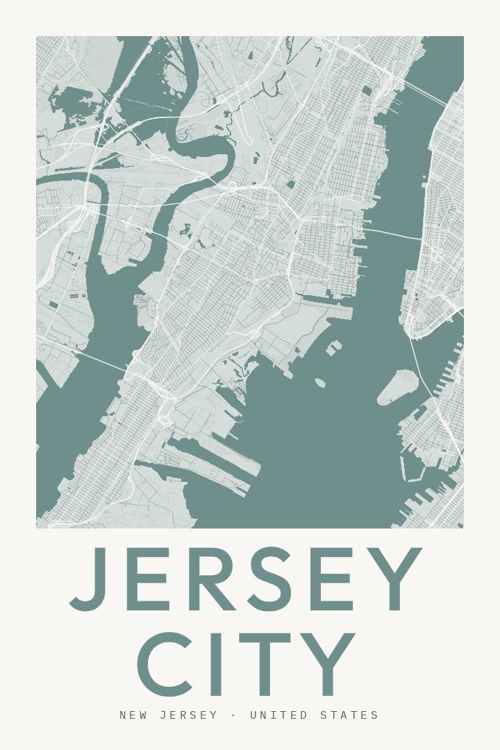
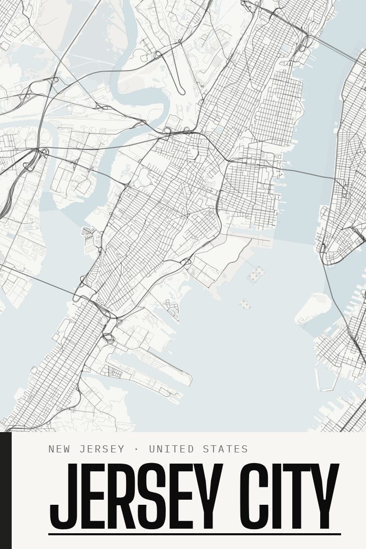
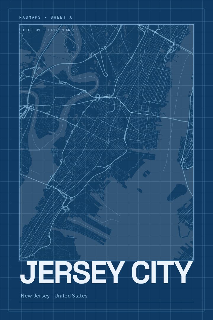
Same city, different style
Jersey City in every style
You might also like
Related map posters




Part of a collection