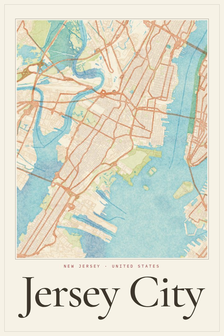
Shown at 16×24" · Archival Matte 250 gsm
Jersey City City Map Poster
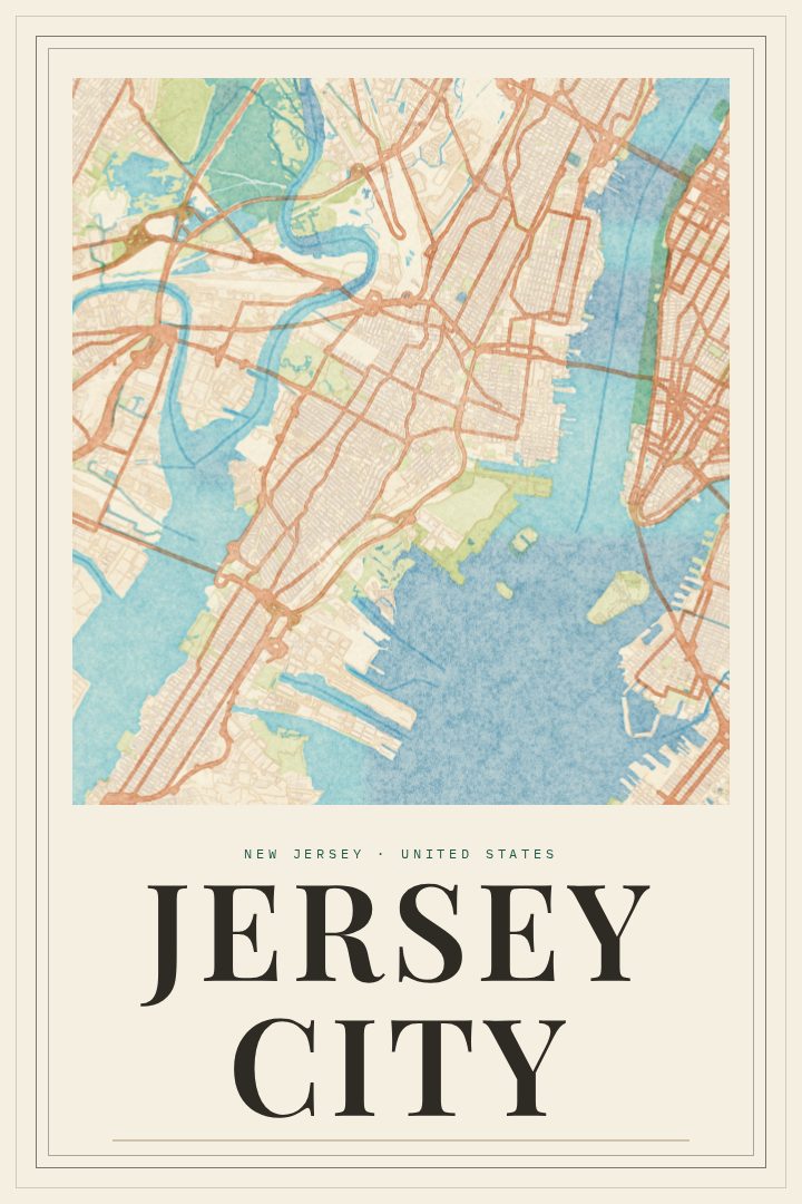
Watercolor
About this print
Jersey City map poster
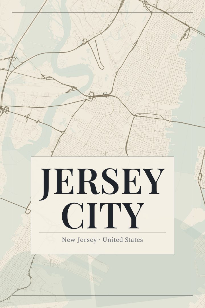
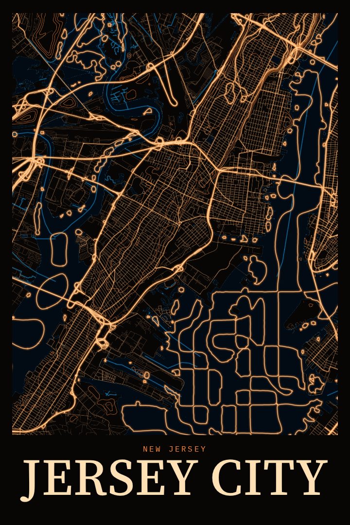
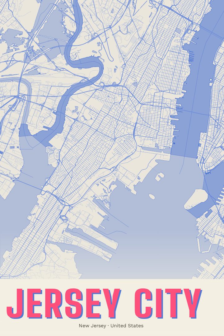
Jersey City sits on a peninsula between the Hudson River and Newark Bay, facing Lower Manhattan across the water. It is a city of distinct parts: the waterfront towers around Exchange Place and Newport, the brownstone blocks of Downtown and Paulus Hook, the hilltop streets of the Heights, and the neighborhoods stretching south toward Bayonne. PATH trains and ferries tie it closely to New York, yet it keeps its own character, from the bustle of Journal Square to the open lawns of Liberty State Park, where the Statue of Liberty and Ellis Island sit just offshore.
This street map poster comes in the Watercolor edition, a soft, painterly design style with gentle color and loose edges. That look suits a place shaped as much by its shoreline as by its dense blocks. The result reads as a calm, decorative piece rather than a technical drawing, and it is made for a wall, not for finding a route across town.
It makes a fitting keepsake for someone who has lived in Jersey City, commuted through it for years, or moved away and still thinks of one particular corner of it as home. It also suits a new resident settling into a first apartment there, or anyone who knows the Manhattan skyline best from the other side of the river. Each print is produced digitally, and the available options are listed on this page.
Make a custom map poster of your own routeDid it yourself? Make a poster from your own Strava activity
Route details
- Location
- New Jersey, United States
- Collection
- Cityscapes
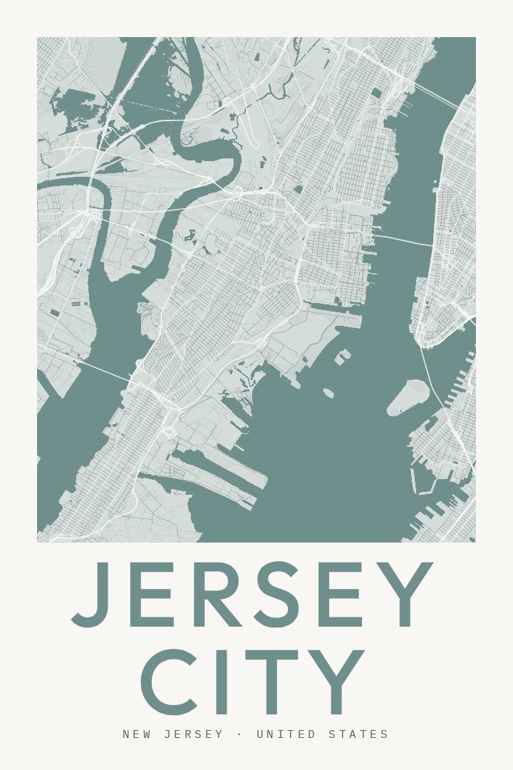
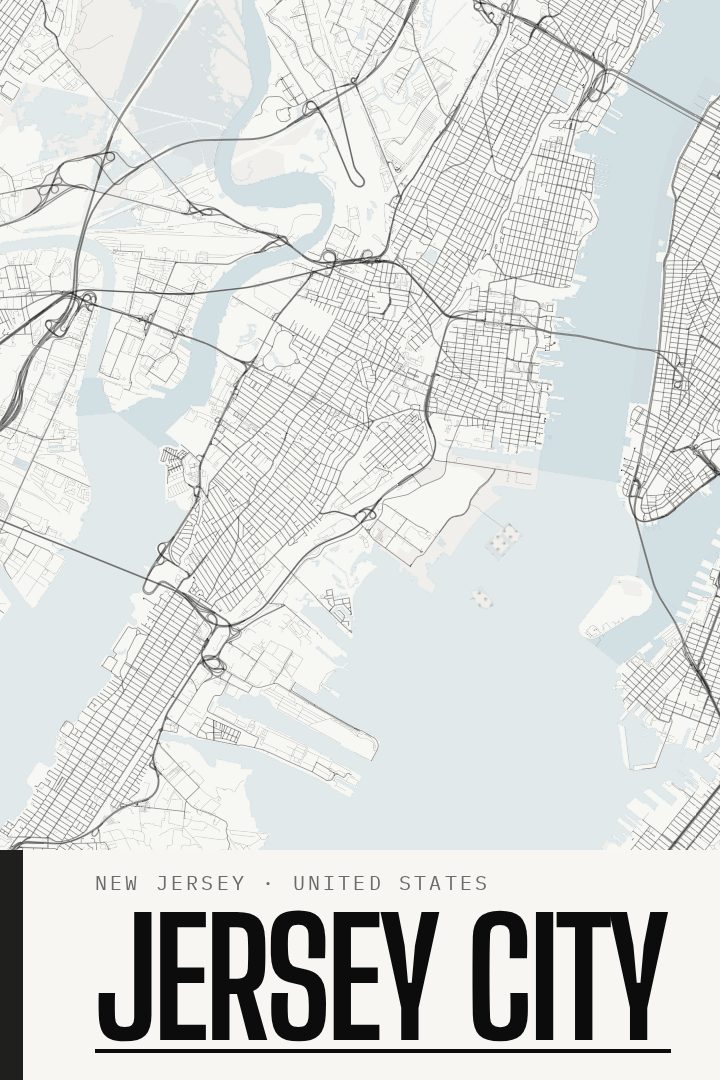
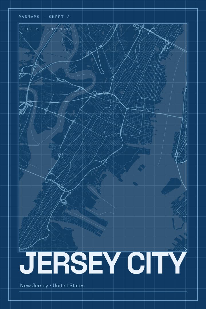
Same city, different style
Jersey City in every style
You might also like
Related map posters




Part of a collection